Please excuse the MacArthur-like analogy but, 1 year, 7 months and 14 days after beating a hasty retreat from Chile in the face of a global pandemic, finally we “have returned” ! Never in our wildest thoughts ( back in March 2020 ) did we expect we would be away that long. Fortunately, the time back in Kelowna was quite productively spent and the upside was that it was wonderful to re-connect with so many friends and family during our time at home. But, global travel is most definitely back “on” and we are genuinely thrilled to be on the road again ( well, almost ! ).
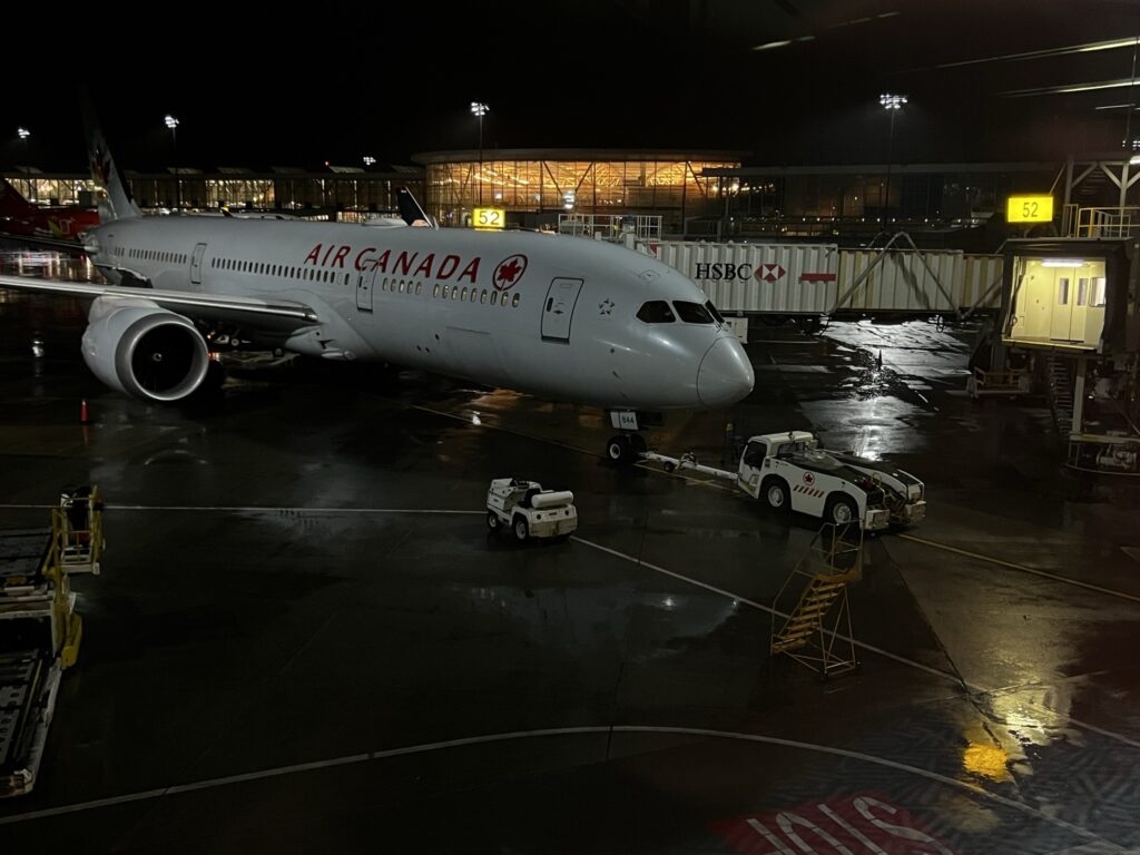
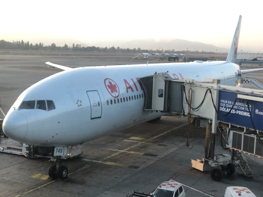
Last time time we saw a sight like this the plane was bringing us home from Chile. Our plane at Vancouver airport
On November 4th, after a tortuous, stressful, circuitous and incredibly tiring 44 hour journey from Kelowna, BC, Canada, we landed at Santiago International airport in Chile. Trust me when I say there were days when I wondered if the world would ever get back to ‘normal enough’ for that to happen. For those ( like I ) who have been engrossed in how the world has tackled COVID, Chile ( after a very rough start ) quickly moved into the big leagues and tackled the vaccination of their population with gusto. Currently one of the most vaccinated nations in the world with almost 80% fully vaccinated, they are actively doing 3rd shots ( boosters ) and have opened up to foreign travel, albeit with some fairly rigorous requirements. As such we feel comfortable being here and have now seen first hand how impressive and organized their process is for ensuring foreign travellers do not risk the success they have had in fighting COVID 19. Travellers need to be double vaccinated, compete comprehensive declarations on-line prior to arrival, have adequate medical insurance ( covering Covid ) and be prepared for 5-7 day quarantine on arrival ( waived if you pass an obligatory, but free, PCR test on arrival in the country with results delivered in a maximum of 24 hours – ours came in 9 ). For the first 10 days in the county you complete a daily attestation as to your health with a simple an easy to use app. So, they pretty well have it all covered ! The airport process was well organized, friendly, and easy to navigate. Slick……..
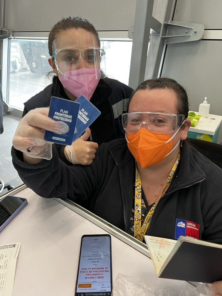
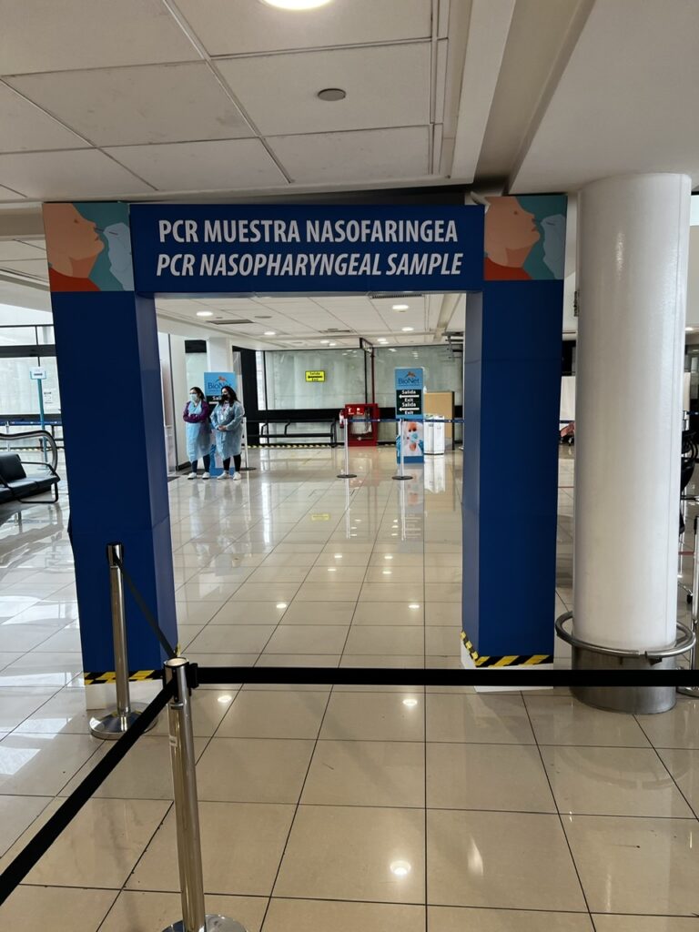
Friendly Chilean airport staff guiding us through the COVID protocols on arrivalAirport staff ready to do the nasal swabs. Fast, friendly and results same day !
Readers who have traveled on long, multi-stop international flights in the new COVID world will know what I mean when I say – air travel sure isn’t what it used to be. Unquestionably the most drawn out, nerve-wracking, tiring, bureaucratic and at times painfully frustrating experience we have ever endured during our many years of air travel and we are certainly glad it’s now behind us. The stress multiplier, these days anyway, is the need for a negative PCR ( Covid ) test taken before you leave home and now required to enter many countries ( Chile being one such). The labs take 30-48 hours to provide a result ( in our part of Canada anyway ) and you ( typically ) need to be in the destination country ( or at least on the last flight sector to that country ) no later than 72 hours after the test was taken. When you consider our flight time ( with layovers ) was 34 hours you can see that it gets a little, ummm, shall we say….tight ! I won’t bore folks with the intimate details but a heads up to those planning long, multi- sector, international flights now that the world is opening up – it’s a nail biter, and make absolutely sure you have all your ducks ( or should I say “docs” ) in a row. Not for the faint of heart.
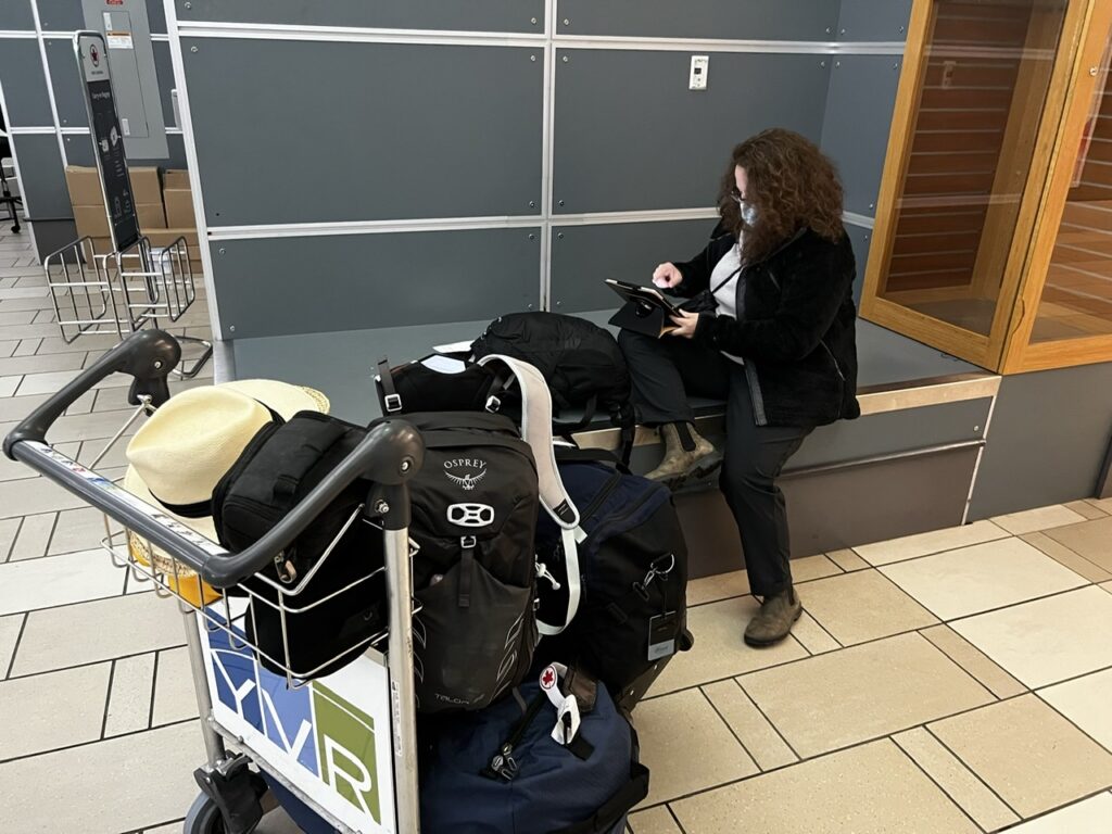
Lois doing some last minute on line documentation for the Chilean government so we could board our flight in Vancouver. When we left Houston ( our last stopover ) for Santiago 6 people were denied boarding due to inadequate documentation. Ouch ! Bags were removed from the plane and we left an hour late
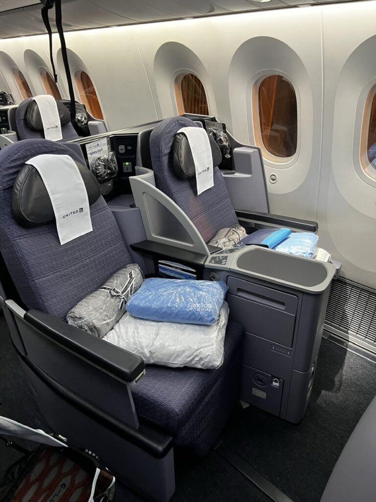
We had anticipated some of this and to ease the pain of the extremely long return journey, and the associated rigorous COVID protocols, we had at first decided to overnight in a hotel en route to Santiago. Sadly the 72 hour rule precluded that ( our PCR tests would then expire before we arrived ) so the only other option was a business class flight ( getting soft, I know, I know, but we convinced ourselves we deserved a break ). And hey, we had the points, why not use them ? Pretty reasonable on a one way flight actually. Those delightful airport lounges, and very comfy fully-reclining, wide seats on the plane really made a difference this time (though I am concerned Lois may get used to it ! ).
We are very used to walking right past these seats when boarding a plane- nice to be sitting in them this time !
Now that we are back in Chile, we are excited to complete the Pan American highway ( destination Ushuaia ) and beyond that further exploring in Argentina, Uruguay, Brazil and possibly eastern Bolivia. Our goal is to do that by April / May next year. It’s unlikely we will tackle the Guyana’s – a loooong way north and having lost so much time to Covid ( and with a wedding coming ) we just have to make some decisions on what our travel priorities are. More on that in the months ahead but our immediate plan is to travel Chile’s legendary Carretera Austral and other parts of Patagonia en route to Ushuaia. It’s tremendously exciting and has always been one of, if not THE, primary goals of this whole journey.
On a more personal note, I mentioned a wedding above. Lois and I were thrilled to learn that our daughter is getting married in September 2022 so that means we will almost certainly be back in BC all through our Canadian summer next year helping plan that. The plan beyond that is to continue overlanding later in September next year and we are currently weighing up possible destinations – so many countries, so little time.COVID cooperating of course !
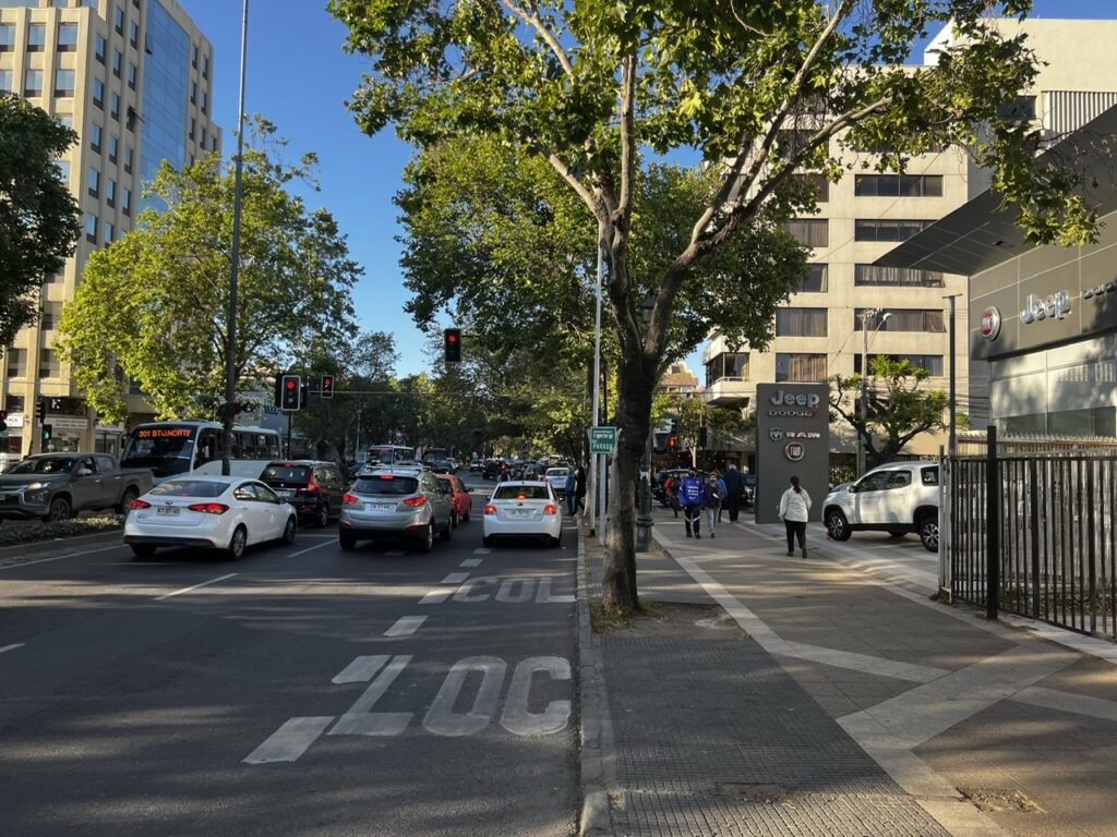
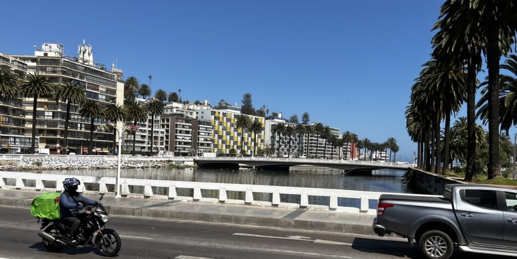
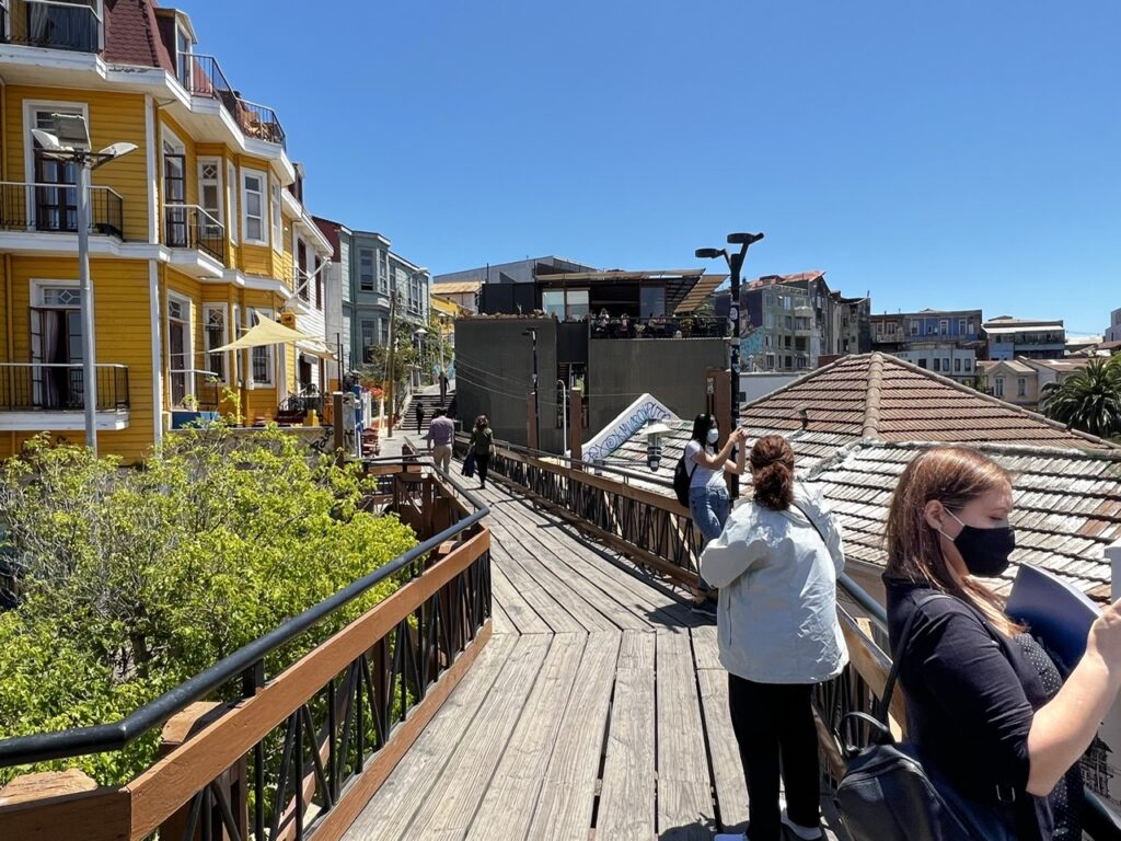
Stay tuned, and thanks for staying with us during COVID- I hope this finds all our readers well and, like us, chomping at the bit to get on the road again…………! I’ll close with a few pics of our first couple of days back in Chile, spent around Vina Del Mar and Valparaiso. We expect to pick up the truck on Sunday this week and start heading south right away.
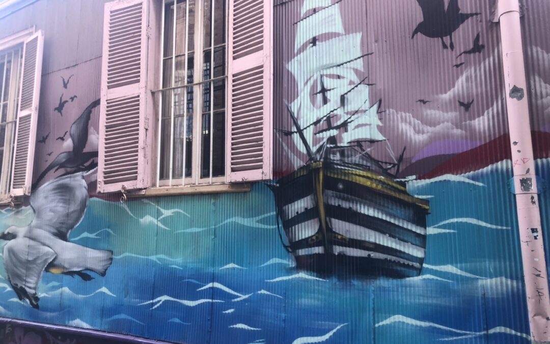
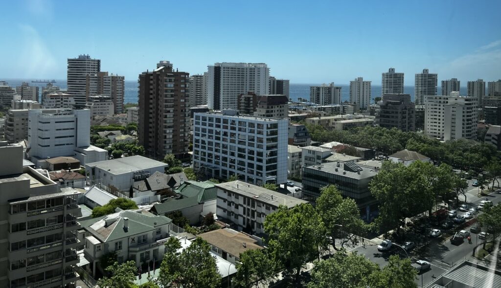
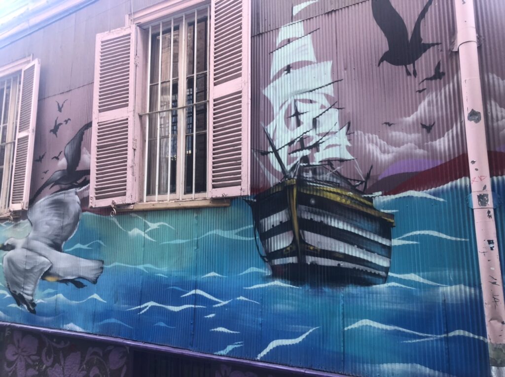
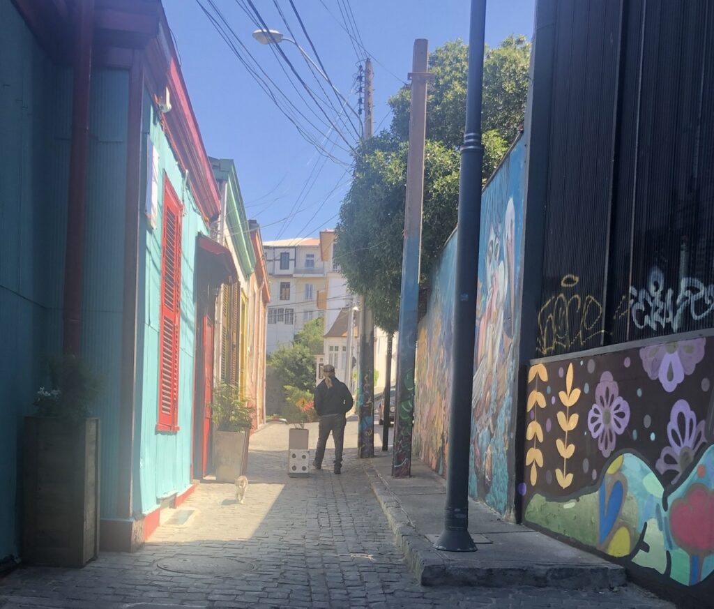
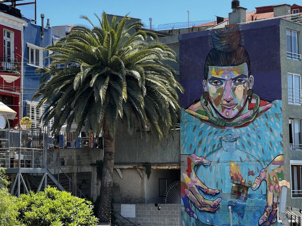
Street scene in Vina Del Mar Vina Del Mar Vina Del Mar from our hotel Valparaiso murals Valparaiso backstreet murals and colored houses Valparaiso muralValparaiso neighbourhood of colorful houses up above the Queen Victoria funicular – very steep in “Valpo”
“How time flies” as the old adage goes. If you can believe it, this coming week it will have been fully a year that has passed since we hurriedly packed up some necessities, stored our truck/camper in a little town outside Santiago, and jumped on the next plane to Canada – March 21, 2020 to be exact. Readers may recall this image headlining that final ( for 2020 anyway) “Exit from Chile” blog post:
Our plane for the sudden trip home – fortunately we left when we did, it became much harder just a week later
Much has changed in the world in the last 12 months – and who could have imagined it playing out like it did ? While we are not out of the woods yet, with vaccinations in full swing globally, let’s hope we have turned the corner and that life can, in the coming months, start returning to normal.
We’ve been with this pandemic for so long now that it’s easy to forget what “normal” was – remember, life before masks, intermittent lockdowns, social distancing and copious daily applications of hand sanitizer ? It’s also amazed us how quickly everyone has just gotten used to this ( albeit temporary ) “new normal”. Interesting as well to look around the world and see how different countries have tackled it – there have certainly been some surprising outcomes.
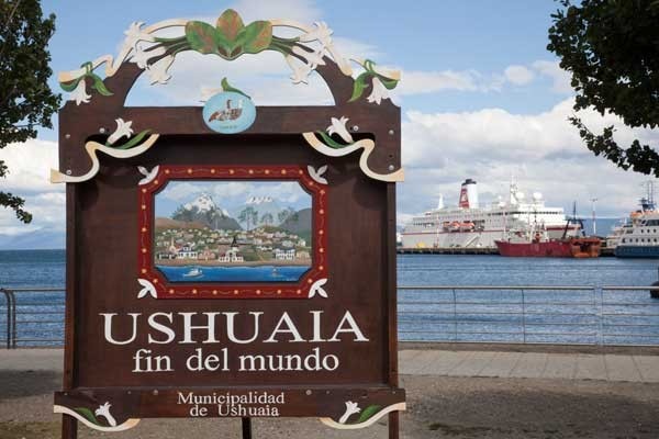
It seemed like the one year anniversary of our hasty retreat from overlanding in South America was a good time to update readers on what has since transpired for us, what we are working on, and when we plan ( or should I say, “hope” ) to be back on the road – with 38,000 kms of the Pan American highway under our belt we have about 5,000 kms still remaining to reach our destination of Ushuaia. When it comes to the PanAmerican highway this quaint Argentine town on the island of Tierra del Fuego at the very bottom of South America marks ( quite literally ) the end of the road. Or, as the the Argentines call it, Fin del Mundo – the end of the world.
Ushuaia, Argentina – the end of the PanAmerican Highway
Given that we have not yet been vaccinated, and won’t be until at least July, travelling right now is not viable. Unfortunate, because now is the ideal time to be in Patagonia and travelling the Carretera Austral considering it’s their summer. It’s just not a place to go in winter ( in fact much of it shuts down ) so if you don’t get there by April at latest one is simply best to wait until the southern Spring – which is October’ish.
That, in fact, is exactly what we plan to do – assuming all is good on the COVID front, assuming we are vaccinated and assuming the world is back to a semblance of normality, we would depart Canada sometime in September, fly to Santiago, pick up our truck and continue the journey. The loose, and I stress “loose” ( if COVID has taught us one thing it’s not to plan too far ahead) idea is to spend 4-6 months travelling to the bottom, then working our way back up the famous Route 40 in Argentina through to Eastern Bolivia, southern Brazil, and on to Uruguay. It’s not likely, having lost this much time, that we will loop all the way back up to northern Brazil or the Guyana’s but we will see how it unfolds. When our time in South America is done we will ship the vehicle home and sell it ( unless anyone out there wants to take a great overlanding rig off us in South America and do the reverse Pan American – it can been done ! ).
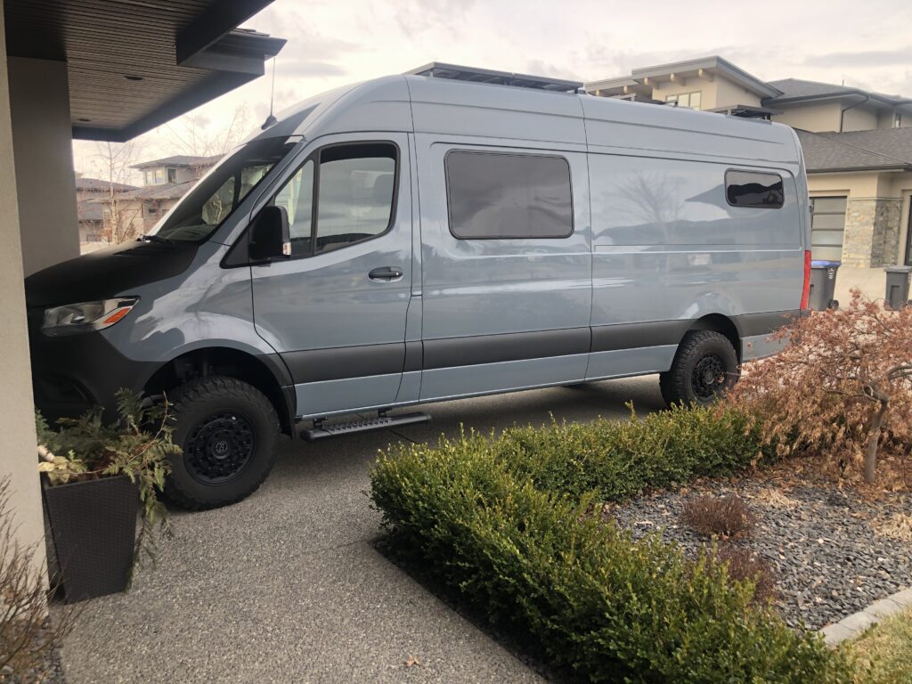
But, “Why would you sell it Jeff – there is much more of the world to explore, and surely you’ll need your overland rig?”, you might think. Indeed, there is much, much more to explore and we hope to continue overlanding for quite a few years yet, but COVID ( and basically suddenly having nothing to do ! ) inspired Lois and I to start a new project. In what might best be described as a rush of blood to the head, late in 2020 we somewhat spontaneously purchased a Mercedes Sprinter 4×4 and set about camperizing it for future overland travel. The “project” is about a third complete and we hope to have it done by this ( northern ) summer allowing us to travel in it through July and August around Canada. We will then store it here until we return from South America. Future travel will be in the new van. Here is a glimpse of how it looks so far ( we do need a name by the way so send us your suggestions ):
The new project – camperizing our Sprinter
The truck/camper has been fabulous and we could easily have continued on in it but we could not pass up the opportunity to do a van build-out when we had this much time on our hands. Essentially, we just moved the purchase forward a few years – a Sprinter had always been something we had coveted and we were actually very close to buying one when we bought the truck/camper back in 2015.
The wonderful Spring weather we are enjoying in British Colombia right now is a welcome change from the cold of mid-winter ( especially for those of us refitting a van in their driveway ! ). We are all looking forward to the coming summer and ideally a less restrictive life. Wherever you are as you read this, both Lois and I hope you are well and that your community, state, and country is getting on top of COVID. We look forward to starting the weekly blog again as soon as we are on that plane to Chile. Until then, stay healthy, and stay safe !
Postscript:
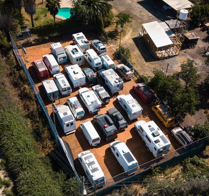
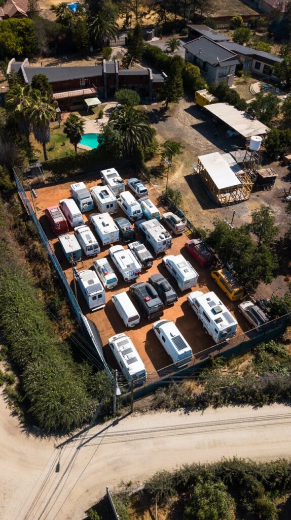
For those who have wondered ( and some have asked ) this is where our truck/camper is – ours is pretty much right in the middle ( making it more secure we tell ourselves, lol ). It gives you some idea of how many people are ( or were ) overlanding in South America at any one time ( we often speculated on that ). This is just in one part of Chile but there are doubtless thousands of overland vehicles parked in places like this all over South America
Our vehicle, along with almost 30 others, stored on the unused clay tennis court of a friendly Chilean overlander
What a difference a week makes. In fact, really just a a couple of days…….
Throughout the Covid 19 crisis to date both of us had remained resolute that we would carry on and see this through fully expecting to be asked to voluntarily self quarantine at some point where we were. I would not describe Chile’s approach as in any way lax but it had remained very much business as usual throughout the country ( with the standard precautions ) right up until just before I posted last week’s blog ( Salar de Uyuni and Beyond). Peru and Argentina ( the immediately neighboring countries ) by contrast had taken seemingly draconian measures – particularly targeting foreign travellers, some of which were very disturbing and, in some cases, absolutely xenophobic.
Glad we had gotten out of Bolivia days before that border closed and ultimately glad we did not enter Argentina, we, along with many other overlanders, felt very comfortable being in Chile. In the ensuing days, that all changed quite dramatically and with it our original plans to tough it out for what we expected would be a “few weeks” in Chile. The warnings were suddenly coming thick and fast and from every direction. Below, in no particular order, were the changes we saw in a just a matter of days:
1. An ominous warning that it was “time to come home” from Canada’s PM. Canada’s ability to do much to help us was quickly diminishing. We knew there simply were not enough planes to get everyone back and once borders closed, and nations went into “lockdown”, returning would become a logistical nightmare.
2. Airlines started cancelling flights……en masse. Not just cancelling, but announcing that services were being cut indefinitely. One headline had it that there would soon just be 6 international flights out of Canada, likely none of those to South America. All flights to South America would cease as of March 25. That date was just days away.
Ours was the flight on the bottom, LATAM 602……cancelled only hours after we booked it
3. All borders were closing and curfews were being introduced. Everywhere. Internal movement was quickly being restricted as well – this would cause a real problem for us living in a camping vehicle
4. Disturbing stories began to emerge on our primary sources of information “on the ground” in South America – the Pan American Travellers Association Facebook group, and the “Stuck in Chile” WhatsApp Forum. Campgrounds and hotels were closing to foreigners ( where would we stay ? ), initially mostly in Argentina and Peru but reports were trickling in about the same thing in southern Chile, which is where we were headed. Foreigners were denied access to ferries in some places. In other cases, in Argentina, locals were blocking roads preventing foreign vehicles from entering towns. Locals were reporting the presence of foreigners to the police who in a number of cases escorted the said foreigners out of town – heavy stuff
Chaiten is a town in southern Chile on the Carretera Austral. This was shared on the “Stuck in Chile” WhatsApp Forum
5. Military and police checkpoints were starting to appear and the first shortages of things were emerging. On top of this, early warnings about it likely just being a “2 week shutdown” to beat the virus, were being amended upwards to much longer periods. Reliable sources were suggesting many months at least. With winter coming on, and our window to complete the Carretera Austral closing quickly, we reluctantly followed most other overlanders in making plans to get out….while we could.
When overlanding it’s not just a case of jumping on the first flight out, even if there is one. We had a vehicle to deal with, on a temporary import permit, so needed to arrange an extension with Customs. Application submitted – approval pending. Hopefully not an issue down the road. We also sought out Customs at the airport to discuss leaving the vehicle ( it’s supposed to leave with us when we go ). No time to arrange shipping of the vehicle and in any case we planned to return in a few months and continue the trip, so the priority was to find suitable, secure, reasonably priced storage near Santiago and then to arrange flights ( if we could ).
Visiting Chilean Customs at the airport to make enquiries about leaving Chile without our truck. No one home…….!
At this point the “Stuck in Chile” What’s App Forum was a life saver. Kind hearted local Chileans and some resident foreigners who were part of the overlanding scene and who had space started offering storage. “Juan Pablo” came to our rescue and we secured the truck, rapidly unpacked it and left it with him in a town just outside Santiago. He even took us to an airport hotel so we could tackle our next challenge – getting a flight out. There were others who helped out as well, and the Chileans ( in our experience ) really stepped up – our campground host in La Serena had also offered storage if we were stuck ( thank you, Chris ! ). I include below images of a few other kind offers of help at what was an incredibly stressful time for all of us.
Juan Pablo and his wife Daniella have a big property and stored our truck, along with the vehicles of a number of other foreignersAn example of the the kindness of Chileans and resident foreigners during a very tough time for overlandersAnd another……And another…..
A quick search of Expedia yielded a suitable flight on LATAM via Los Angeles so that was secured right away for Saturday night. Devastatingly, just hours later, it was cancelled. Back to square one. The only other affordable option was a Delta flight via Atlanta, but it was not until Monday and we feared it too may get cancelled as more and more US states were going into “lockdown”. In the end, incredibly, we got space on Air Canada using Aeroplan points and we had just enough points for two one way flights. Three more nights and this flight would no longer exist. In fact, when we left Saturday night from Santiago, Air Canada was one of very few international flights that was NOT cancelled. Never have we been so happy to see an Air Canada plane at an airport…!
Very happy to see this at the airport !
I can’t begin to describe what a relief it was when we were “wheels up” out of Santiago and then again when we touched down in Toronto ! Unsurprisingly the connecting flight to Kelowna was less than half full……no one is flying that doesn’t absolutely need to.
The Rockies are always impressive as one approaches Kelowna from the east. A view from a very scratched up Air Canada window
We had effectively been in personal isolation in Chile for almost a week anyway ( aside from the airport transits and flights – the higher risk of infection there was something that worried us of course ). On arrival airport staff in Toronto reminded us to self isolate for 2 weeks once we got home. Fortunately we have a completely self contained and unoccupied suite in our home so that won’t be an issue and we should not interfere with the comings and goings of our kids in the weeks ahead. Boredom, hopefully, will be our biggest problem…!
So, our Pan American adventure is now on hiatus, along with hundreds of others in the same situation who have stored their vehicles all over the continent, but we do plan on returning to Chile as soon as circumstances allow, and to pick up where we left off. Something tells us that will be more than just a couple of months – in any case, even if it is 5 or 6 months that should give us time to enjoy a nice summer in the Northern Hemisphere and allow us to restart the journey as spring/summer arrives in the Southern Hemisphere ( October/November ). Time will tell…..the whole world has a serious virus to fight in the meantime.
Three overlander vehicles stored with Juan Pablo…….……by the next day he had 6 more as almost all overlanders were beating a hasty retreat from South America
Obviously I will put the weekly updates on pause for now. To our hundreds of loyal readers, thanks for following along on our journey, thank you for your comments, and rest assured we will be back at it as soon as we can. Stay safe, we will all get through this !
The Salar de Uyuni is an otherworldly place. Stark white, for as far as the eye can see, this massive salt flat draws visitors from every corner of the globe and is unquestionably Bolivia’s tourism crown jewel. Having seen it before in winter ( July ) we were dazzled ( quite literally ) as we drove it from north to south on a Landcruiser tour. Fast forward to 2020, now in our own truck/camper, this time at the end of rainy season and there are still remnants of the water that for several months completely covers the salar. It is this water that gives the mirror effect ( and blurring of the horizon ) that so many come to see – it is indeed spectacular !
Arriving at the “salar”…..many have left their mark hereTruck on the Salar de UyuniPondering life – Salar de Uyuni ! An almost “heavenly” experienceWhere to next ? Well, not Argentina ( read on ) !Hotel Del Sel ( Salt Hotel, Salar de Uyuni )John and Kayoko from Vancouver Island – Uyuni was our our third meeting with them on the Pan American highway
Part of tradition in the Salar de Uyuni is to take “optical illusion” images using the extreme white background to mask the distance of subjects from the photographer – one can get quite creative out there !
Lois and a bottle of Argentine red wineJohn and Kayoko in Lois’ day pack !
Driving very slowly through the wet salt it was possible to limit the amount of salt ( but not stop it ) that got on the truck and within an hour of leaving the truck was put back up on the “blocks” for a thorough hose down. Hopefully our man got it all off !
Given we were still in the tail end of rainy season, taking our vehicle on the Western Lagunas Route to Chile was always going to be a challenge. Having been this way in 2003 we should simply have passed on it and driven to Tupiza in Bolivia and then on to Salta in northern Argentina. Hindsight ! Of course, being “so close” it was decided we’d take a stab at the Lagunas Route – we could always bail out part way at Ollagüe ( on Bolivia’s western border with Chilean ) if the going got rough, and take the excellent paved road to Calama and on in to San Pedro.
Driving slowly on a very corrugated Bolivian “road”Yet the Bolivian tour drivers were able to scoot along at 70-80 km/h
That, in the end, was what we did – 5 hours of bone jarring washboarded road ( I use the word “road” generously ) from San Juan to Ollagüe was more than we could bear – most travellers don’t even try it. We have never experienced sharper, deeper ruts or more unrelenting washboarding anywhere in our travels around the globe. Brutal ! We averaged less than 15 km/h and could find no combination of speed or tire deflation to defray the constant jolting. From 65 psi, to 55, to 45 and even down to 40 ( at which point, with a camper on the back, the rear tires looked flat – I dared not go lower ) we still could not not prevent the extreme shaking and on three occasions briefly lost control of the truck. Enough already ! As they say on Dragon’s Den and Shark Tank….”For those reasons, I’m out !”
One of the smoother sections of Bolivian “road”Remote border post in Ollagüe, Bolivia
Crossing to Chile was painless and we have never been so glad to see an asphalt surface !! We ended up sacrificing all our fruit and veggies to the customs folks ( which we knew was coming ), but they were super friendly and efficient ( and apologized profusely about the fruit confiscation ). A nice welcome to Chile, living up to its reputation as the most “Western”, or developed, of all Latin American countries. Same terrain as Bolivia, just 500 metres away, but look at the road surface below !
Chilean road, less than a kilometer from the bone crushing one in Bolivia
The initial plan was to revisit the delightful Chilean oasis town of San Pedro De Atacama and cross into Argentina over the Jama Pass for the long drive south. Fate, however, would intervene. Loved our few days back in San Pedro – as pretty a desert setting as any you will find, but on the day we were to cross the Andes, the Argentine government closed all its borders. Period. No ifs, no ands, no buts. Closed.
Main Street, San Pedro de AtacamaSan Pedro’s famous churchSnow-capped mountain backdrop in San PedroMain square, San PedroLois, on the rock formations outside San Pedro
After the initial disappointment we resigned ourselves to making the long drive south via Chile’s coastal/desert highway. Not the most scenic road, and we had done it all before in a bus, but there was at least one highlight to break the boredom – the Hand of the Desert. The artist/sculptor was commissioned to do something to break the monotony of the desert drive – he certainly achieved that. In fact people now drive out here just to see it. At 11 metres high it is big !
Mano Del Desierto, Antofagasta’s famous “Hand of the Desert”. It just appears out of nowhere in the middle of the desert 75km south of the city
As the days went on we heard more about the travel restrictions placed on foreigners in Argentina – in the end we were quite glad we did not enter. At least ( at this stage anyway ) we could travel freely within Chile. Based on the many comments from overlanders on the PanAm Travellers Facebook page those in Argentina were having a very rough go of it. So far Chile was pretty relaxed. So far…….
Good roads through the desert in Chile…..but boooooring
Two days of long drives brought us to the coastal town of La Serena where we established ourselves in a very nice campground. I say that because it is relevant to the next bit of big news we heard – as we arrived, Chile announced a 90 day state of emergency. At the time of writing there was no more detail provided – that will come in the days ahead I am sure -but for now we were left with the option to keep going south or stay where we were. Fully expecting at some stage to face a 14 day quarantine, the issue then became where would we want to serve it out…..? That was happening to overlanders all over Argentina and Peru so it was expected Chile would follow.
El Arbol campground, La Serena
At this point I will digress and talk a bit about Covid 19 in South America. Firstly, we don’t want readers to think we are blasé about it, or ignorant ( we are not ), but secondly I have not wanted to add yet more discussion of this tragic topic to people’s lives – by all accounts ( from those who have reached out to us ), all hell is breaking loose at home. I am sure people have heard enough about it. So, if that’s you, skip the next paragraph. On the other hand if you are interested in hearing how South America is dealing with it, read on.
El Arbol campground, La Serena
It’s top of mind down here too of course. Like elsewhere, borders are closing which is to be expected. While there are far fewer cases and the continent is probably a degree or so removed from the worst of it, the Corona virus has definitely hit here. That said, from what we have seen, there is not ( yet anyway ) the blind panic that exists elsewhere. Toilet paper is widely available, dry foods as well, however hand sanitizer is already hard to find. People are not fighting in the aisles nor do they seem to be hoarding. Stores are limiting access to people to minimize personal contact ( I had to line up, waiting till another customer left the store, to recharge my phone with data ) and most folks are good natured about it. Again, that may just be a “yet”. We don’t have the space in our camper to “stock up” even if we were so inclined but we are sensible and do make sure we have enough basics to get by. What else can one do ? At this point it all seems pretty civil – hoping it stays that way, but fearing it may not.
At this stage, still plenty of toilet paper, but no hand sanitizer to be found anywhereLining up to enter a store…..one at a time only
So now we sit in La Serena waiting for a bit of direction from the Chilean government on what the State of Emergency will look like – can we move freely and continue south “cocooned” ( as it were ) in our self-contained camper ? We would like to. I can say that we are both much happier to be travelling this way than by plane or bus where there is much more human contact ( and thus virus infection risk ) with others. It remains to be seen whether the Chileans will be that accommodating. Fingers crossed !
Note: As we were sitting in our camper pondering next steps, a couple pulled up beside us on two motorcycles. Their accents sounded North American so I asked where they were from. “Canada”, came the reply. “What part ?” I asked. “BC”, they said. “Where in BC ?” was my next question. And they said…….”Kelowna” !!!! Well, that’s now two couples that we have met on this long overland journey who are en route to Tierra del Fuego and who hail from Kelowna. Talk about a small world.
From Rainbow Mountain it was only a few hours drive south to Puno and then on to Bolivia via scenic Lake Titicaca. Arriving in Puno with time to visit the Uros islands we hopped on a short “tour” of the Uros (floating ) islands. Home to an indigenous group that for centuries have lived on islands made of reeds ( they also construct boats of the same material ), it’s a highly “hyped” attraction but has become extremely commercialized with much more focus on selling trinkets than providing anything close to an authentic experience. I suppose once in a while you have a “fail” – this was one of ours…!
Route last weekThe Uros reed houses and boats, PunoThe Uros “tour”
Staying just outside Puno before the Bolivia crossing, as luck would have it we bumped into a couple of fellow Canadian overlanders we had last met in Mexico – John and Kayoko. They have been on the road almost exactly the same period of time as us and travelled much the same route, so we had some serious catching up to do – it was great to connect again.
Catching up with John and Kayoko in PunoEver beautiful Lake Titicaca, straddling Peru and Bolivia
Bolivia beckoned and we were genuinely excited to be back – not just because we were happy to exit Peru but because we had such fond memories of it. It’s definitely an overlander favorite and easy to see why. Previously we had entered from Chile in the south and travelled north via Uyuni, detouring to Potosi, Sucre and Cochabamba and on to La Paz. This time the plan would be a more direct route, south, crossing via the resort town of Copacabana, on to La Paz and then directly south to Uyuni – the primary aim for us in Bolivia would be to travel the Salar de Uyuni and then likely take the Western Lagunas route to Chile in our own vehicle. Much preparation would be in store ! Backup plan would be to enter northern Argentina through Tupiza in Bolivia, Tupiza reportedly being the location of the final shootout of Butch Cassidy and the Sundance Kid.
While “Evo” ( Morales ), the former President is now in exile, his name is everywhere in BoliviaThe pretty lakeside town of Copacabana – it had a grown a lot in 17 years. Had a bit of an Italian seaside village feel. Stopped for lunch here and did a bit of a walk down memory laneA ferry crossing between Copacabana and La Paz – on a very rickety barge that did not inspire a lot of confidence in usAt least there was a famous name to save us if anything went wrong !
But first we had to get to La Paz and Google Maps had given us a tortuous route through the city that put us in the middle of a Sunday flea market where roads were closed. Not the first time it has led us astray. Getting out of that was no fun, in fact, it was one of the most stressful city drives we have had to date. The rerouting and heavy traffic had us traversing downtown La Paz in the dark, something we avoid at all costs as a rule. No fun, but we survived !
We were anxious to get off the busy main road…..….and then Google directed us down this narrow street -something did not seem right…..and we ended up stuck in this Sunday market. Stalls had to be moved so we could get outImage of La Paz, to downtown from the surrounding mountains. The rock/sand formations were very reminiscent of the “Hoodoos” in Bryce Canyon, ArizonaThe nice homes were always up on top …..
After resting up in La Paz at the excellent Camping Las Lomas and getting some sage “Salar” advice from our host Marcos ( who has travelled the Salar extensively ), we set off for Uyuni. The drive south was uneventful, Oruro being the only major city en route ( and not noteworthy in any obvious way other than being the only city where we have seen traffic lights in a roundabout ! ). As we neared Uyuni the terrain became more scenic with what looked like acres and acres of farmed flowers.
Flowers outside Uyuni – we saw acres upon acres
Uyuni is famous really for one thing – the legendary salt flat ( “Salar” ) that bears its name and at 10, 582 sq kms, is the largest in the world. It is a truly incredible sight and was one of the standout natural wonders from our initial trip to South America. Well, that, a “train cemetery” and some truly eclectic Marxist looking street art I should say – check out the images below. Other than that it is pretty much a rough and tumble, dusty frontier type town.
Definitely a “workers” theme in this architecture – would fit in well anywhere in the old USSR And then there was just the inexplicably eclectic……Where trains go to die……Uyuni train graveyardBackstreet of Uyuni – litter quite bad here, too
Beyond the Salar, Uyuni is the jumping off point for a famous, remote and fairly rough road known as the Western Lagunas Route – named for the beautiful high altitude lagoons you pass on this mountainous back road to San Pedro de Atacama in Chile.
Taking a vehicle involves much preparation since it is almost 500 kms of high altiplano desert, constant washboarding with no services to speak of en route. Many travellers take the trip in 4×4 Land cruisers as we did in 2003 – this time we would be on our own. Our time in Uyuni was thus spent researching routes, stocking up on supplies, and ensuring the vehicle was in good mechanical shape. Given that most travel the route via the Salar, a thorough undercoat of graphite oil is first applied to limit the impact of wet salt getting where it shouldn’t on the car’s underbody. Having seen what effect “Salar salt” could have on disc brakes we opted for the full treatment, including a high pressure wash off after driving on the Salar. Hopefully that will do the trick.
Underbody coating with graphite oil for salt protection Impact of Salar salt on a disc brake over time – one needs to get the stuff off very thoroughly4×4 Land cruisers lined up and ready to head out to Chile via the Western Lagunas Route Tour brochure showing the Western Lagunas Route to Chile
Watch for a full report on the Salar trip and our exit from Bolivia on our next blog !
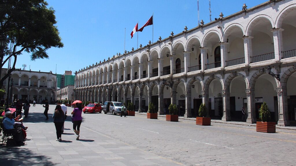
You never like to leave a city you enjoy, and while we could not get through Lima fast enough, Arequipa was another story. It’s beautiful Plaza de Armas, it’s smaller size, it’s snow -capped volcano backdrop and it’s unique sillar stone buildings make it a place one could easily linger longer. But with much to see in the days ahead, and a break in the rainy weather forecast at the Colca Canyon we decided a shot at seeing the Andean condors up close on a clear day was too good an opportunity to pass up.
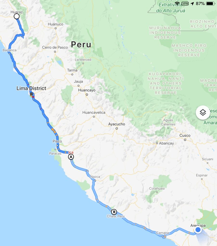
Our route this past week
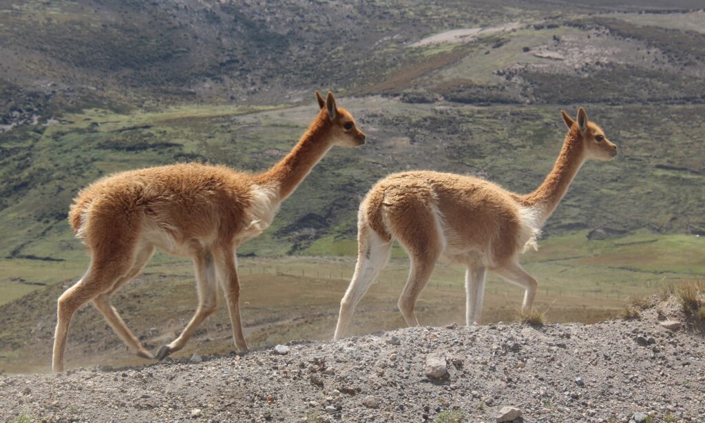
The 3 hour drive took us northwest of Arequipa through small villages, high mountain passes and hundreds upon hundreds of the various South American “camelids” – the general name of the camel family that includes llamas, alpacas, vicunyas and a few others. Seeing them all, out in the open, with snow capped mountains in the background is just such a quintessential South American image in my mind.
Fields of “camelids” – the term used when you can’t ( at times ) distinguish between llamas and alpacas !Here, vicunyas by the road, at around 4,300 metersIt’s cold up that high….but this guy looked pretty snug in that coat !
To think, even for a minute, that we actually considered NOT visiting the Colca Canyon is almost frightening. One of the deepest canyons in the world and spectacularly beautiful in its own right, the Colca Canyon is home to the Andean condor. Of course they are found elsewhere in South America, but not as reliably and not, as far as I know anyway, where they can be seen up close in their natural environment. The Cruz Del Condor mirador ( viewpoint ) at the deepest point in the canyon, an hour west of the town of Chivay provides just that opportunity – we were very glad we made the effort to go !
A view of the Colca Canyon
We almost didn’t because it was over 3 hours out of our way, had been rainy and cloudy in the area, and the big birds don’t always come out in those conditions. Two couples who we’d met earlier had little luck when they went and both also complained about the stiff admission fee to the park – actually more so about the racially based fee structure than the fee itself. See the picture below – it is blatant racial discrimination, and sanctioned by the Peruvian government no less ! To put this in perspective, it’s akin to giving preferred entry pricing to the Grand Canyon to US citizens, doubling that for other Caucasian folks, but then almost tripling that price for non-Caucasian foreigners. It would be headline news. Apparently not an issue in Peru.
The offensive “sign” and policy everyone was talking about. One expects reduced fees for seniors, children and students – that’s universal. But seeing one race ( Latinos) pay less than all other races upset many people. Imagine doing that in Canada, Australia, the US or Europe ?
I’ll let the pictures below tell the rest of the story but to say it was one of the best days and experiences of our trip so far would not be a stretch. Simply amazing ! A word of caution – between shooting many of the birds (mostly while moving) through a long telephoto lens and then having pixel size restrictions on the website, there is unfortunately significant quality degradation on many of the condor images below ( our originals are better ! )
It was cold, cloudy and wet as we arrived at the Mirador to camp for the night. How would it be in the morning when the condors come out ?Need not have worried – a beautiful day unfolded. Sitting back with a “cuppa” and just soaking it all in – what a view, waiting for the birdsIn flight, at a distance, the Andes mountains as a backdrop – our first sightingAfter floating up high on thermals for quite a while a couple did a “fly-by”. In this image, shot with a telephoto lens, the condor is at a distance, still quite high, but coming at us almost head onLower down now, still quite far away, but the bird’s immense wingspan was now obviousHere, almost in front of, and just below usRight in front of our eyes – incredible !A little later another followed, this one with different coloring…..….and came just as close !
Watching them soar and fly by was thrilling but they sometimes come to land near the Mirador as well. Our lucky day – not only did one land nearby and sit for quite a while, he/she put on quite the show spreading its wings before taking off again. An unexpected delight !
Standing on a ledge just below the mirador- for about 30 minutesThe condor drying its wings before taking off – first the back…..….then he turned to do the front ! It was quite the display
Probably one of our greatest wildlife viewing experiences, certainly of the avian variety. If you are in the area and even THINKING of visiting the Colca Canyon, just do it. Absolutely worth the effort.
Leaving Colca, there was no direct road to Cusco so our route was somewhat circuitous, involved a couple of hours of rough dirt track and took us up over 15,000 feet twice. Always a bit eerie when you’re in those areas, up that high, traversing very barren landscapes and seeing no traffic at all. Not a place you would want a breakdown. To our complete surprise, in 7 degree weather, we drove through an area of snow and hail – not what we expected in “summer” in Peru, but there it was !
Snow and hail in Peru – in summer !
Cusco is legendary – no question about it. A UNESCO World Heritage sight, capital of the Inca empire, and a highlight on every South American travelers itinerary. While we had explored the city, nearby Macchu Picchu ( in our mind still THE most amazing of all the world’s seven man-made wonders ), and the Sacred Valley with all its amazing sights during our first South American trip, we were still excited to revisit Cusco – it’s the kind place that has a magnetic appeal and attracts people from all over the world – it consistently makes the list of the Top 10 world tourist attractions. This time we simply soaked up its ambience, wandered its many backstreets, connected with other overlanders and had some necessary vehicle servicing at the local GM dealer.
View of Cusco from near the campground Typical narrow street in CuscoLois in front of a church, Plaza de ArmasJeff, at the Plaza de Armas Shopping street in CuscoJeff, in front of the famous “Stone with 12 angles”, Cusco Inca Emperor, Pachacuti, immortalized in Cusco’s Plaza de Armas
While it was wonderful to revisit Cusco and do a bit of the “tourist circuit”, a key reason for coming was somewhat more “technical” in nature – it was necessary to have the local GM dealer reprogram the Electronic Brake Control Module on the truck. Turns out there had been a recall notice issued a couple of months back and since it affected brakes it was not something that could be ignored.
Vehicle in for 84,000 km service, new front brake pads and some recall work with the brake system
Easy fix if we were back in Kelowna, but GM Canada’s vehicle coverage does not extend to South America. After telling them we were with our vehicle in Peru, and some pleading with their client service centre in Toronto, a GM dealer was identified in Cusco, Peru ( the aptly named “Inca” Motors ) who, it seems, had the diagnostic equipment to handle it. Also convenient since the 84,000 km general service was due and the front brakes were almost worn out. The truck spent a full day in their “shop” but now we should be good for another 12,000kms or so ( amazing how quickly those intervals roll around when you are permanently travelling).
One of the great sights of Peru we wanted to catch this time was Rainbow Mountain ( known as “Vinikunka” in Peru ) an incredible multi-colored mountain south east of Cusco. It’s high, at 5,036 meters and you can’t drive all the way but it is a spectacular sight…..the colors are stunning and make the strenuous hike to the top well worthwhile.
Camped half way up the road to Rainbow Mountain in a small village at 3,800 meters to acclimatize for the hike to the 5,036 metre summit in the morningA great morning as we left…sun shiningOn the way up to Rainbow Mountain we passed through some indigenous villages we saw this cute little girl. Unlike us the little kids seem to have no issue at high altitude – all have tons of energy !…..and pretty scenery till we got above the tree lineThe hike was not far in terms of distance, 1.5 kms approx, but when going from approx. 4,750 meters to 5,0326 metres it took well over an hour…a “lung crusher” as one hiker said !There were tons of people ahead of us…..….but we got to the top ! Fog rolled in as this shot was taken but we did get to see “Rainbow Mountain” ( Winikunka ) in its full glory briefly just a bit laterRainbow MountainA pretty narrow mountain road to get there and back but the views and scenery were worth it – we had real doubts we could hike at 5,000 meters. Now we know we can !
One of the great joys of travel is the interesting people you meet. As we walked back to the truck after the hike to Rainbow mountain, we struck up a conversation with a young American fellow. As always the conversation got around to what you did “back home”. “A little theatre”, was his initial answer. Curious, I probed a little further. “Anything famous ?”, I asked. Now, anything to do with Broadway, in New York, I would consider quite noteworthy, but when the guy you are speaking with is Clinton Greenspan, who had just finished a season playing Aladdin, in Aladdin, you are in the presence of theatre royalty ! Below is a link to a review with his picture in costume and below that a picture of him hiking with us on Rainbow Mountain.
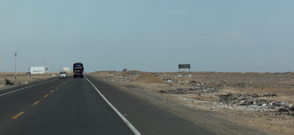
Our cool, scenic respite in the Peruvian Cordillera was to be short-lived. From the stunning beauty around Huaraz, Highway 16 wound across a high mountain plateau before rapidly zig-zagging down to sea level and joining the main coastal highway heading south. Sadly, for the next few days, it was mostly mile after mile of boring desert ( and badly littered ) highway. Fortunately the days were interspersed with with some great camping “finds” and re-visits to a few old favorite spots on the Pan American route.
This litter thing is so bad in Peru that it actually becomes a qualifier on any discussion with other overlanders about the country. We, like most others, find it very hard to overlook and, frankly, are amazed that in 2020, after what must have been decades of education about environmental awareness in the schools, people are still just throwing trash on the streets and highways. It is truly shocking to see.
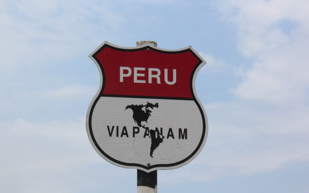
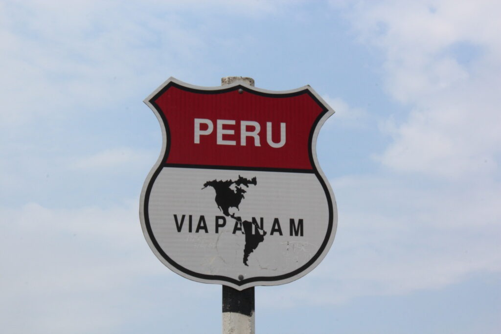
In Central and South America you see constant reference to the “Pan American” highway. While it extends north to the Arctic shores of Alaska we can’t recall ever seeing such signs along the route in Canada or the US
Lima was not on the list of places to revisit as we traversed the Peruvian coastline, this time going north to south. The two hours we spent just getting through its brutal traffic was more than enough stress and we both breathed a sigh of relief as we got to its south side and out into the beach communities along the coast.
Hamacas beach, south of LimaHamacas beach was a great camp spot we stumbled on, just south of Lima
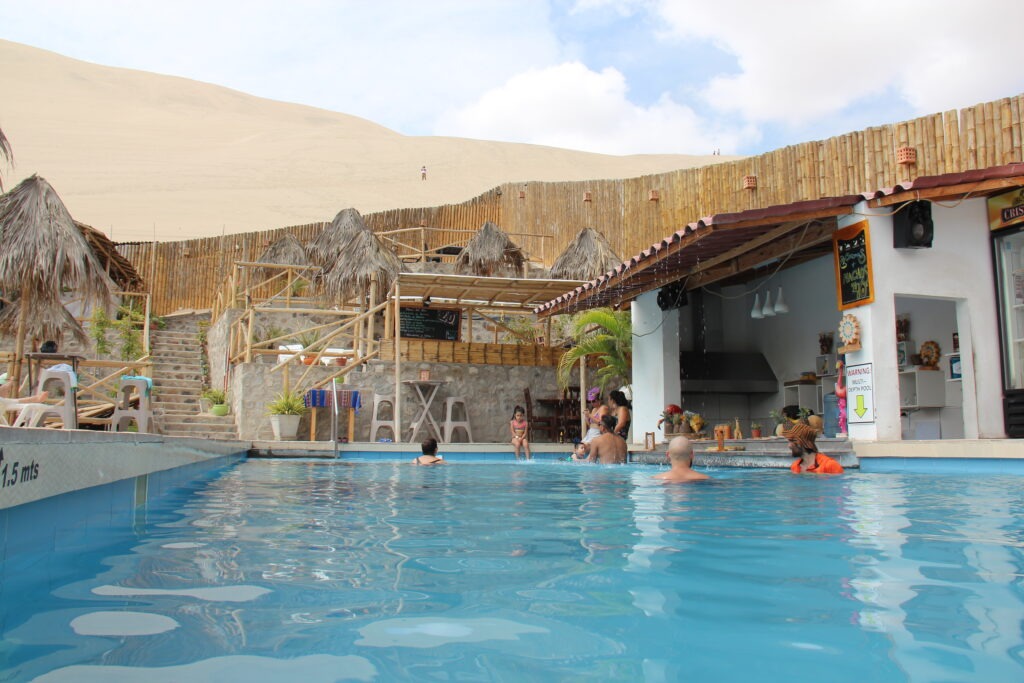
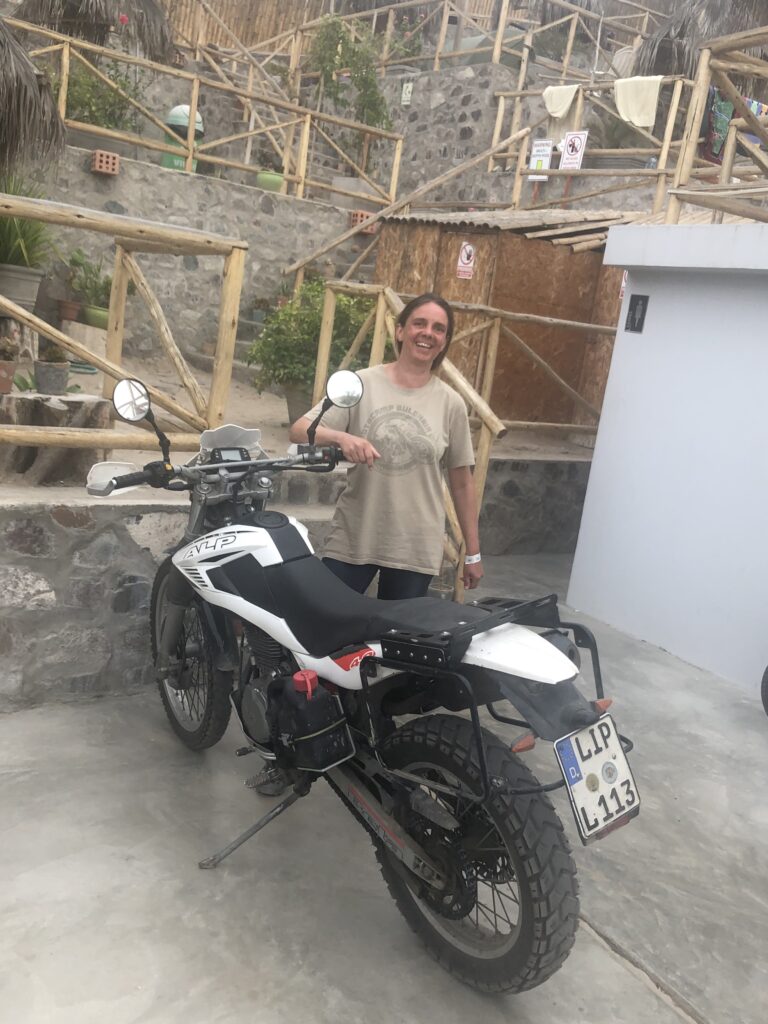
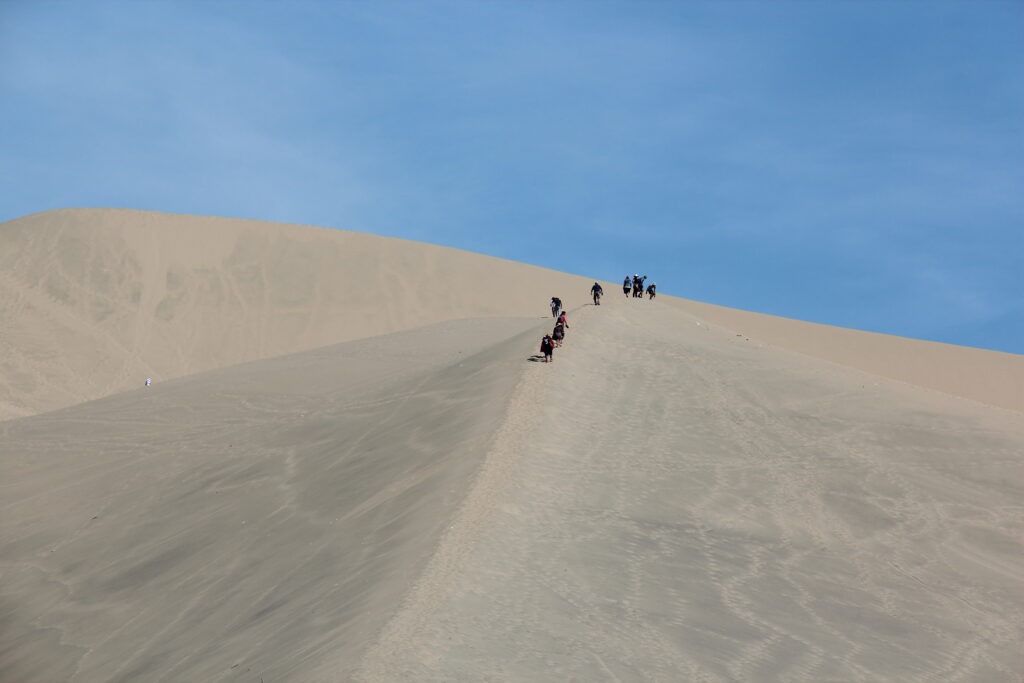
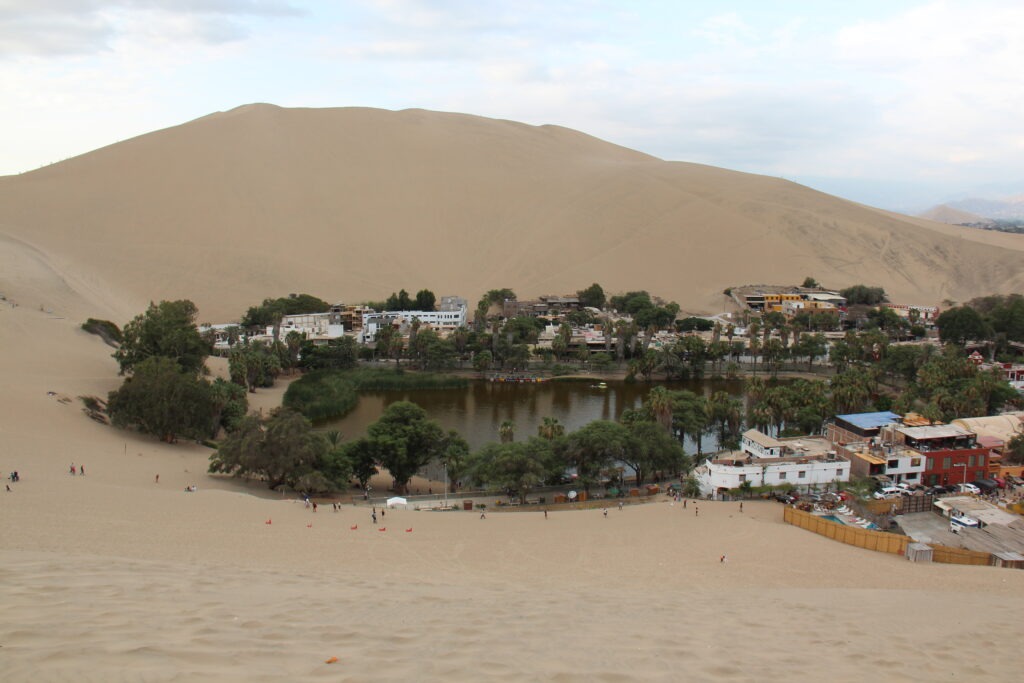
Following a night in Hamacas beach, the sand dunes town of Ica was a great place to rest up for a few days; Ecocamp Huachachina was a great location, and the pool was a welcome relief after the heat and sweat of walking/sliding in the sand dunes. Always a delight to catch up with another overlander and it was a very pleasant surprise to bump into Tina there ( she was camped next to us in Banos, Ecuador ). Sadly, she was in the final days of her South American odyssey and about to ship her bike ( and herself ! ) home from Lima.
An awesome camp spot at “EcoCamp” right in the heart of the dunes at Ica….…with great views right from the poolWe bumped into Tina, who we had met in Banos, EcuadorThe climb to the top was hot, and hard………but the views of the oasis were excellent. Our campsite is the place with the pool in the bottom right of the picture
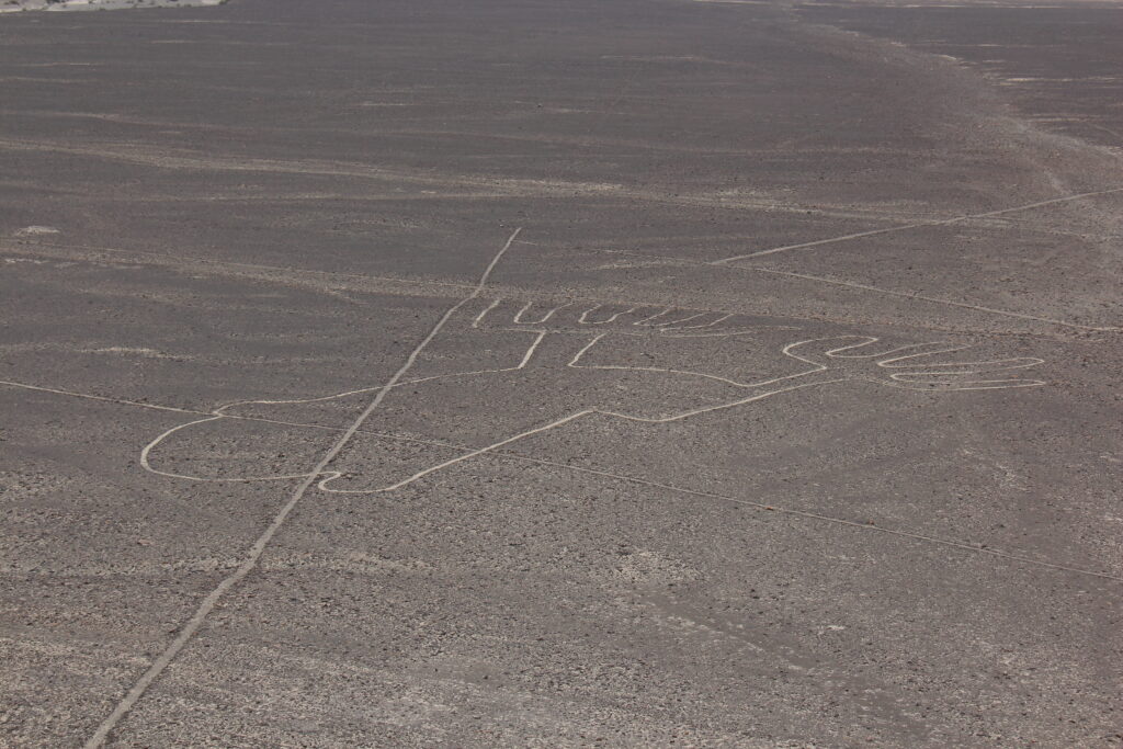
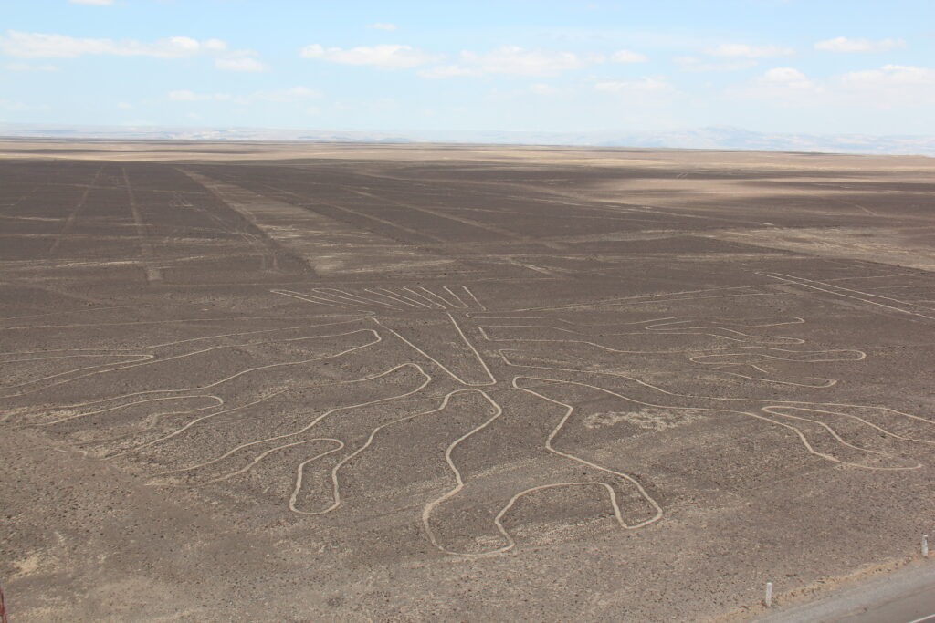
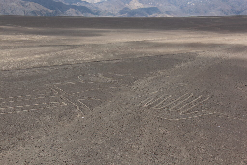
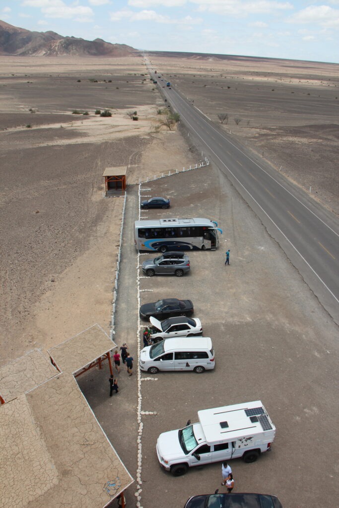
The Nazca Lines are always worth a stop and the new, taller, mirador provided a much better view than the old one that was available back in 2003. There is a great story on the background history of the Nazca Lines and current scientific theory as to why they were carved – read about it here:
Nazca Lines imageNazca Lines imageNazca Lines imageConveniently, the “Nazca Lines” are right beside the Pan American highway. With a new, higher, mirador ( viewpoint ), you get a very good look at three of the many imagesCerro Blanco, reportedly the world’s highest sand dune at over 2,000 meters, just outside NazcaAt times the desert roads around Nazca seemed just endless….…but were very occasionally interspersed with welcome pockets of green
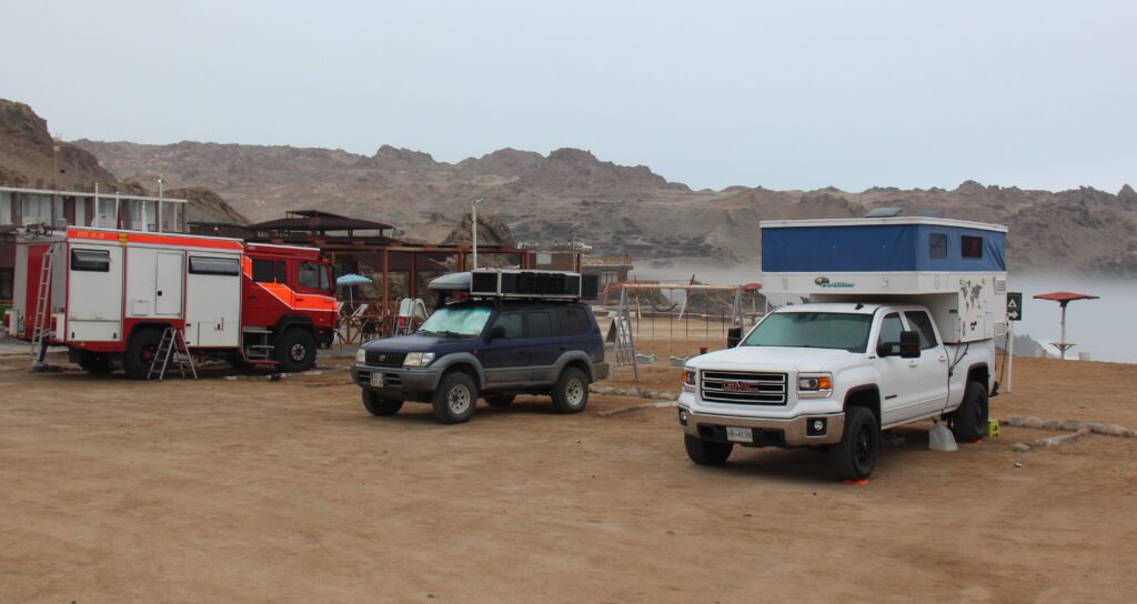
The serendipitous rendezvous’s did not end in Ica. Proving there really is a “gringo trail” of sorts down here, later in the week we pulled into Puerto Inka ( just south of Nazca ) – right beside us was “Christoph” and his family – the very same Germans camped beside us in Quito and who had given us such great tips for the Galápagos.
Camping, Puerto Inka, with a young French couple beside us and Christoph, our German neighbour from Quito, in the converted Swiss fire truckLois, sipping on a cold one, Puerto InkaNo escaping the “garua”, Peru’s infamous coastal fog. Terrible to drive through on the highway ( and we often had to ) but it did add a rather surreal feel to the beach at Puerto InkaTypical coastline between Nazca and Arequipa – at some points we were high above the sea……….at other times, low down. Here we are passing through a sandstorm blowing across the highway on the way to Arequipa
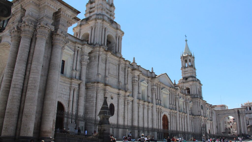
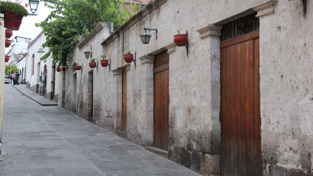
Arequipa is famous for its historic Plaza de Armas, beautiful triple volcano backdrop (often snow-capped) and unique white buildings ( they are constructed from sillar, a white volcanic stone). A far more visitor-friendly city than Lima, it’s easy to get around, smaller and simply (due to its architecture, history and physical backdrop) much prettier. Traffic was not bad, the sun was shining so we took full advantage of both the re-explore the city for a couple of days.
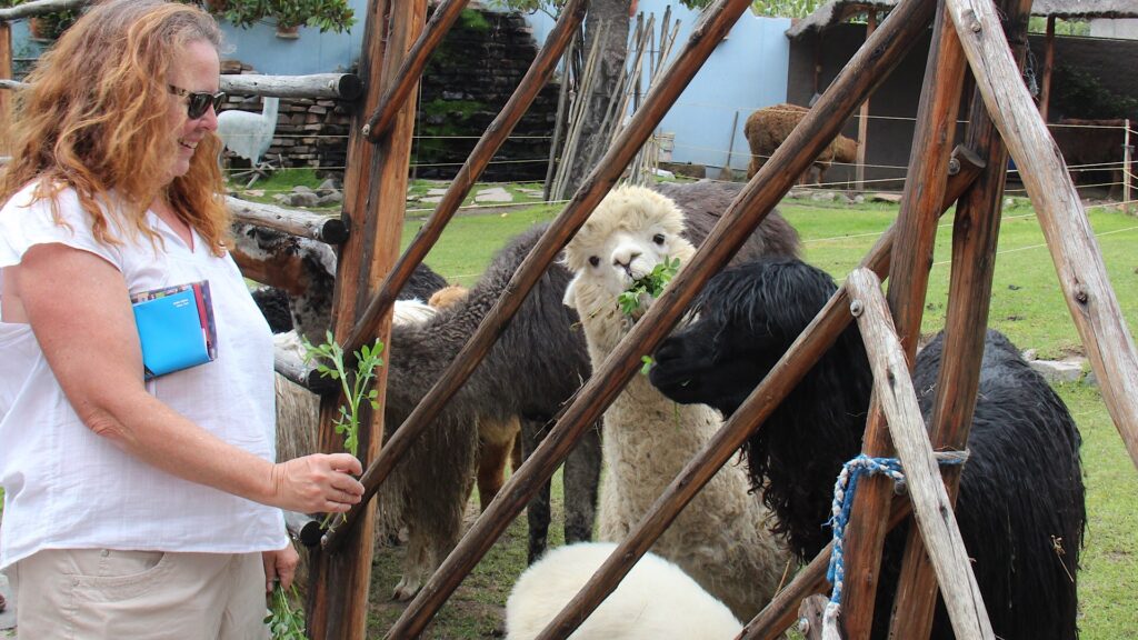
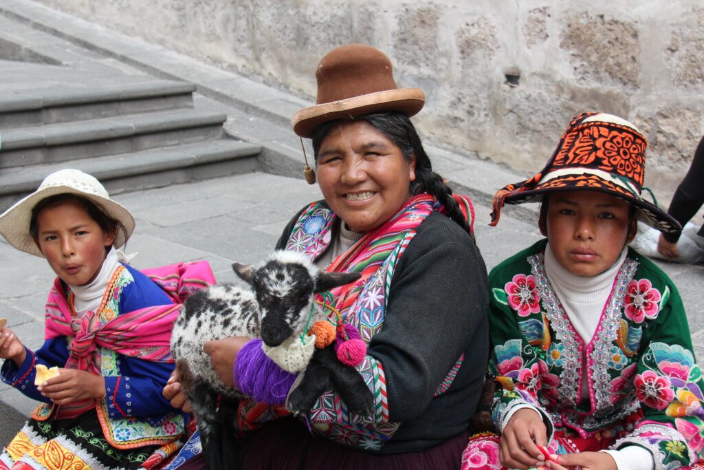
Basilica Cathedral, Plaza de Armas, Arequipa Local street, San Lazaro, ArequipaLois, feeding llamas and alpacas, Mundo Alpaca, ArequipaIndigenous family, Arequipa Plaza de Armas, Arequipa
There was a bit of “strategy” in our route here as well. Coming up from sea level, Arequipa at 2,335 meters made for a perfect graduated ascent on our way to the Colca canyon, Cuzco, Lake Titicaca and Bolivia in the weeks ahead where we will be continuously in the 3,500 ~ 4,500 metre range. Tough to exert oneself up that high – got to get acclimatized !
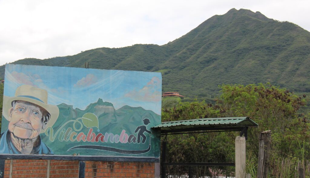
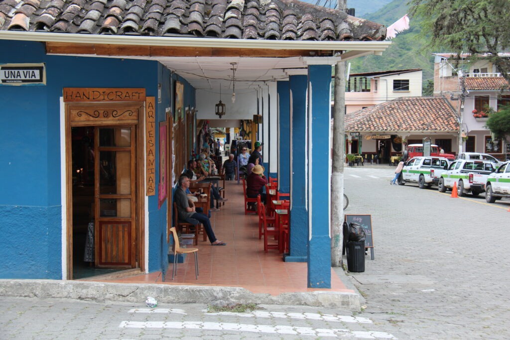
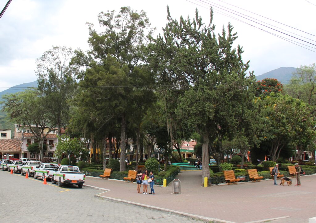
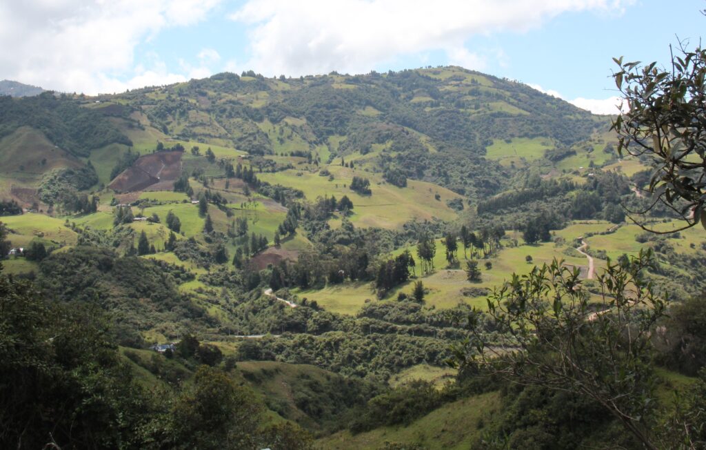
Four hours south of Cuenca and at a considerably lower altitude lies the bucolic Ecuadoran town of Vilcabamba. Like Cuenca, Vilcabamba ( or San Pedro de Vilcabamba to be precise ) is somewhat of a haven for North American retirees. Not so much, it seems, in the “snowbird” sense ( as in those who spend just the northern winters there ) but more the permanent type – folks who have retired and have permanently relocated there. Drawn by Ecuador’s reputation for great weather ( the climate truly is near perfect ), good medical care, an established expat community and overall affordability, Vilcabamba seems to attract those looking for a very slow, substantially rural, and – dare I say it – a somewhat more “granola” vibe. The kind of place where organic food, vegan restaurants, morning yoga routines and composting toilets are the norm.
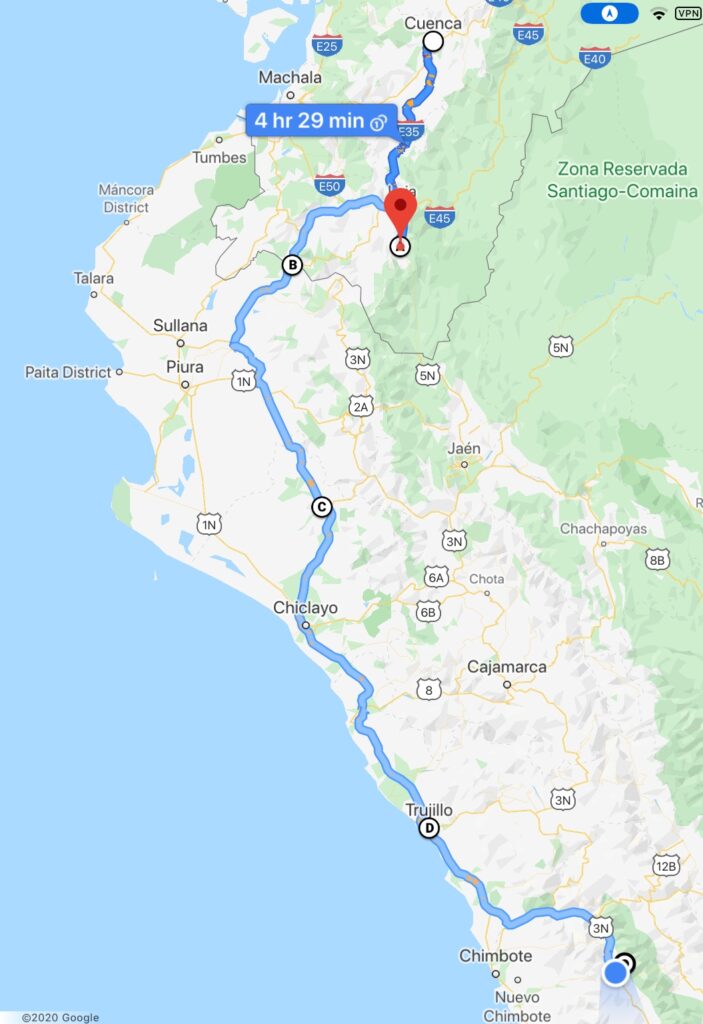
Our route this past week Vilcabamba, in southern Ecuador, is not only a delightful town in a beautiful valley but has a reputation for longevity among its citizens Coffee shops around the main squareVilcabamba, main town square
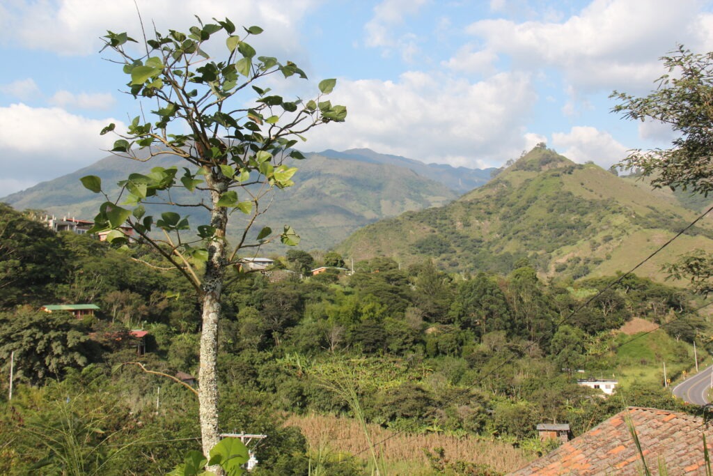
We enjoyed a couple of days there, wandered the small town centre, sampled the food, did a long overdue re-pack/re-org of the vehicle, learned much about Ecuador from Beatrice and Nathan ( our Swiss/American hosts ) and just soaked up the views and mountain air from their delightful hilltop retreat. A most enjoyable way to spend our last serious stop in Ecuador.
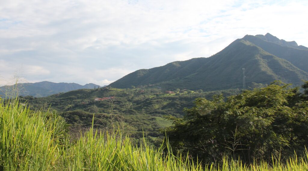
View from our campground, VilcabambaLooking the other way – pretty in every direction
One can drive immediately south of Vilcabamba and eventually cross to Peru however we weren’t looking for more rough and windy roads than necessary and like most overlanders, detoured back north, around Loja, west through Catamayo and on to the border town of Macara – away from the Andes down to lower elevations, better roads and hotter weather as you transit the generally uninspiring north-western interior corner of Peru.
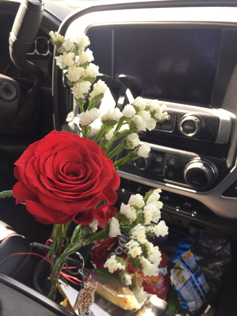
Crossing from Ecuador to Peru was fast, friendly and painless. That said, the customs/border guys can be funny sometimes – they asked about fruit and veggies, checked our fridge then ignored the apples and bananas inside. They asked about plants – we had none except a faded Valentine’s Day red rose for Lois but they insisted that could not enter Peru. Conveniently for us they ignored the extra 80 litres of cheap Ecuadoran gasoline we were ( very obviously ) carrying externally – so we didn’t make an issue over the rose !
The Valentine’s rose that never made it to Peru
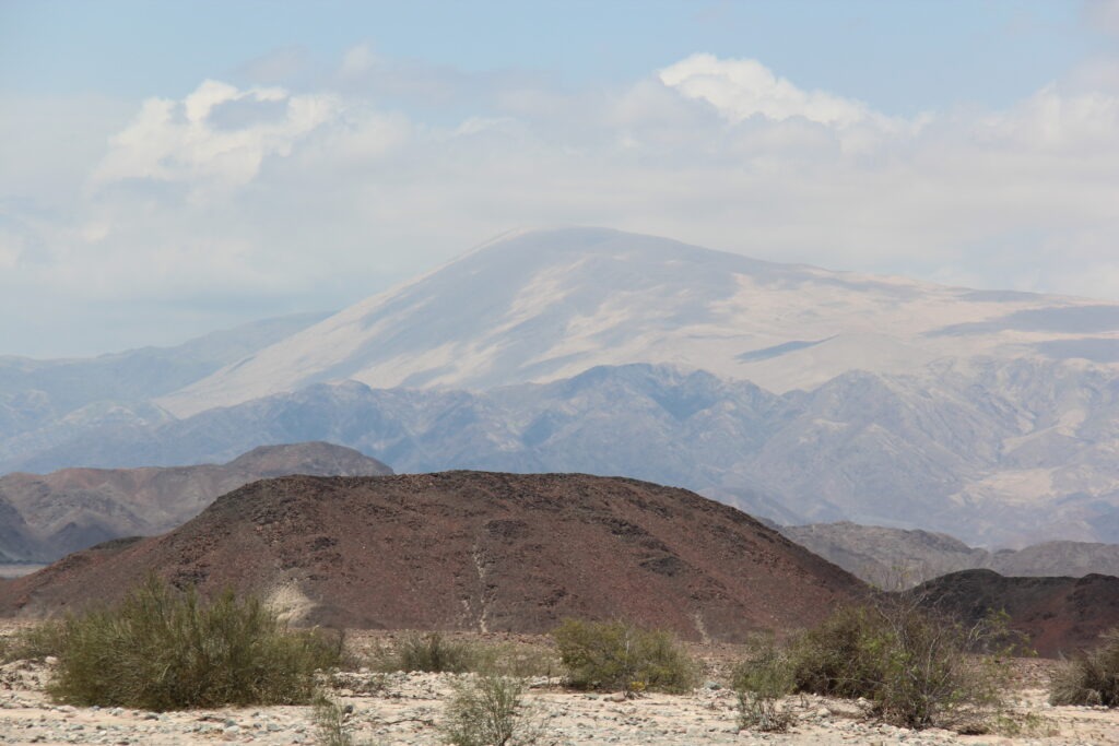
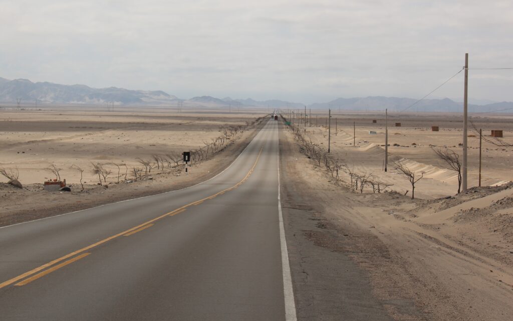
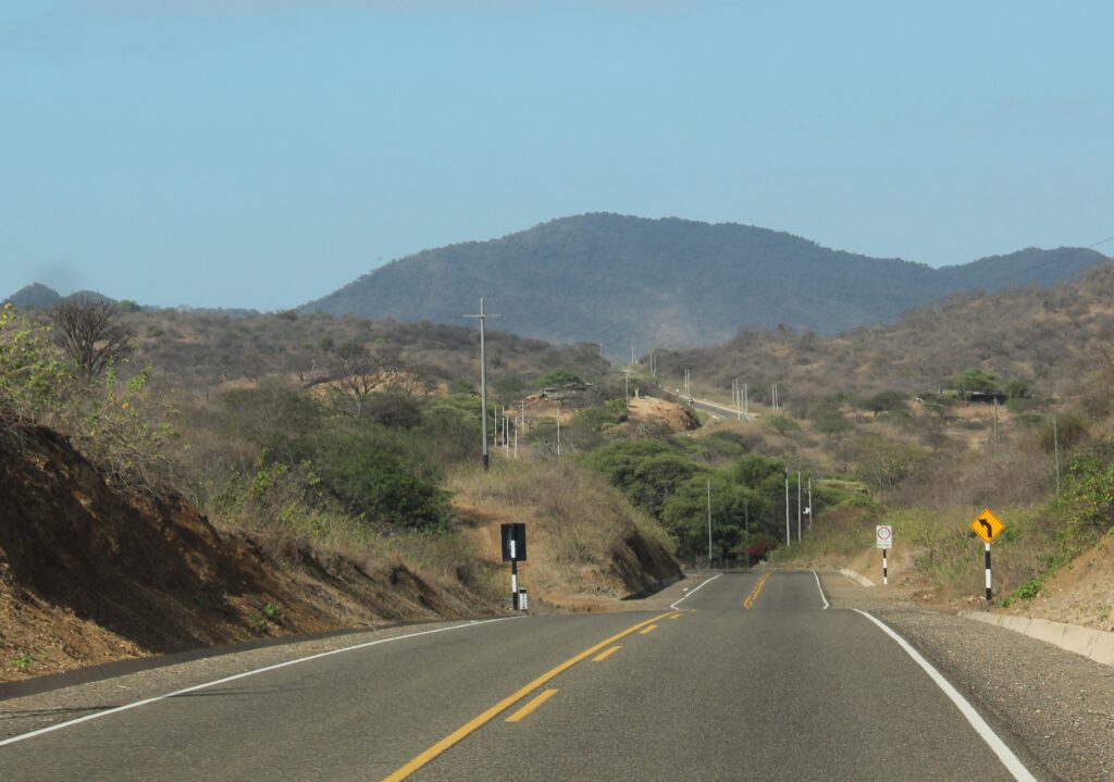
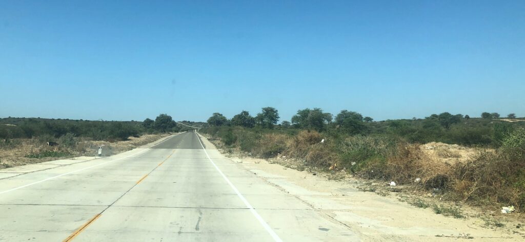
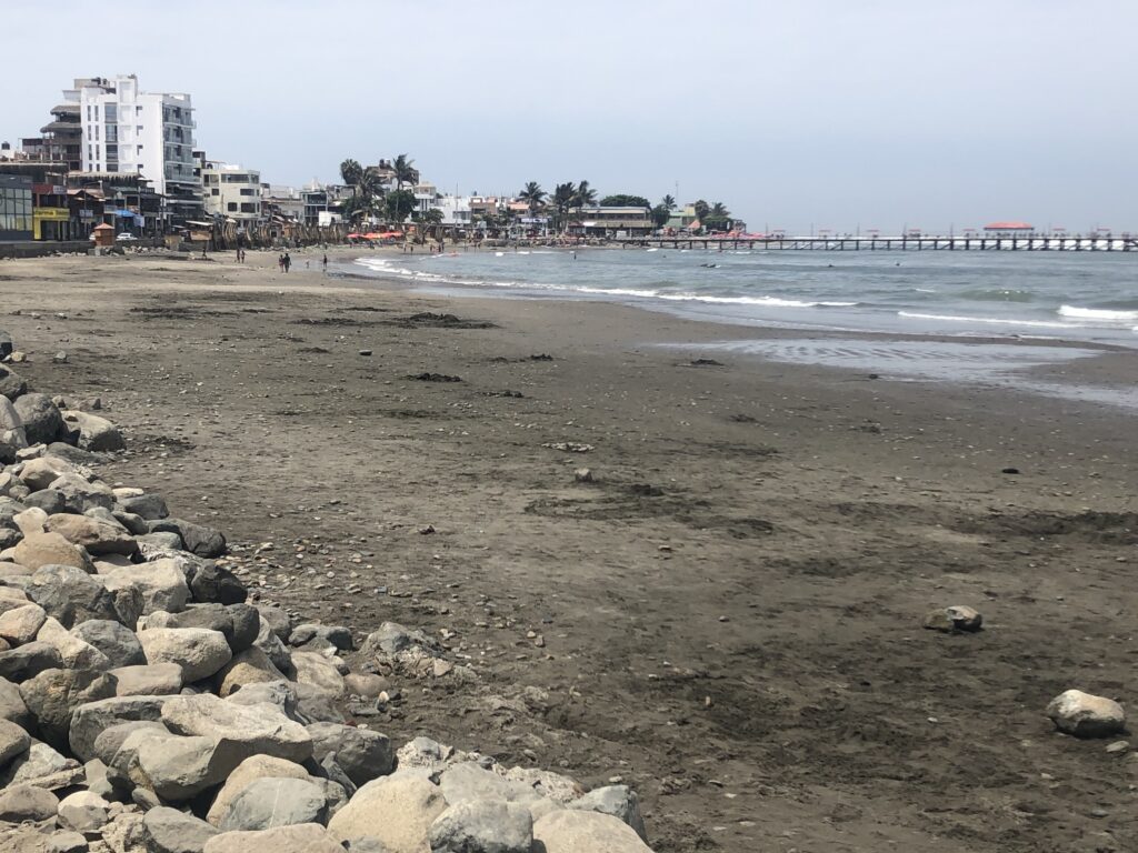
If only inland north-western Peru were just uninspiring. Sadly, it is also very hot, dry, dusty and is extensively littered- there is garbage everywhere. First impressions from the north were not good and it was in some respects fortunate that from the outset we simply planned to transit this area – in fact, due to the absence of notable attractions, dearth of camping opportunities and higher incidences of vehicle robberies and motoring scams, most overlanders do likewise. Peru’s big attractions lie much further south which is where our time would be focused.
First few miles in northern Peru and the landscape is already getting more aridSoon it becomes very flat, much hotter and, sadly, more littered While the roads are good, there is litter everywhere, just by the road, here between Piura and Trujillo. Not a great first impression when you enter from the north
The small beach-side community of Huanchaco, just north of Trujillo was a great place to recover from an exhausting long haul through the northern desert and fortunately offered up a great camping spot right across from the ocean. “Casa Amelia”, another of South America’s “driveway” campgrounds was a relaxing place to rest up, compare notes with other travelers from France and Hungary who were there with us and plan our next moves into Peru’s famed Cordillera Blanca ( white range ). Part of the Andes that run along the spine of South America, many of these mountains offer stunning hikes, turquoise lakes and snow capped peaks – all in the 4,000 metre plus range.
“Casa Amelia” looks cosy from outside…..…but has room for 3 campers inside – comes with a sundeck, gentle sea breezes and evening Pacific sunsets. We shared it with a French couple in a 4Runner and roof top tentSunset, Huanchaco beachJust after sunset, Huanchaco beach, TrujilloWhile the sound of crashing waves and view of evening sunsets was relaxing, it was hard to get excited about the quality of Peruvian beaches in this area – just something about black sand we can’t get used to. They are better up north
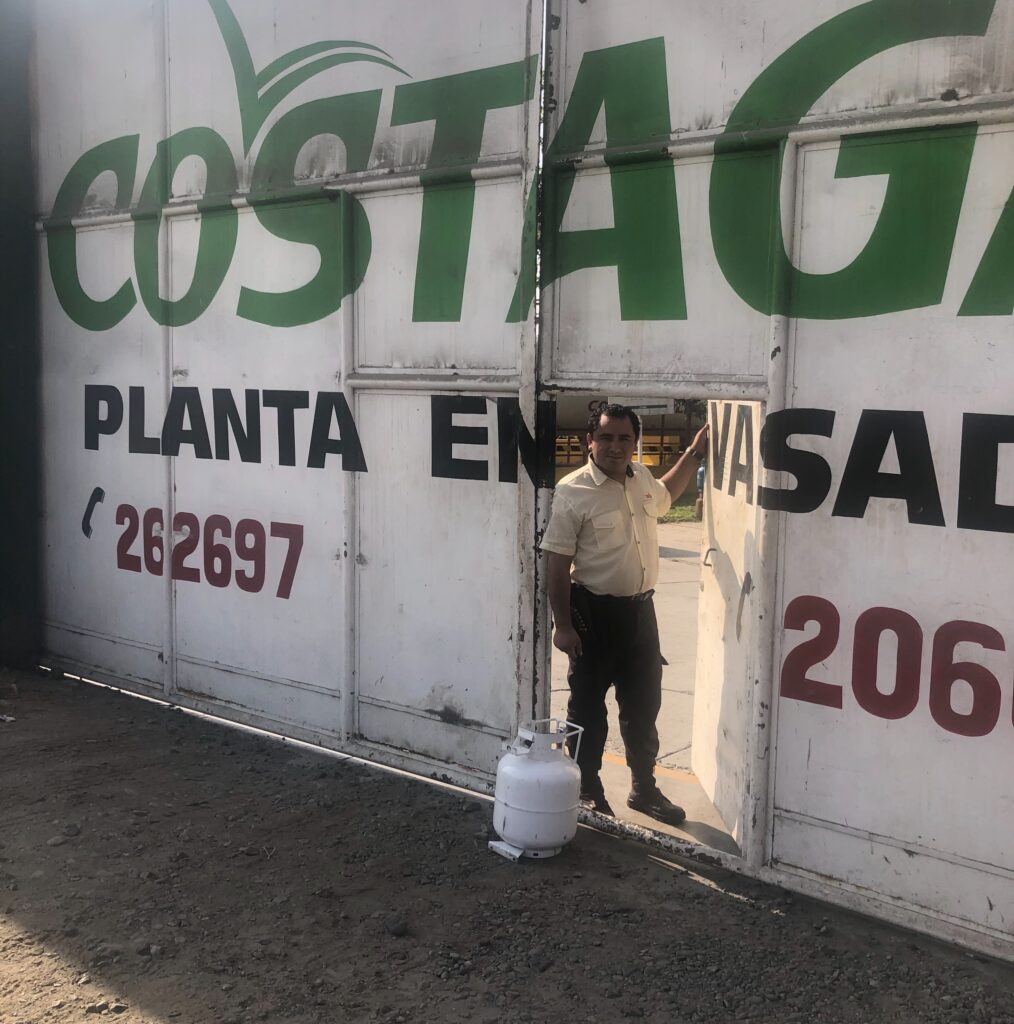
Leaving Huanchaco, the route towards Caraz and Huaraz took us south down the coast then inland. A quick stop at a Costagas outlet in Trujillo allowed us to refill our propane tank – while a seemingly mundane task ( finding propane ), finding propane sellers with a North American adapter is a real challenge across South America. Most overlanders simply top up when they come across one and so did we. Should be good to cook for a few months now !
Happiness is – finding a propane outlet that’ll refill a North American tank !Desert highway leaving Trujillo
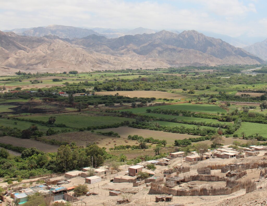
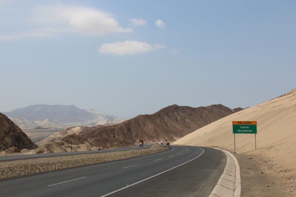
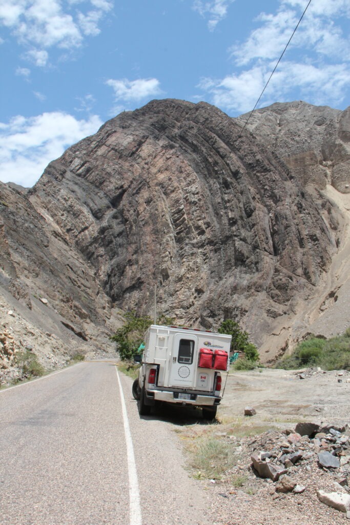
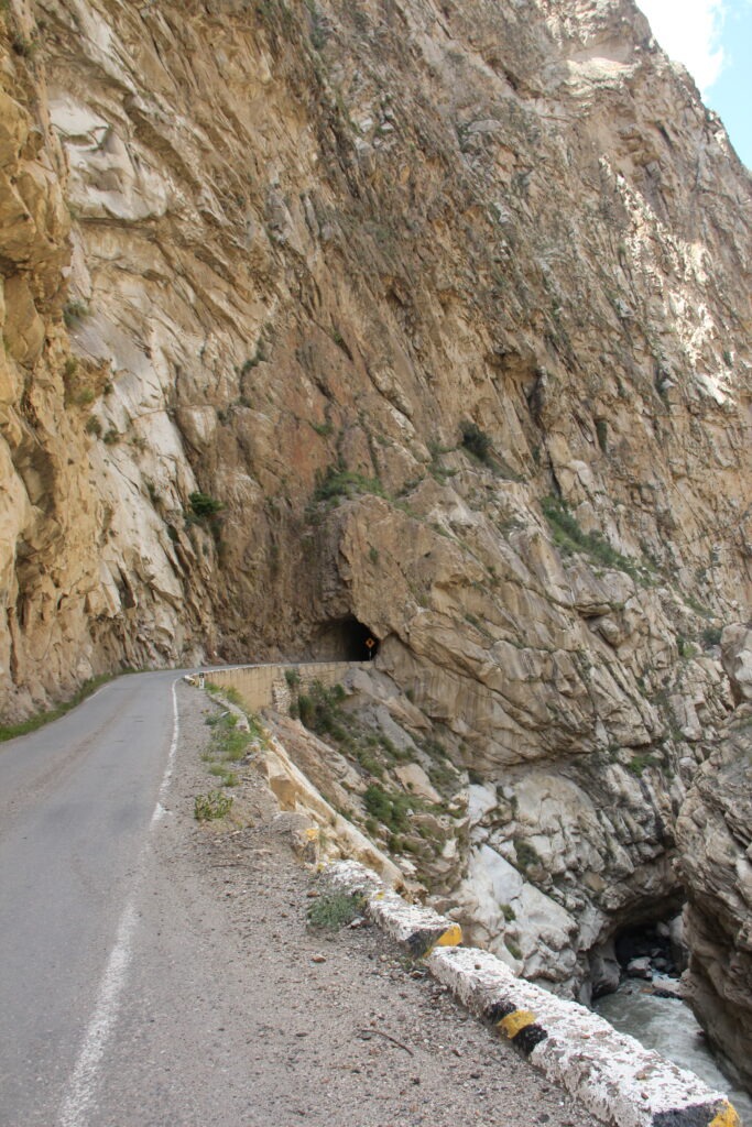
The desert quickly gave way to stoney mountains with narrow single lane roads cut into the rock. More dark tunnels than we could count and always a thrill when you meet a big truck and bus at the end – someone has to back up. Fortunately on our scariest moment ( with just inches of clearance) we were on the cliff wall side, not the canyon side !
Getting into the rocky canyons inland – a most unusual formation seen hereWe exited this tunnel to meet a large truck and bus – they squeezed into the single lane paved part with their outer wheels on the un-paved cliff edge
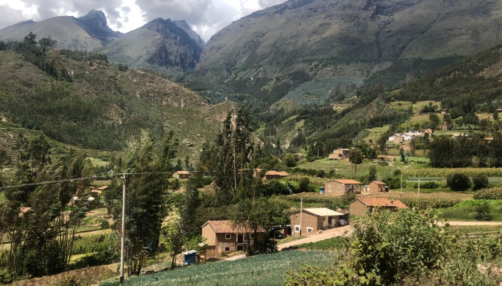
The six hour wild ride to get up into the Peruvian cordillera was, in the end, totally worthwhile – the views once up high are stunning. Many choices of places to stay but most choose Caraz (as we did ) or Huaraz. One thing we did did learn about altitude acclimatization is that simply going up high in advance does not do much for you – one must spend time up there of course in order to mitigate the effects of altitude on the body. The problem with travelling here of course is that you tend to go up and down a lot !
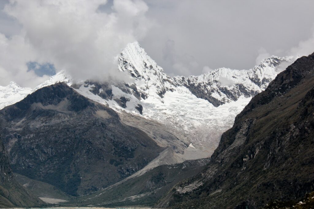
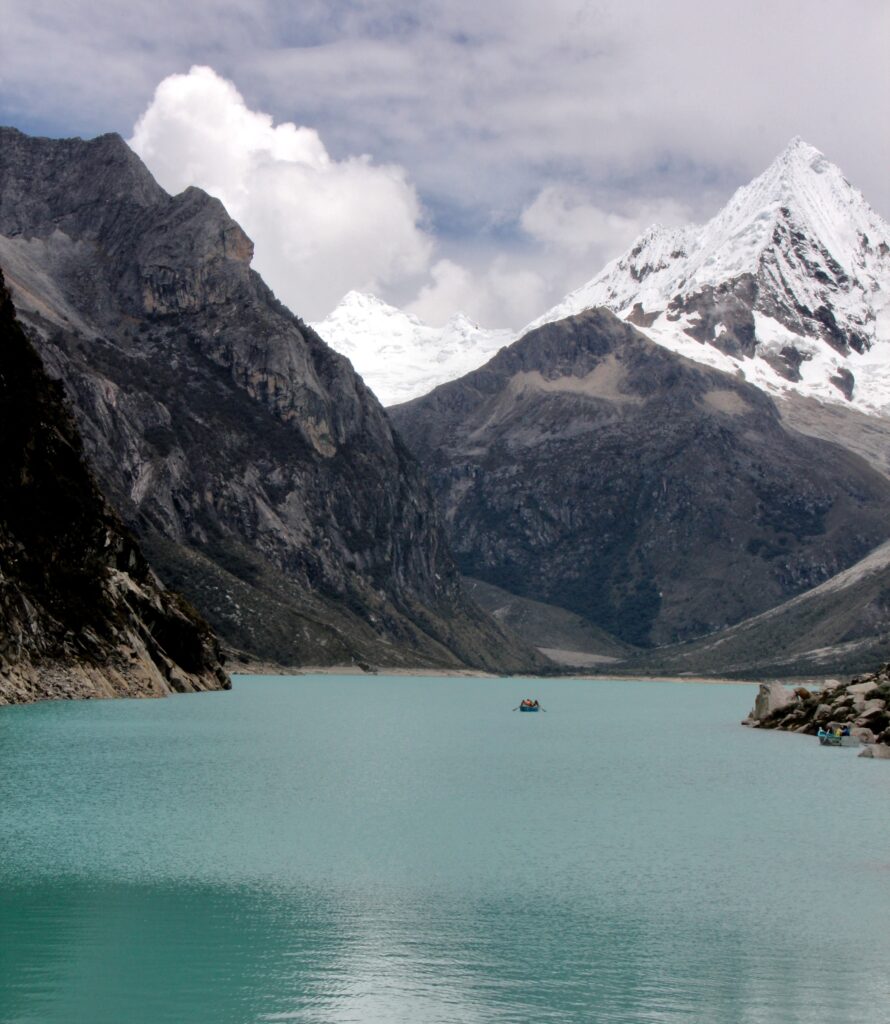
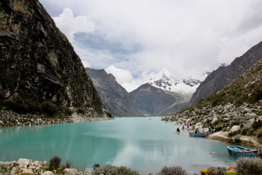
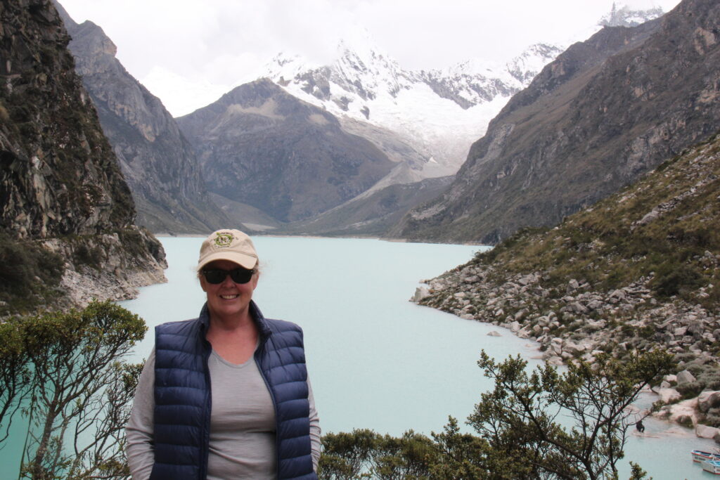
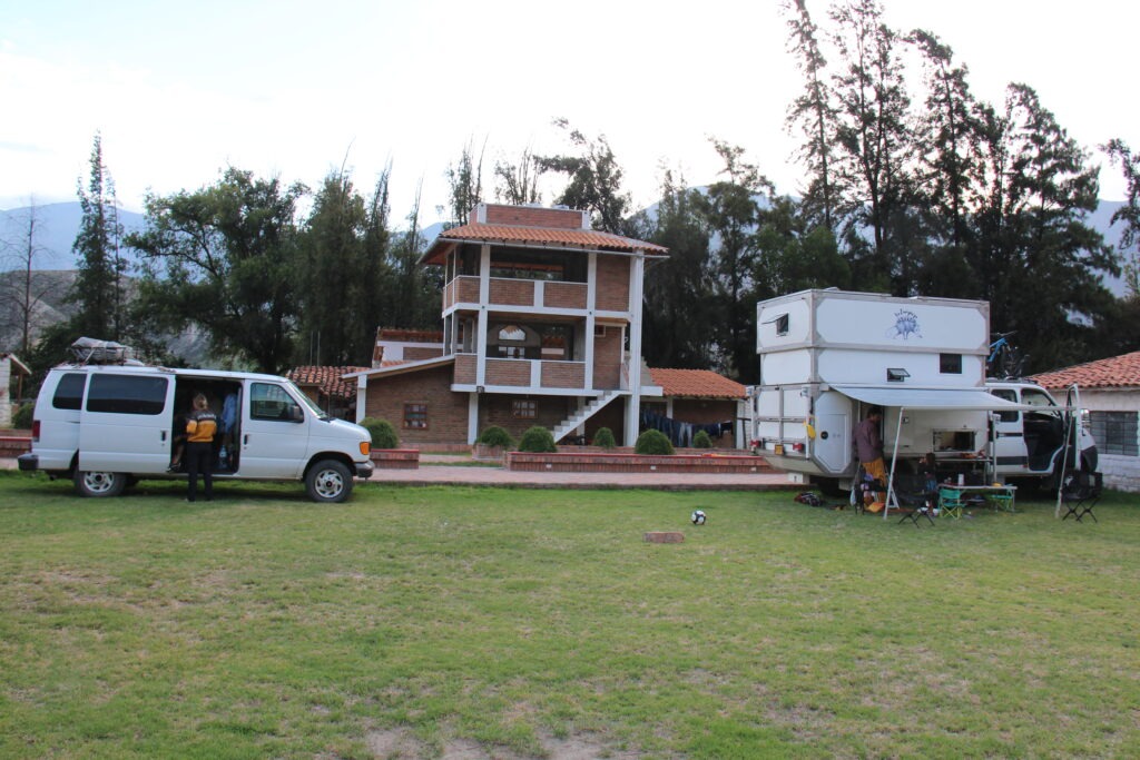
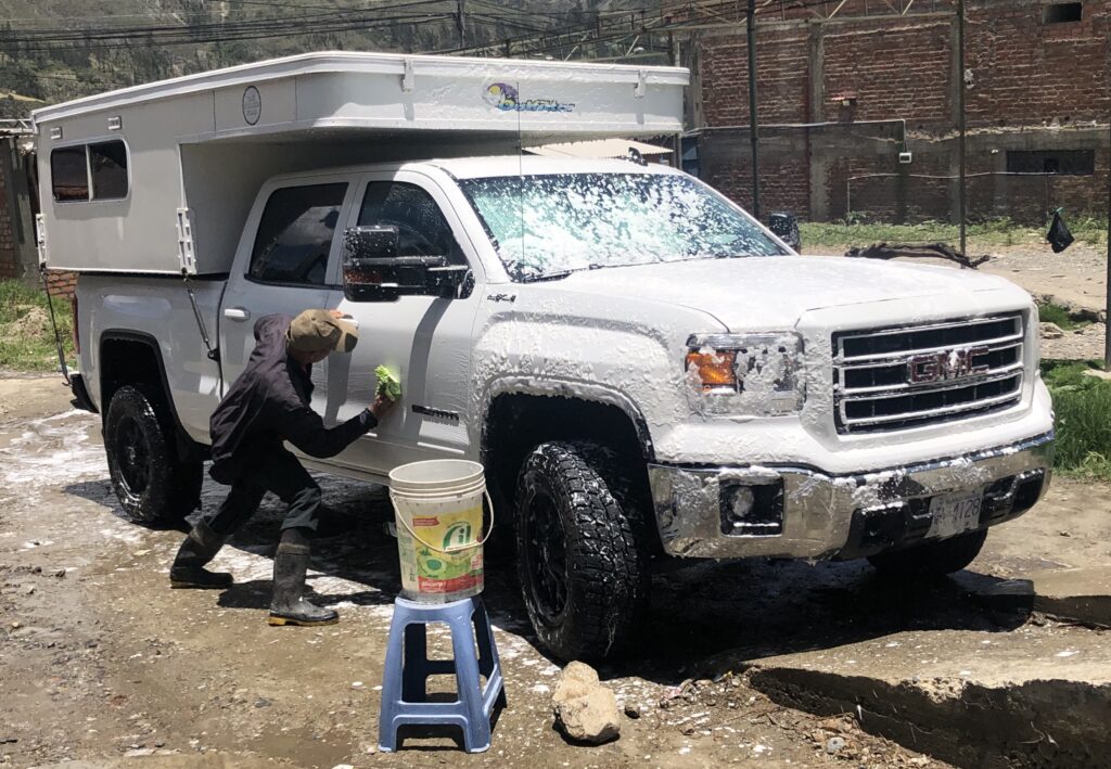
View from the road on the climb to 4300 metres to see Laguna ParonMountain backdrop at Laguna Paron, near CarazThe beauty of Laguna Paron – typical of the many similar high altitude lakes all through the valley around Huaraz Another view to the turquoise waters of Laguna Paron, near Caraz Lois at the Laguna Paron lookoutCamping in Caraz. A Belgian couple in the Ford van and a Canadian/Colombian couple ( with 3 kids ) in a home-built camper camped near us.Long overdue truck wash at a roadside “lavaderia” in Huaraz – the man took great pride in his work….…even polished the rims and tires – a very nice job and totally unexpected !Authentic Peruvian camping ! Here with 3 friendly llamas in the overlander area of the Real Huascaran Hotel, Huaraz. Reception guy said they were llamas, the security guy insisted they were alpacas !
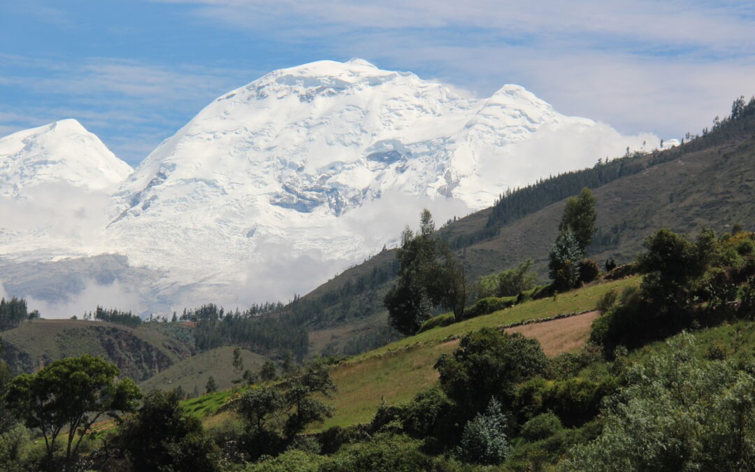
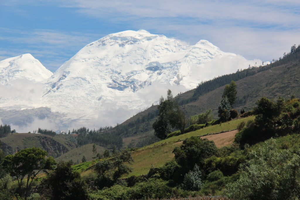
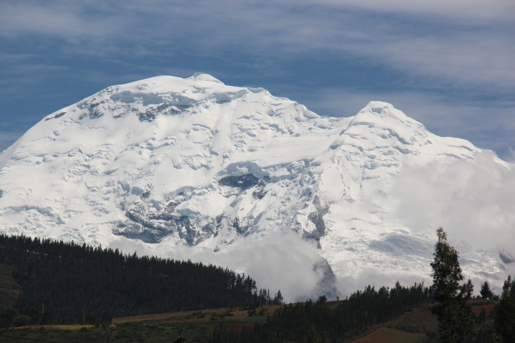
Our week closed out in the town of Huaraz right in the middle of the beautiful Cordillera Blanca. Travelling through the Huascaran valley had provided some amazing views of the best of Peru’s immense Andean mountains; in this area alone 30 peaks tower above 6,000 metres ( 19,685 feet ), the highest of which, Mt Huascaran, at 22,204 feet, was clearly visible on a beautiful sunny day. Simply stunning !
Stunning view of Peru’s highest mountain, Mt Huascaran, towering 6,768 meters ASL, just outside HuarazClose up of Mt Huascaran
We regularly refer to a Facebook group called the Pan American Travellers Association – with over 24,000 members it’s a bit of a bible for anyone doing the PanAmericana and full of all kinds of useful information and travel updates. Check it out here:
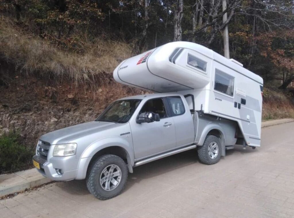
Sadly, I’m finishing this post with a picture from their Facebook site that was shared recently – it kind of hit home since we have a truck camper. A Dutch couple with what appears to be a camper that’s a bit too big, or truck that’s a bit too small ( or both ) after hitting a Mexican “tope” ( speedbump ) – hard. They are all over Latin America – lots here in Peru, too. Not a fun thing to happen on an overland trip far from home.
Having seen this we’ll be a little more vigilant on the speedbumps going forward !
What happens when the truck is too small, the camper too big, and you hit a speed bump hard – sad outcome for some Dutch overlanders in Mexico
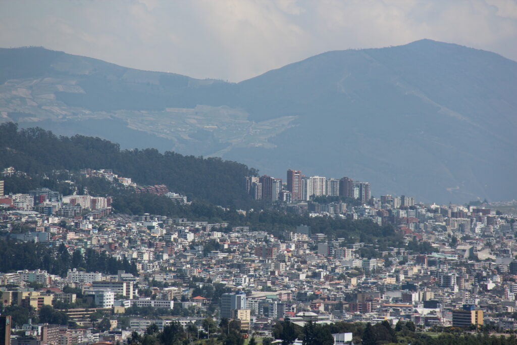
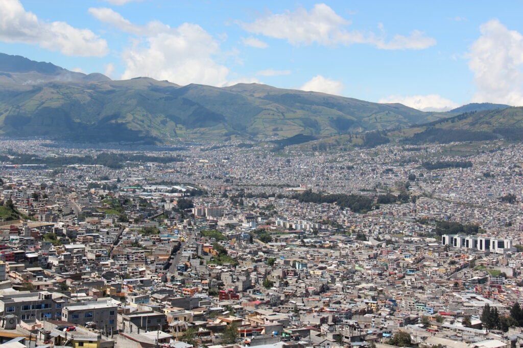
It’s probably fair to say from a sightseeing perspective that the bar was high after a week in the Galapagos. Suddenly, we thought, the rest of Ecuador was looking a lot less interesting. Banish that thought ! While we would not be seeing more stunning underwater marine life, quirky birds or Jurassic-like reptiles, the route south from Quito to Cuenca ( sometimes referred to as “Volcano Alley” ) in fact had much to offer.
Route through EcuadorView of the sprawling city of Quito, EcuadorMore of Quito
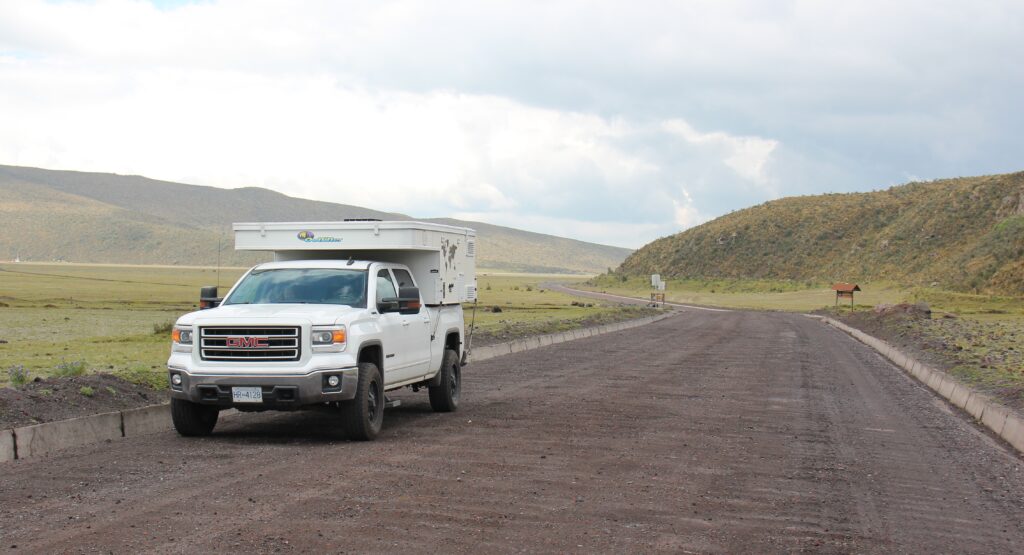
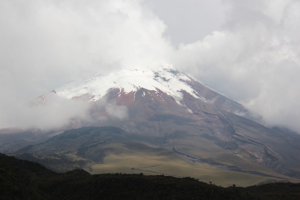
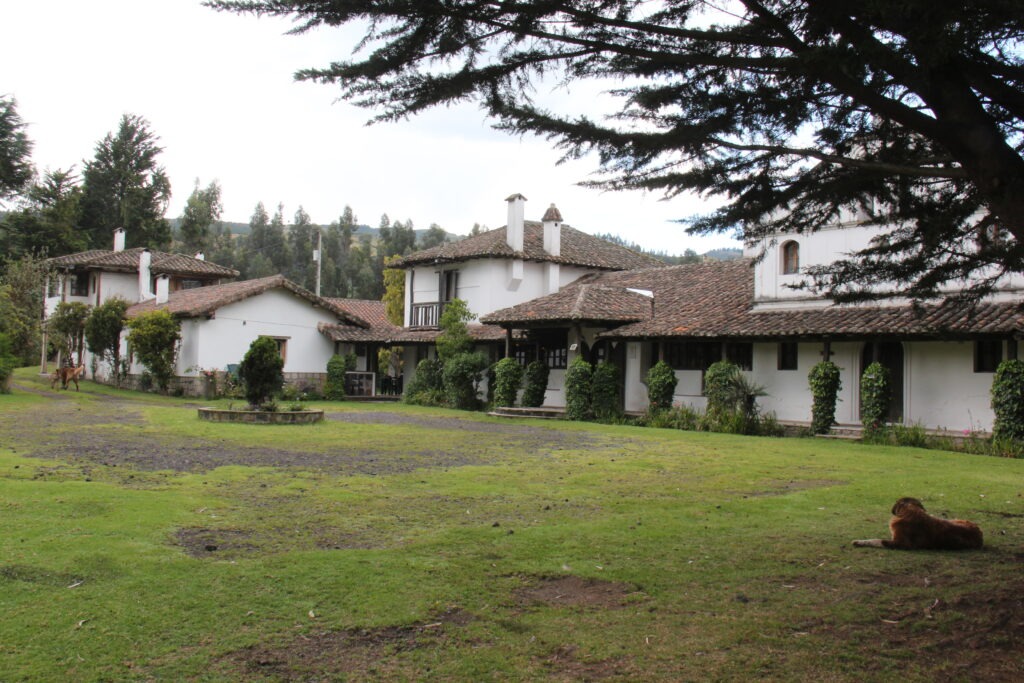
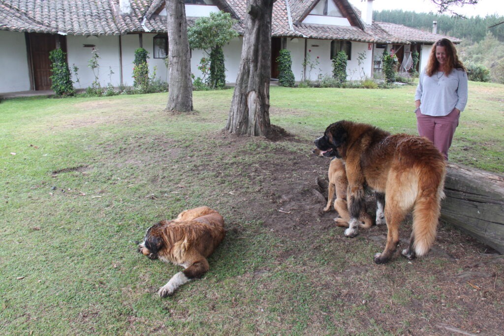
Ecuador’s second highest mountain, Cotopaxi, was our first port of call and is one of the worlds top 10 most active volcanoes. We had hoped to see it in all its glory and do a short hike, however the weather was just not cooperative. Cotopaxi was, for the most part, shyly hiding behind clouds though we did get a brief view of its distinctive snow capped peak. Drizzling rain on the drive down put paid to any hiking notions. Making up for some of the disappointment at Cotopaxi was the excellent evening spent with Adrian and his Swiss/Ecuadoran family at their delightful Cotopaxi hacienda/farm campground, Cuello de Luna. A favorite of hiking groups, this secluded spot was one of our favorites so far. The alpacas and gentle St. Bernard’s just added to the appeal.
Road to Cotopaxi volcano – washboarded all the wayView of Cotopaxi, Ecuador’s second highest mountainCuello De Luna, hacienda/campground, near CotopaxiLois with Adrian’s St. Bernards
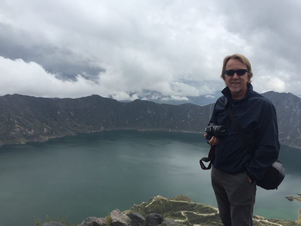
On our route south to Banos, Adrian had recommended a visit to Quilotoa Crater Lake, a 2 hour detour for us but ultimately well worth the drive – at almost 13,000 feet just walking from the car park to the viewpoint was exhausting, however the view at the end made the exertion worthwhile
Ecuador countryside, en route to Quilatoa Crater Lake. We got to just under 13,000 feet on the way here ( not quite 4,000 metres ). Good practice acclimatizing for even higher passes in Peru !Quilotoa Crater Lake
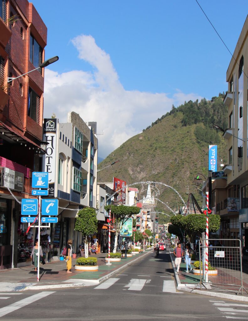
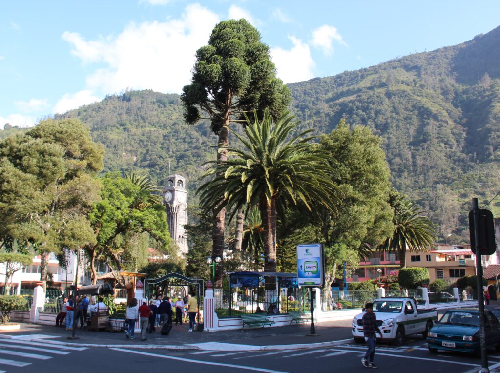
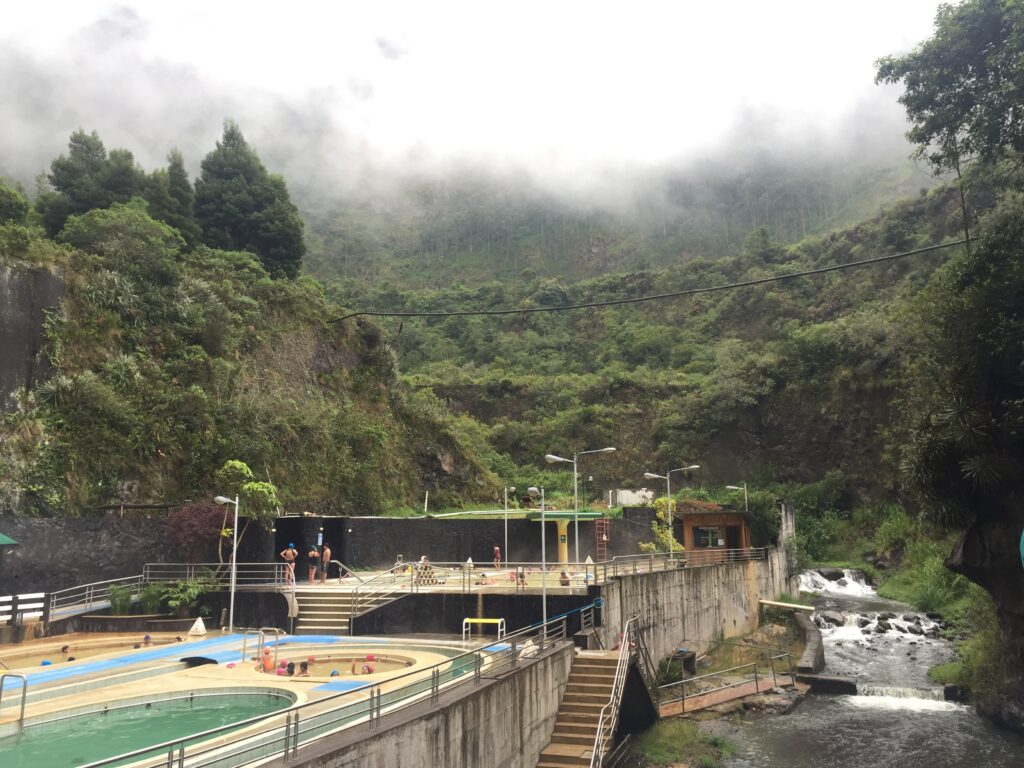
One of Ecuador’s favorites, the thermal spa town of Banos has been a standard overlander stopover for years. Fond memories of an earlier visit fresh in our minds we made straight for the thermal pools which were very relaxing. Banos also offers an array of exciting outdoor activities for those so inclined ( it was all about the pools for us ) along with great restaurants and coffee shops where we whiled away our time.
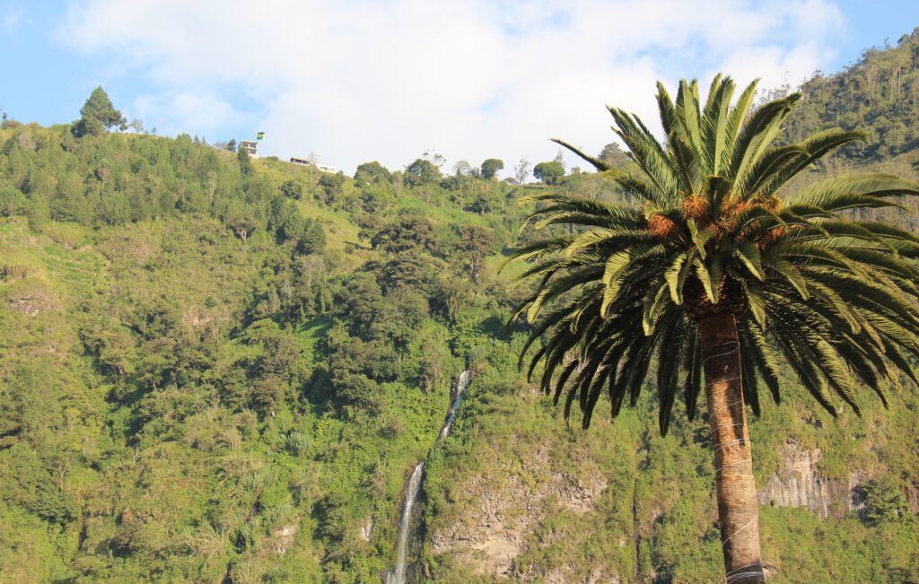
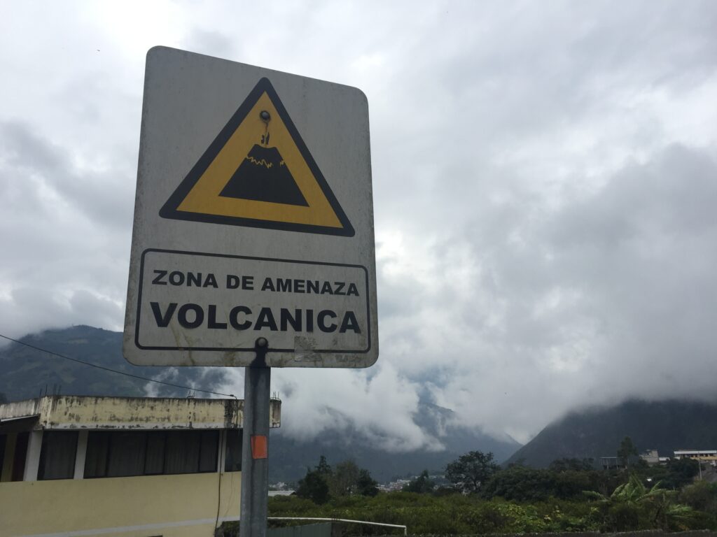
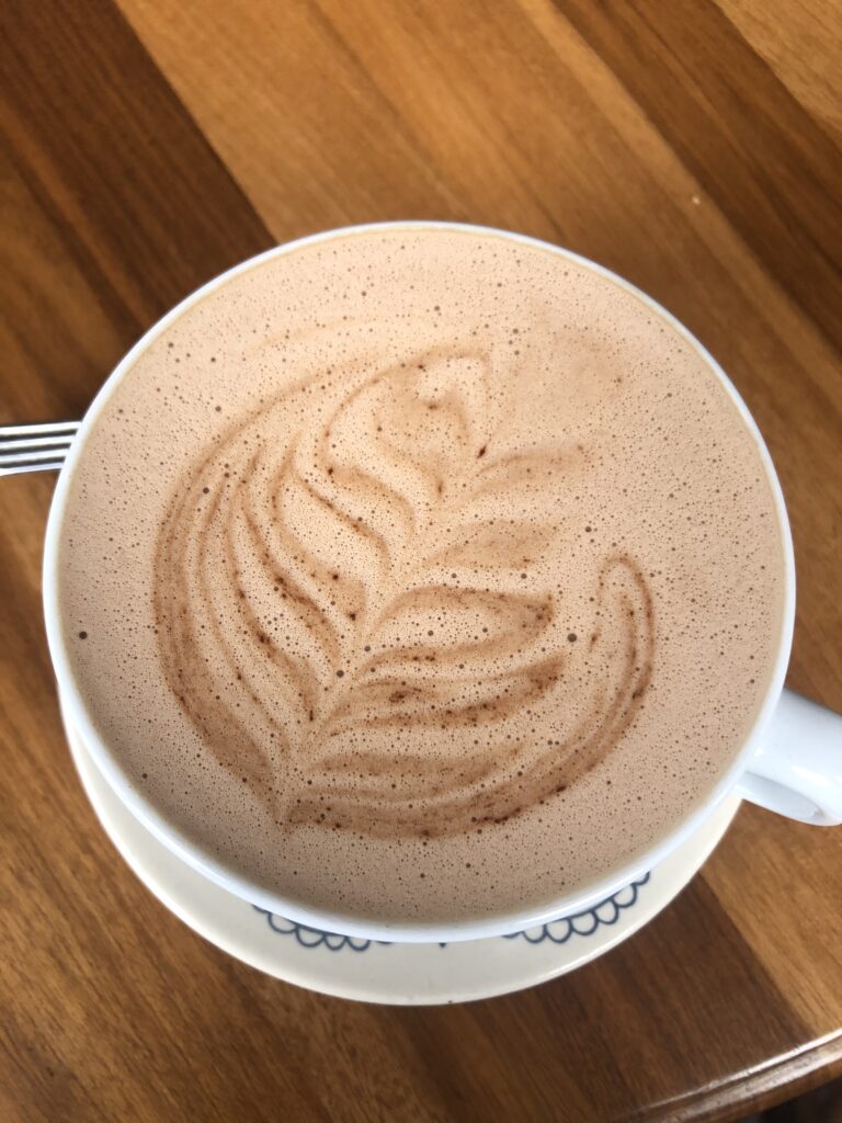
Banos downtownBanos downtownBanos waterfallEl Salado thermal pools, BanosA reminder that all of Banos is in a volcanic threat zone – Volcano Tungurahua towers over the townBest hot chocolate in a long time – Banos !
Seems to have been a week for meeting motor-cycling overlanders and Banos was no exception. After meeting two Americans, Thomas and Shane, at Quilotoa who were en route to Ushuaia like us, we spent time in Banos sharing information with Tina, a solo German, and 4 Czech riders who were also going south. The Czechs had also ridden down the west coast of Africa and up its east coast so were full of useful tips for us ( should our plans for Africa pan out down the road ). We did experience some rain in Banos and while we’ve ( well, at least I’ve ) often thought a two-wheeled overland adventure would be fun, watching them pitch tents in the rain, pack away wet equipment for a long day’s ride and then ride off getting drenched again, I must admit that some of the allure has worn off.
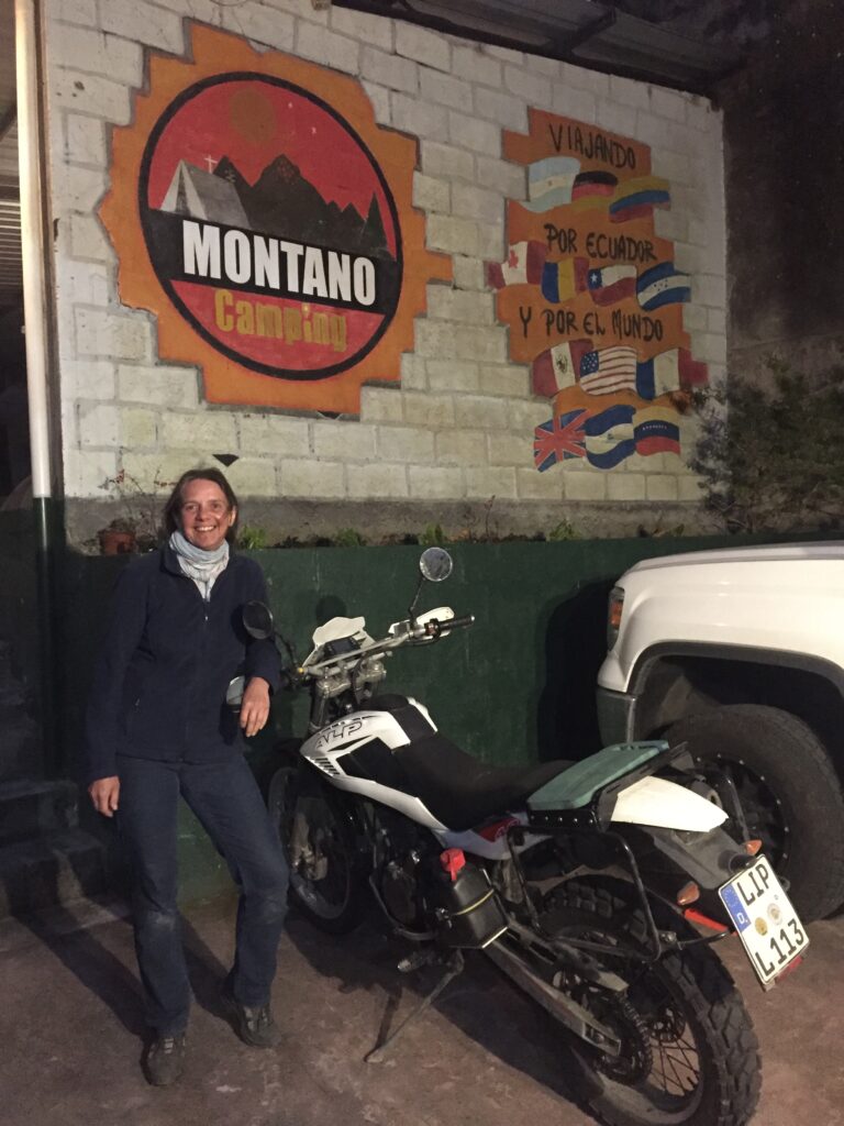
Tina, a solo female biker from Germany doing parts of the PanAmerican Highway, here in Banos. She was riding a 350cc bike, small by the standards of most overland bikers we have met. The Czech’s all had 1200’s !Zbynek, one of 4 Czech motorcyclists that pulled into Montano campground where we stayed in Banos. He had previously ridden up and down Africa on a motorcycle and gave us great tips should we make it there – one day we hope
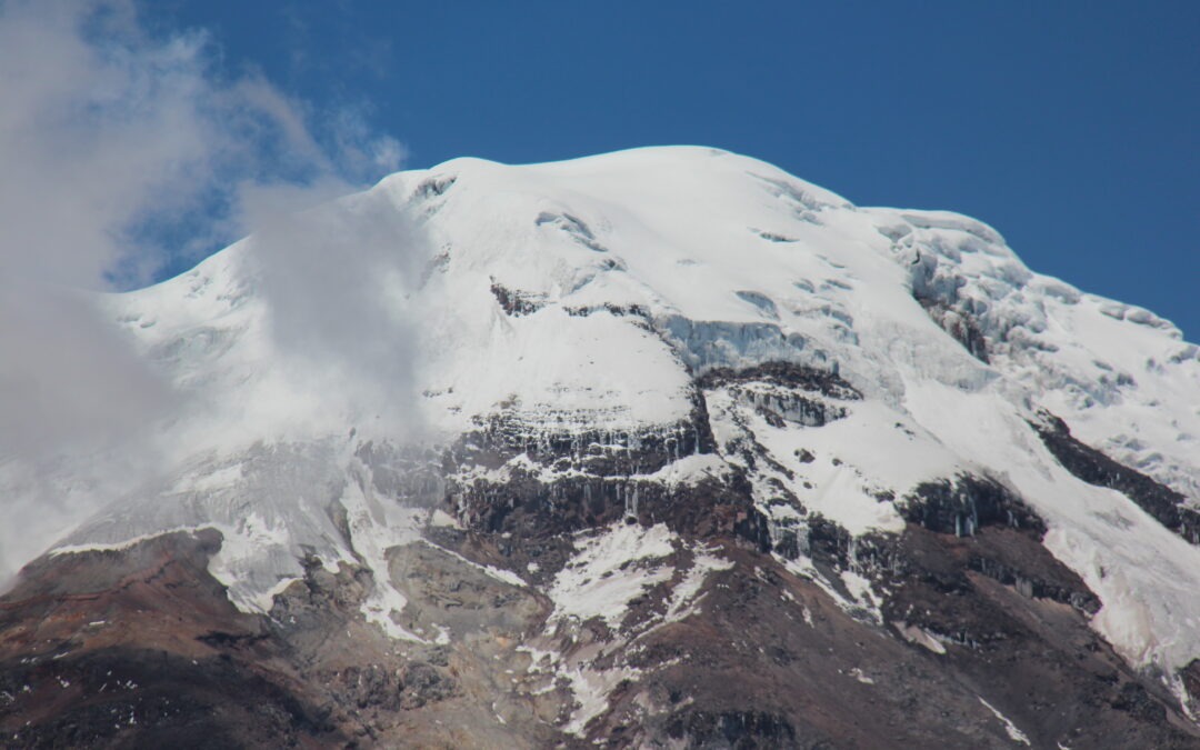
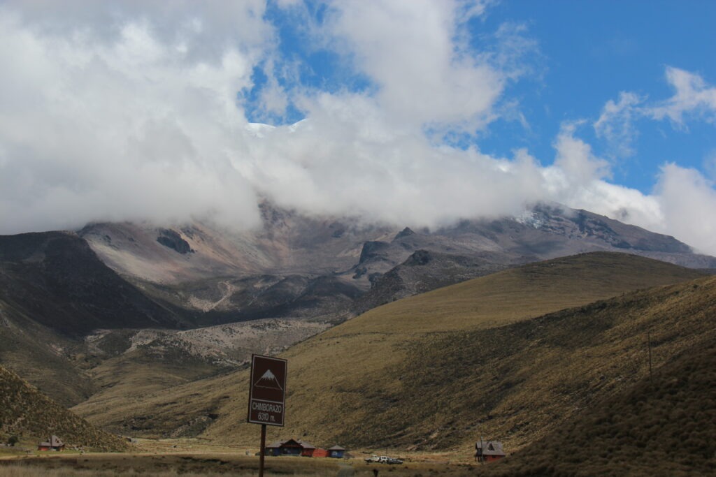
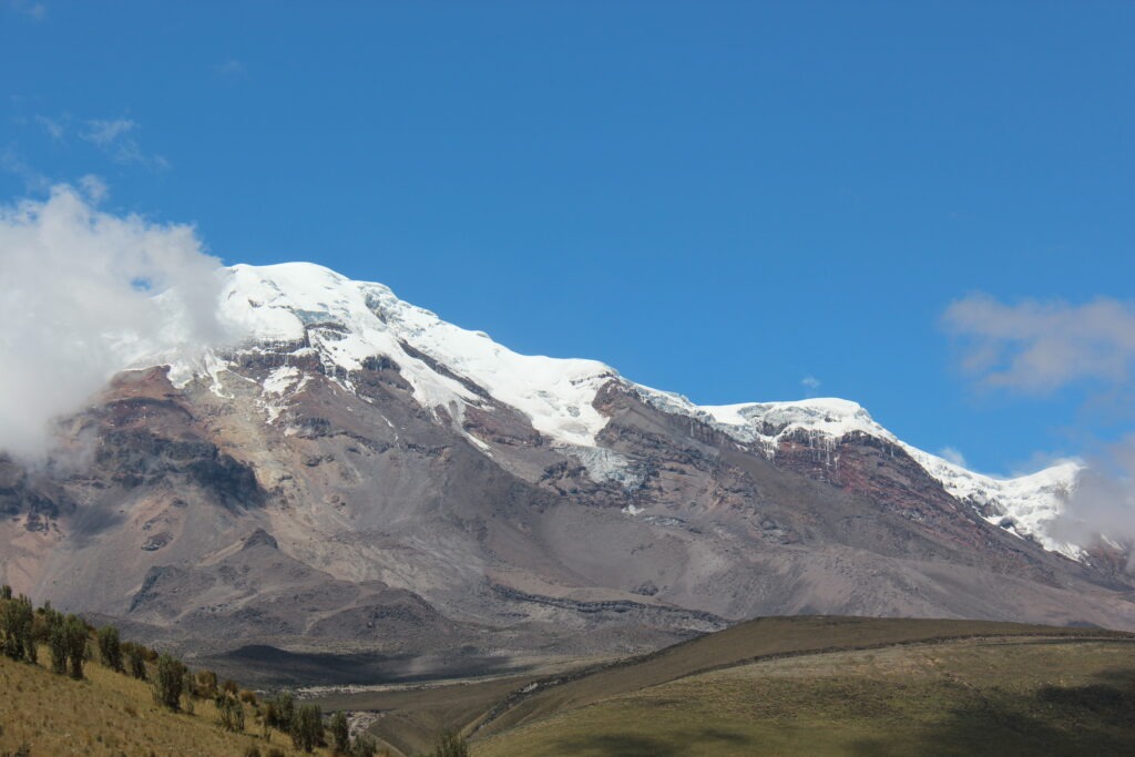
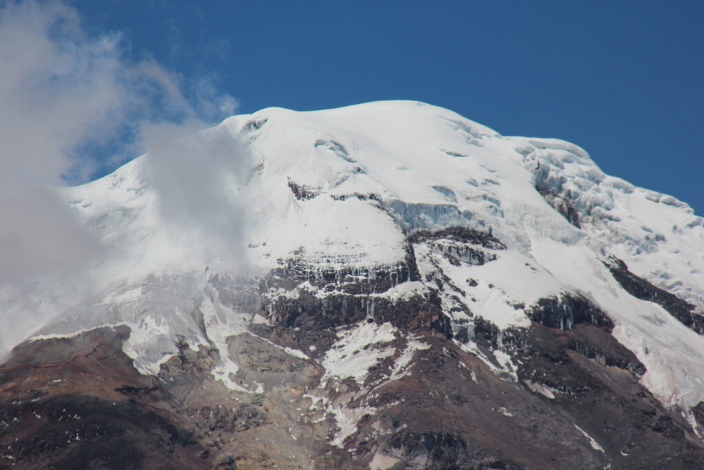
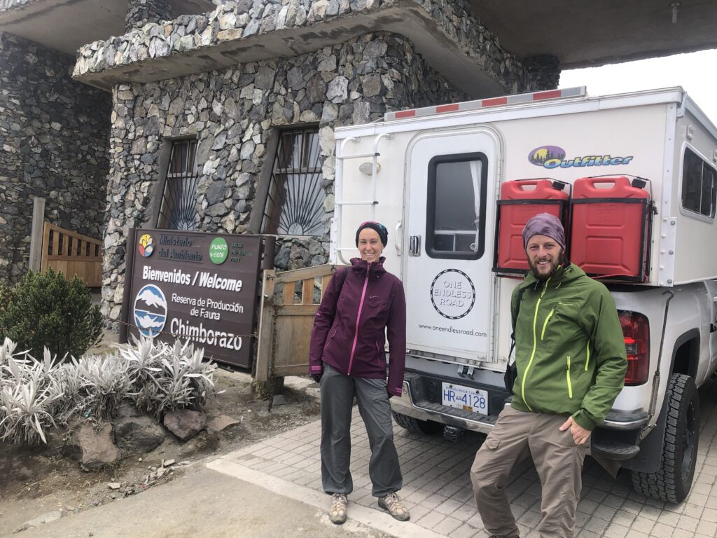
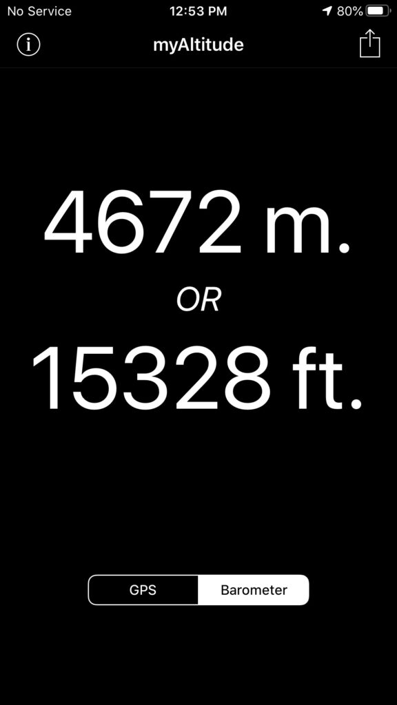
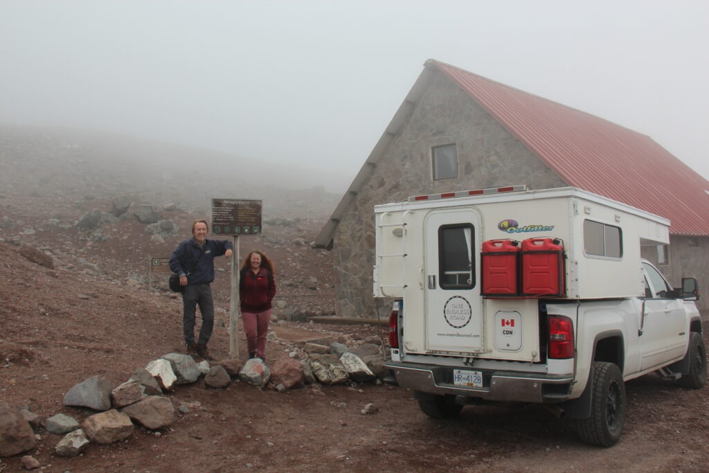
Chimborazo is Ecuador’s highest peak – higher, in fact, than any other peak north of it in all of the Americas. Getting to it ( up close ) involves a drive on good ( if somewhat pot-holed ) roads to just over 4,000 metres ( 13,200 feet ) and then an extremely wash-boarded dirt track to a climbers refuge at 4,700 metres ( 15,400 feet ). While the challenge of the drive and then just walking around in such low oxygenated air was an experience, the best views were actually down much lower. We had been warned Chimborazo can be temperamental ( for viewing ) up close. A few hardier types were trying to hike at that elevation but it was very slow going.
Our first view of Chimborazo from a lower elevation – substantially obscured…..then the clouds parted….revealing this – the peak at 6,310 metres. Stunning !
Spending time at the high elevations not only brought us some great sights and challenging drives but helped prepare us for Peru and Bolivia where we will be experiencing several mountain passes in the high 4,000 metre range and one even nudging 5,000 metres. No altitude sickness for either of us but definitely felt a bit wobbly when we got up too quickly or exerted ourselves too much. The best views of Chimborazo were actually nearer to the entrance of the park but we still we wanted to tackle the last 8 kilometres – all rough, badly washboarded road, just to see how we felt at that elevation if nothing else.
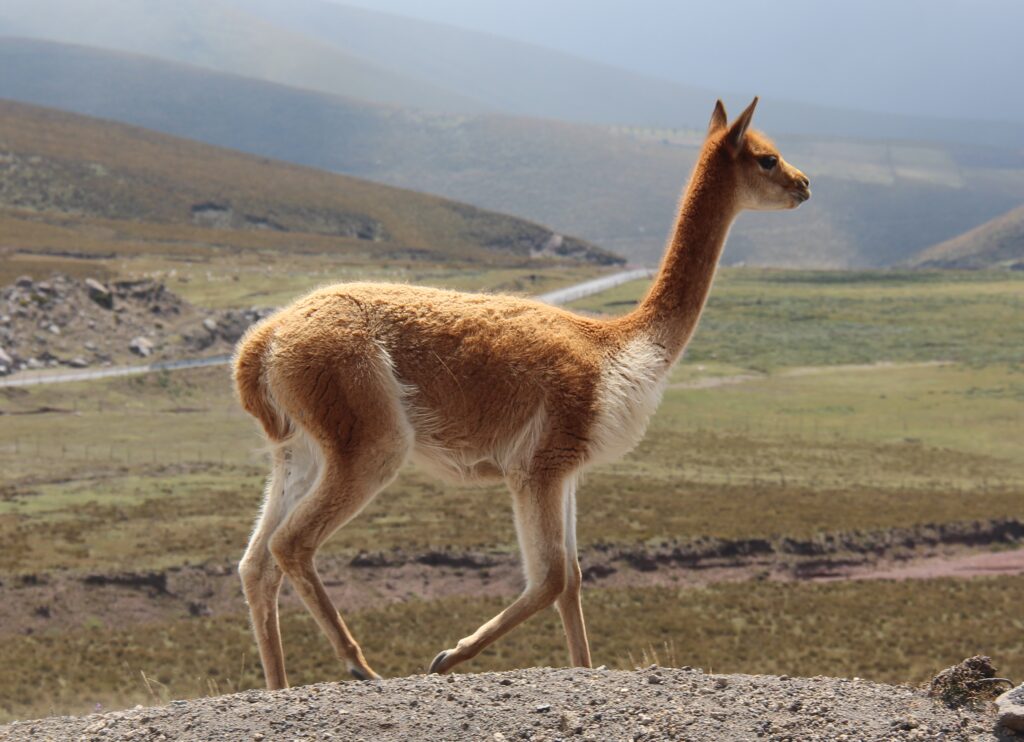
We passed this French couple trying to walk the last 10 kms to the entrance to Chimborazo National Park. No room in the truck but they happily accepted dinette seats in the camperAs high as we could go on the road the Chimborazo and at this height breathing was tough for us – and the truck ! Normally aspirated gasoline engines lose 3% of their power for every 1,000ft gain in altitude. At over 15,000 feet our big V8 only had the power of a 4 cylinderOne of the many vicuña we saw on the way to ChimborazoMore vicuña Here we finally made it to the refugio ( refuge hut ) !
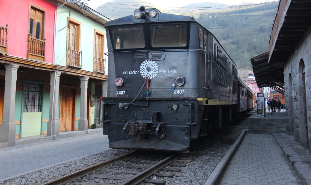
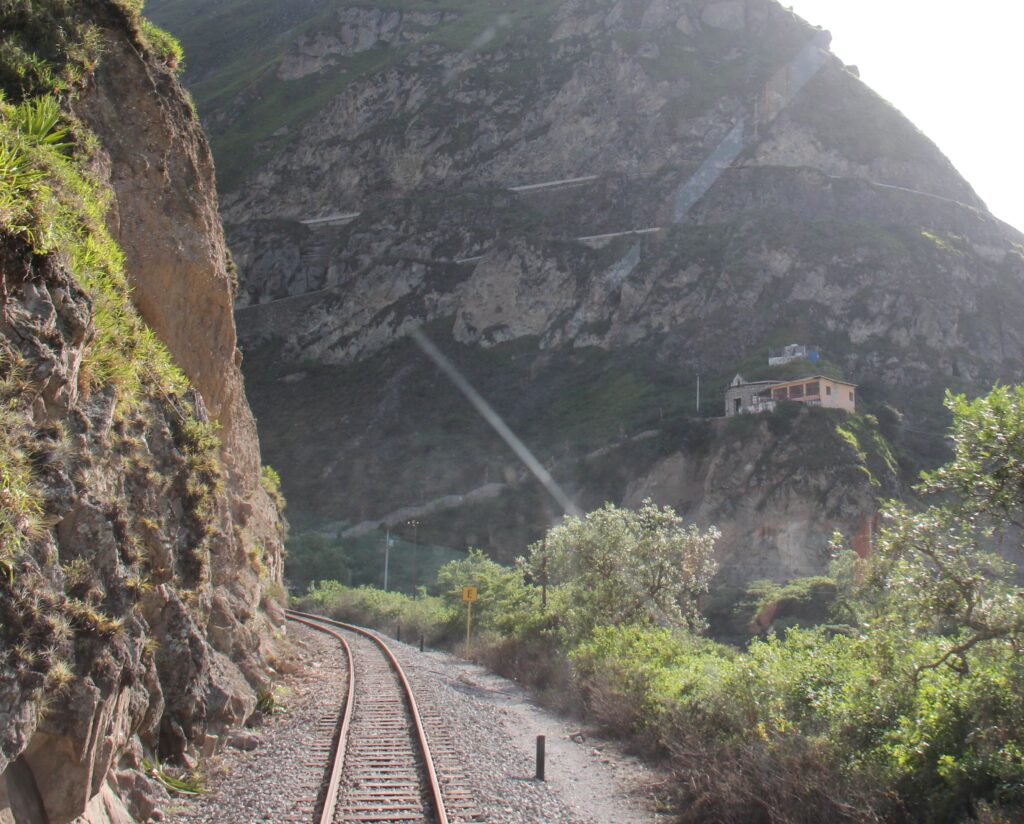
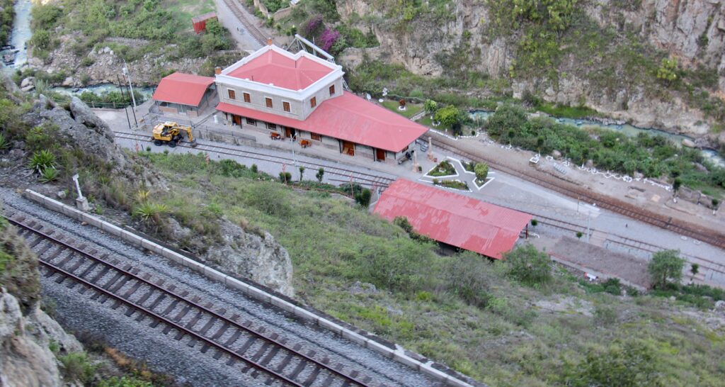
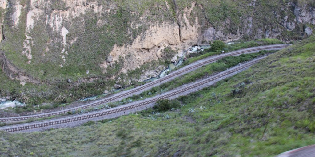
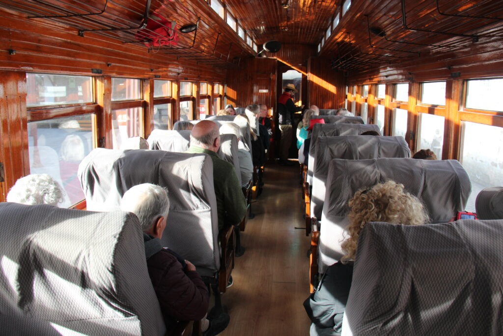
Just a two hour drive south of Chimborazo is the town of Alausi, famous as the jumping off point for the “Nariz Del Diablo” or Devils Nose train, to Sibambe. Completing the track in 1902 was an astonishing feat of engineering that allowed the train to navigate very steep descents/ascents and almost perpendicular walls in the high Andes via a unique zigzag system. The ride was truly spectacular, considered Ecuador’s finest, and is popular with train buffs the world over. There is a great story on the history of the train here:
The Nariz Del Diablo train waiting at Alausi stationShot through the rear window of the Nariz Del Diablo train – just visible above the houses are two levels of the zig-zagging track that hug the steep sides of the mountainThe destination station of Sibambe, shot from two track levels aboveTypical track “tiering” on this very steep incline/declineThe carriages are old classics and restored beautifully
Ecuador’s 3rd largest city, and arguably its most beautiful would be our last stop for the week. Cuenca, set at 2500 metres, has a year round mild climate that makes it not just popular with Ecuadoran’s but also a haven for North American retirees ( as well as others ) – the number of foreign residents is obvious after just a short walk around this very pretty riverside city, or a stop in any coffee shop.
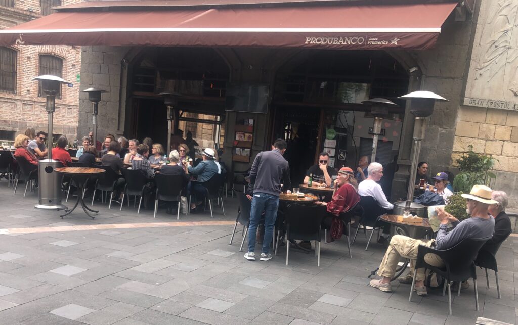
There really are a ton of expats living in Cuenca. A cafe we visited during our stay and barely a local in sight
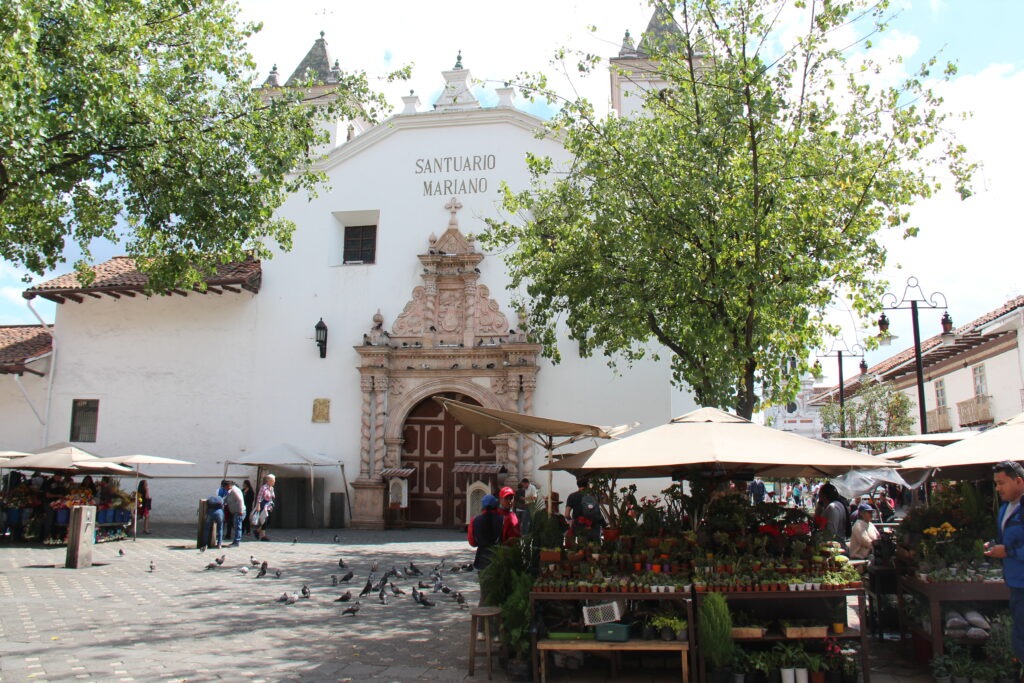
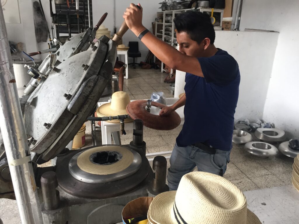
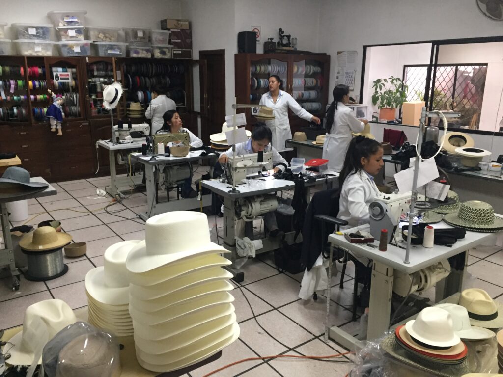
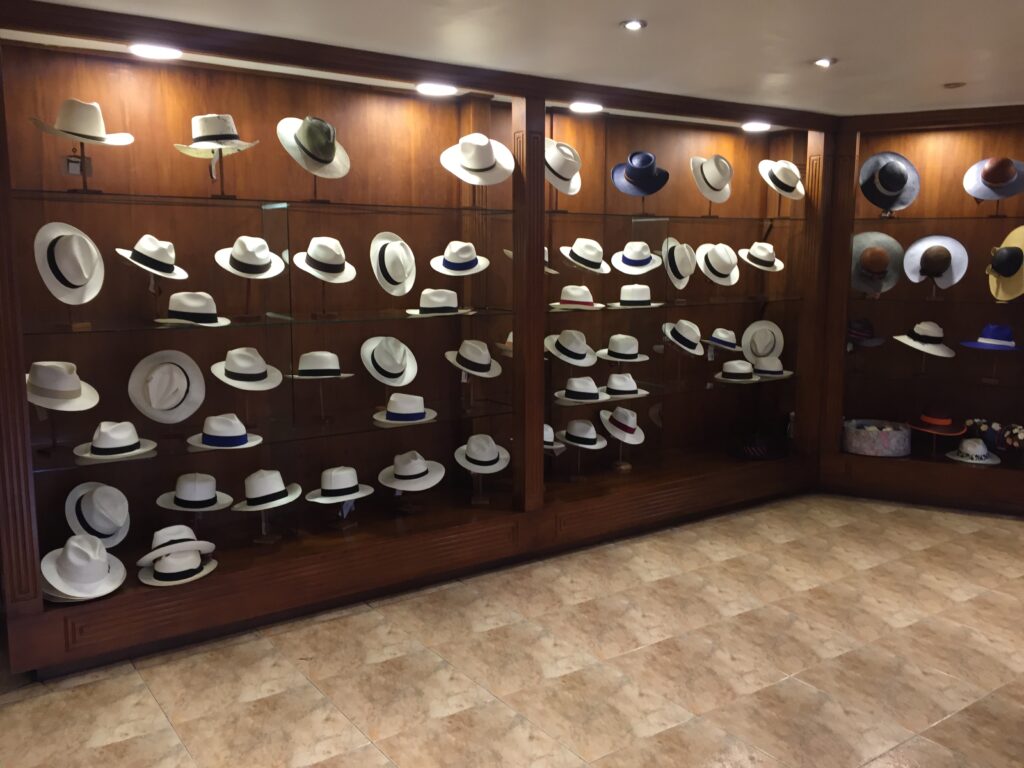
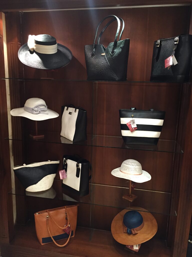
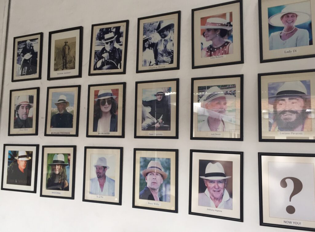
Cuenca is famed the world over for production of original “Panama” hats. While that may seem a tad oxymoronic, as one of our regular readers ( Charlie Harris ) pointed out when I did an earlier post from Panama, “Panama” hats are not actually from Panama. There’s an interesting background to that story and we got it when we visited the Homero Ortega factory right here in Cuenca. A fascinating tour, and some beautiful product to choose from – yes, we bought one ! More detail on the origins and history of the Panama hat can be found here:
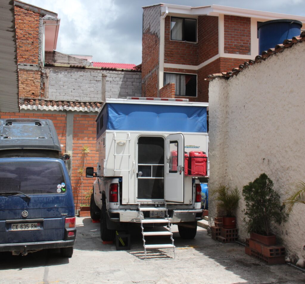
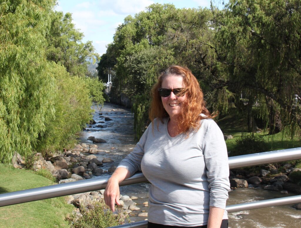
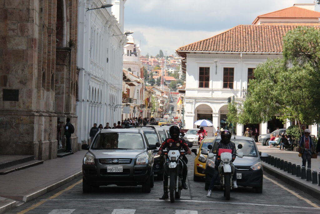
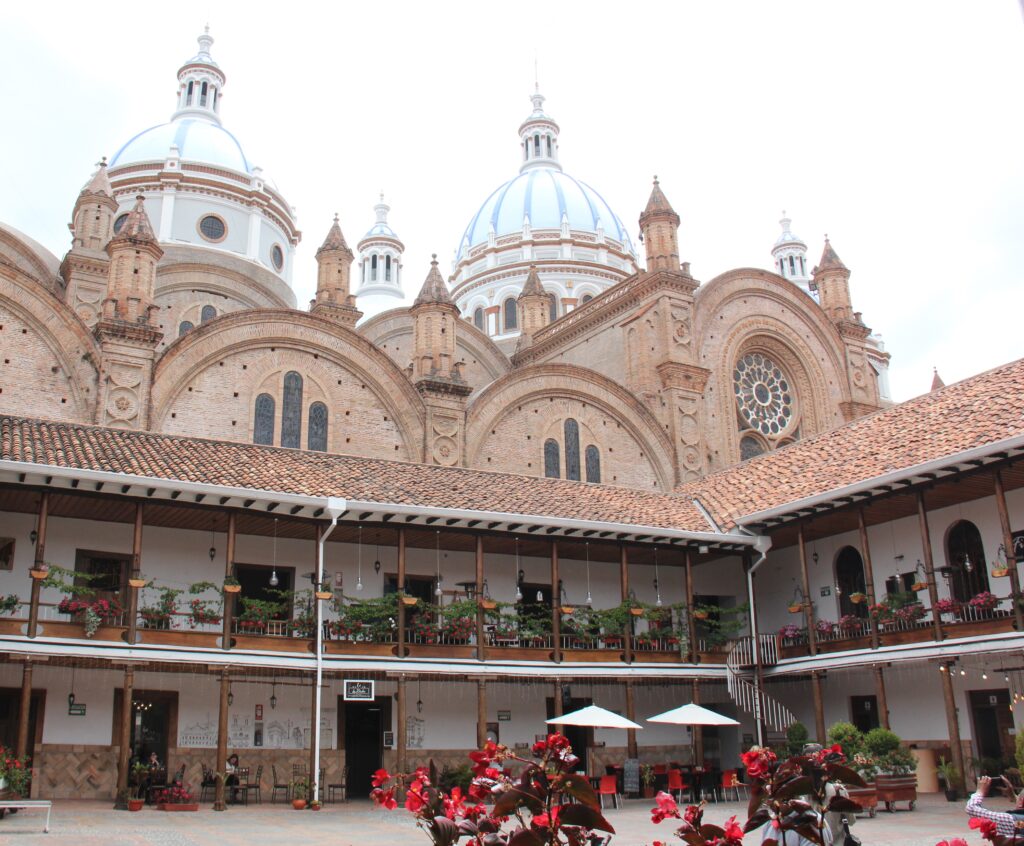
Ecuadoran scenery en route from Alausi to CuencaFlower stalls doing a roaring trade ahead of Valentine’s Day, Cuenca A French couple ( VW ) and ourselves – squeezed into Tu Parada campground, downtown Cuenca. More of a secure, gated private driveway than a true campground, we enjoyed incredible hospitality from our host, Miriam, right in the heart of townLois, on a bridge over the Rio Tomebamba in CuencaDowntown Cuenca – the many white buildings, terracotta roofs and parks make for a very pretty cityThe famous 3 blue domes of the Catedral Nueva seen here behind a plaza of boutique restaurants and coffee shops in CuencaThe Homero Ortega Panama hat factory, CuencaThe finishing roomAnd the showroom – for menAnd for the ladies – mostly high-end product it seemedWho could forget Julia Roberts’ outfit in “Pretty Woman” . While she wore a Panama hat she is obviously not the only star partial to them
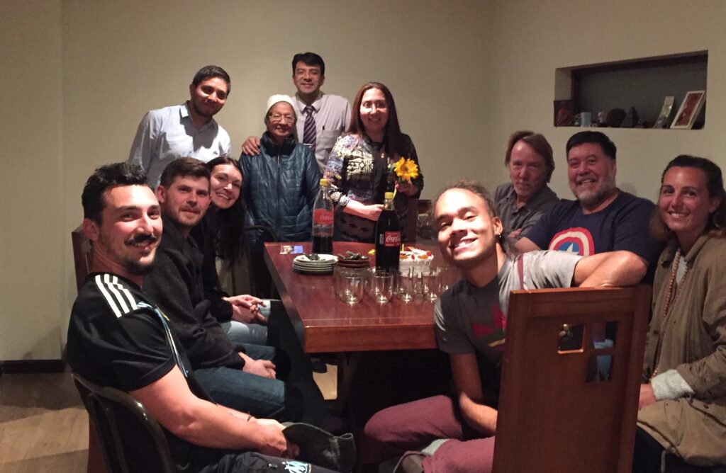
Our host in Cuenca, Miriam, turned 48 on the day we arrived. With visitors from Canada, France ( the couple in the van pictured beside ours ) and 4 other visitors from the US and Chile staying in the house ( she runs an AirBnB as well ), Miriam invited us all in to join her family and share in her birthday celebrations – a great time was had by all and it was a wonderful end to another week in Ecuador.
Celebrating our camping hosts 48th birthday in Cuenca with family and fellow overlanders
Mere mention of the Galápagos Islands conjures up images of otherworldly giant reptiles, rare and colorful oddly named birds and a profusion of amazing undersea creatures. Few would not jump at the chance to go there and while it is remote and far from almost everywhere, not so when you are already in Ecuador. Having passed up that opportunity when we were time-restricted once before there was no such hesitation this time around. Once our Galapagos week was booked from Quito, both of us were like kids at the gates to a theme park while sitting in the airport lounge waiting to depart.
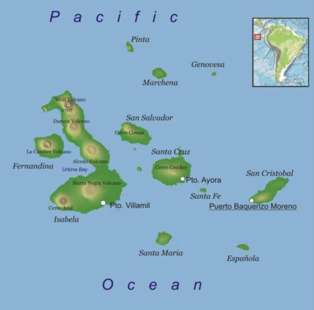
The Galápagos Islands – we flew to Santa Cruz, then took ferry’s, first to Isabela, then to San Cristobal. Returned to the mainland from San Cristobal
Straddling the equator, this province of Ecuador lies about 1,000 kms west of the South American continent. Because of its relative isolation, the archipelago contains an unusual abundance of plants, animals and marine life not found anywhere else in the world. Famed British naturalist Charles Darwin visited in 1835 on the HMS Beagle ( much reference to Darwin can still be seen all over the Galápagos) and what he observed here contributed significantly to his theory of evolution.
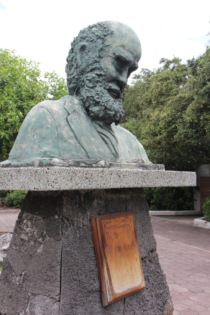
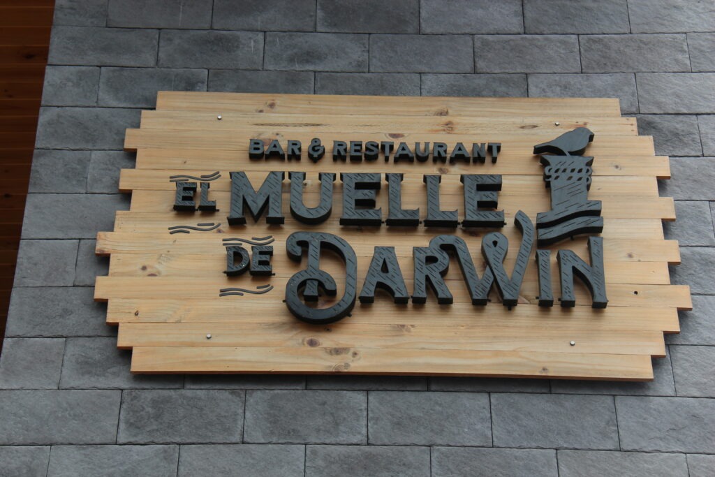
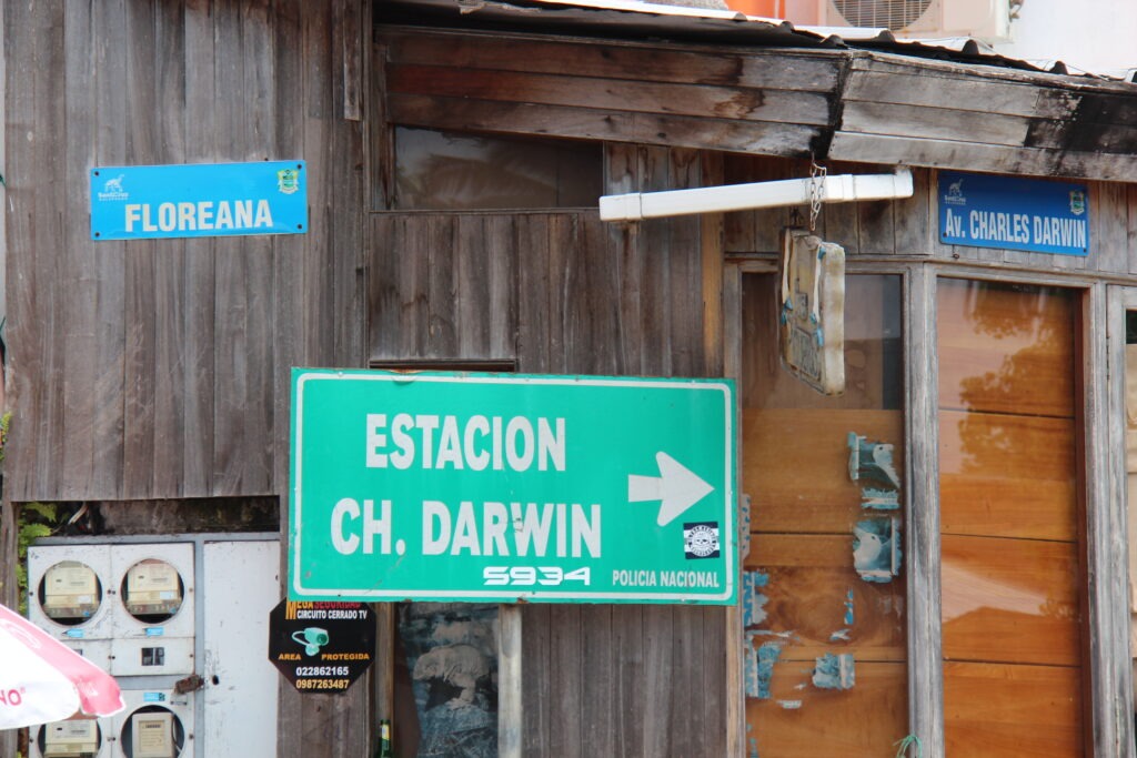
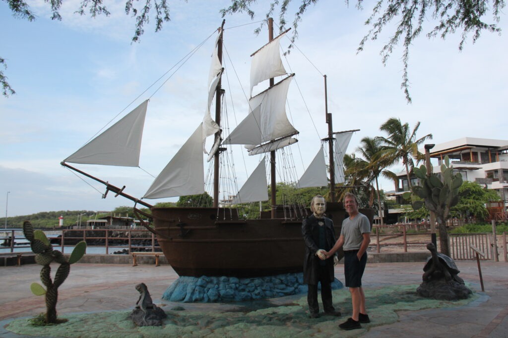
A bust of Darwin, near the dock in Santa CruzWe had a beer in this bar named after DarwinThe main street in Santa Cruz is named after Darwin….as is the scientific research station….and you can even shake hands with the man in San Cristobal
The islands truly are unlike any other place we have been and their impact is immediate. Just driving in to town from the airport in Baltra – a 25 minute trip – we’d already seen 3 giant tortoises. Simply walking around the islands – before we even ventured underwater – we were constantly surrounded by unusual and exotic ( to us anyway ) wildlife. In many cases you had to be careful not to tread upon, or trip over, them ! That, and the fact that almost no animal we saw exhibited the slightest fear of humans. Combine the uniqueness of the wildlife and it’s accessibility and you have a mecca for wildlife enthusiasts that deserves every bit of its reputation for being an experience like no other.
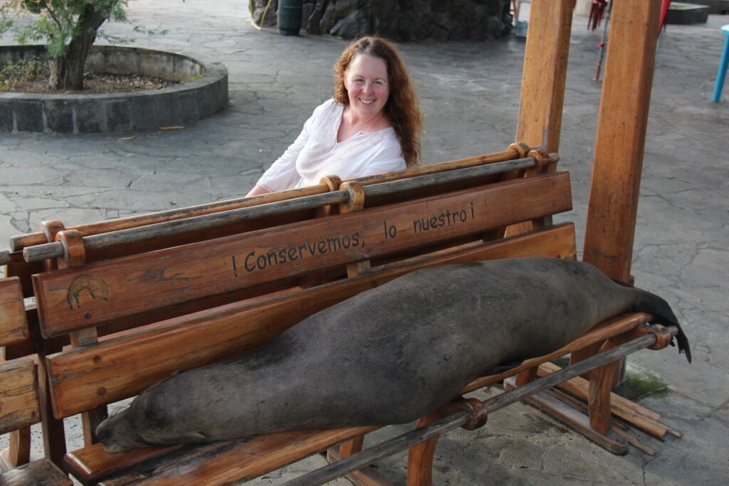
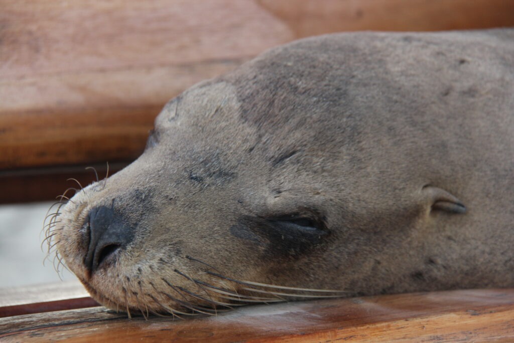
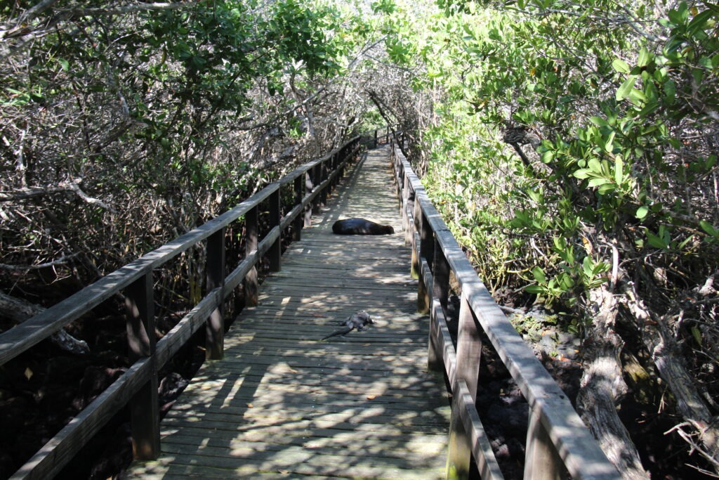
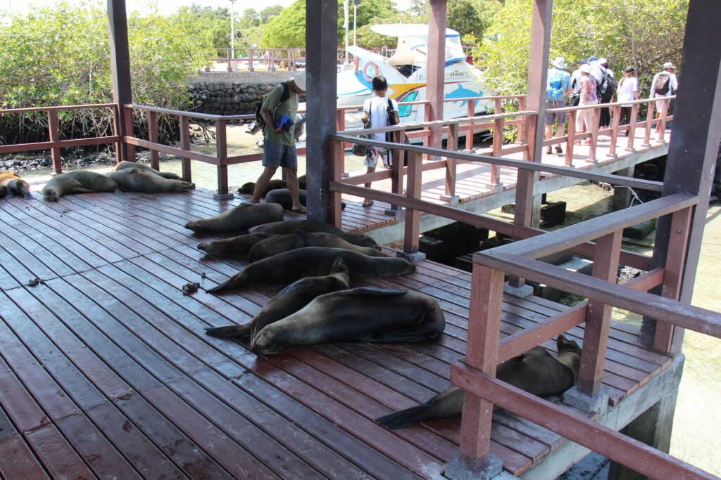
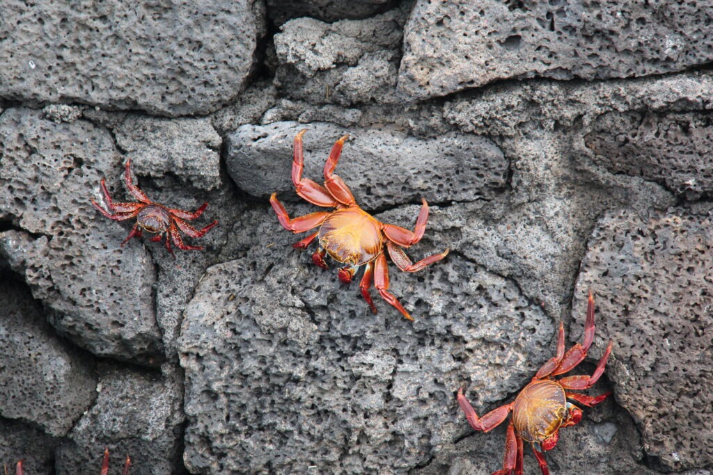
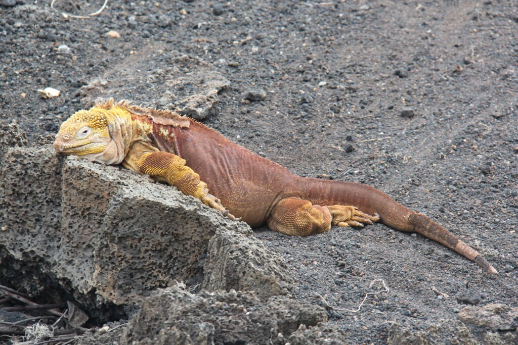
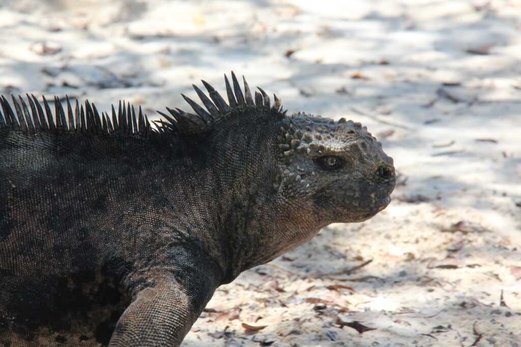
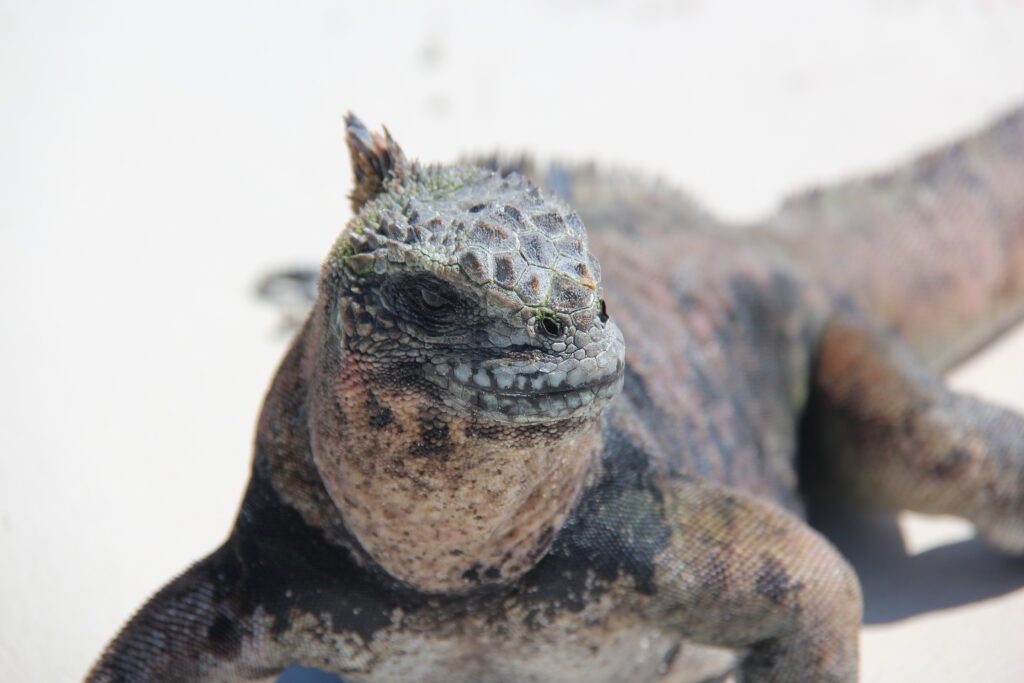
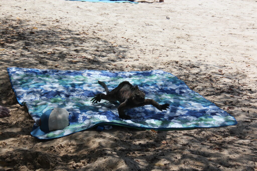
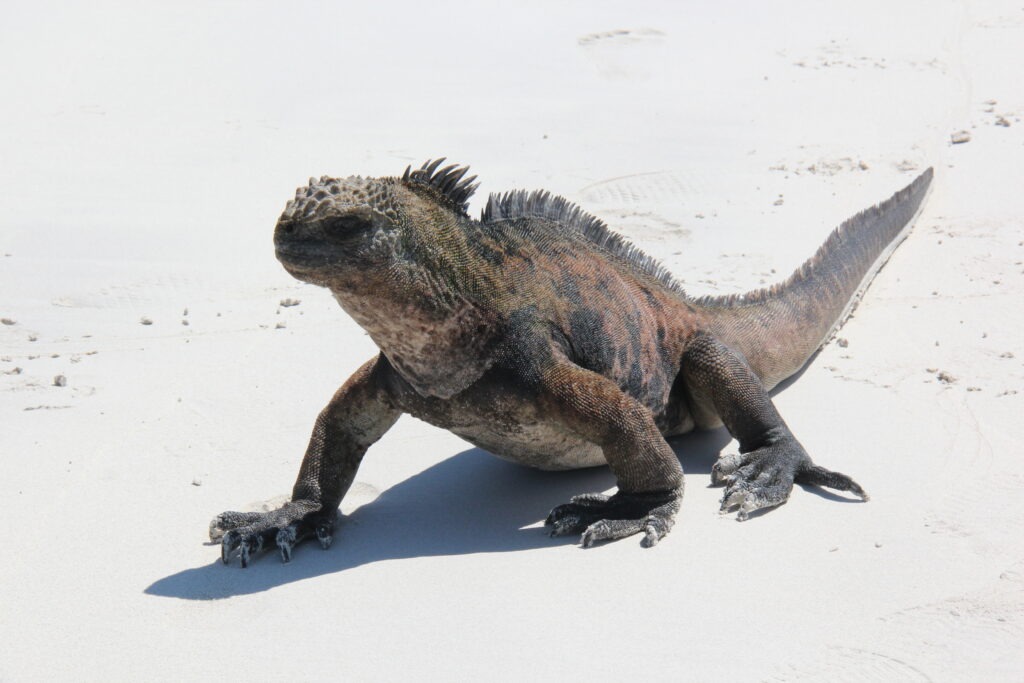
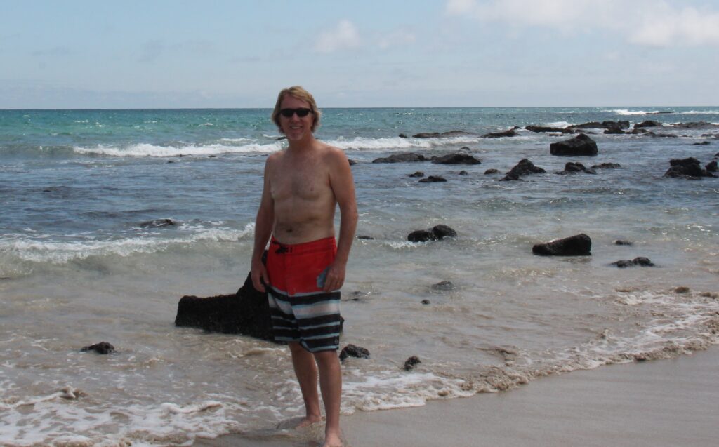
Lois took a break on San Cristobal – and then realized she had companySame sea lion, up close !Sea lions and marine iguanas could be found lounging around on almost every walkway….and on every pier, sometimes by the dozenColorful crabs, Santa CruzWe did not see many terrestrial iguanas, but loved the colors of them, one seen here on Santa CruzA typical marine iguana- on or near every beach- their face reminded us of Godzilla !Up front view – they had no fear of tourists. They were everywhere…this one on the beach at Tortuga Bay, Santa Cruz…..….and quick to claim your beach towel if you went swimming for too long !Marine iguana, Tortuga Bay, Santa Cruz
We’d heard many warnings about the expense of the islands – and sure, the $10-20 “tax” paid to enter each island was annoying ( if not budget breaking ), and the $100 USD ( per person ) Galapagos National Park Fee was exhorbitant by any global measure but beyond that we did not find that living in, and travelling around, the Galápagos Islands to be much more expensive than anywhere else in Ecuador. Somewhat more, but not much. Considering it’s huge international appeal, its remoteness, its uniqueness and the fact that most people will only ever visit once, based on our own experience we’re glad we just bit the bullet – if you are thinking about going, our advice is just do it !
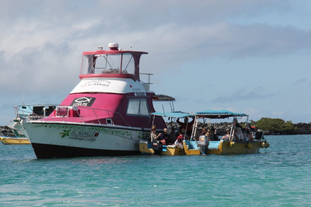
Typical inter-island “ferry”. Smaller water taxis seen here take passengers out to the ferries. Just $25 to transfer between the islands
Getting between the islands was easy with regular ferries taking just a couple of hours, and tours, where needed ( they weren’t always ) were easy to book. While all-inclusive, luxury (and thus expensive) Galapagos cruise boats could be seen visiting all islands and are popular for those wanting the 5 star treatment, “doing your own thing” ( as more and more do now ) is also very simple and takes much of the financial sting – and none of the pleasure – out of the Galapagos experience.
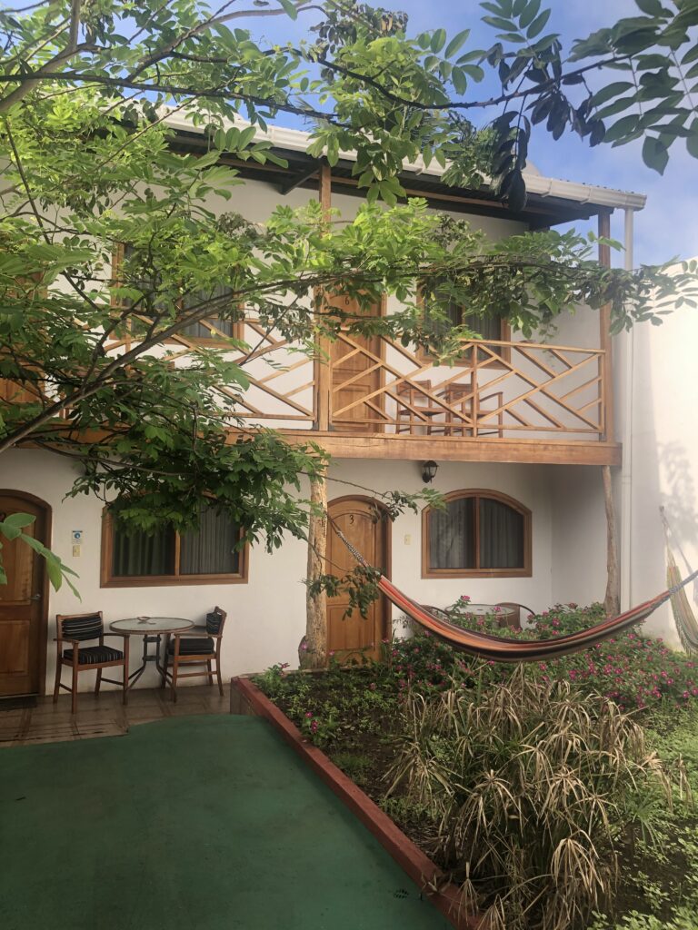
Typical of boutique, 3 star hotels on the Galapagos, widely available at very reasonable prices. This one on Santa CruzOr one can spend many thousands of dollars living aboard cruisers like this – must admit they did look pretty nice ! Either way everyone sees the same sights
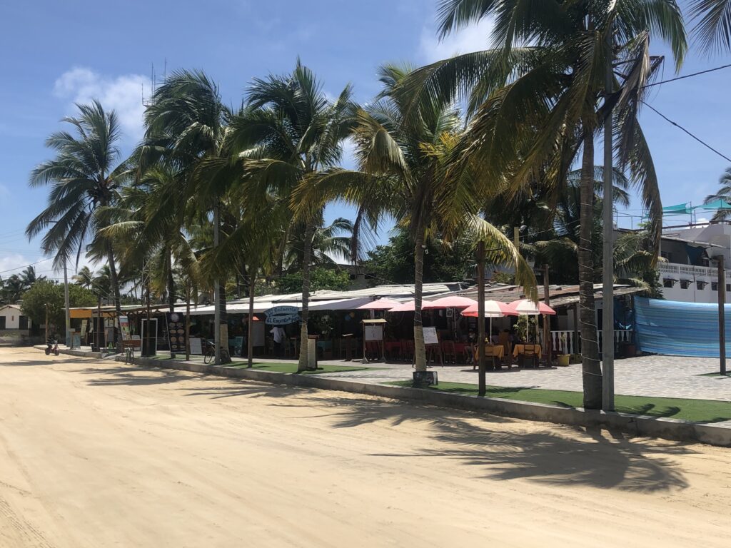
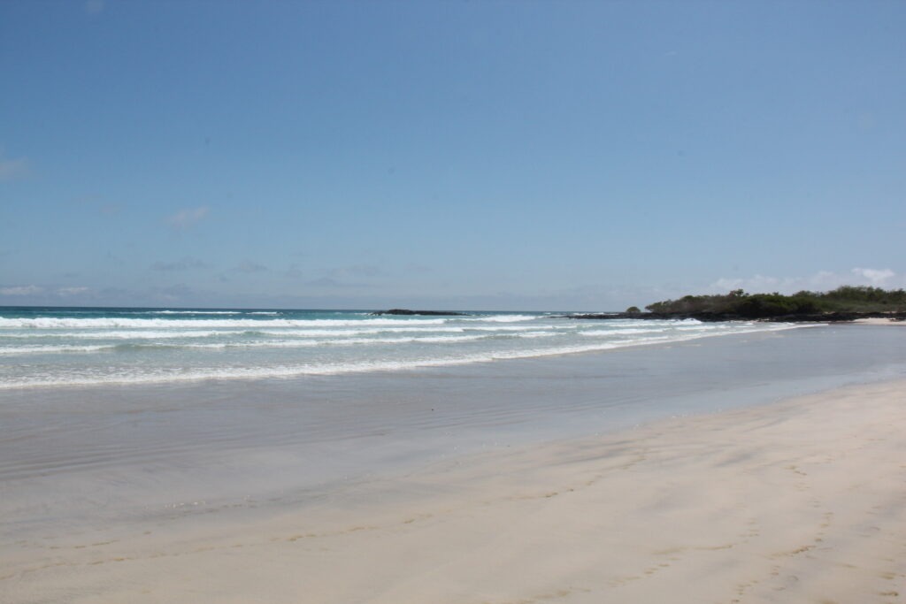
Like most, our trip was for a week and covered the three main islands. Each had its own distinct appeal, though our favorite was unquestionably Isabela. Miles of long white sand beaches, easy access to the sights, and a quaint main village with sandy streets gave it a very “South Pacific island” feel. Add to that wildlife that was easy to see and one of the best tours we have ever experienced made Isabela the most memorable for us.
Typical street on Isabela, our favorite of the three main Galápagos IslandsLong white sandy beach, IsabelaMarine iguanas coming out of the surf, Tortuga Bay, Santa CruzAt Playalita, Isla Isabela
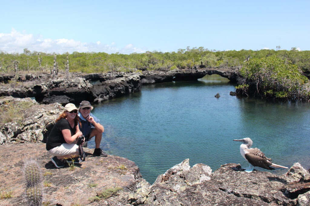
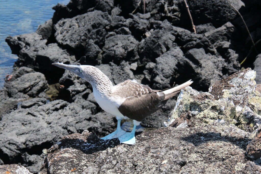
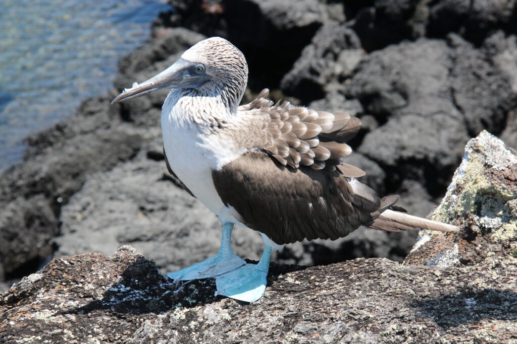
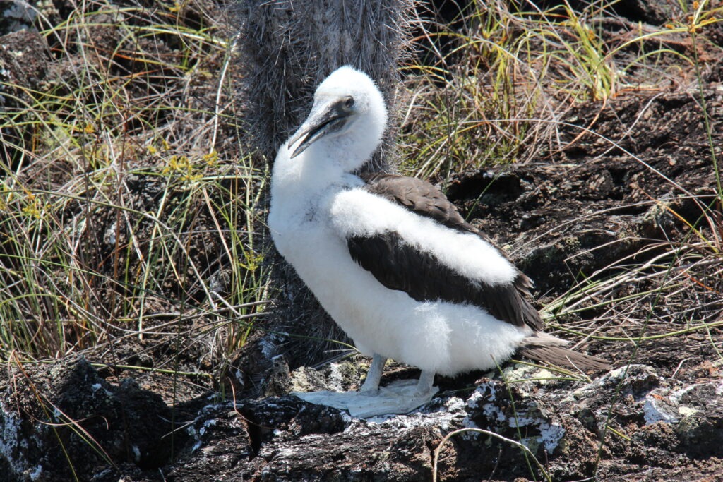
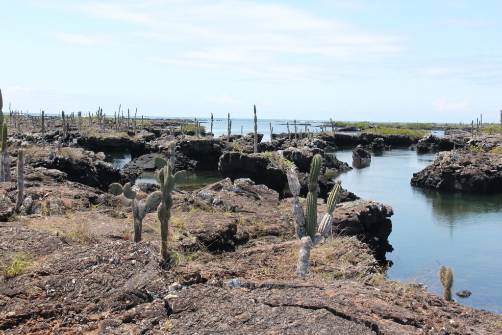
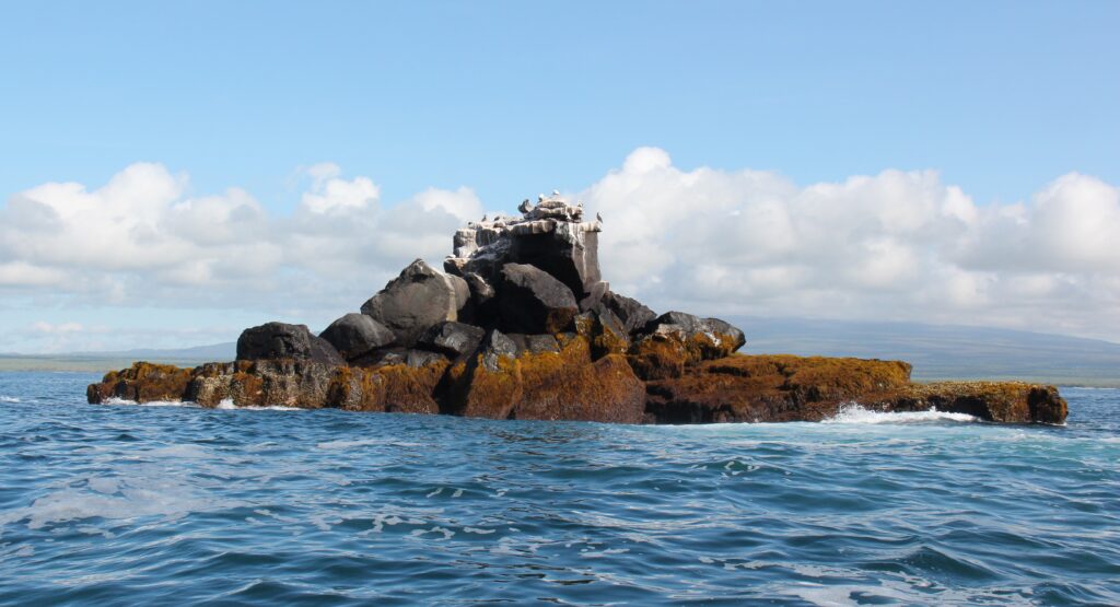
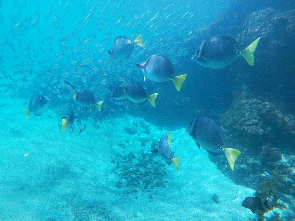
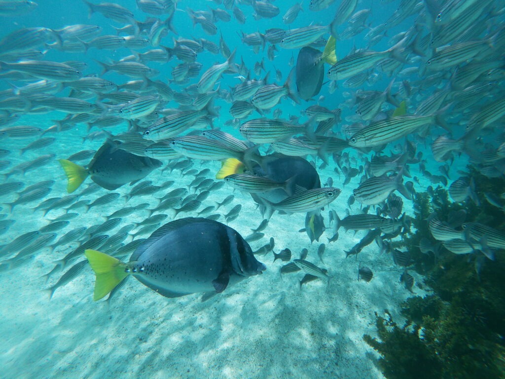
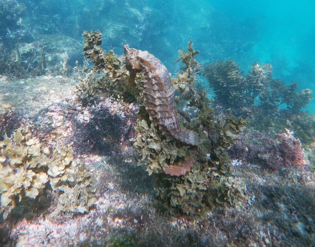
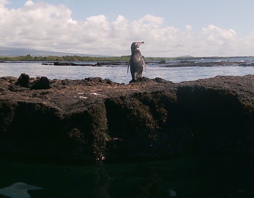
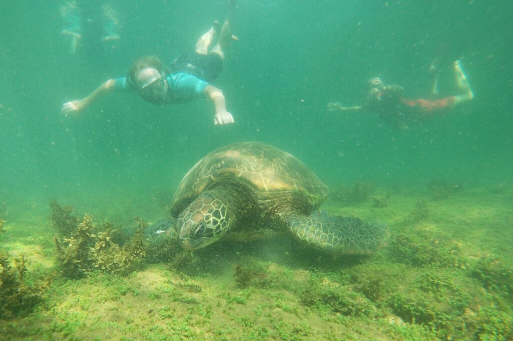
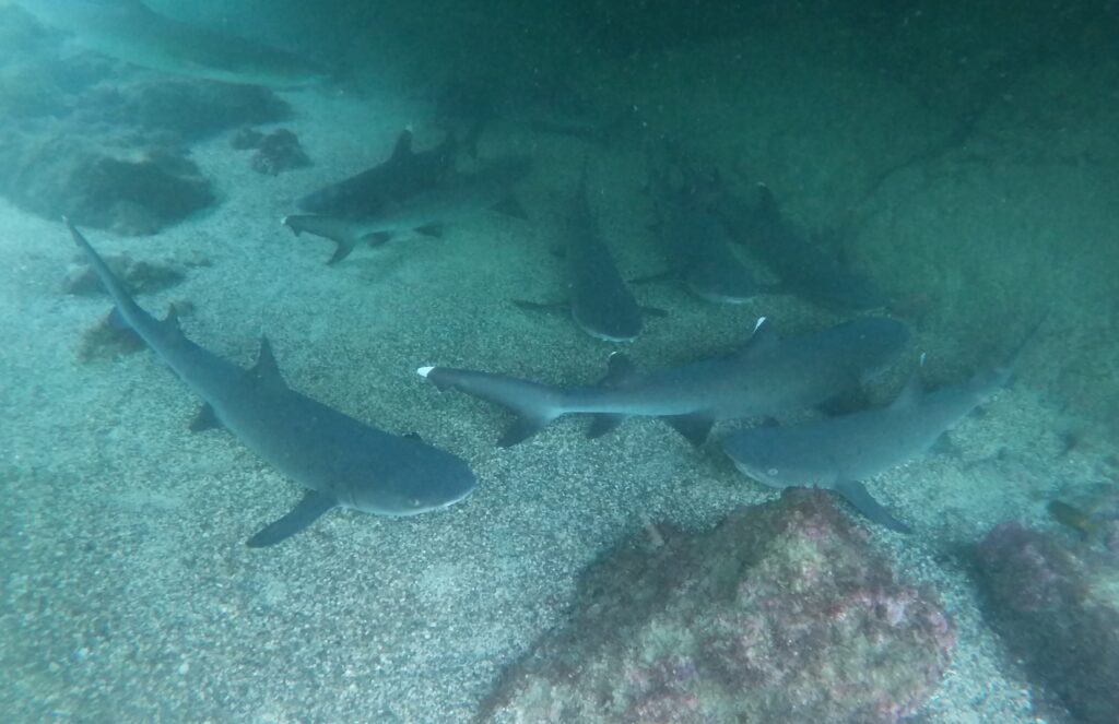
Countless others who went before us had recommended the “tuneles tour” ( tunnels tour ) and it was unquestionably the highlight of our time in the Galapagos. On this 5 hour boat/land tour we swam with giant marine turtles, sharks, sea horses, penguins, countless tropical fish and saw several Blue Footed Boobies up close. Simply magical ! That’s not to say that giant land tortoises, countless marine iguanas and sea lions weren’t appealing ( they were ) but there were so many of them roaming wild ( the latter two at least ) that you almost stopped noticing them. The boobies, sea horses and penguins were harder to find.
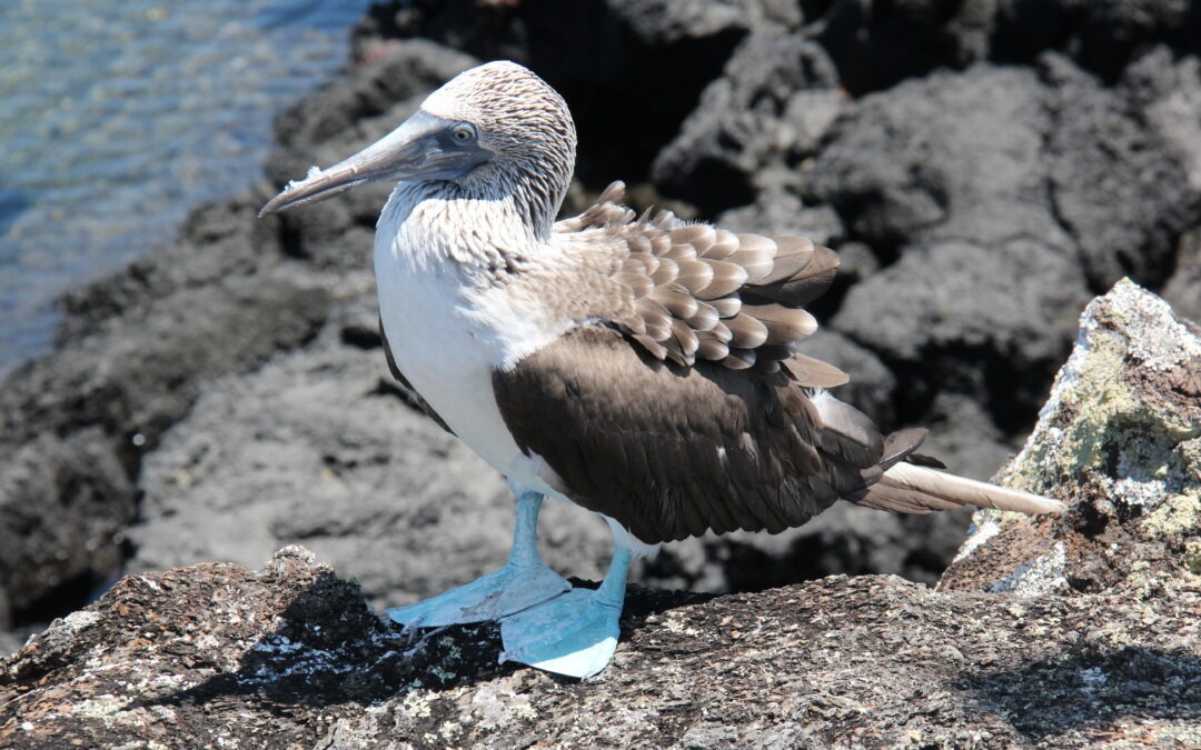
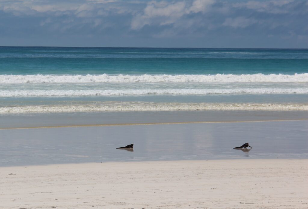
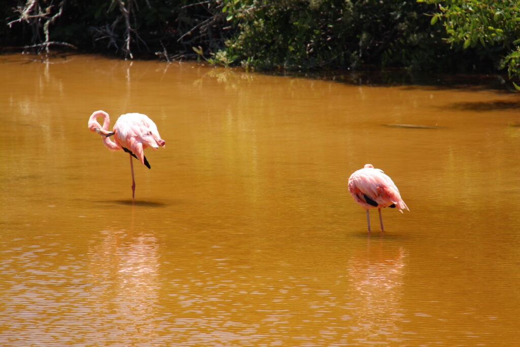
On Isla Isabela, close up with an elusive Blue-Footed Booby. The blue color comes from the food they eatBlue-Footed Booby, Isla IsabelaClose up, with a Blue-Footed Booby, Isla IsabelaA baby Blue-Footed Booby ( feet have not yet turned blue )The “tunnels” area on Isla Isabela where we snorkeled and spotted the boobies. It all came from volcanic eruptions long agoA rock outcrop near Isabela, favoured by the boobies and other marine birdsSnorkeling in the “tunnels”, Isla Isabela, shot with a Go-Pro by our guide while we snorkeledMore of the same Up close with a sea horse – we saw several on the Tunnels tourThere was a penguin up on the rocks and a couple underwaterGot to swim alongside Giant Marine Tortoises…..amazing !……and a pack of White Tip SharksFlamingos are often seen on Isabela…there were 4 feeding when we there. They have two legs, of course, but often stand on just one
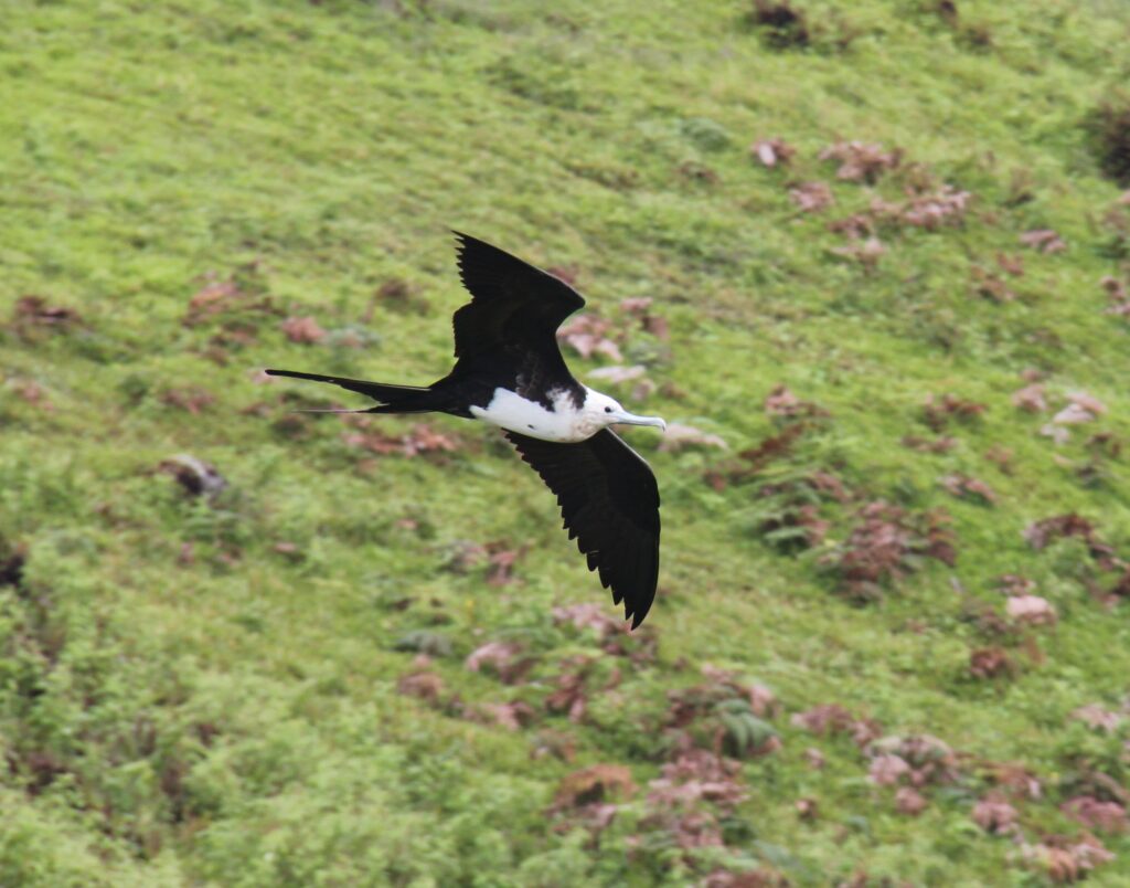
San Cristobal had one of the nicest beaches on the Galapagos, Playa Chino. A little tougher to get to so we hired a taxi and took a tour there and on the way visited Junco lake ( home to many frigate birds ) and one of the better Giant Tortoise rehabilitation centres. There is one on each of the main islands where the species, which is endangered, are kept in a protected area to ensure the populations continue to recover.
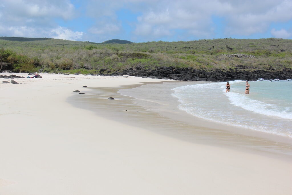
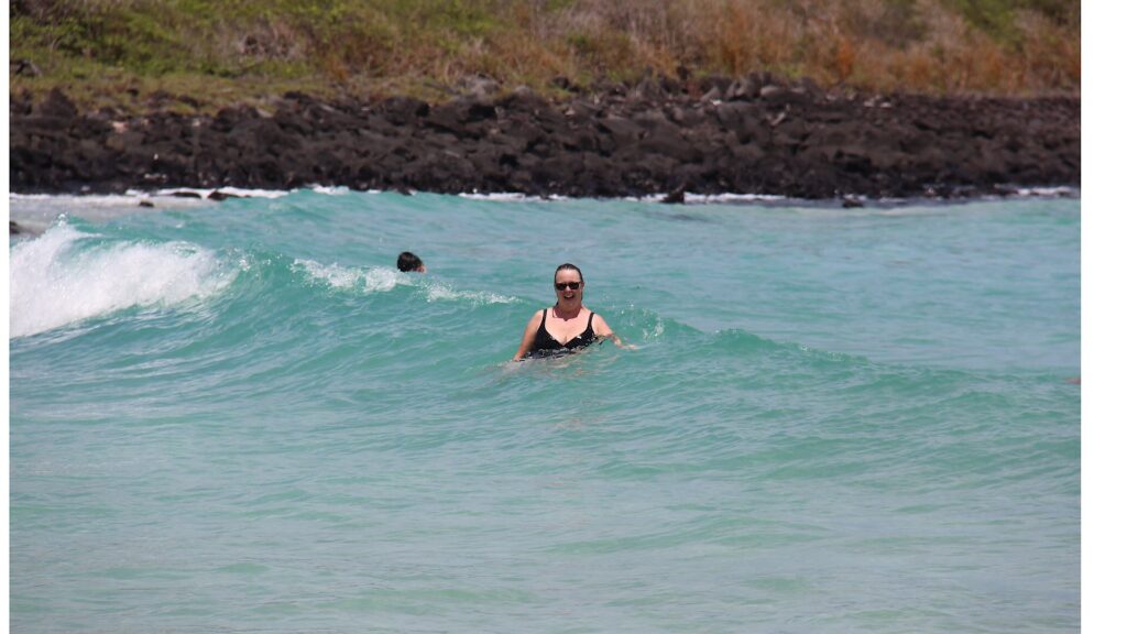
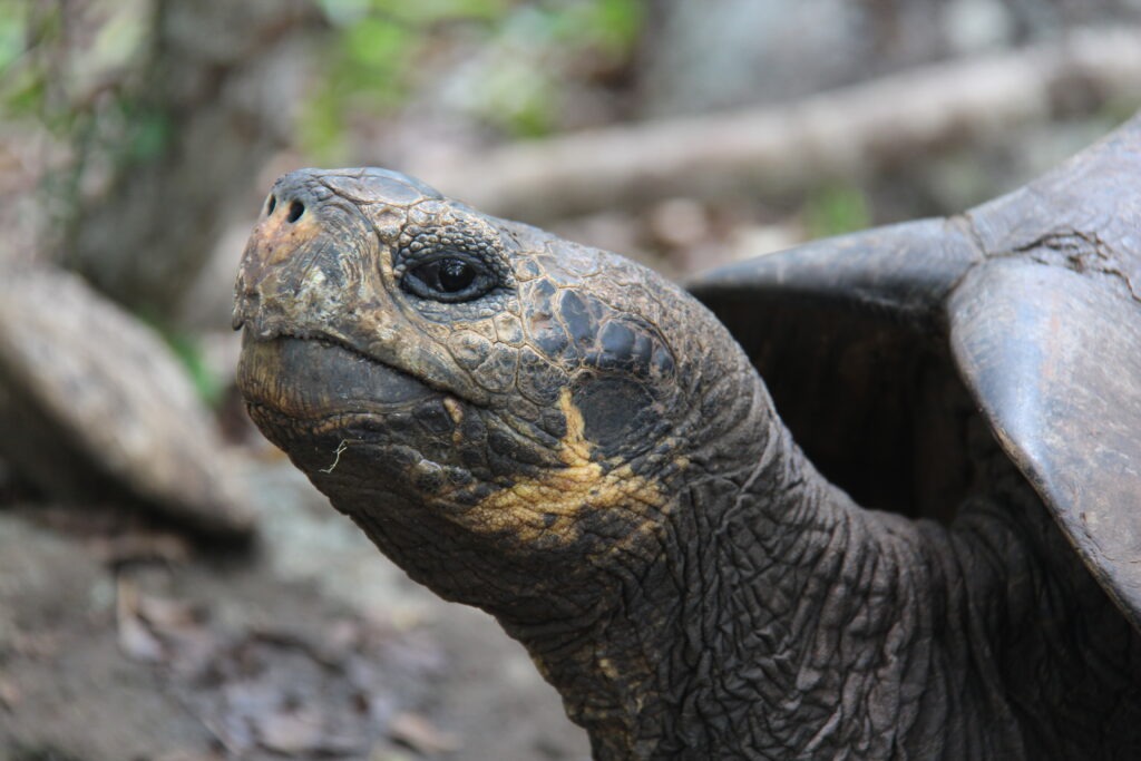
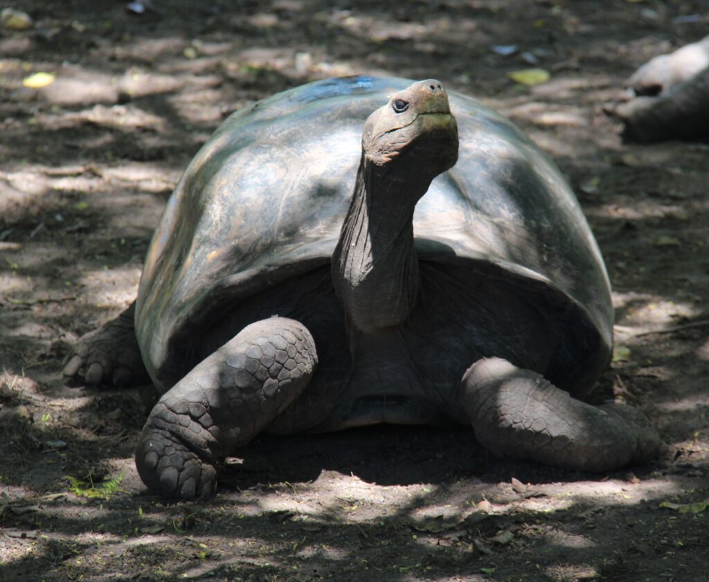
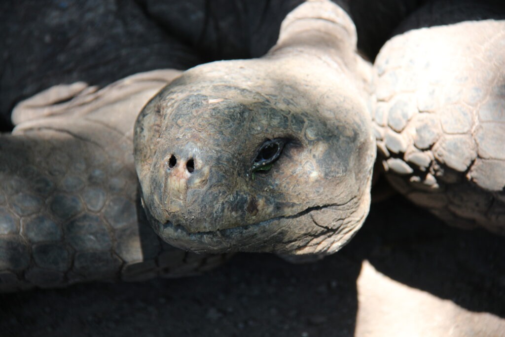
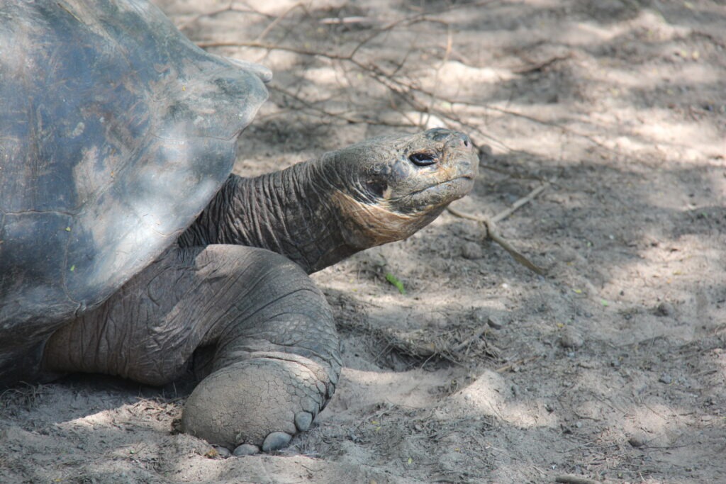
Frigate bird in flight, this one an adult female ( white chest )Chino beach, San CristobalLois, Chino beach, San Cristobal Giant tortoise, San Cristobal View from San CristobalGiant tortoise, Isla San CristobalUp close….they look so old, and move soooooo slowly !Side view, Giant Tortoise, San Cristobal
However you want to see them, the Galápagos Islands offer an otherworldly natural experience – we’re certainly glad we carved a week out of our overland trip to make it possible and would highly recommend a visit to anyone considering it.
Check out our One Endless Road YouTube channel for some live video clips of our time on the Galapagos:
The PanAm completed in April, 2022 and with the truck camper sold, we shipped our new Sprinter van to Australia in late 2022. We travelled there through all of 2023 and into 2024 before shipping it up to North East Asia where we travelled for 4 months between Korea and Japan, before shipping it back to North America. It’s our plan to continue exploring the world in 2025.