Click below for a link to our latest post. This week you will note that the video clips are via YouTube link ( it’s been suggested to me that it may solve the problem of Gmail subscribers seeing the weekly subscription go into their Trash/Spam folder). We shall see:
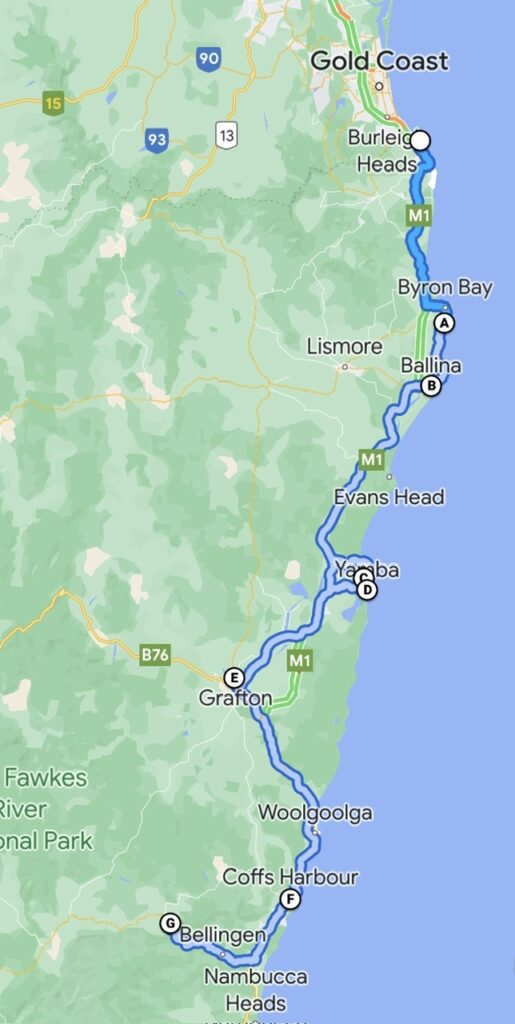
The northern section of the NSW coast had indeed been impressive – endless long stretches of white sand, wildlife sightings that we hadn’t expected, quaint towns – even our ventures inland had yielded unexpected treasures. Could the central part of NSW’s coastline possible compare ? In short – absolutely !
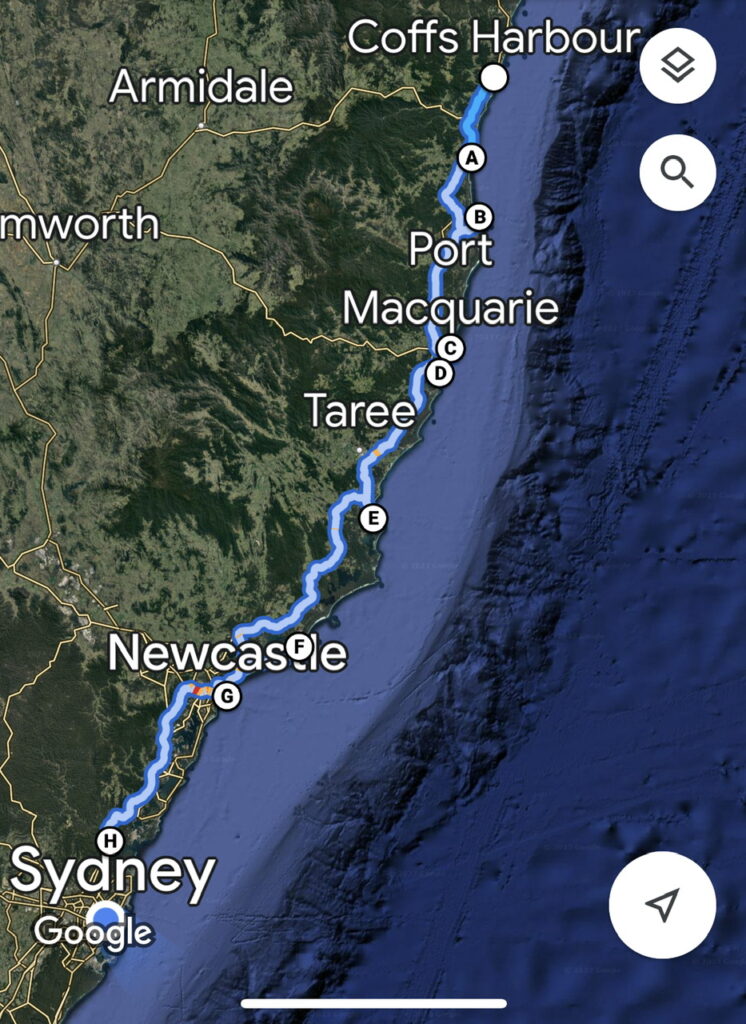
Our travels of late.
Nambucca Heads was our first stop. Widely considered one of the nicest spots on the coast, we’d wholeheartedly agree. The viewpoints and coastal hikes offered amazing perspectives – we had the added advantage of some local area insights from Adrian and Darrell, a couple of like-minded travellers we had met earlier during a stop over in Denham, Western Australia. Wonderful to reunite with them, and as is often the case in these kinds of connections, the more you sit and chat, the more you find you actually have in common. It was Adrian and Darrell who are purchasing a new Sprinter van with a professional conversion, so our visit was timely giving them an opportunity to look closely at our specifications and ask us questions as to design options.
Nambucca Heads
Relaxing on the deck with Adrian and Darrell, Nambucca Heads.
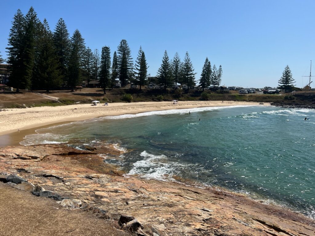
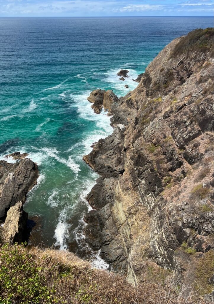
Just south was another interesting part of the coast we’d not previously explored- Trial Bay , South West Rocks, and Hat Head; great beaches, an historic gaol/jail and one of the prettiest lighthouse lookout/hikes we’ve enjoyed so far. Port Macquarie gave us the opportunity to catch up with another old kindergarten “alum” – Julie, and husband Greg joined us for a drink at a nearby pub and gave us some great pointers on the area, both having lived here most of their lives. Wonderful to catch after such a long time !
South West Rocks.South West Rocks.South West Rocks, Trial Bay.
Hat Head National Park.Us, Hat Head National Park.Another reunion with a kindergarten alum – Julie ( and husband, Greg ) , caught up with them in Port Macquarie where they live. Wonderful to reconnect after so many years !Town Beach, Port Macquarie.
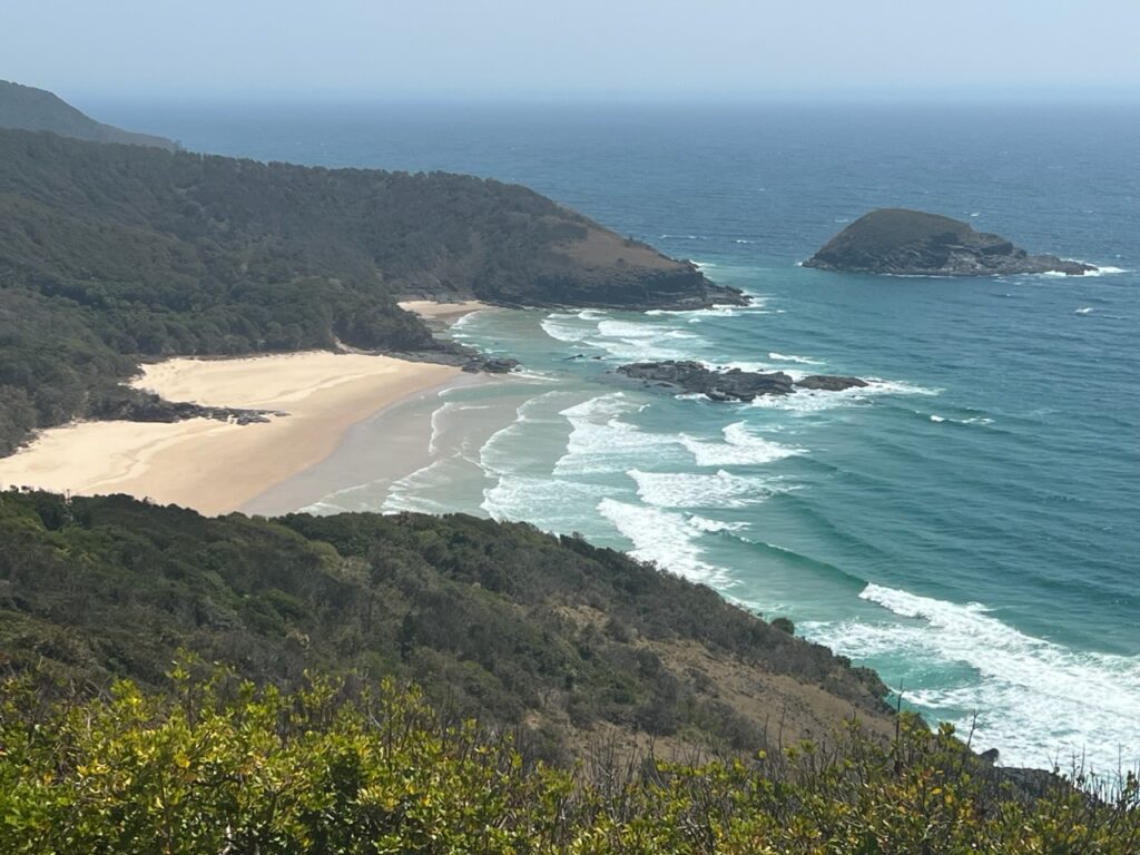
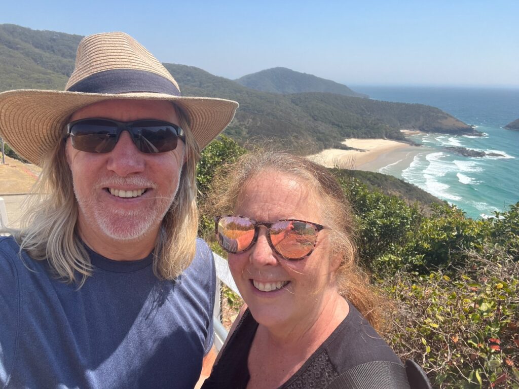
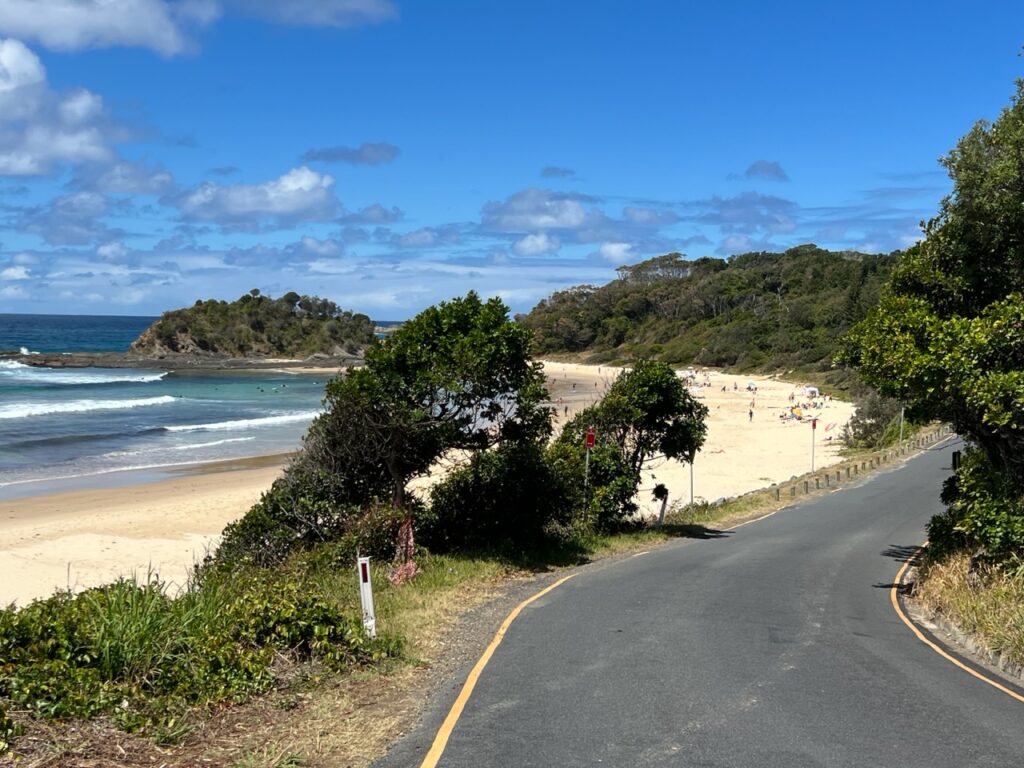
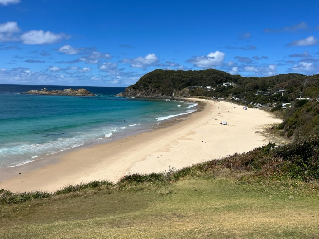
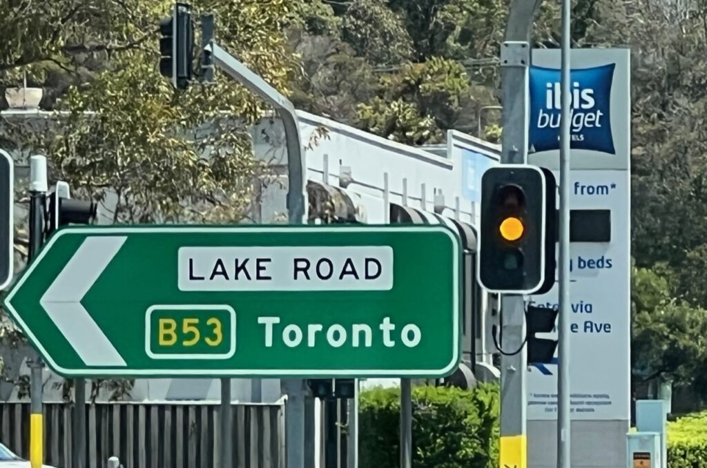
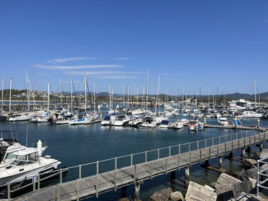
From Port Macquarie the M1 took us south to Newcastle but we did manage pit stops in Nabiac and Beuladelah, the latter town where we managed to cross paths with my brother and his wife who were returning home to Temora from Queensland. Great to have an impromptu and somewhat unexpected catch up ! Our general preference is to take the side roads when there is a viable option to the motorway and conveniently there was a coastal road south towards Newcastle – hugging the road around beautiful Lake Macquarie one passes Toronto ( yes, there’s one in Australia ! ), Foster/Tuncurry, The Entrance, and Nelson Bay all popular beachside communities and just starting to get busy with the impending arrival of summer holiday hordes.
We managed to cross paths with my brother ( Ian ) and his wife ( Anne ) once again on our Australian “lap”. They were returning from a short trip to Queensland and we connected in Beuladelah.Bennett Head Lookout, Forster.Seal Rocks, Myall Lakes National Park.Seal Rocks.
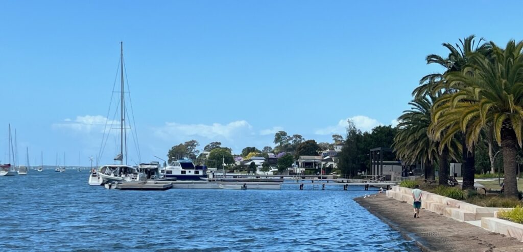
Felt I had a good handle on NSW geography, but did not know we had a “Toronto” ! A nice little town on pretty Lake Macquarie.Lakeside, in “Toronto”, Australia.
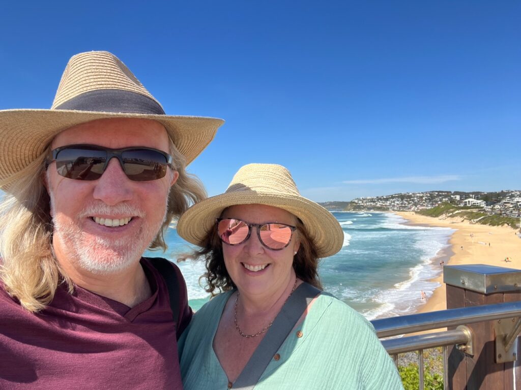
Newcastle, a city best known for its industry and port, and long in the shadow of more glamorous Sydney just to the south, surprised us both. Yes, coming in from the north you see its gritty port, train lines, massive bridge and industrial area, but go further south and Newcastle reveals its picturesque beachside and lakeside communities, historic downtown and some dramatic beach and cliff side walks. My image of the city has been reformed!
Bar Beach, Newcastle.
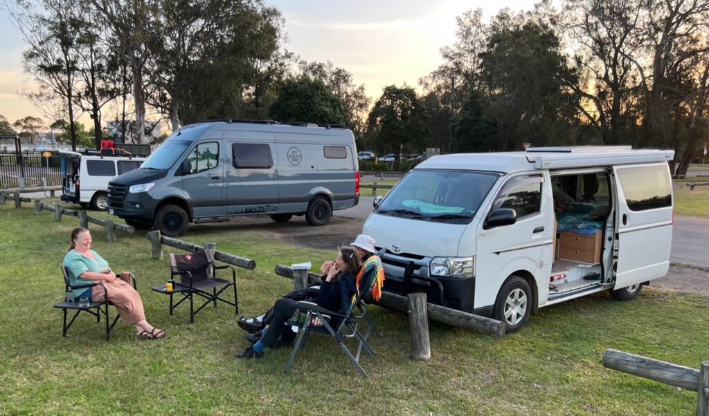
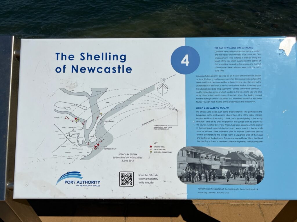
What are the odds ? We camped beside this couple in far North Queensland and bumped into them again camping in Newcastle. He, an Aussie, she from Germany. Nice to reunite !I had known that during WW2, Japanese midget submarines shelled Sydney harbour but was not aware they also attacked Newcastle. No real damage and no deaths during the attacks.
Bogey Hole is a pool, cut from rock, on the edge of a cliff. Seemed it would be pretty easy to get swept out to sea ! Look closely and you can see the chain link barrier around the pool. No one swimming that we could see !
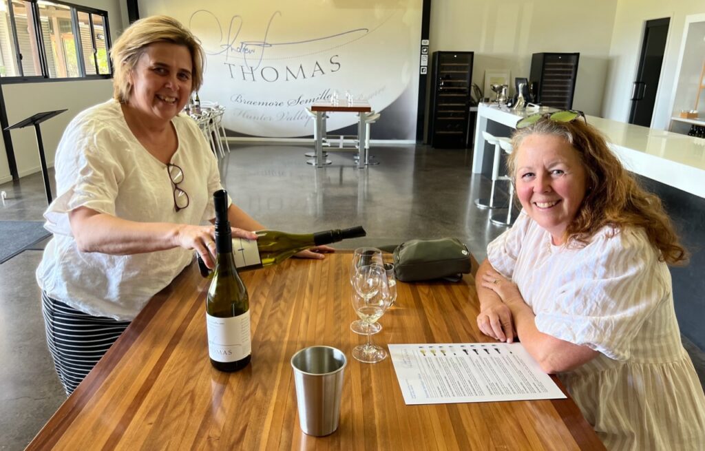
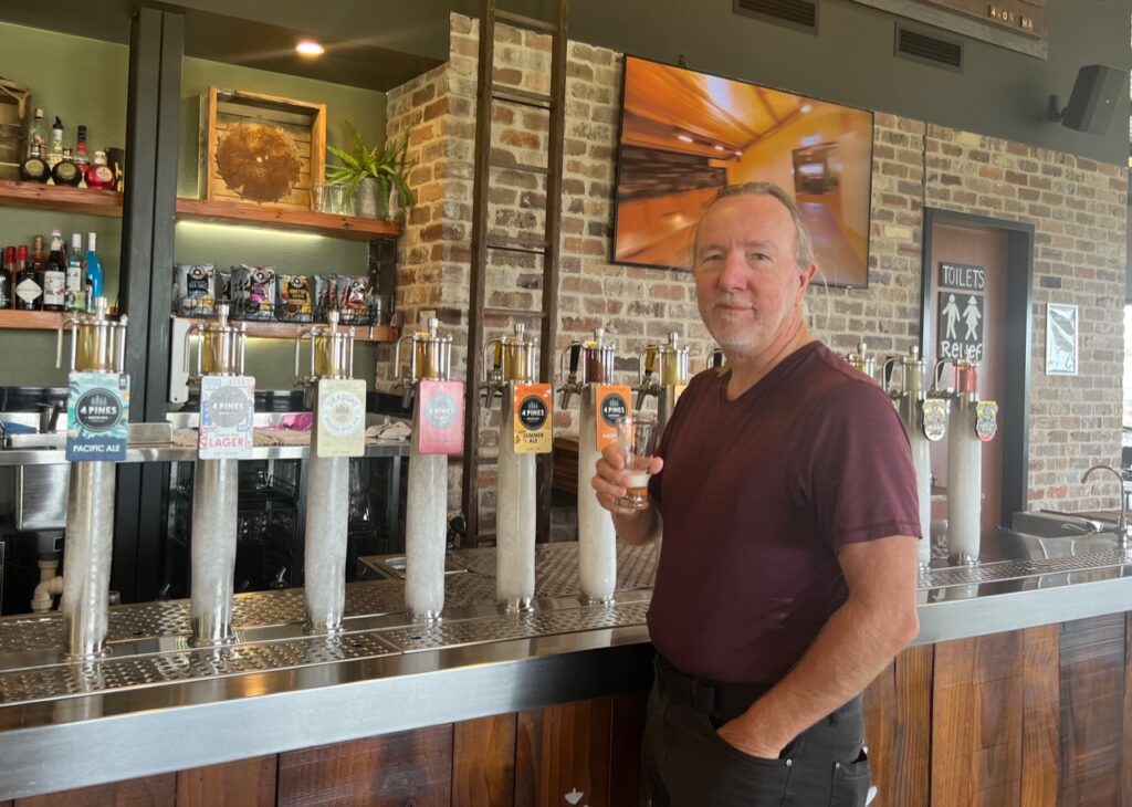
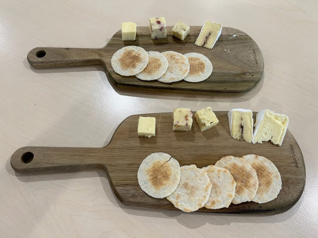
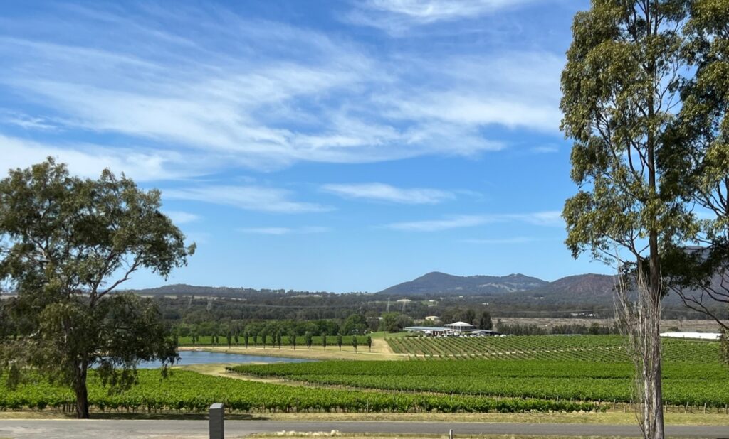
Just west of Newcastle lies the Hunter Valley, one of Australia’s premier wine producing regions, no visit to Newcastle being complete without a short detour west to enjoy its offerings. Unexpectedly quiet ( being just outside high season ), we generally had the wineries to ourselves providing ample time to sample the local fare. Cheese tastings, and even beer tastings, just added to the allure.
Thomas Wines was one that Lois really liked. The host was amazing and since it was a quiet day we had the place to ourselves.Most serendipitously there was also some beer tasting in the Hunter Valley ( it’s not all wines ! ).Cheese tasting, too !View over the Hunter Valley from Thomas Winery.
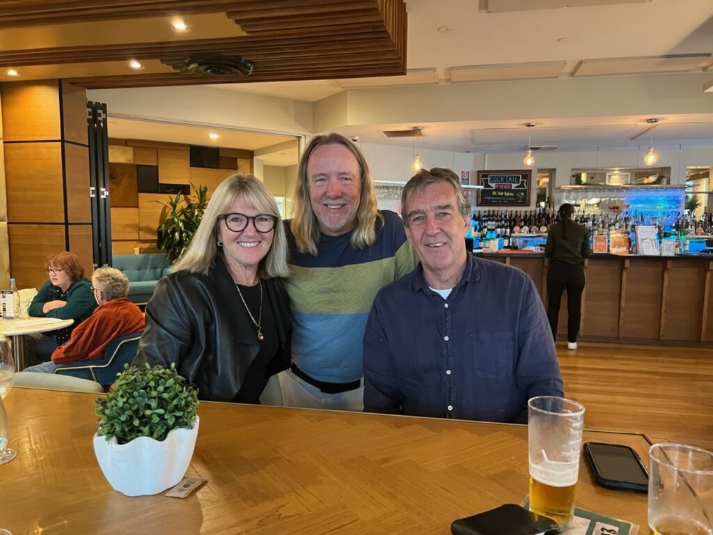
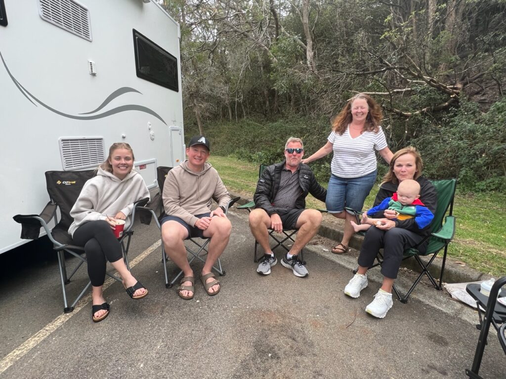
A final bonus (for what was already a great travel week ) was the opportunity to catch up with the Bowyer family. Long time friends from Kelowna, they were in Australia doing a tour of the east coast and with some modest schedule juggling we were able to connect briefly just north of the Hawkesbury River. Wonderful to sit, relax, enjoy a beer and compare notes with us heading south and they heading north to many of the places we’d just been.
It really was a great week for connecting with old friends. Here, near the Hawkesbury River, we met up with good Canadian friends (the Bowyers) who were travelling Australia in a motorhome . A short, but sweet, rendezvous !
See link below if you are a subscriber using Gmail. We are currently having issues with the direct weekly distribution of OneEndlessRoad going into spam folders of GmaIl users ( all other email platforms appear to continue receiving it as usual ):
It felt almost like we were returning home, crossing into NSW from Coolangatta. I say “home” in the sense that NSW is my home state, where I was born and raised, though not of course our home now. While it’s probably the state that both Lois and I have travelled most extensively in already, there are definitely many parts we haven’t seen and a few places we simply love returning to.
Our route of late.
With the weather already hot heading into the Aussie summer and us still being quite far north ( remember, north means hotter in the southern hemisphere! ) in the coming weeks we expect to be exploring and spending much time on this beautiful coastline with its world class beaches while poking inland here and there where local attractions provide interesting diversions.
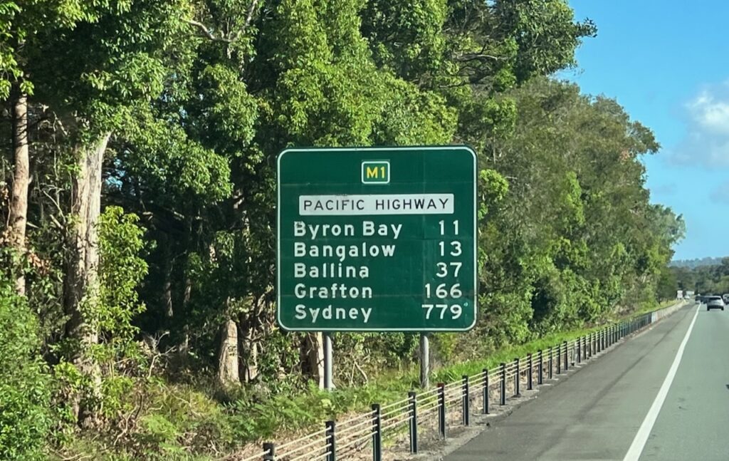
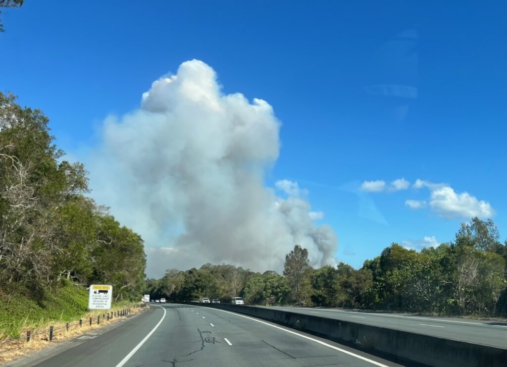
Farewell Queensland, here comes New South Wales. First stop, Byron Bay.Ominous smoke clouds as we approached Byron Bay.
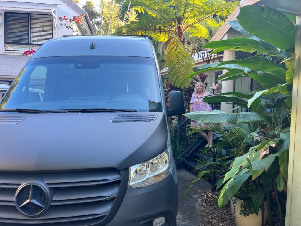
First stop was trendy Byron Bay, where we had an old friend to visit and some area beaches to enjoy. Leanne and I started kindergarten together and, while we have kept in touch over the years, the tyranny of distance has generally kept us far apart. We’d promised to connect on this trip so it was wonderful to finally make it happen. She’s in a neighbourhood close to the beach just south of Byron – the long beach walks were amazing !
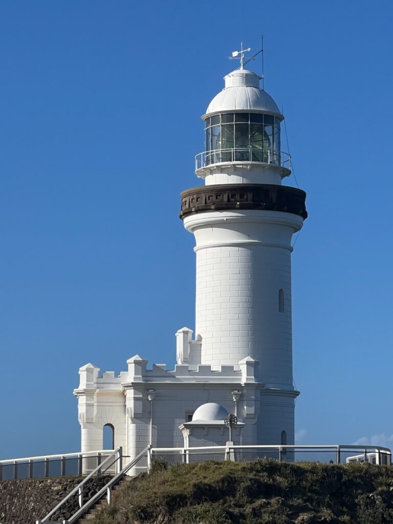
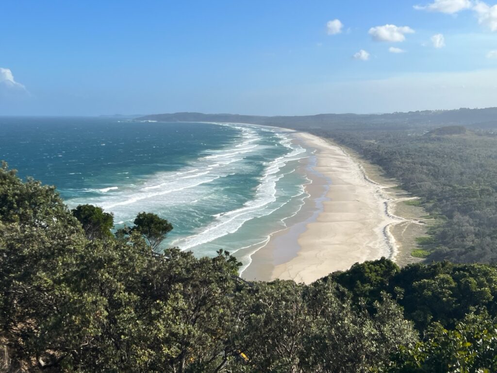
Byron ( as it’s widely known ) is famous for its beaches (among other things).Byron’s famous lighthouse, sitting right at the easternmost point of Australia.Stunning view of NSW coastline from the lighthouse.Parked up ( we only just fit ! ) at good friend, Leanne’s house just south of Byron.An ominous looking day as we walked the beach near Leanne’s.
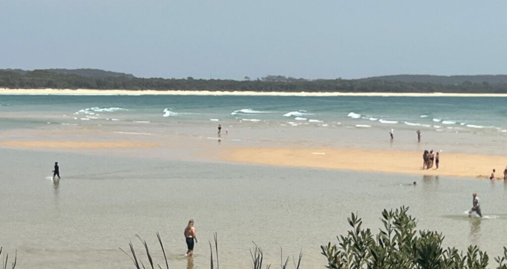
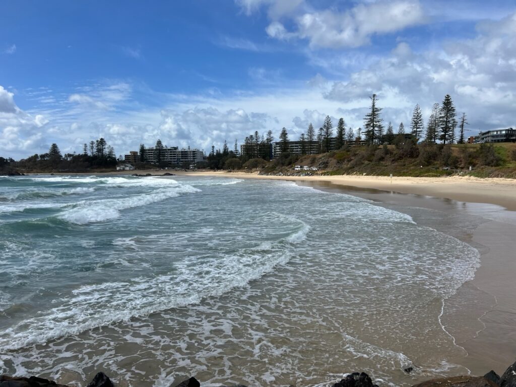
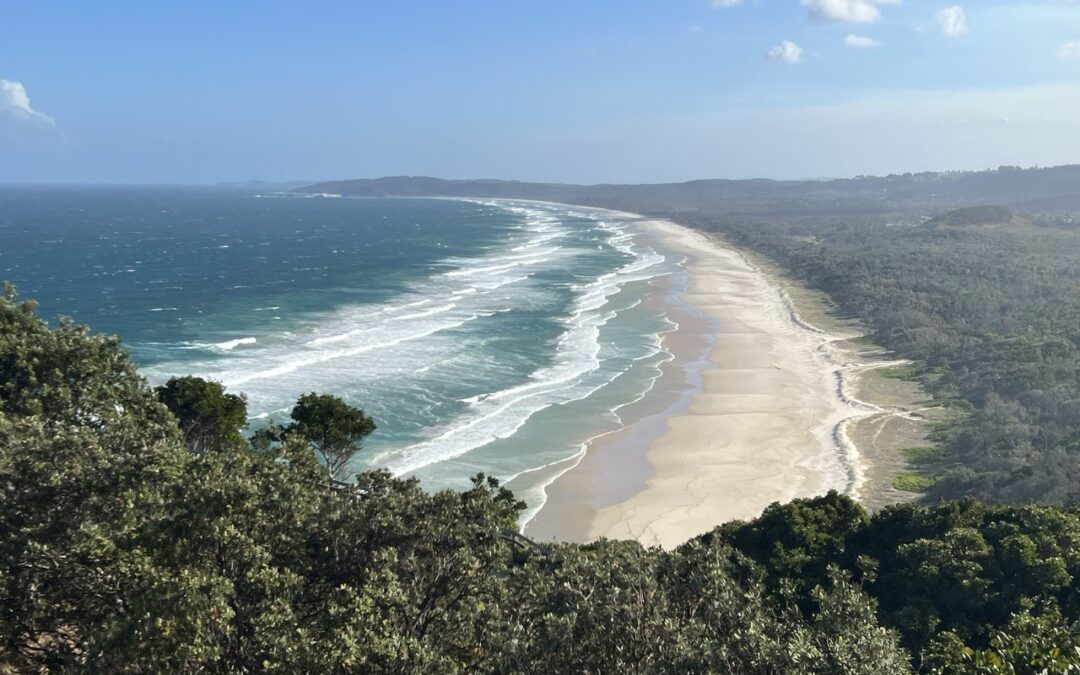
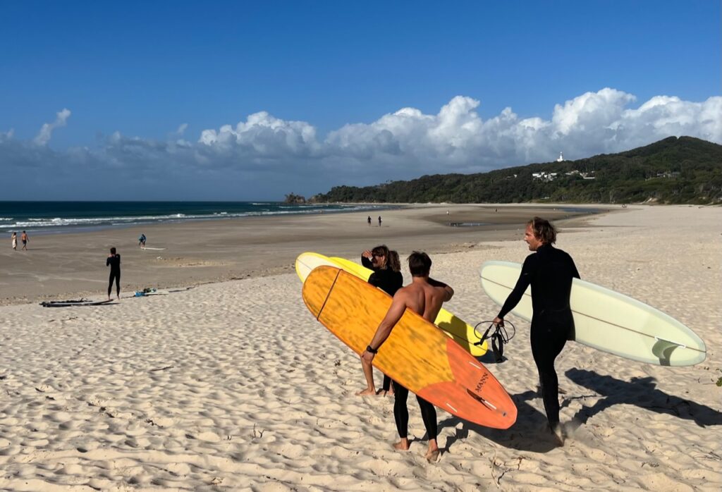
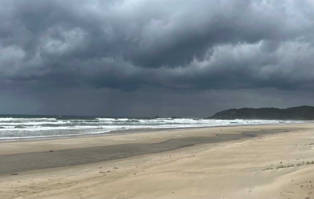
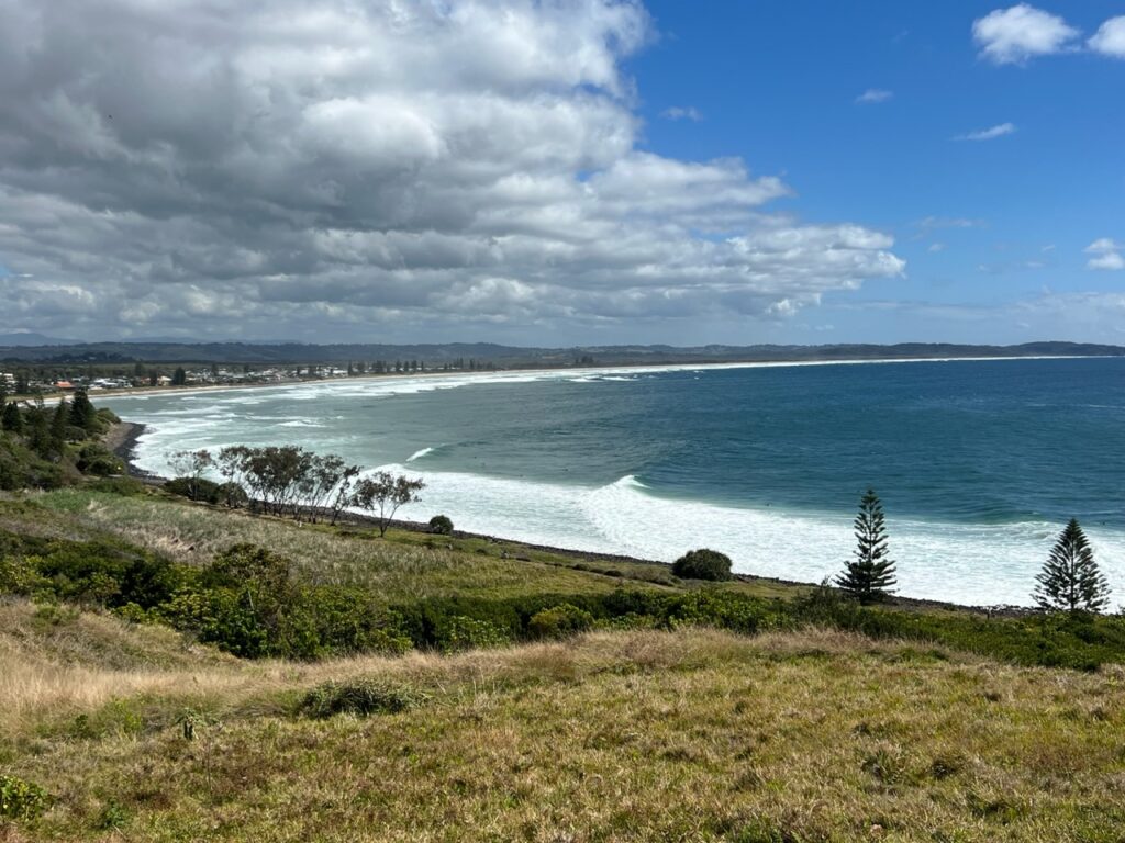
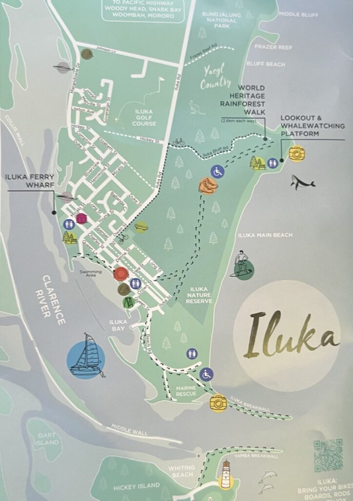
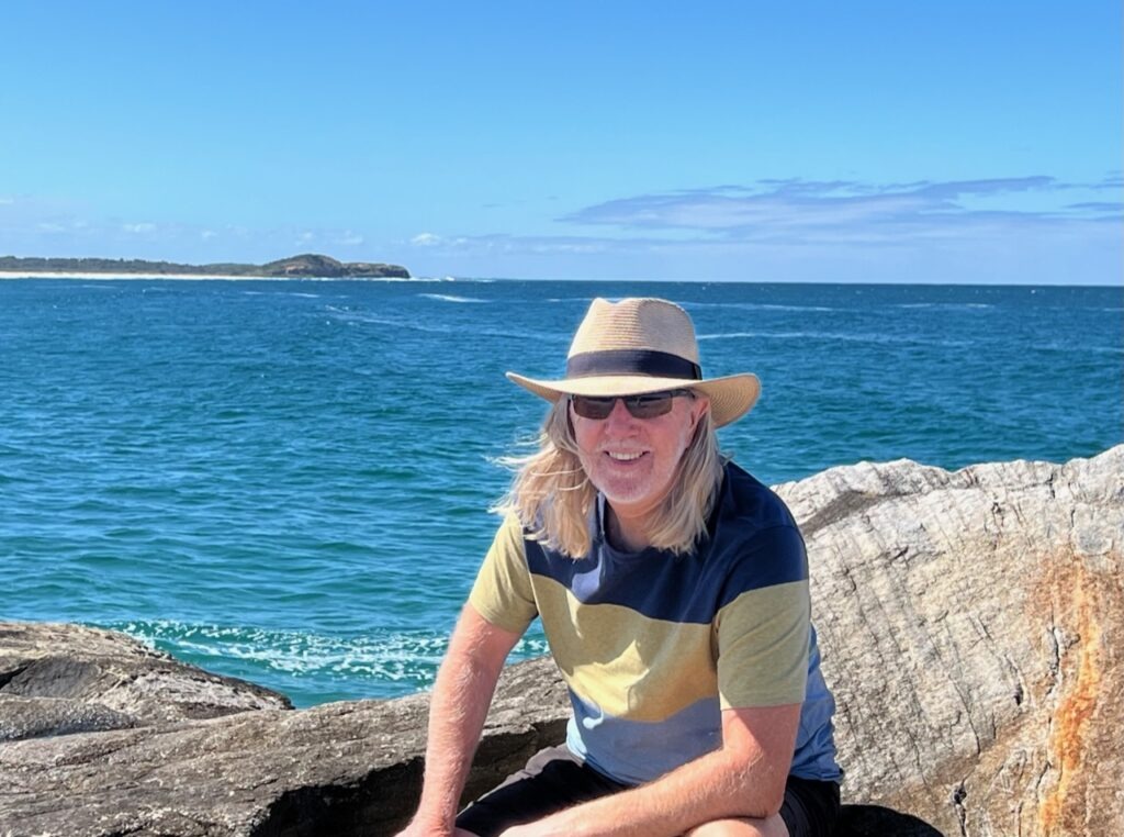
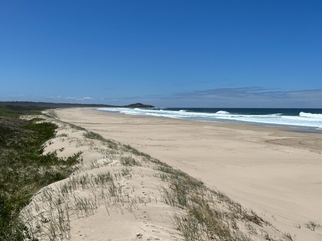
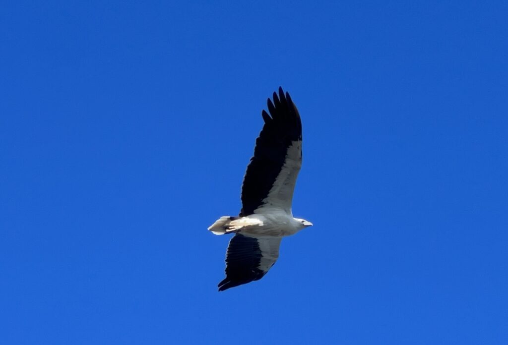
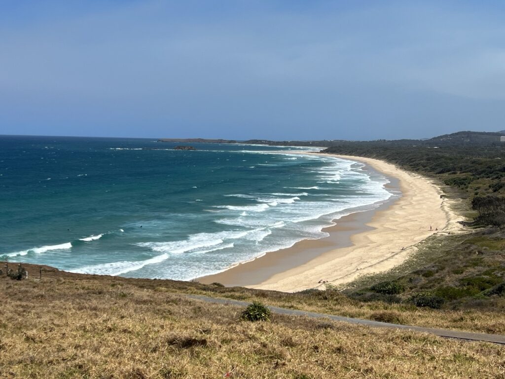
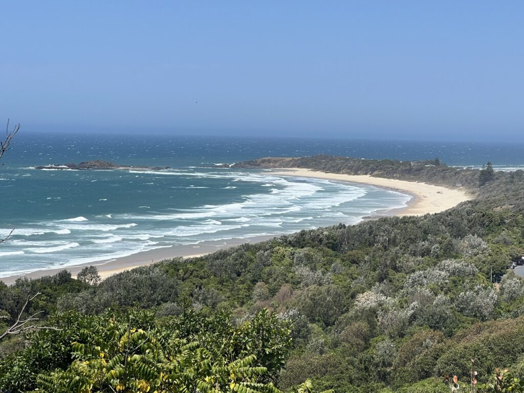
Beyond Byron we meandered down the coast over the next few days via stunning Lennox Head, Ballina, Urunga and Coffs Harbour – all of which we knew of – as well as a couple of days between Iluka and Yamba, both places neither of us had visited before. We can see why so many people end up retiring in these parts, they really have it all. The sea life, bird life, mammals and reptiles we saw around Iluka were especially impressive – far more than we expected in one place ! And the coastline – stunningly beautiful for as far as the eye could see.
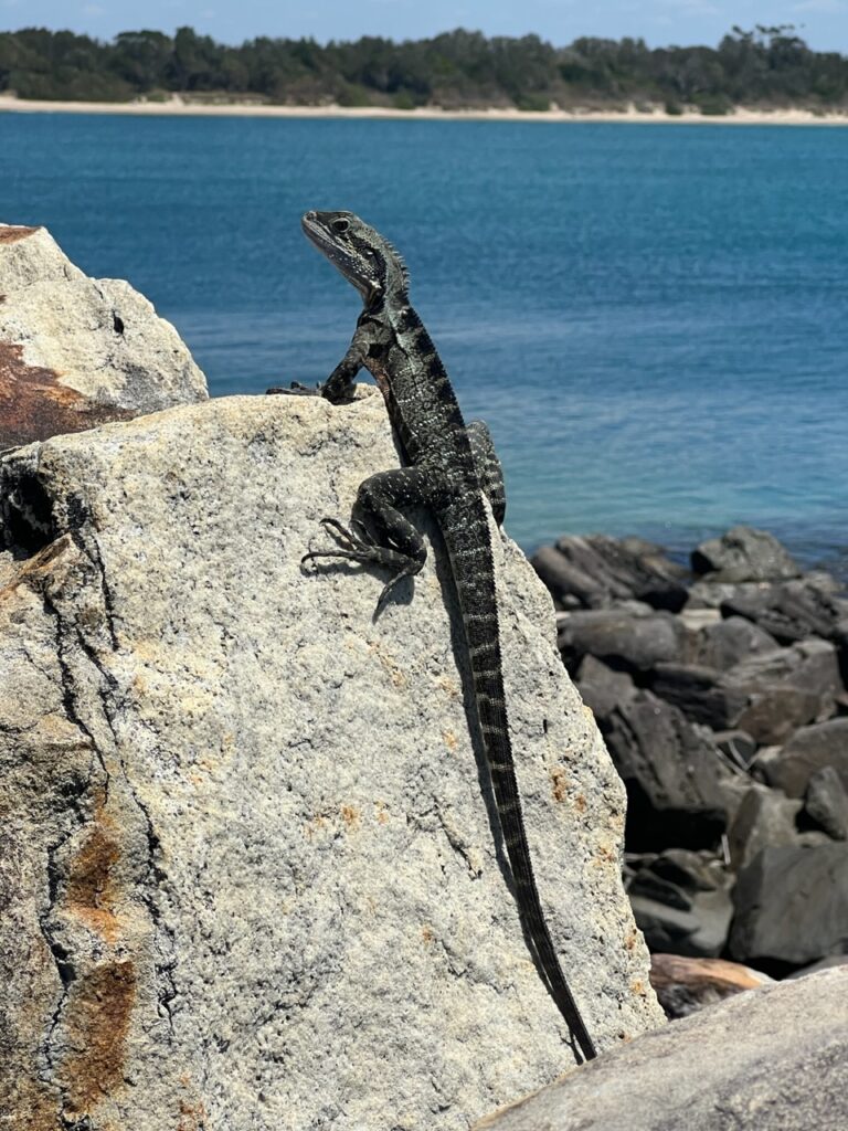
Approaching Lennox Head. Coastal drive was spectacular.Beautiful Lennox Head, just south of Byron. We sat and watched the surfers at this beach for ages.Iluka World Heritage Rainforest Walk. We saw an amazing amount of wildlife here.Yours truly, Iluka.Coastline near Iluka. Saw tons of wildlife on the walk – whales, dolphins, kangaroos, lizards and sea birds.A monitor, Iluka Rainforest.Coastal bird, Iluka.Dolphins at play. We saw many all along the coast.Kangaroos at the end of the rainforest walk, Iluka.Lizard, or goanna ? Yamba jetty.Yamba beach.Kayak surfers, Yamba, the object of some curiosity from a pod of dolphins.
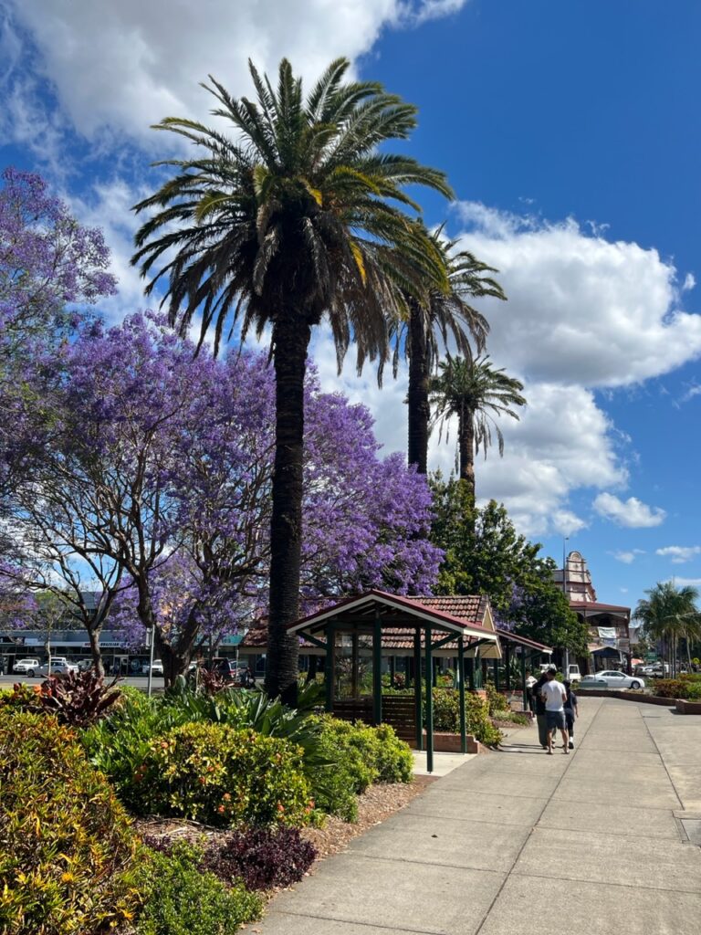
As luck would have it, pretty Grafton – just inland – was in the middle of its annual Jacaranda festival and made for a very enjoyable detour. Row upon row of these beautiful trees all blossoming in lavender! Another (brief) inland diversion we’d much anticipated was the Dorrigo National Park and its rainforest waterfall walks. The walks did not disappoint but a reptile encounter did cause a moment of panic- a few minutes into the walk I almost stepped on a red-bellied black snake resting beside the track. Venomous, yes. Generally deadly, no. As they said to me, “If you are going to get bitten by a venomous snake this is almost certainly one you’ll survive ( there are others you won’t ! )”. En route to Dorrigo one passes historic Bellingen, a prettier town you’d struggle to find. A ton of history, beautifully restored buildings and a nascent cafe culture all wrapped in a very “granola” vibe ( British Colombian’s, think Nelson ! ).
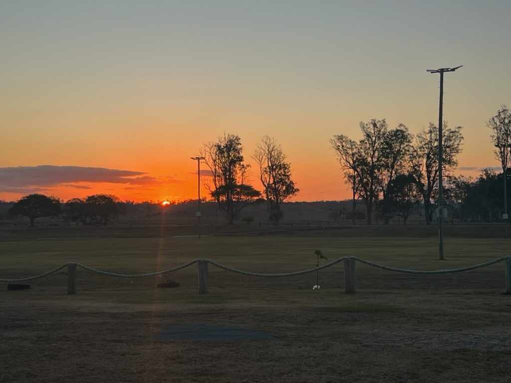
Pretty downtown Grafton, famous for its Jacaranda trees.Sunset, camping in Grafton.Grafton, driving a Jacaranada-lined street. We were fortunate to arrive in the city just as their Jacaranda festival was in progress..
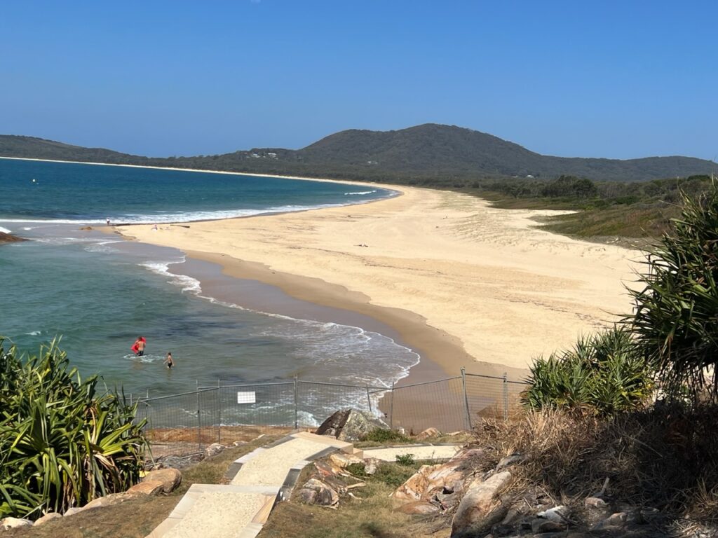
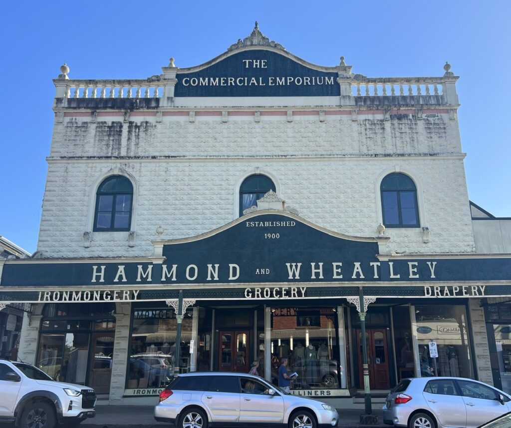
Shocked to realize how close we were to the snake…!Waterfalls, Dorrigo National Park.Classic old department store in Bellingen, kept in immaculate condition.Typical of many great spots we found to sit and enjoy lunch or a morning coffee. Woolgoolga Beach, just north of Coffs Harbour.Woolgoolga, near Coffs Harbour. The coast goes on like this for miles.
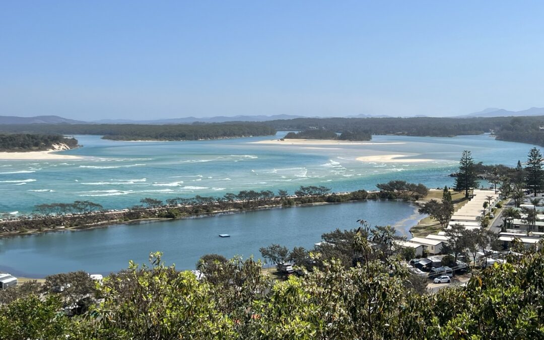
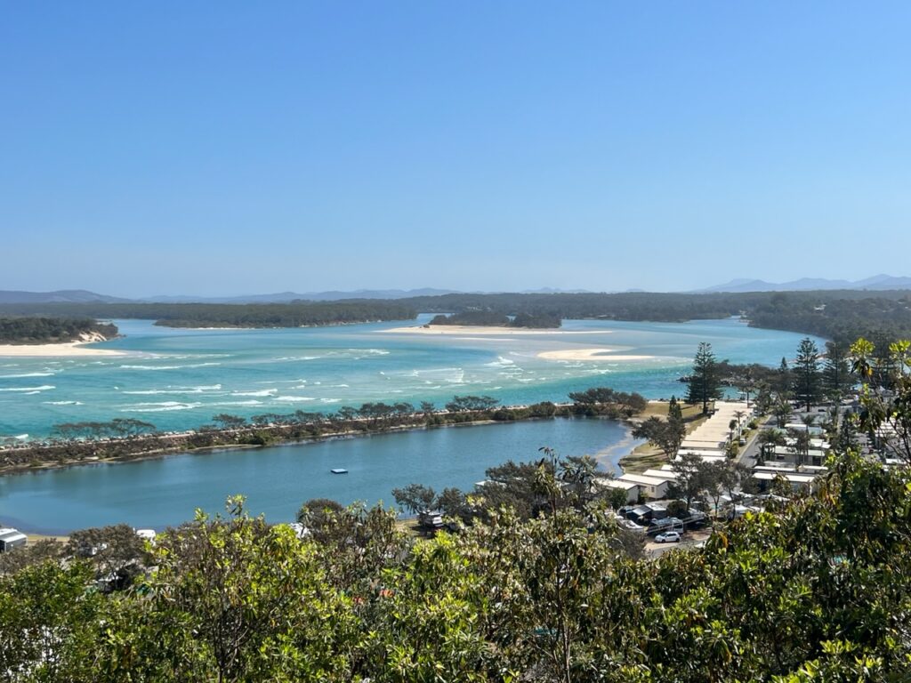
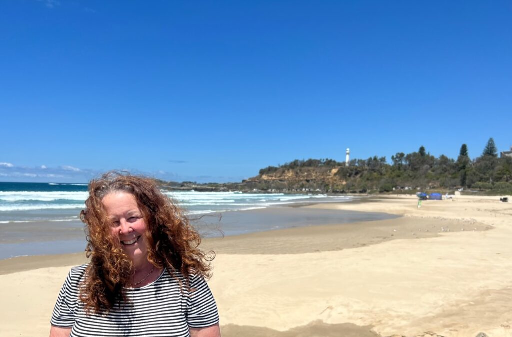
Our travel week ended in Coffs Harbour, another ( and larger ) of the many coastal towns we got to enjoy. Famed for its beaches, jetty, Big Banana, and generally gorgeous views, hilly Coffs ( we were reliably advised ) is the only place where the Great Dividing Range actually comes right to the sea ( it’s somewhat inland elsewhere on Australia’s east coast). A little bit of trivia you may not have known !
Regulars readers with “Gmail” email accounts will recall that, some months ago, we had an issue with Gmail’s spam filters. Seems the good folks at Gmail periodically adjust the spam filter sensitivity ( if that’s the right terminology ) and as a result readers who have Gmail accounts for their email ( almost half of you ! ) will have seen our last weekly blog go straight to their “Trash/Junk” folder. Sadly this seems to be an occasional problem I just cannot eliminate but I am trying to determine if it is something in the blog I post that is the issue ?Meanwhile, when I notice it, I’ll continue to send out a one-off blog like this with no real content, no images and no video other than a link ( below ) to last week’s blog that “Gmail” subscribers did not get in their Inbox. I’ve also included a link to the current blog ( this week’s ) in case it happens two weeks in a row !
As always, should you notice the blog is not there in your Inbox as usual each weekend simply log into our website ( www.OneEndlessRoad.com ), scroll down to “Recent Posts” and there you’ll see whatever you may have missed.
The PanAm completed in April, 2022 and with the truck camper sold, we shipped our new Sprinter van to Australia in late 2022. We travelled there through all of 2023 and into 2024 before shipping it up to North East Asia where we travelled for 4 months between Korea and Japan, before shipping it back to North America. It’s our plan to continue exploring the world in 2025.