Welcome back to our blog, we hope all our readers had a wonderful Christmas – we sure did.
Our November/December “visiting grand-daughter in Canada (Lois)/doing van maintenance in Temora (Jeff)” hiatus gave us a wonderful opportunity in fact to do both those things – that said, one could always use just a bit more time as you never seem to tick quite every box on your list.
One of the more precious pictures of our new grand daughter, Hadley. Lois spent most of her “Canada-time” with our new bundle of joy. She was very hard to leave !
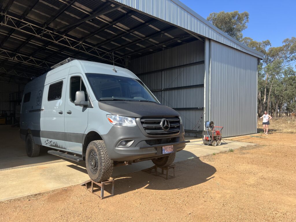
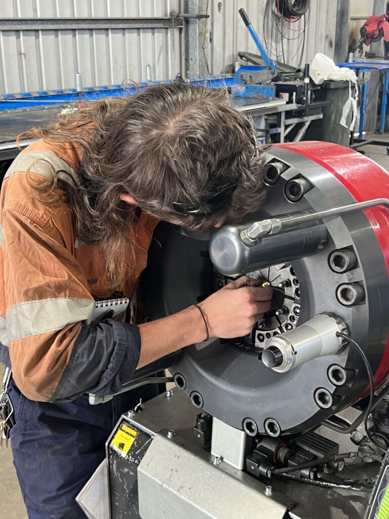
In the time leading up to Christmas, with Lois in Canada, my weeks were mostly spent cleaning, repairing and replacing parts on the van along with a couple of short ( but wonderful ) visits with old friends and other family members. The lion’s share of that time was spent, as planned, in “Hangar 19” at the Temora Airpark. I was very happy with the tasks I was able to tick off my list and incredibly grateful to my brother ( and his wife ) for hosting me and, quite literally, giving me free rein with his tools, workspace, and – especially on the many hot days – unfettered access to their pool ! I said, only half jokingly, that if I was asked to design a place to spend a few weeks just to get all this stuff done, I would have designed exactly what they provided ! Spacious, flat, covered, secure, powered….and with the refreshing pool to boot. Bliss…..!
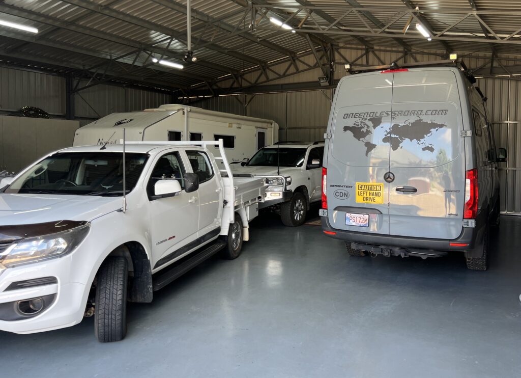
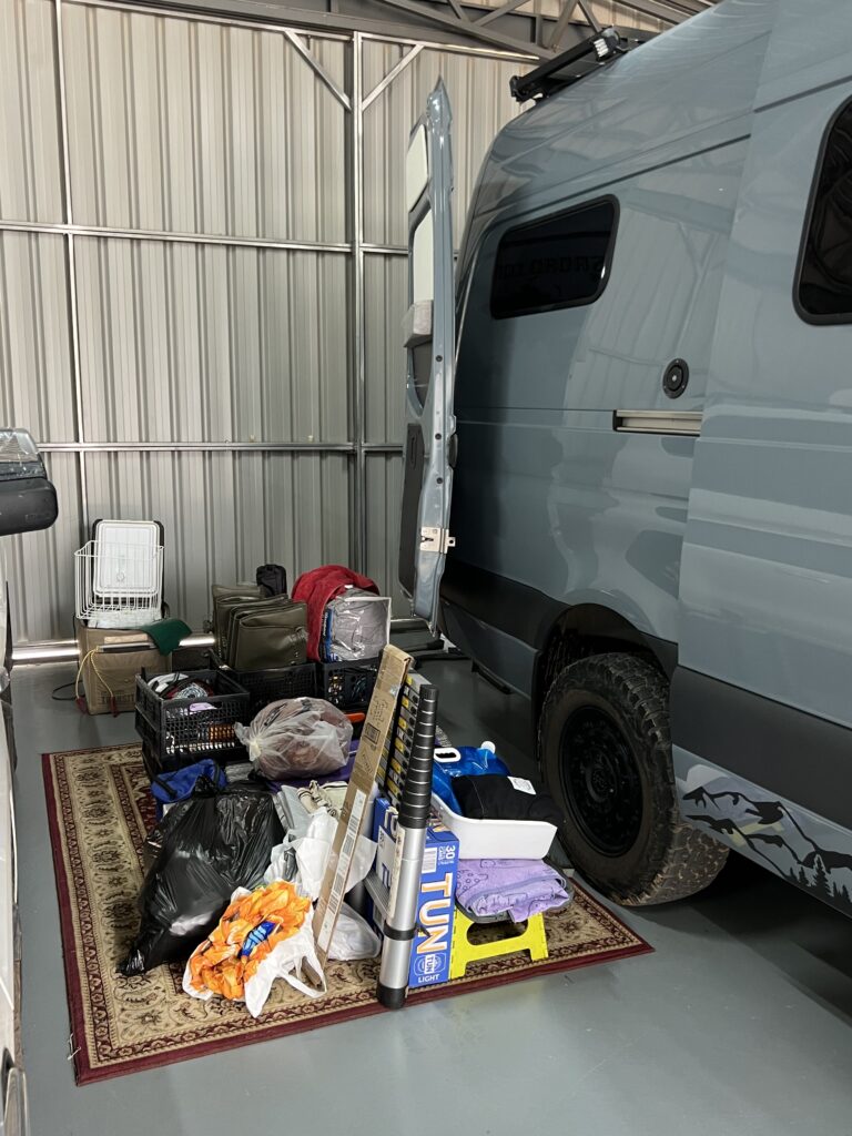
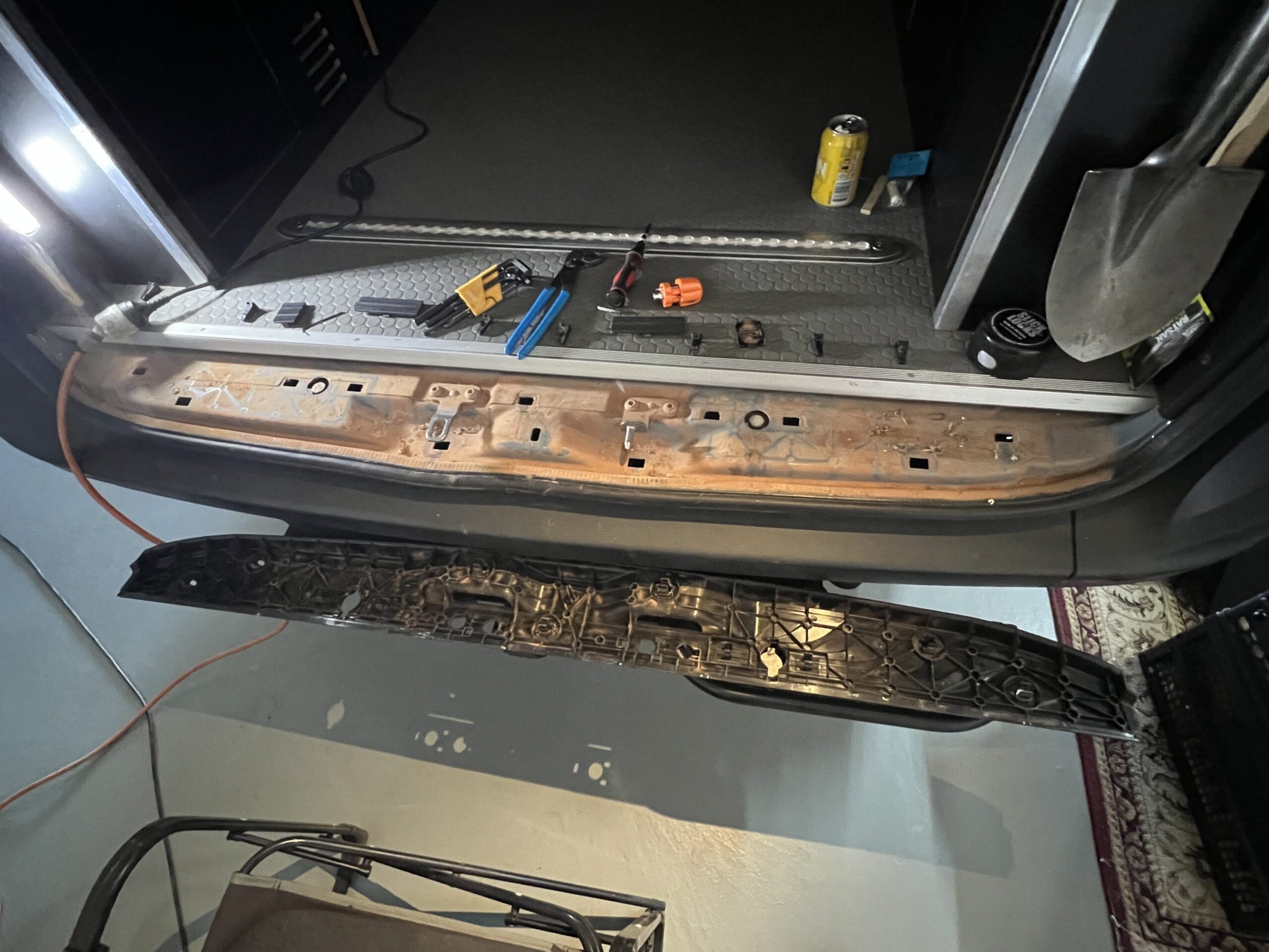
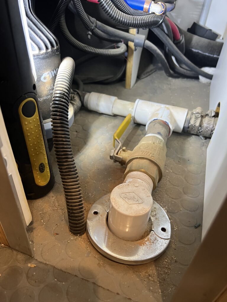
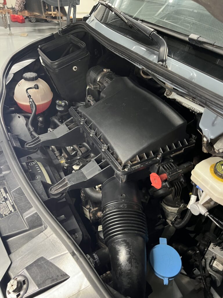
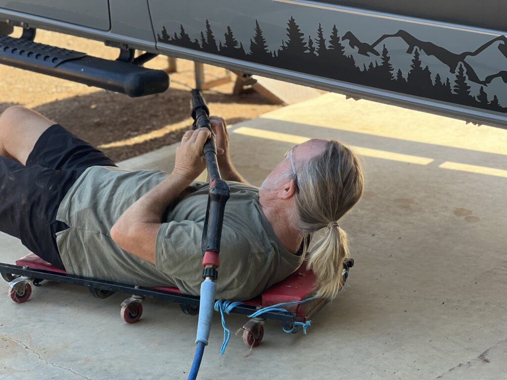
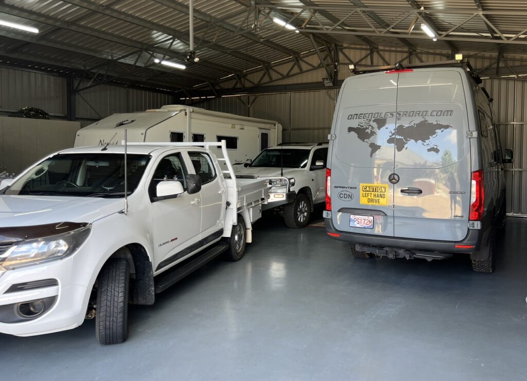
Plenty of room for all the vehicles in Hanger 19 !With a lot of cleaning (and some minor repair work) to be done in the van’s “garage” area, it was most helpful to be able to take everything out from inside creating a clean, clear work area. We also realized we carry a lot of stuff we never use !Rear door sill, removed, cleaned and replaced. The outback red dust gets everywhere.Plumbing connections behind the shower attracted lots of dust. All spotless now.Engine bay now like new !My niece, Eloise, kindly provided me some ramps and a high pressure washer to clean the underside of the van. That outback red dust was everywhere !With the hose.
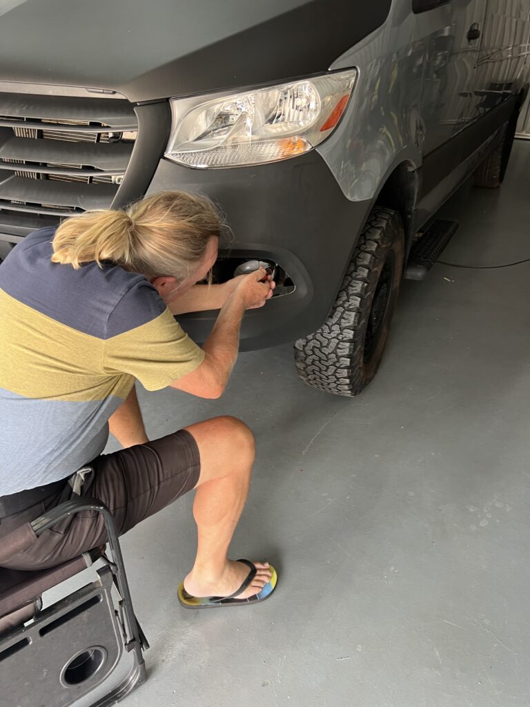
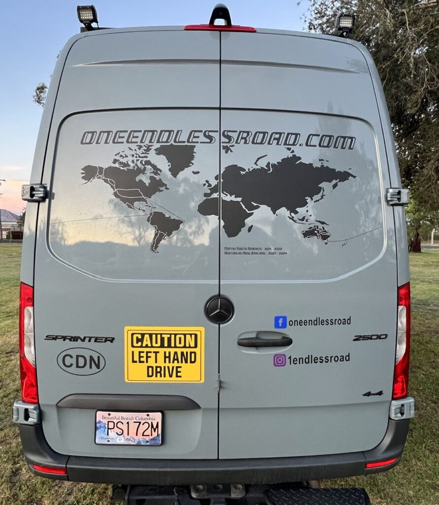
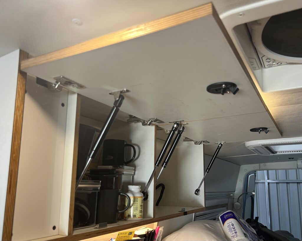
Some serious cleaning needed !Driver’s side front fog light, smashed way back on the Cape York track, had been taped up as an interim solution. Replaced with a new light while in Temora.We’d been asked countless times “Why the world map and no route marked out ?” Well, the dots and dashes took a looooong time to do but now our route is visible ( another Temora job ! ). Black dashes mark the vehicle trips by sea and the white dots mark where our vehicles have been driven. Over 100,000 kms driven yet so much “blank canvas” still remains !While all the cabinetry was completed before we left Canada, I ran out of time to install the gas struts that hold the doors up. Very finicky to install, but all done now. No more holding them up with one hand while searching for things inside !
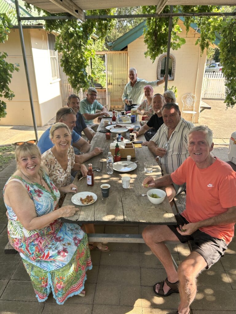
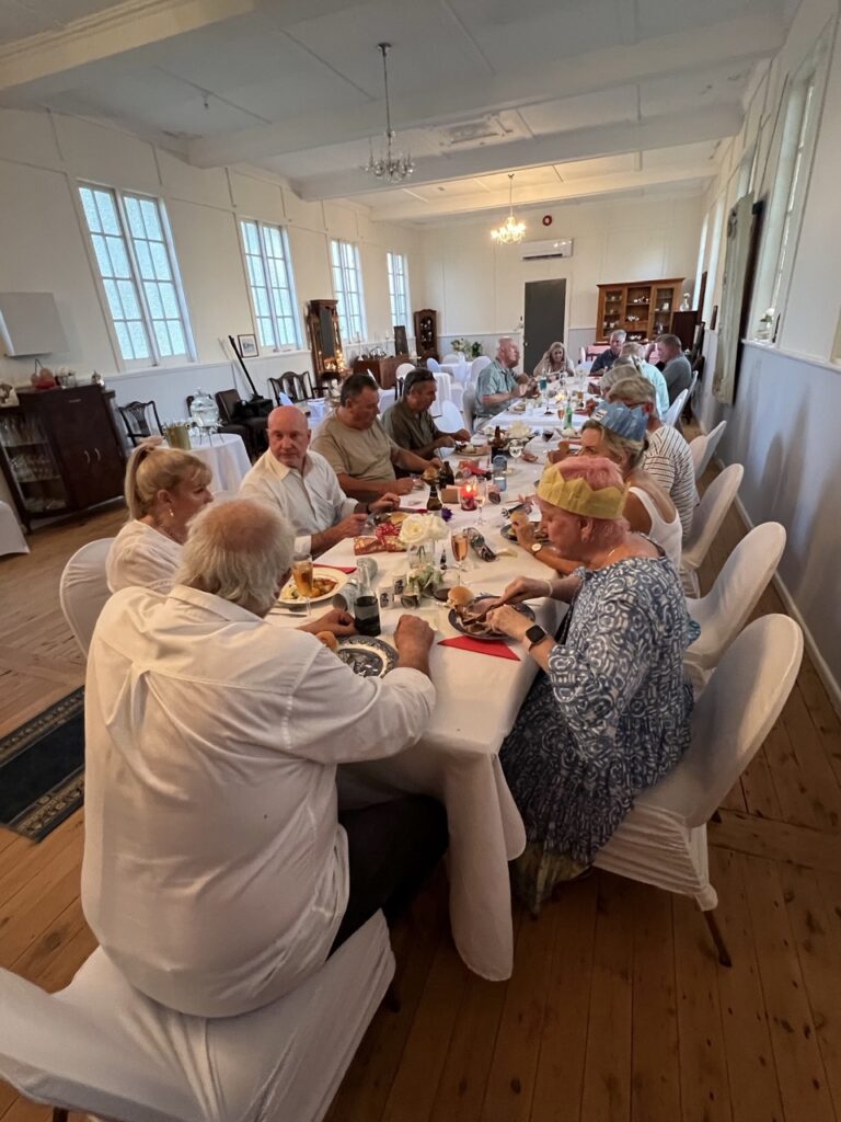
During my time in Temora I headed off to a dear old friend’s home in nearby Canowindra for a get- together of old school friends (about 22 in all) giving me an opportunity to catch up ( in one location ) with old friends, many I’ve been able to stay in touch with but with a handful of others I have not seen for 44 years – yes, some serious catching up was done. Thank you Maria for putting it on. Fabulous time !
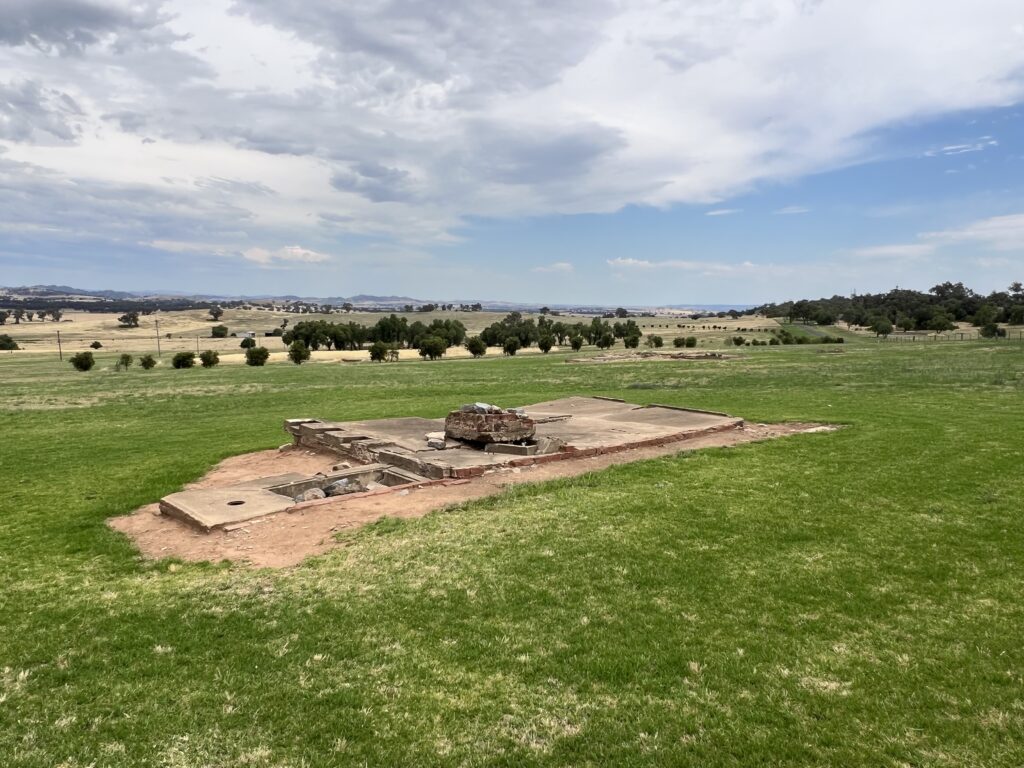
Just over 100kms from my home town lies Cowra, famous for a prisoner of war camp that held Japanese and Italian prisoners during WW2. An ill-fated breakout occured during 1944 and a memorial to the event, along with remnants of the camp , can be seen on the edge of town. I stopped in on the way to Canowindra.Some remnants of the camp.Just some of of our old friends who came together for a reunion (of sorts). A wonderful time was had by all thanks in large part to our wonderful host, Maria ( front left ).…and the evening dinner ! A banquet, no less.
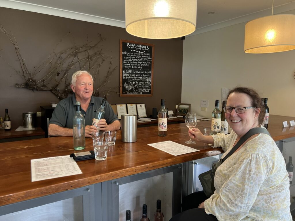
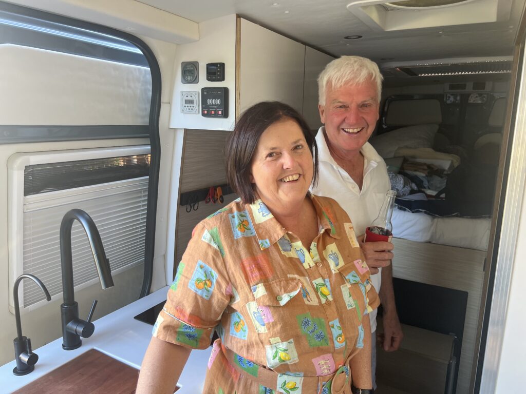
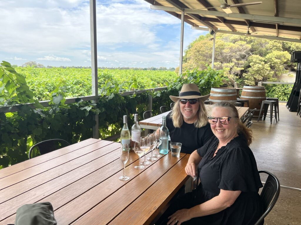
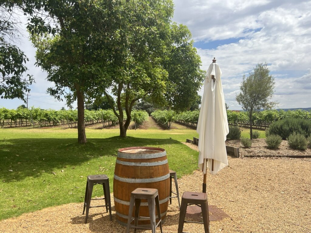
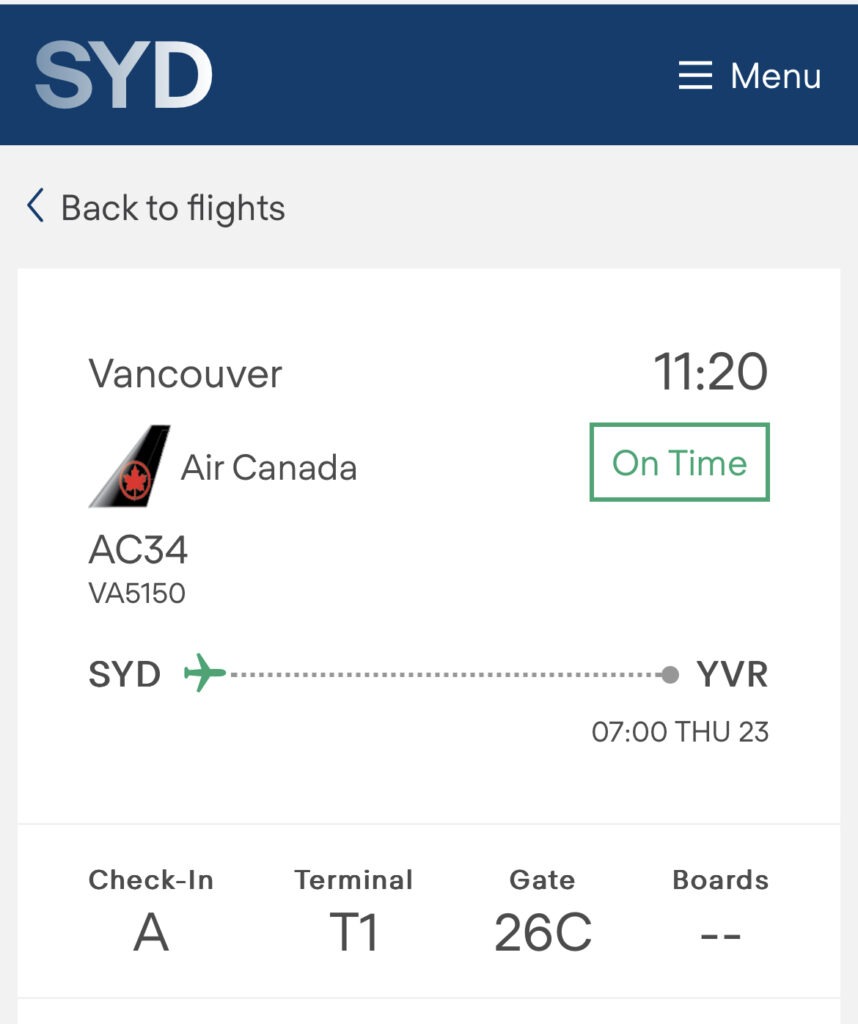
Just prior to Christmas I drove to Sydney to pick up Lois who, despite veiled threats to stay home with the new baby, did in fact fly back to Oz 😊. That flight, as usual, was long and tiring – an hour from our home to Vancouver by plane, a 4 hour wait for the connecting international flight, then 14 hours in the air across the Pacific to Sydney. Never an easy one. Back together in the van ( now all cleaned up ! ) the plan was to make one final visit to my hometown of Forbes but not before taking the scenic route via the charming ( and thriving ) little town of Mudgee, one of Australia’s newer wine regions. Famed for their excellent products, we put that reputation to the test visiting 3 of their better known vineyards. Indeed, they make some great product !
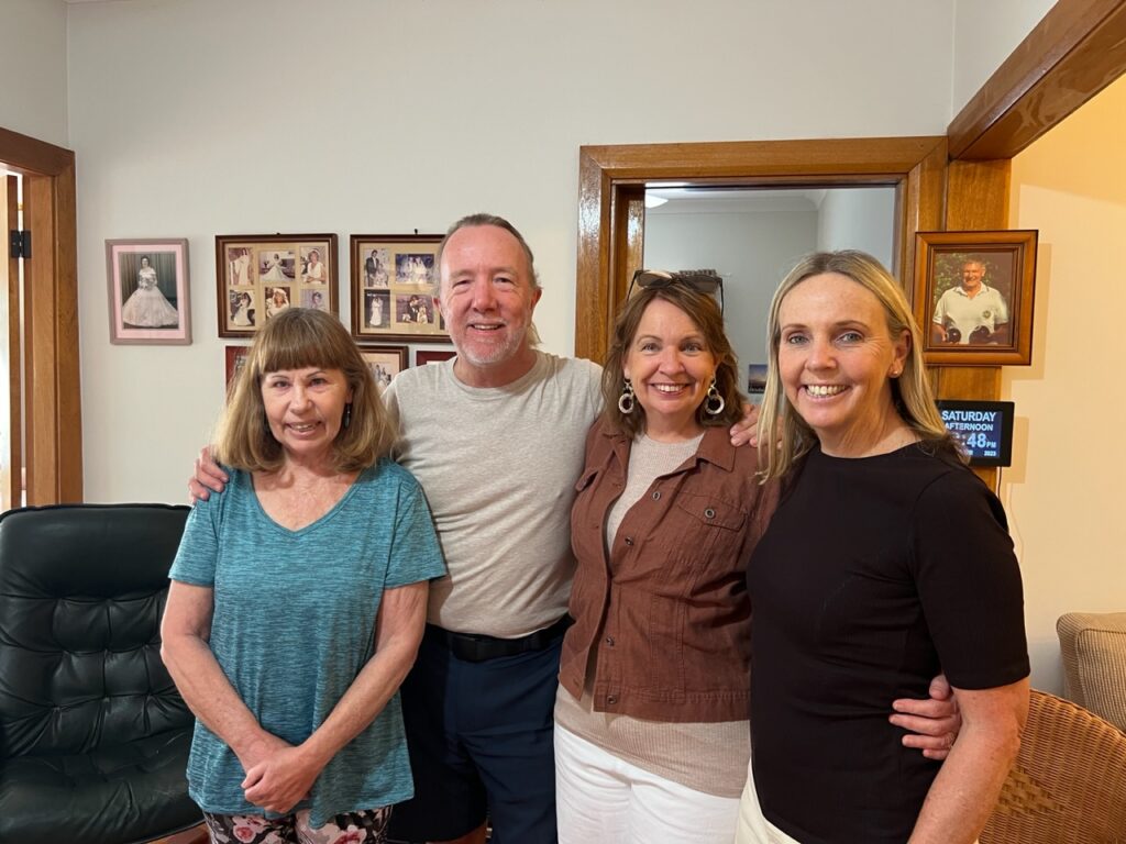
Burrundulla Winery, Mudgee, just one of three we sampled.I’d needed a rather unique ( imperial measure ) plumbing part which I was struggling to find since everything is metric in Oz. While wine-tasting in Mudgee I chanced upon a machine shop that actually fabricated one for me ! Never underestimate the creativity in our small towns.Managed to fit in a quick visit with old friends Sue and Jim while passing through Parkes.
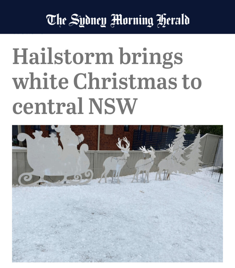
Christmas in Oz is hot, and for Europeans and North Americans used to a traditionally cold ( and often snow-covered ) Christmas, that heat can be a bit hard to get used to. This year however, in a small town ( Grenfell ), not far from us in Temora, folks woke up to a surprise “White Christmas” of their own: :
A freak hailstorm in Grenfell on Christmas Day gave the impression of a “White Christmas”
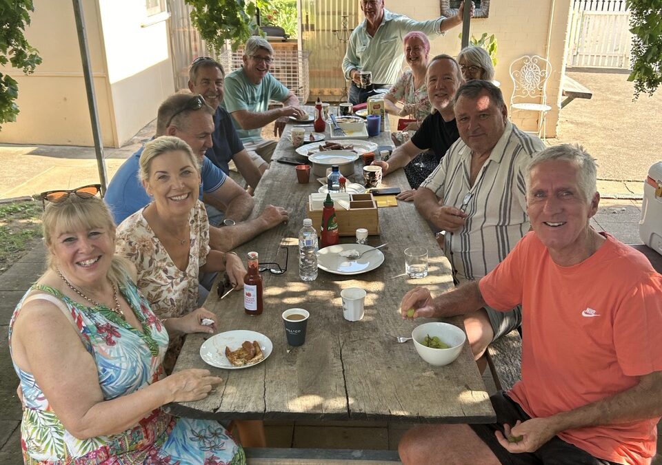
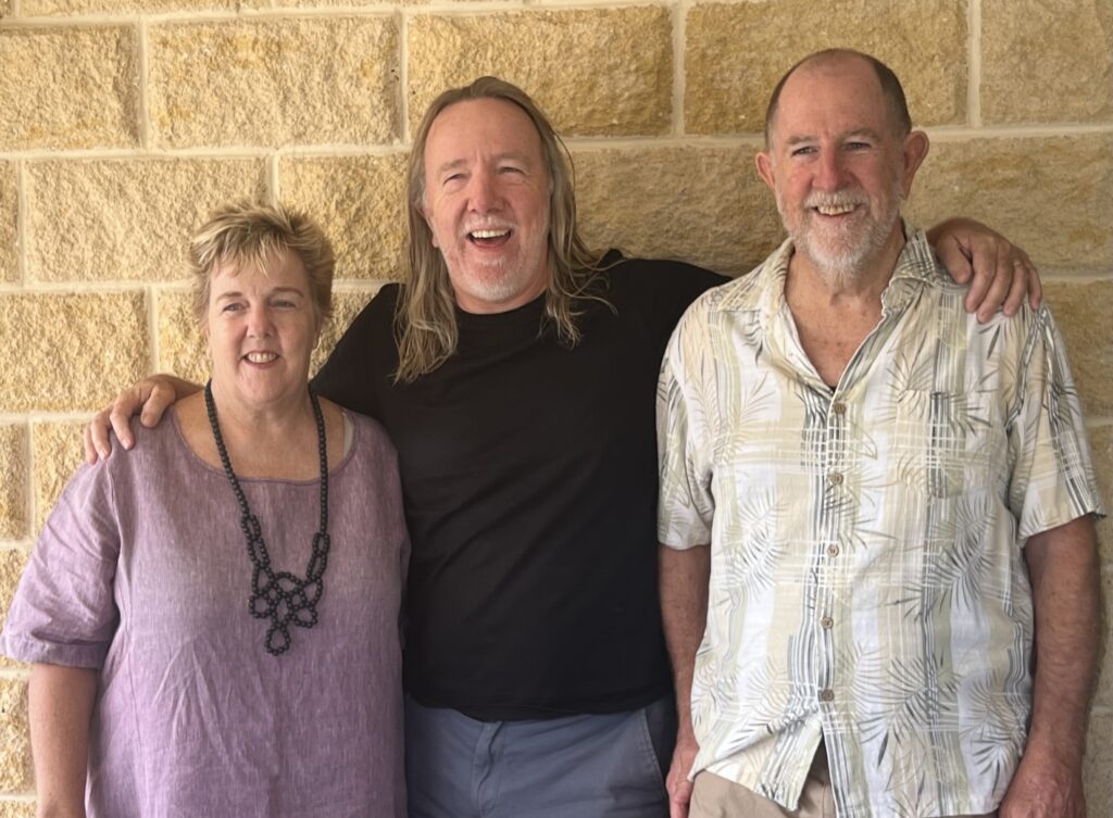
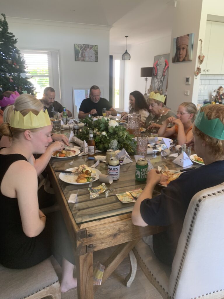
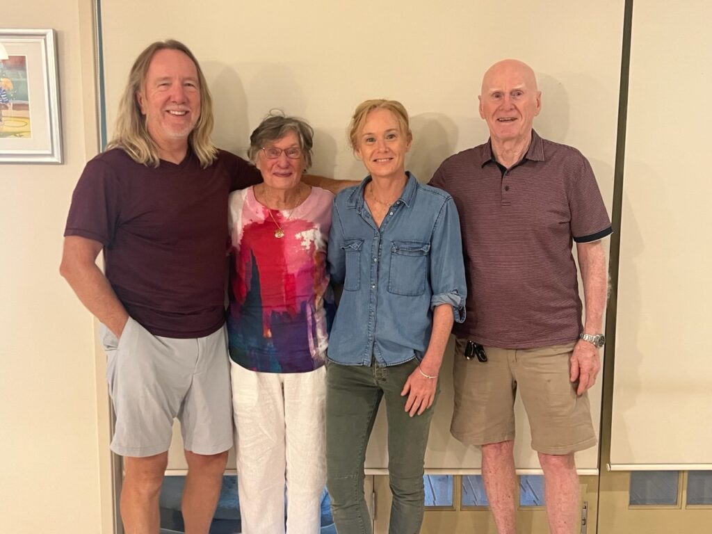
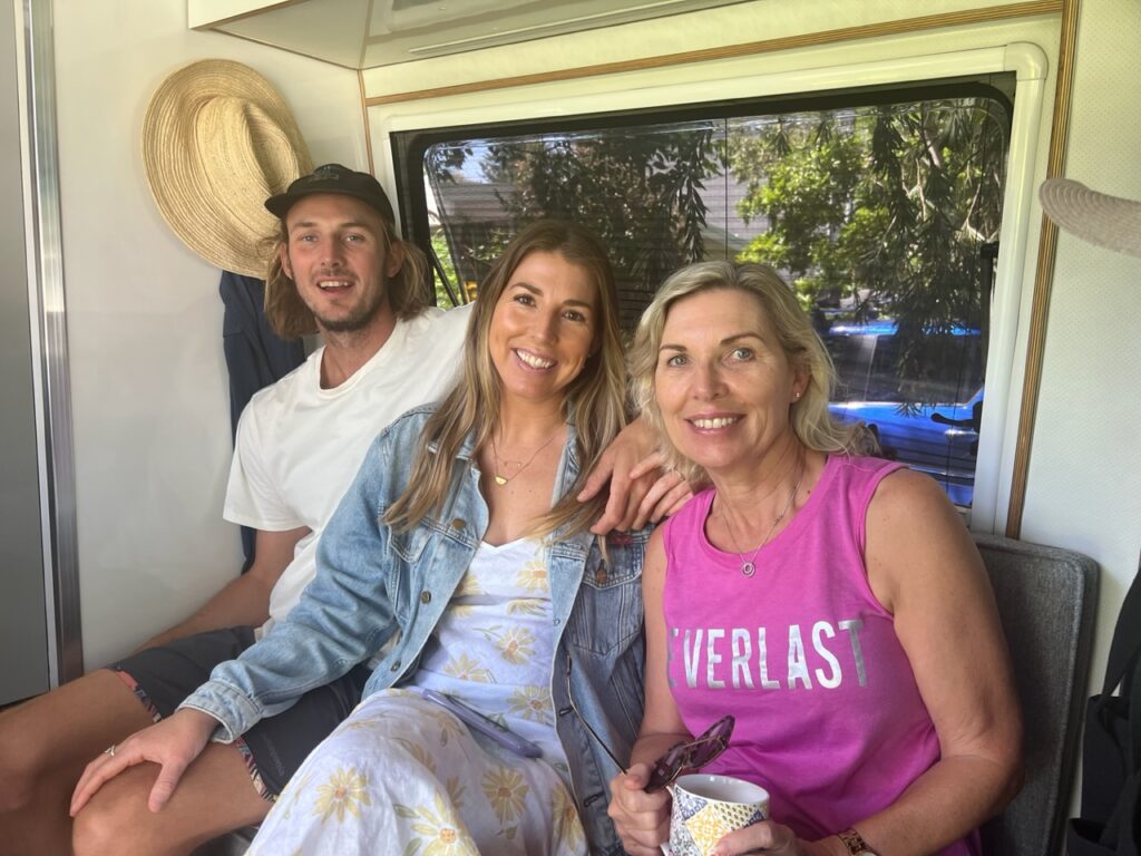
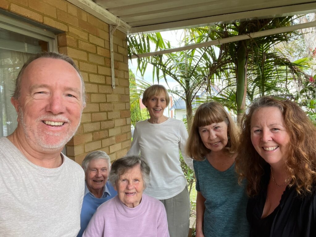
No such White Christmas in Temora but it was a wonderful one nonetheless. With Lois back just in time to join us, my younger sister joined Lois and I, and my older brother and his family for an absolutely delightful time. The tyranny of distance makes such reunions rare so this year’s Christmas was a extra special.
Younger sister (Karen), myself, and oldest brother (Ian).Christmas in Temora.
Ian’s son, Darryn brought the family pet parrot to Temora – a South American Quaker. It regaled us all with its ability to speak 😊
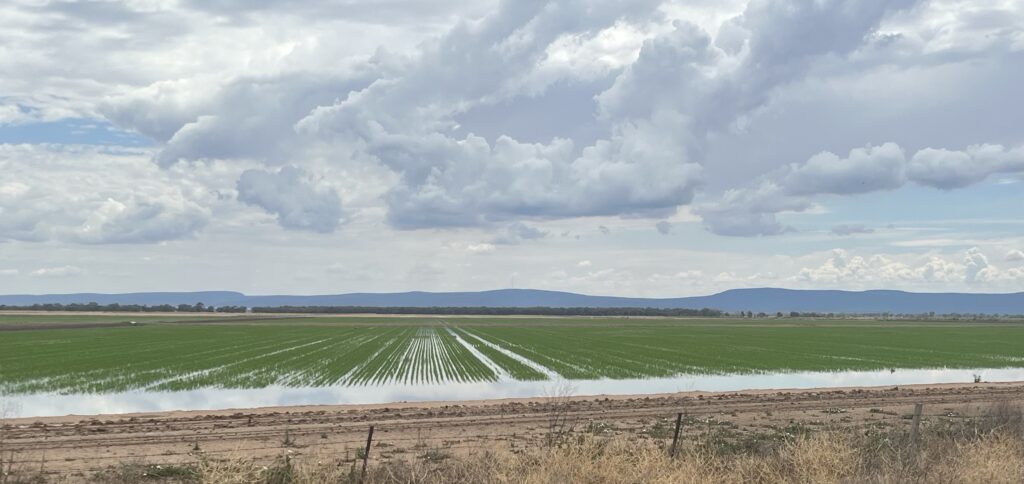
Wheat harvest in full swing while I was in Temora. It was a great year.
All good things must come to an end, though, and it was with a real mixture of emotions that we pulled out of Hangar 19 to continue our travels on Boxing Day – it had, I must confess, begun to feel very much like home ( always the sign of good hosts !). The coming days will see us head back towards the state of Victoria with the ferry scheduled to take us to Tasmania early in January ( a trip which is 12 months overdue ! ).
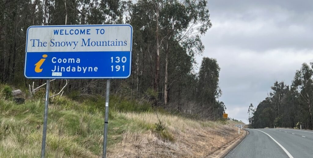
Crossing briefly into Victoria from Eden one passes through the area known as East Gippsland – pretty, forested, but otherwise quite remote, our route took us on to Cann River before heading north up into Australia’s famous Snowy Mountains region. Now, it was late November ( and hence, almost summer ) so our expectations were “managed” as to how much snow we’d see ( we glimpsed a bit ! ) but regardless of the scarcity of snow, it’s simply a beautiful area with a unique look given it’s obviously higher elevations.
Alfred National Park, East Gippsland, Victoria.The Snowy Mountains.
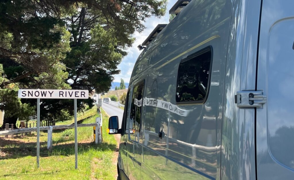
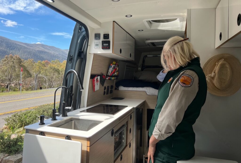
We paused as we crossed the Snowy River itself. Readers may remember an iconic Australian movie “The Man From Snowy River”, based on the poem of the same name ( written by legendary Australian, AB “Banjo” Paterson).Entering Kosciusko National Park, the Ranger wanted to check out the van ( she was building one herself ). We happily obliged.
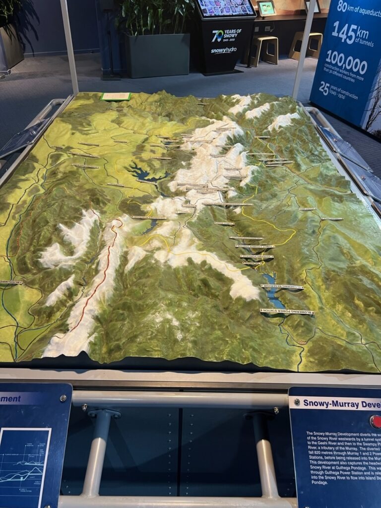
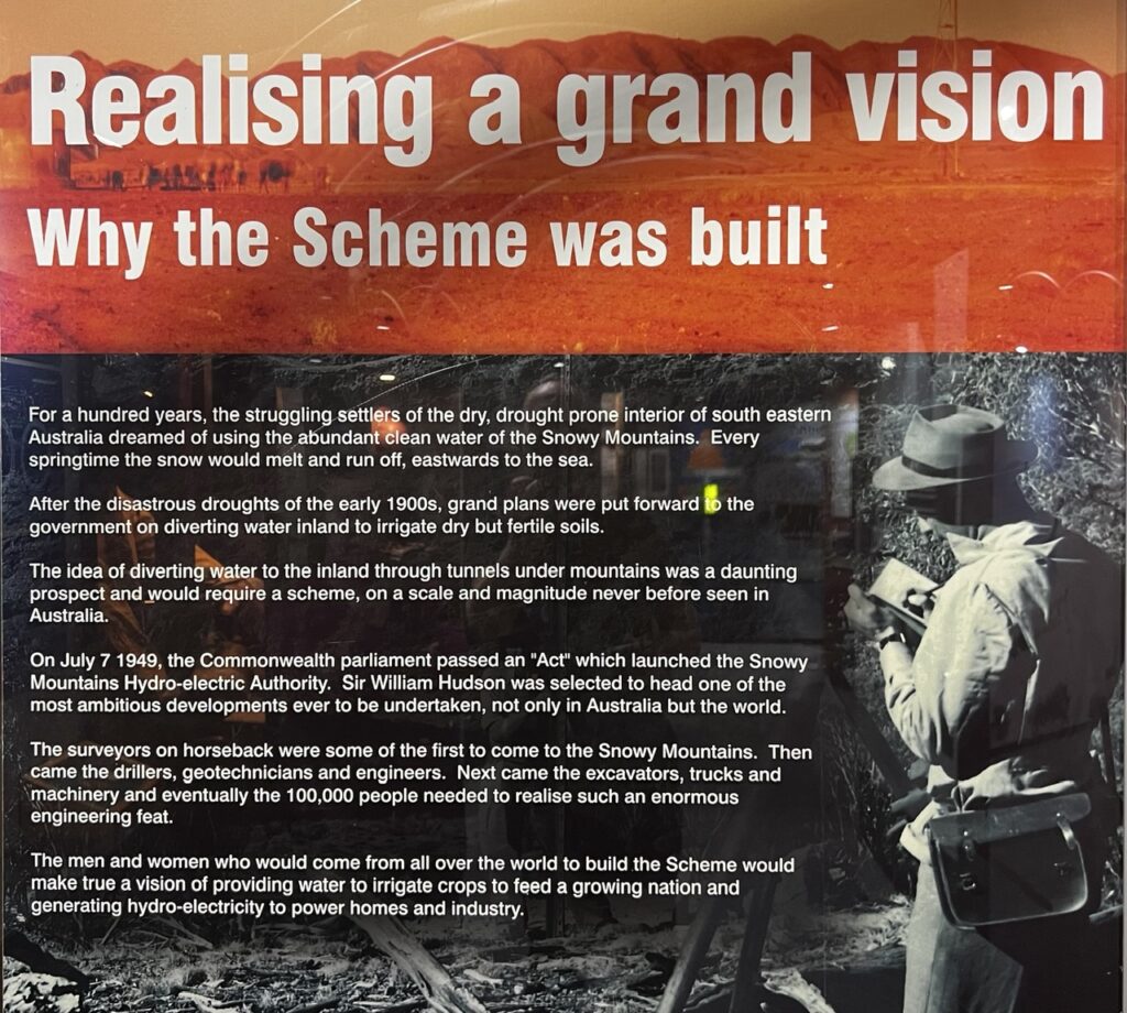
There’s a distinct alpine feeling to this whole area. Home to most of Australia’s best ski areas, “The Snowy” as it’s known locally, is also home to ( what was then, in the late 1940’s ) Australia’s largest engineering feat, the Snowy Mountains Scheme. A massive undertaking that would require 25 years to complete, it’s basically a gigantic water diversion program ( via dams and giant tunnels ) built to harness the power of water from the snow runoff for both irrigation and the production of power. Every Aussie kid learns about it in school ( we did back in my day, anyway ! ) and its enormous demand for skilled labour was a catalyst for early waves of European immigration into Australia in the immediate post-war era. A fascinating museum tells the story in Cooma, where the scheme is still administered. Sadly, due to high winds while we were there, we were not able to take the chairlift to the Mt. Kosciusko viewpoint ( from which one can do the 13km return hike to the actual summit, Australia’s highest point ) – a real disappointment. A shorter, lower valley hike was the next best option but we may get another crack at Mt. Kosciusko on our way to Tasmania in the new year.
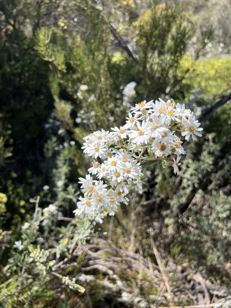
Wildflowers, Thredbo hike.
Ski lift employee apologizing for the chair closure – and we were all kitted out, ready to tackle it !Snowy Mountains Scheme display at the museum in Cooma.The “why”…………..and the “how” !
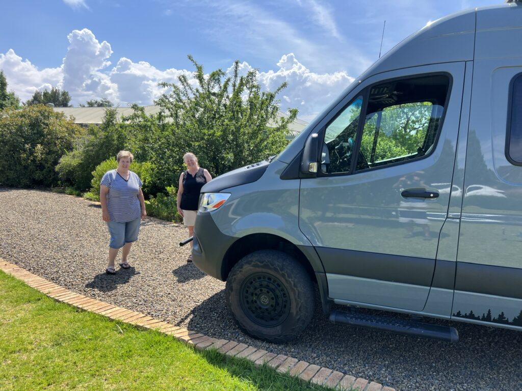
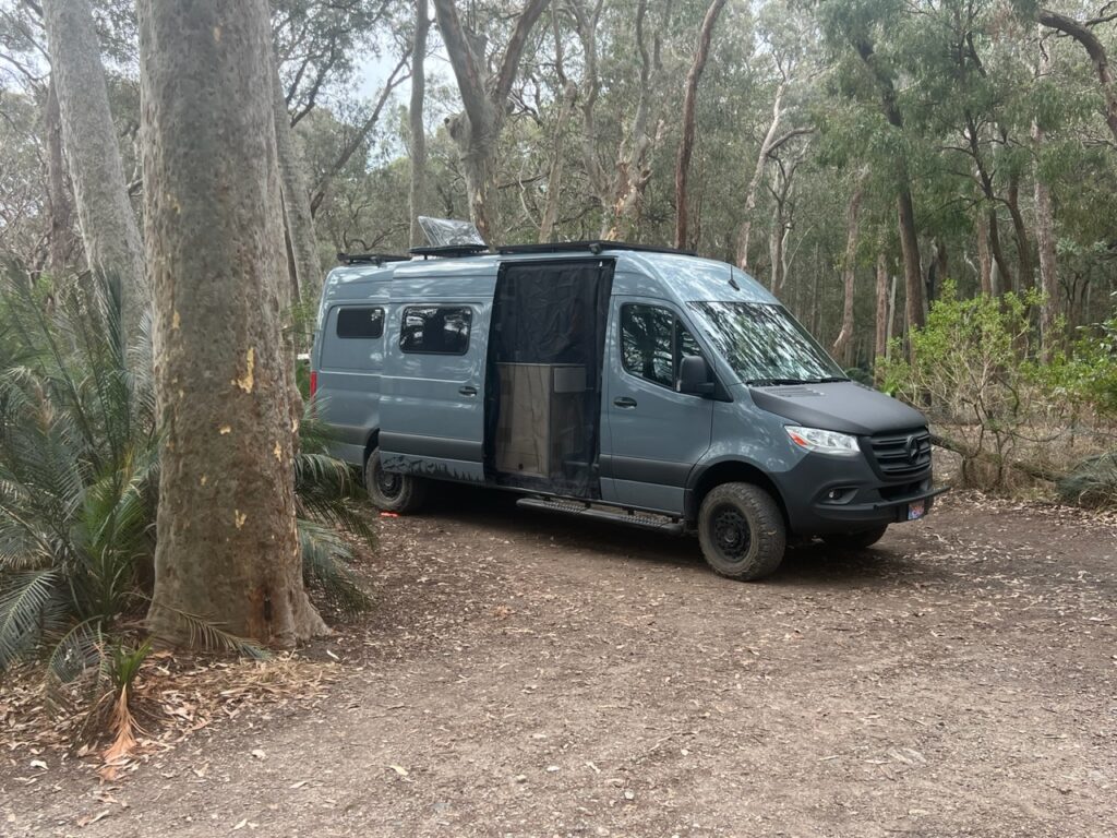
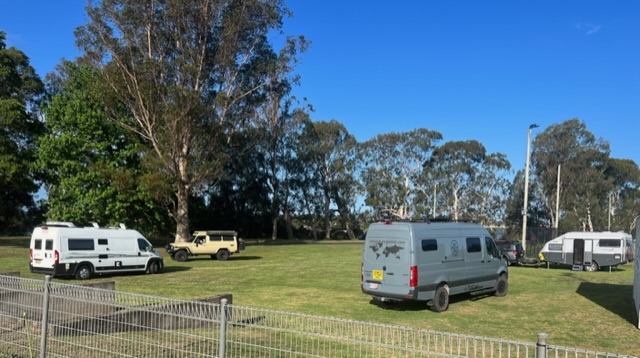
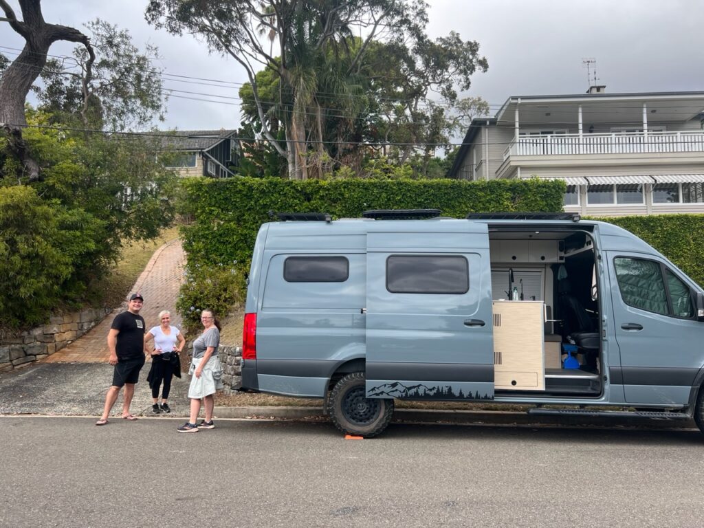
Our plans from the Snowy Mountains took us north through Canberra then west out via Wagga Wagga to parts of the Riverina, our interest primarily being to explore some of Griffith’s great wineries given that our turn inland from the coast had delivered the improved weather we were seeking – not hard to enjoy Griffith’s fine wines ! Circling back to Forbes ( sort of our home base in Oz ) a quick visit was made with family before driving on to Sydney where this segment of our Australian adventure goes on “pause” for a few weeks. Lois is flying back to Canada for a few weeks ( missing our new grand daughter too much ! ) while I head back to Temora to join my brother and his wife. I’ll be borrowing their hangar ( regular readers may recall they live in an airpark ) to park up the van and do some long overdue cleaning, general maintenance, minor repairs and a few ( very minor ) redesigns. I need space, a flat concrete floor, a roof over my head, access to tools and power – and they have it all !
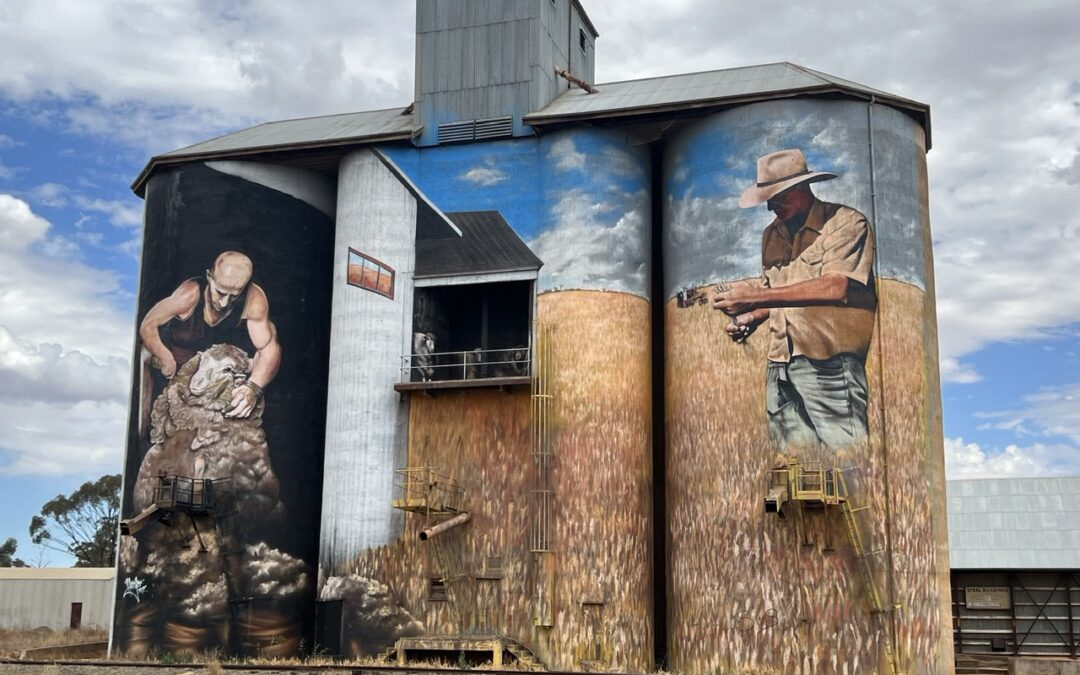
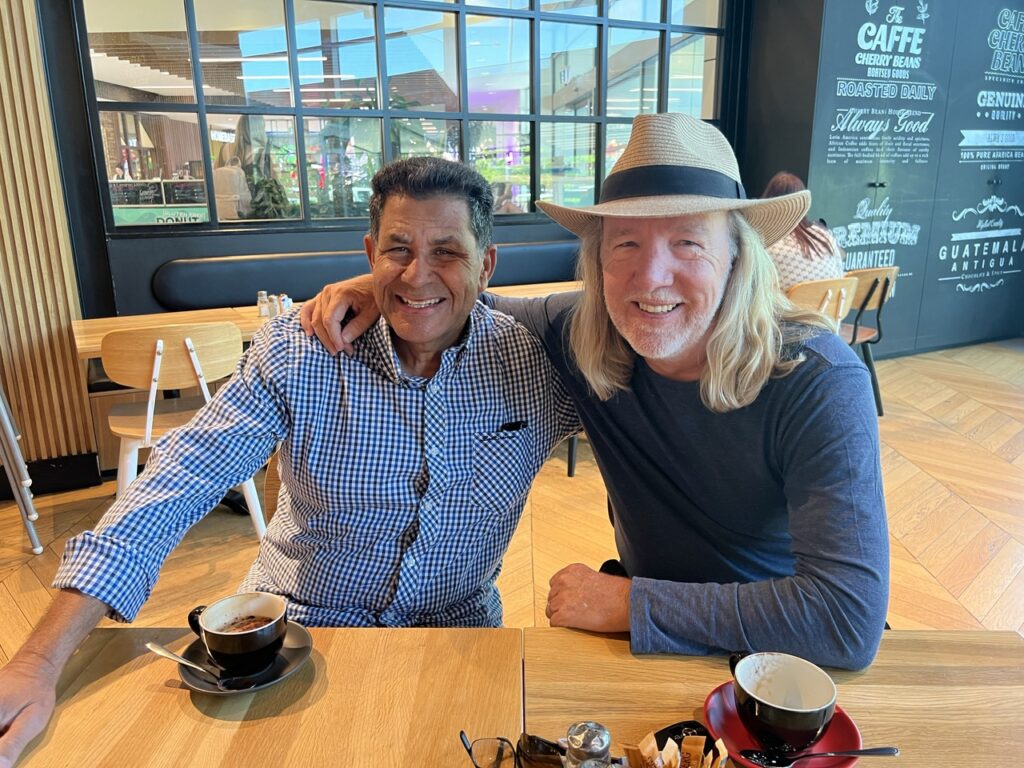
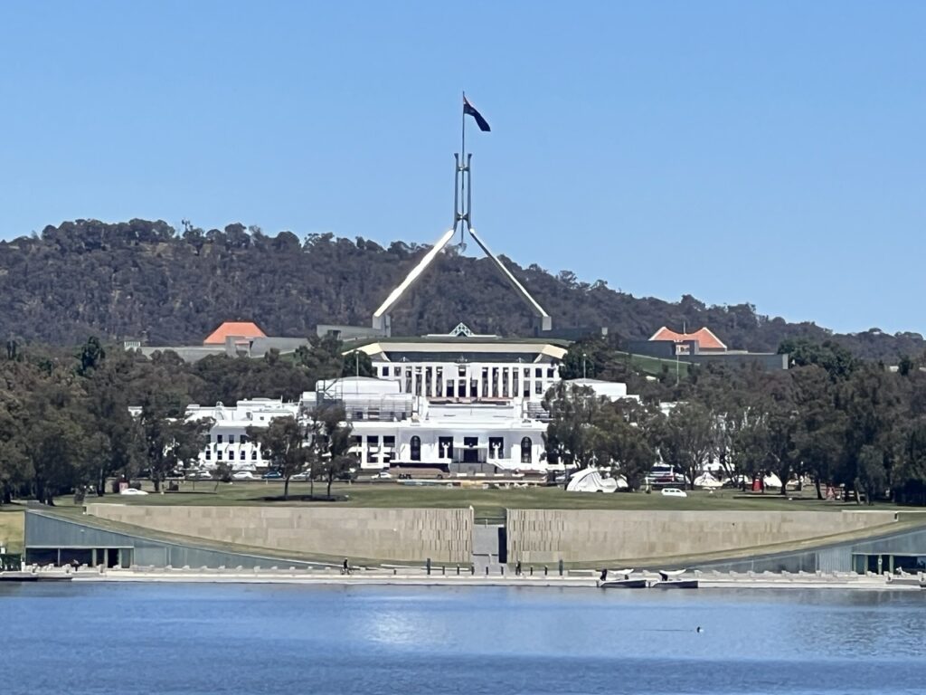
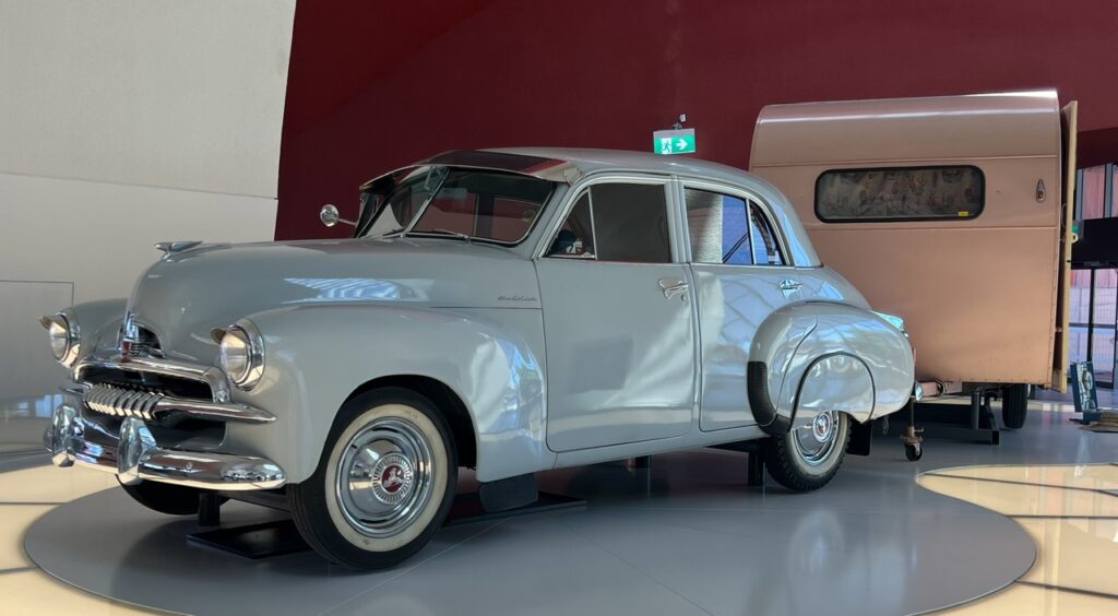
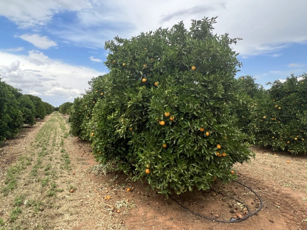
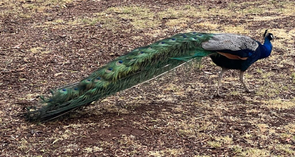
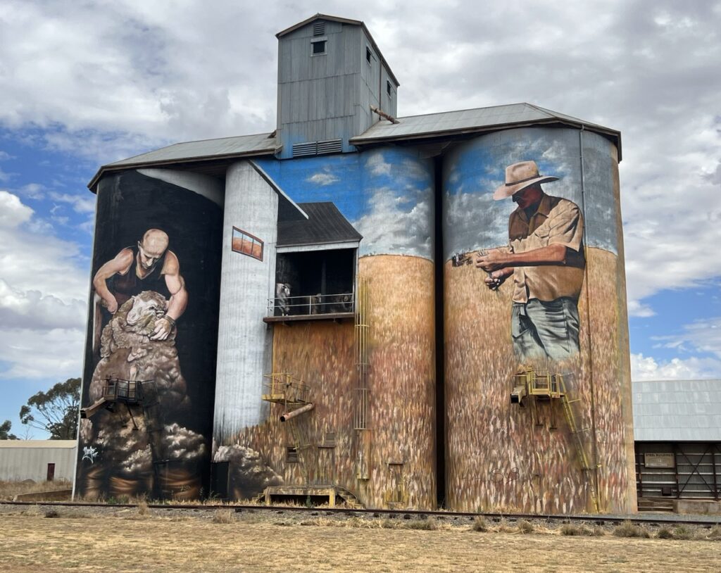
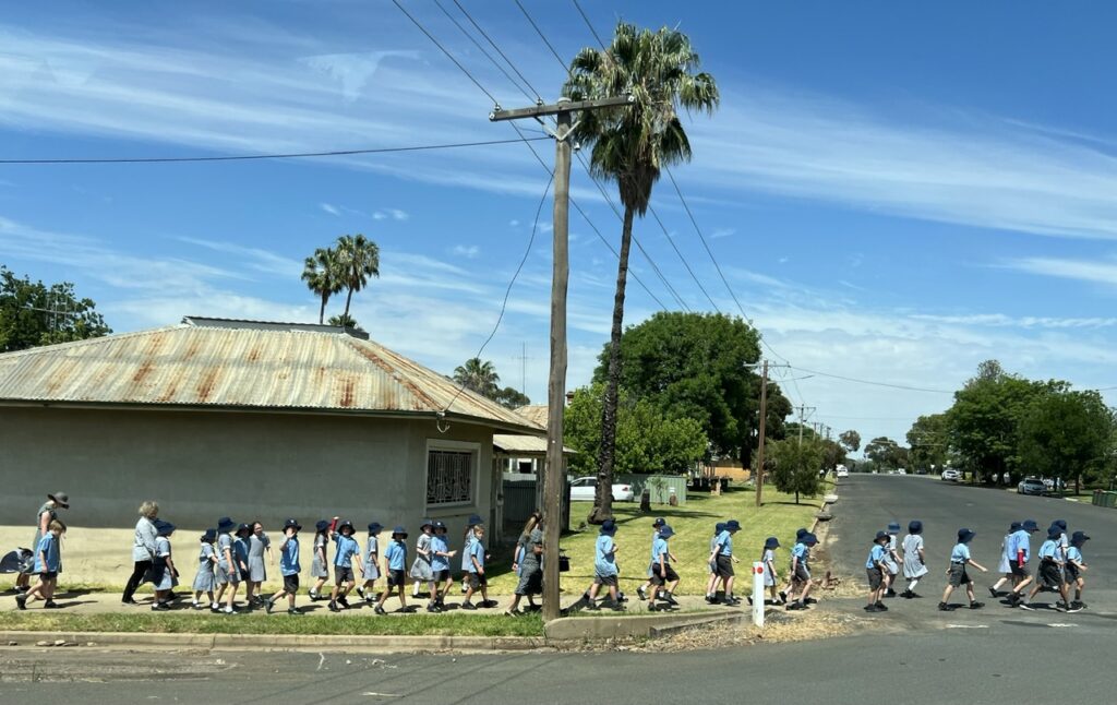
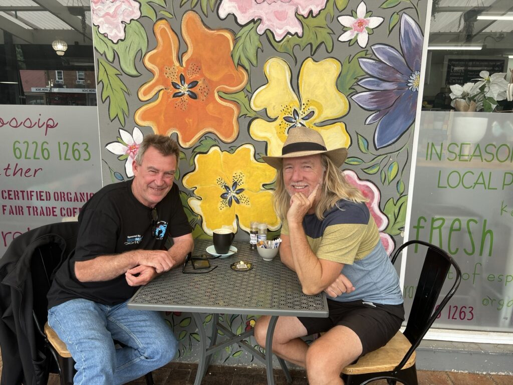
It was wonderful to catch up with my old mate Ian Martin while passing through Canberra.Canberra this time was a bit of a blitz, us both having visited in the past. Here passing Parliament House ( old Parliament House in the foreground ) seen behind Lake Burley Griffen.We’d not seen the National Museum of Australia before so visited this time. Lots of “Australiana” and a great display on indigenous history. Here, one of the the first Australian – made cars, a Holden ( with a very early model caravan ).Visited two Griffith wineries but Yarran was definitely our favourite.The setting at Yarran was beautiful.Griffith not only produces excellent wines, but also rice and oranges from its fertile soils. The Riverina area is one of Australia’s most productive agricultural areas, thanks in large part to water from the Snowy Mountains Scheme.Rows and rows of orange trees in Griffith.We were visited by this beautiful peacock while camping in Griffith.Weethallie silo, one of best examples of silo art we’ve seen.A brief pit stop in Forbes ( my home town ) with my sister, Karen.Driving down the street I grew up on always make me a bit nostalgic -seeing school kids in uniform ( from my old primary school ) really brings it home !A long flight home to Canada for Lois, but at least it was direct ( and not a milk run ! ).Great to catch up with another old school mate, Steve – here enjoying a coffee in Yass on my way from Sydney to Temora. It had been more than 40 years !Home for the van for the next little while – the hangar in Temora. I am truly fortunate to have access to this, a wonderful spot to do necessary maintenance, cleaning, and to replace a few parts – thank you Ian and Anne !
We’ll re-start the blog just after Christmas at which point we head south ( via the Victorian coast ) to Melbourne and then on by ferry to Tasmania – our last Australian state. We want to thank our readers for following along with us in 2023 and sending us all your comments. Both Lois and I wish you all a very Merry Christmas and Happy New Year !
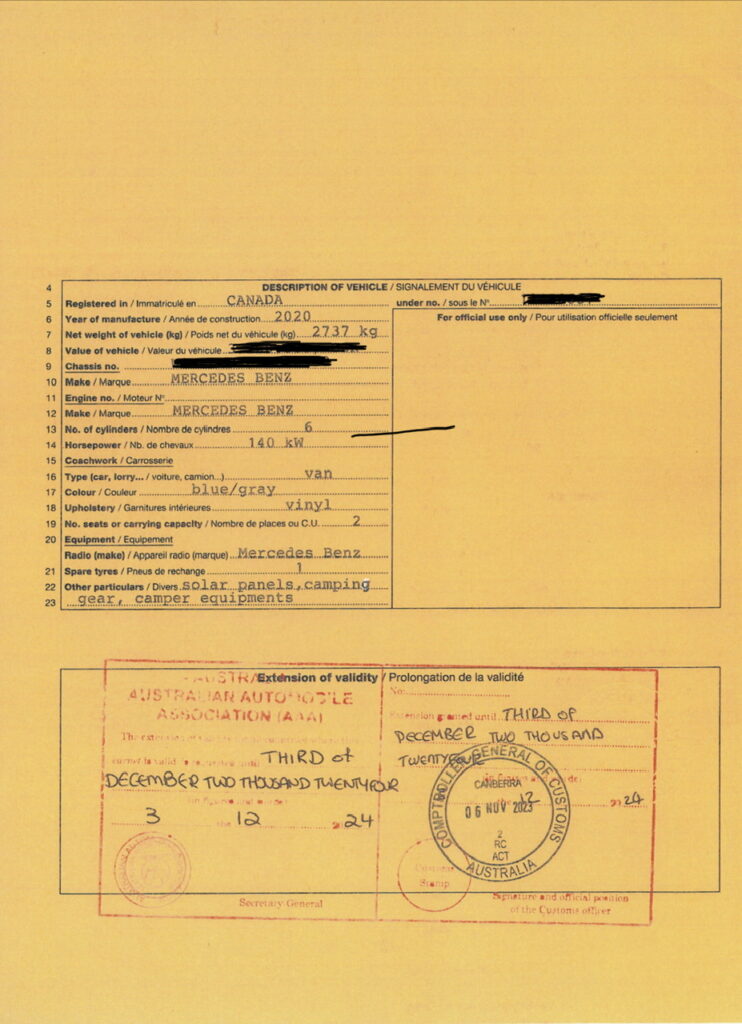
Prior to leaving Sydney there were a few developments ( some good, some – well, certainly disconcerting, if not exactly bad ) with regard to future travel plans in our van beyond 2023 ( precious little of which remains – where did this year go ? ). Our Carnet ( the “visa” for our vehicle effectively ) is expiring in December and an extension request had been submitted to AAA in October – this, fortunately, was approved so we are now good to keep it here until December, 2024 ( if we wanted that is – we actually plan to ship it out early in 2024 but that at least gives us peace of mind in the event of any shipping delay ). On the not so good news front, it’s becoming obvious that shipping out may not be as easy as we had hoped and as a consequence of that ( you guessed it ) also somewhat more expensive than we’d hoped. More on that as we get more detailed pricing to hand but for now we need to keep our plans, shall we just say, “flexible” !
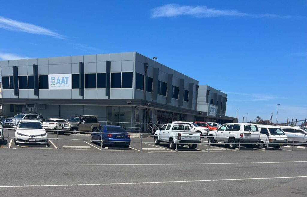
Popped into the port of Port Kembla ( effectively Sydney’s port ) to check on current port delays. We were assured that “things are improving” 🤔. Here’s hoping…….Carnet ( vehicle “visa” ) has been renewed till December, 2024. Nice to have that approved.
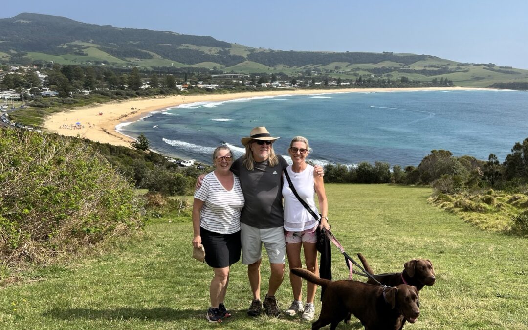
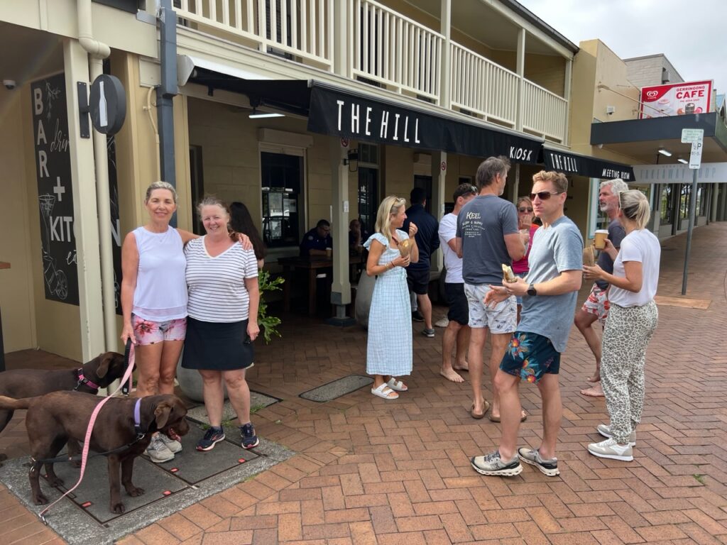
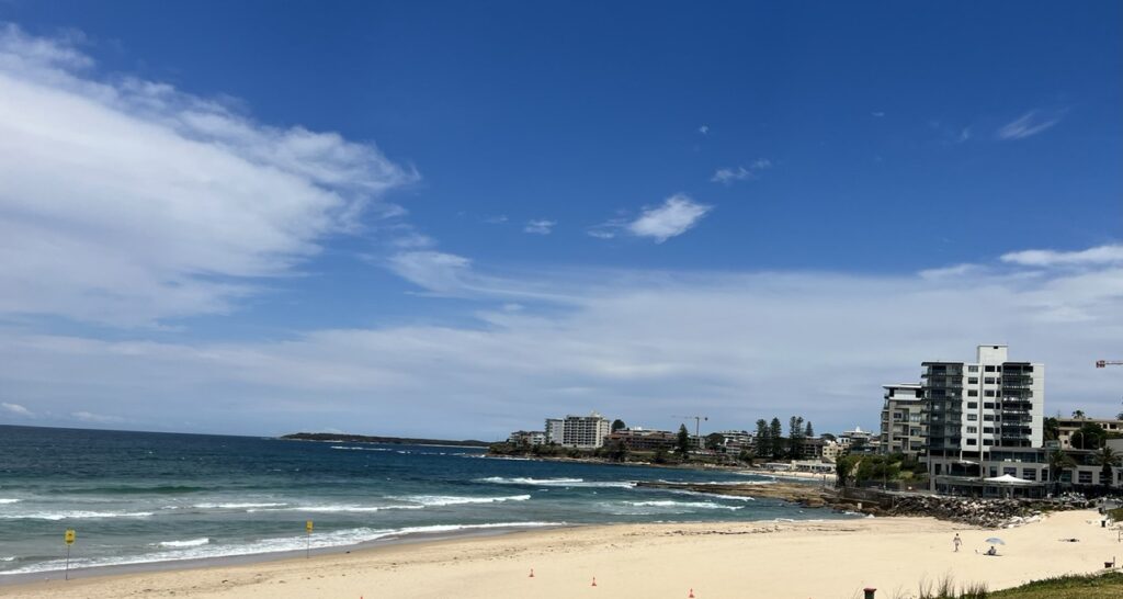
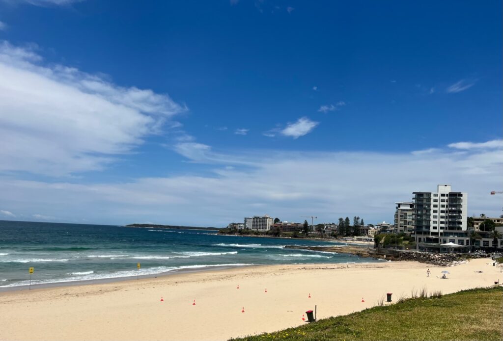
The plan heading south in NSW was to stick pretty close to the coast and after a leisurely drive through Stanwell Tops, Port Kembla and Kiama we caught up with long time school friend, Sonya, who is blessed to be living in Gerringong, a town which must surely be one of the real gems of the South Coast. It’s a great little community, greener than Ireland ( currently anyway ! ) and with amazing beaches, wineries, farms as well as a host of hip little local eateries and cafes – a sort of, southern Byron Bay without the crowds. Loved our time there and also got to catch up with relatives, Elaine and Barry. Easy to see why they all love this town!
Been playing with a few apps that animate travel routes. Helps give a perspective to the route taken.View of Stanwell Tops from Baldy Hill Lookout.Kiama Blowhole – this was our third visit and we have yet to see any water coming out of the blowhole !Snuck in a quick visit with relatives Barry, Elaine and Michelle while in Gerringong.Werri Beach, GerringongView of the stunning green countryside from the Gerringong hills.Sonya, daughter Lauren, and her boyfriend Brandon checking out the rig.“Someone” got a 60th birthday treat from Sonya !Enjoyed sharing the morning walk and coffee routine with Sonya. Ditto.
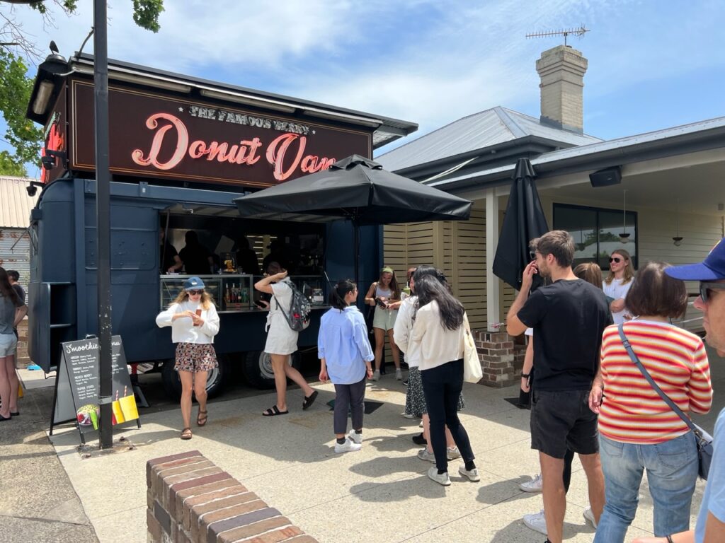
“The Famous Donut Van” in Berry.
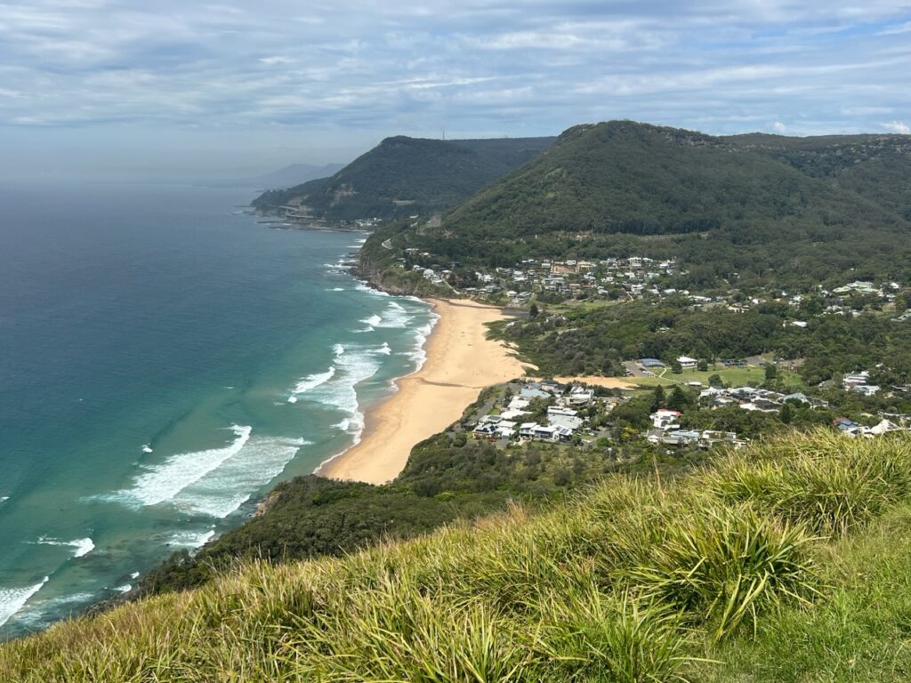
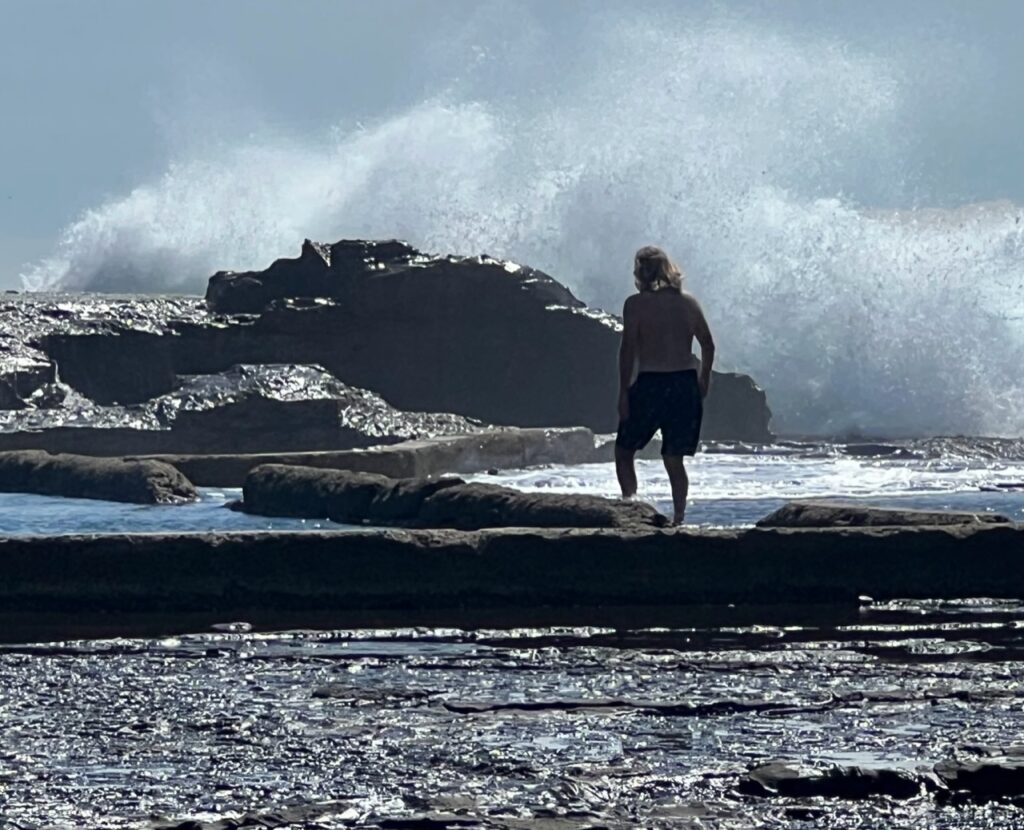
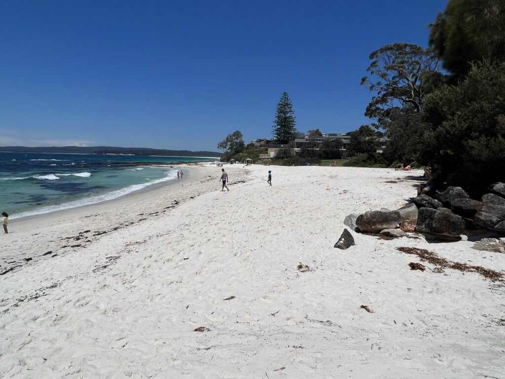
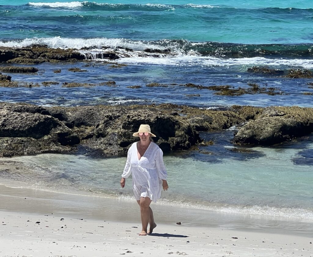
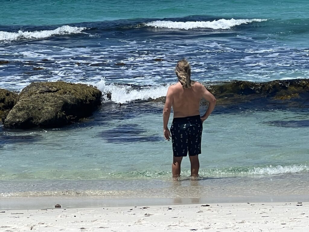
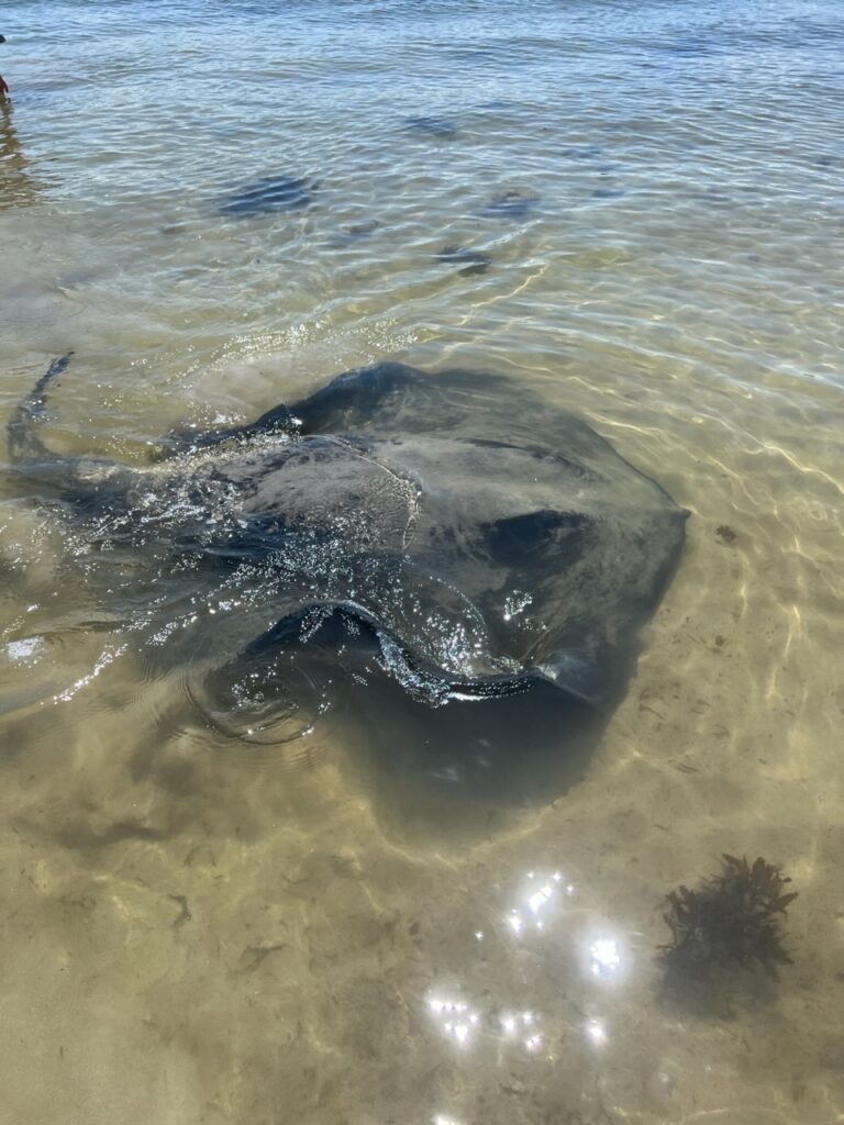
Just south of Gerringong is the Jervis Bay area, hugely popular with summer holidaymakers and already getting busy with the summer “season” still over a month away. There were two places we wanted to check out – Hyams Beach, famed for its pristine white sand, and, just a little further south, Bendalong beach, known for the huge manta rays that swim right up to the beach. Neither disappointed – but if you want to feel something really creepy, allow a giant manta ray to swim up beside you in shallow water and rub against your leg. Harmless, we were assured !!
Hyam’s Beach, famed for its white sand, but……..….the water was too cold for Lois.I didn’t get much further….!A huge manta ray at Bendalong Beach, south of Nowra.
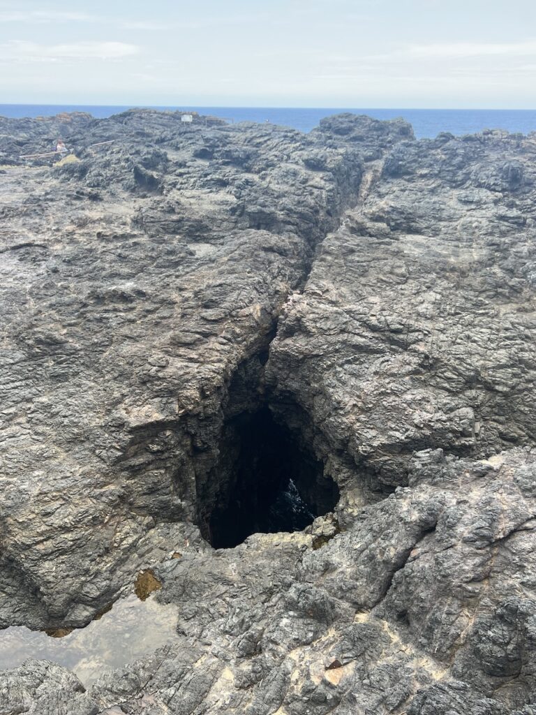
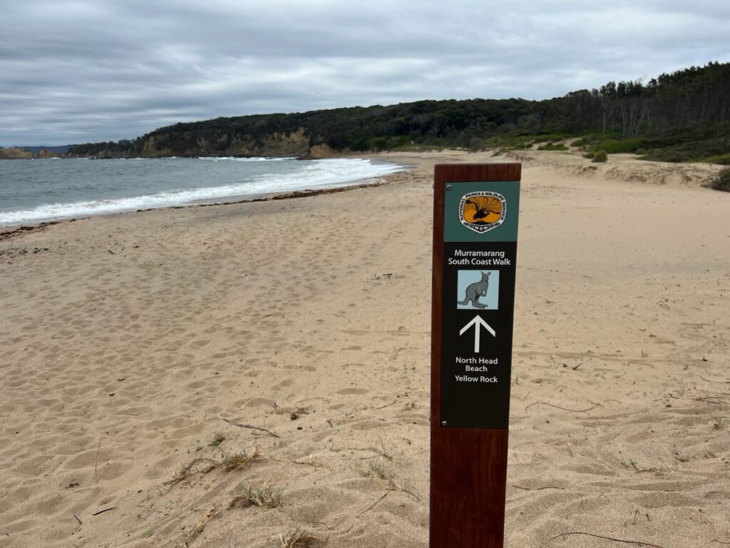
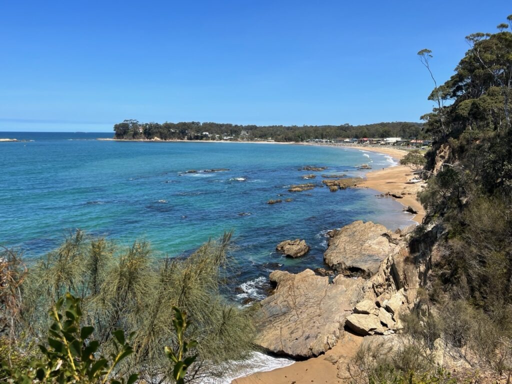
As we went further south the weather held for a few days, then sadly it started to deteriorate – cooler, cloudier and at times rainy, dimming our enthusiasm for further hikes and and any more swimming. Still, we managed to pick out a few gaps in the drizzle and at least get some exploring done in the communities of Batemans Bay, Moruya, Narooma, Tathra and Merimbula ( generally idyllic places, just not when we were there this particular time ☹️). Eden, a major whaling centre back in the day, is effectively the last town of any size before one crosses to Victoria but the rain made any serious exploration a challenge leaving us to content ourselves with a ( rather wet ) view from the town lookout. Fortunately, the weather was better inland.
Camped up, Murramarang National Park.We occasionally get visitors…..!Decidedly overcast while camping at the National Park, (but the wallabies kept us company).Just south of Batemans Bay.Parked up at the Moruya Bowling Club. One of the nicest pub/club camps in Oz. Flat, grassy, close to town and great meals at the club..!View from Eden lookout, once a major whaling centre. Sadly, right about here the weather turned against us.
Next week we move inland to explore the Snowy Mountains area and Canberra – the nation’s capital.
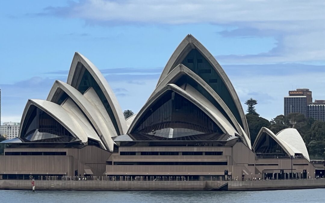
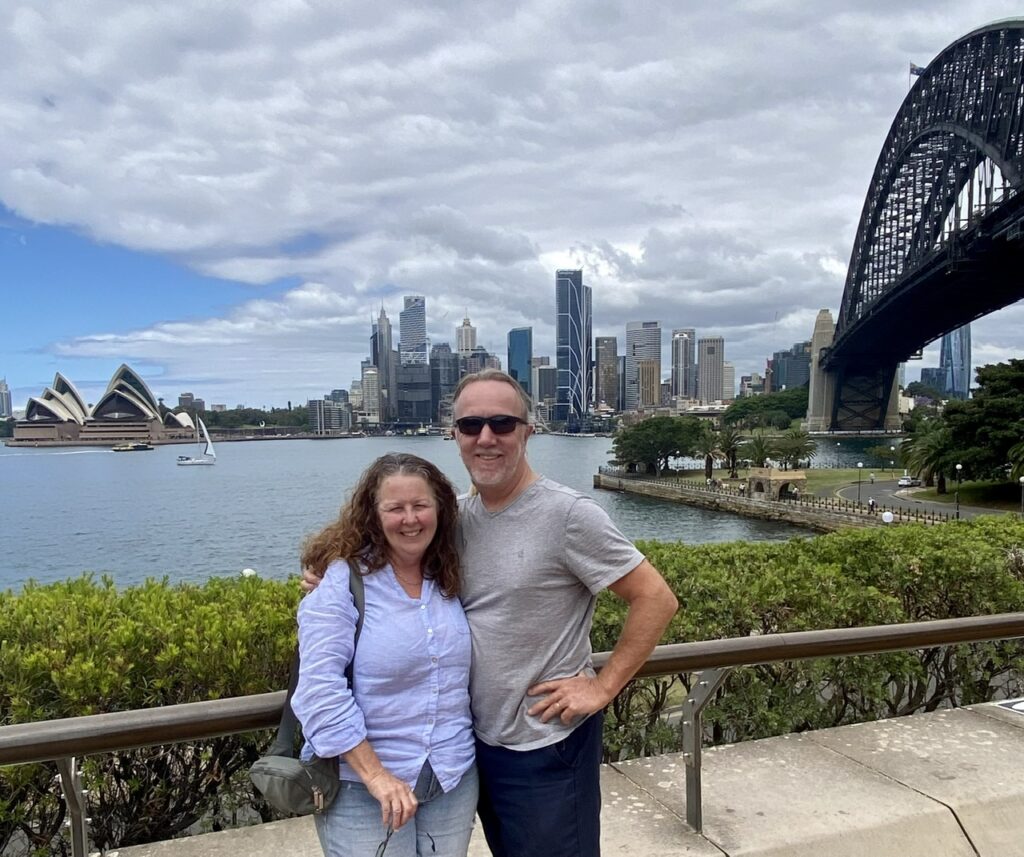
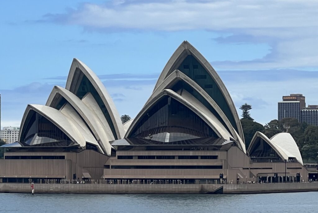
For all the amazing cities we’ve travelled to during our lifetime, there would be few, if any, that have a more beautiful setting than Sydney – who doesn’t recognize the world famous Opera House, set against the backdrop of the Sydney Harbour Bridge ? If there’s one city in Australia that feels closest to home for both Lois and I, it’s Sydney. I spent a month of every childhood summer here, then all my university years here after that. Lois and I spent a year here together in the early 80’s and of course it has been the first port of call every time we’ve returned home to Australia probably 15 or 20 times over the last 35 years. That said, we never tire of returning and there was great anticipation around this visit ( for a few special reasons ). We’ve experienced its attractions countless times over the years so this time around the plan was to revisit a few of the truly famous sights then spend most of our time here with several close, lifetime friends and to enjoy the simple pleasure of just catching up and spending time together.
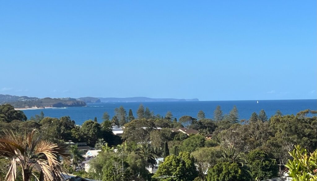
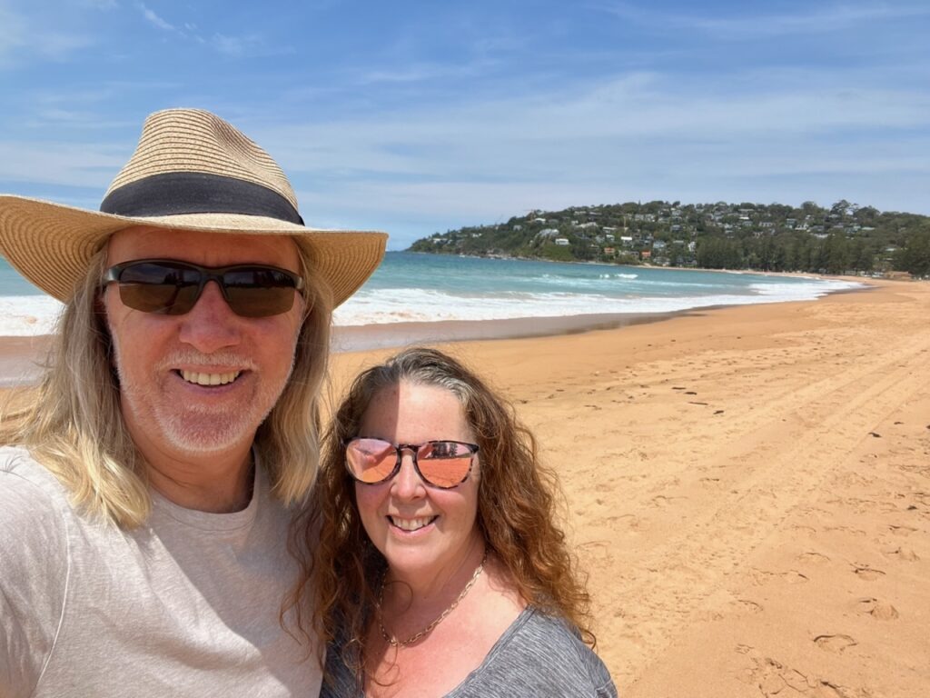
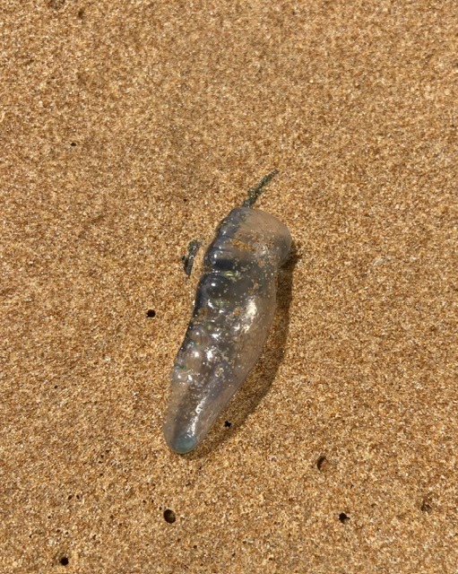
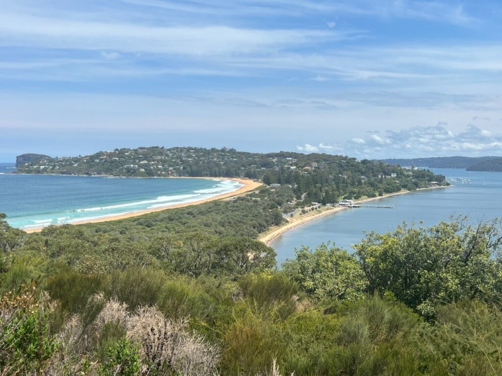
View from Justin and Angie’s home in Collaroy, along the Northern Beaches- a beautiful part of the city. Parked up in Collaroy, out front – the driveway was a bit steep to park on! Lois, Angie, and their good friend, Pete.Palm Beach, one of Sydney’s spectacular northern beaches.We did not swim on this particular day – lots of “Blue Bottles”, washed ashore. The sting is nasty……Palm Beach from Barrenjoey Lighthouse. The hike to Barrenjoey was a good workout !
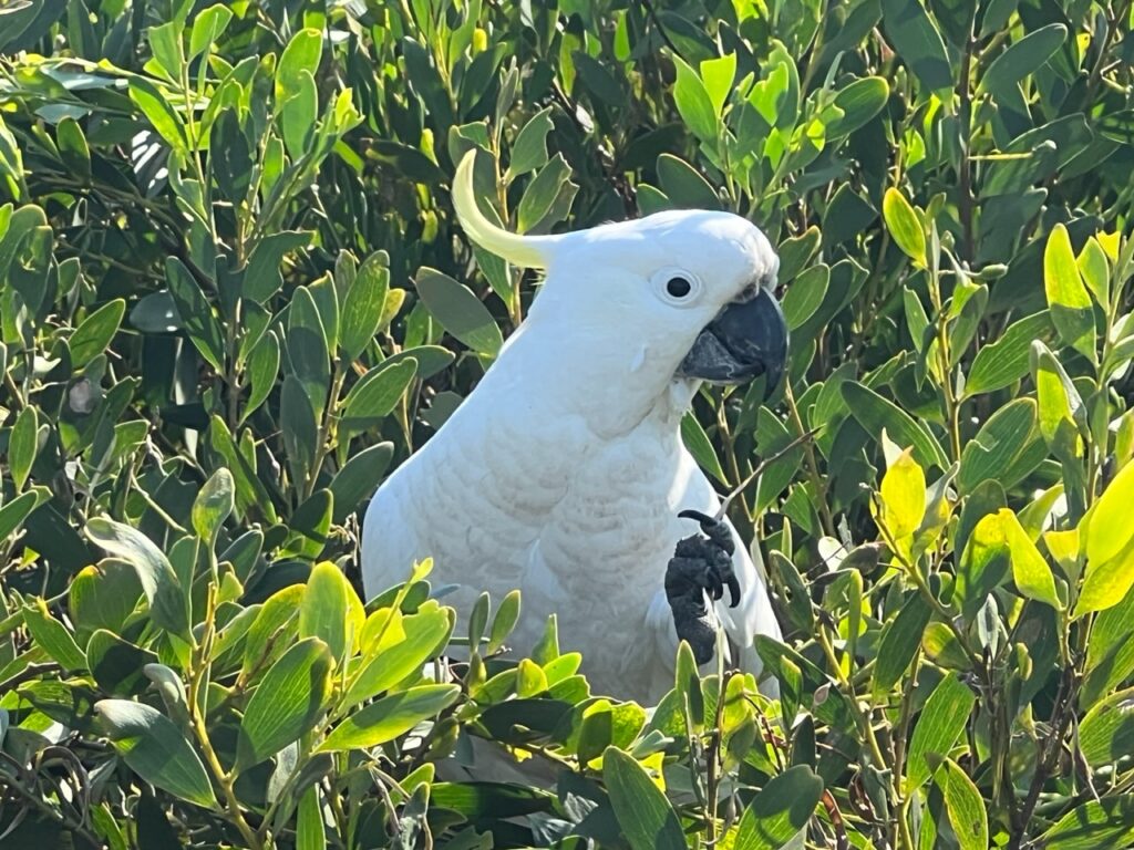
What could be more Australian ! Sulphur-crested cockatoo – one sees many of these !Visit to my two surviving aunties. It had been way too long !…..and managed to connect with 3 cousins while there !
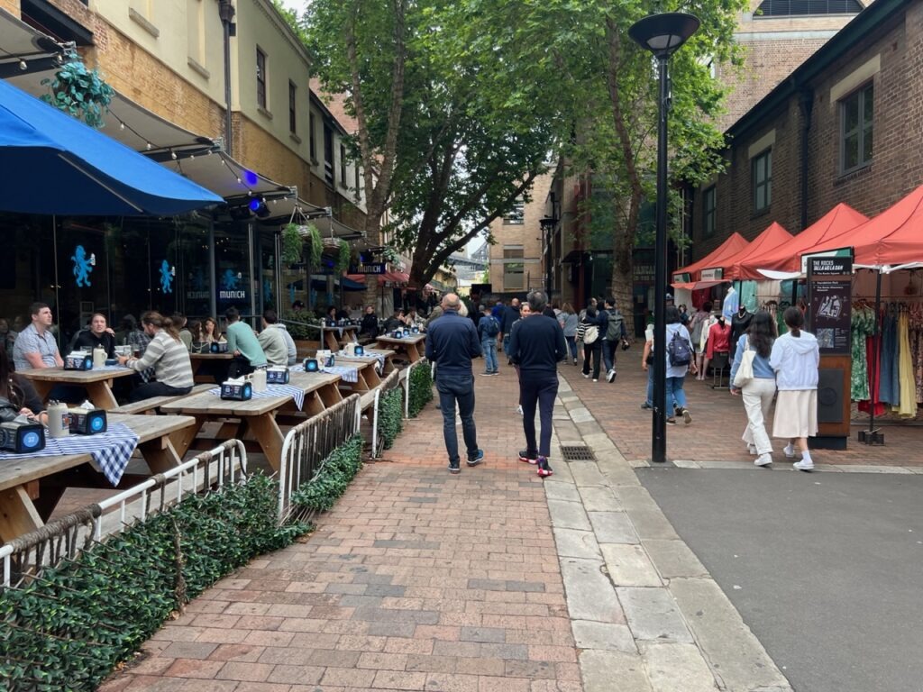
There are a couple of other favorites whenever we return – wandering Balmain’s trendy stores and backstreets, exploring the city itself ( the Opera House and “Rocks” area always have plenty going on ), but on this visit we also explored further afield in the Northern Beaches, a corner of the city we don’t often visit. On the south side, “The Shire” always offers up great shopping, awesome beaches, and the natural beauty of nearby Royal National Park. When visiting Sydney one really is spoilt for choice!
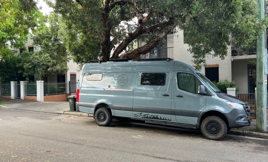
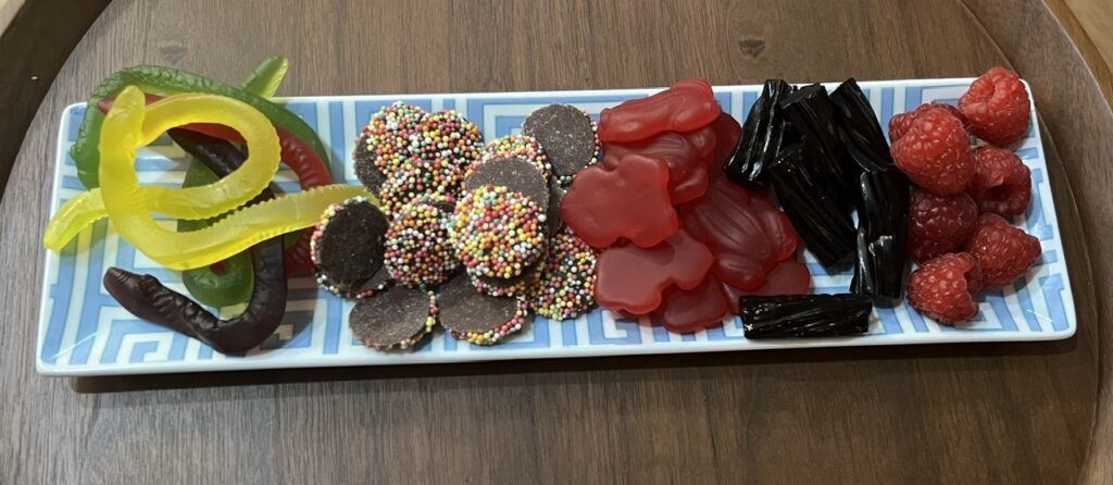
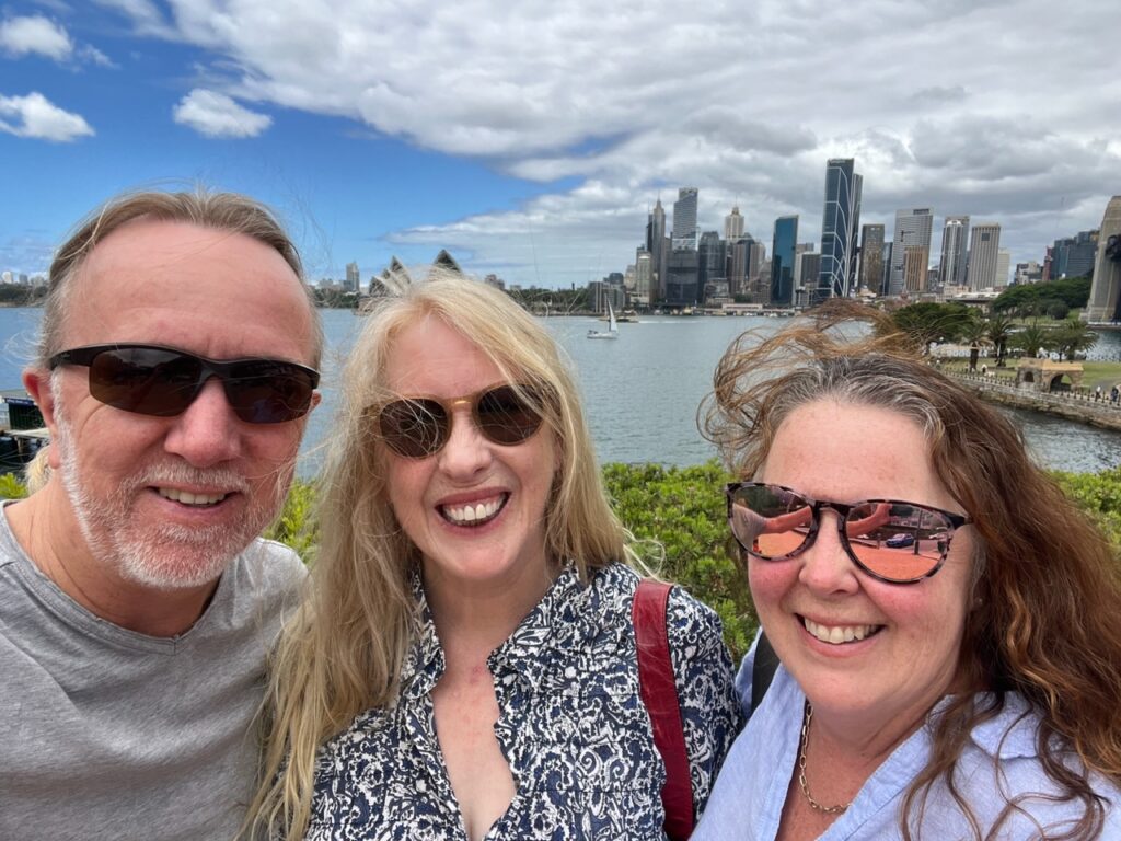
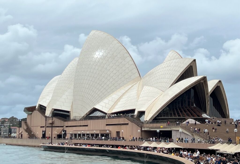
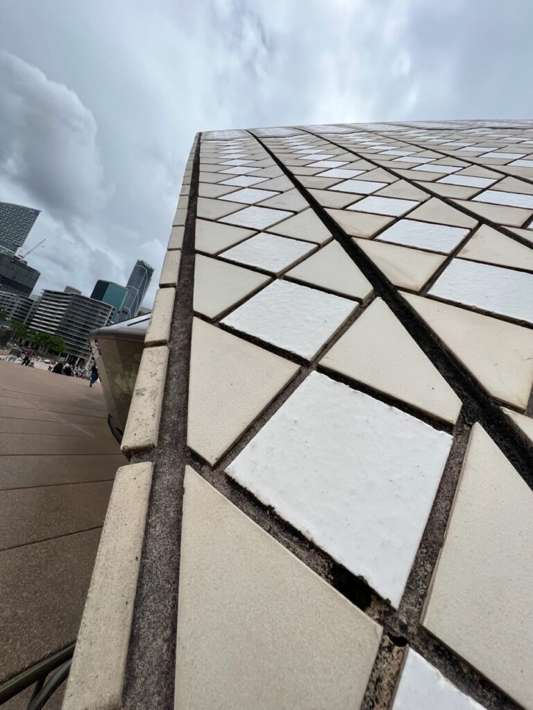
Lucky to score a parking spot right in front of Roxanne’s place in Balmain, very close to downtown Sydney. Parking is almost impossible at times in the desirable, but at times congested, inner city areas – a 7 metre long van brings an added dimension of complexity.Roxanne knows of my sweet tooth and always has a selection of classic Aussie “lollies” ( candy ) on hand as we arrive !A bit of the bridge, the city skyline, and the Opera House all in one, (as we arrived).Enjoyed a great day touring some Sydney sights with Roxanne.This building requires no description ! Celebrating its 50th anniversary this year and as stunningly beautiful as ever.Sydney Opera House from the harbour.Close up look at the Sydney Opera House roof tiles. Always assumed they were white ( most aren’t ).
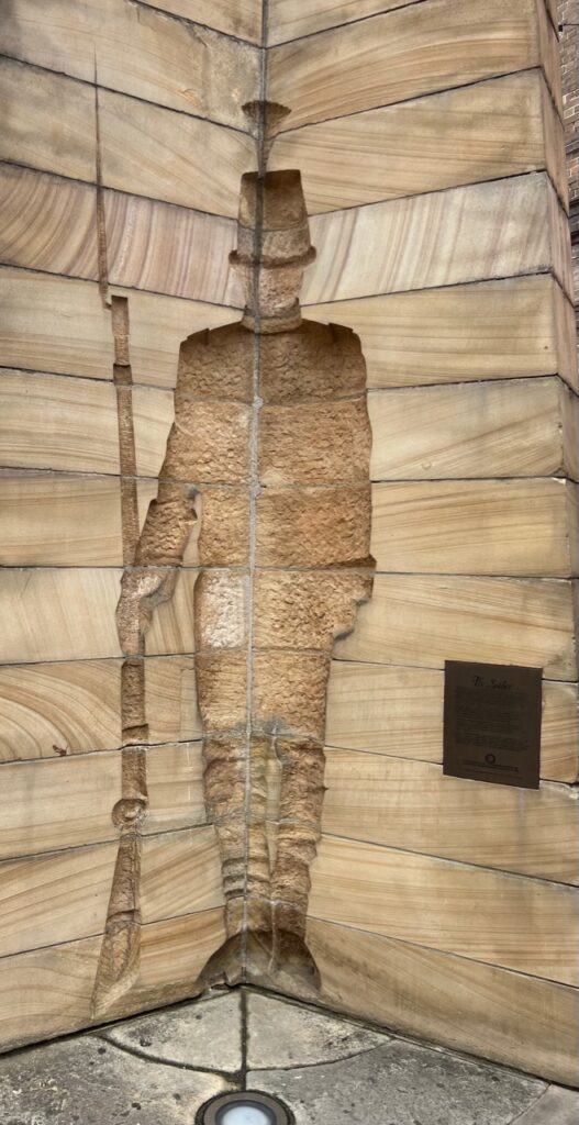
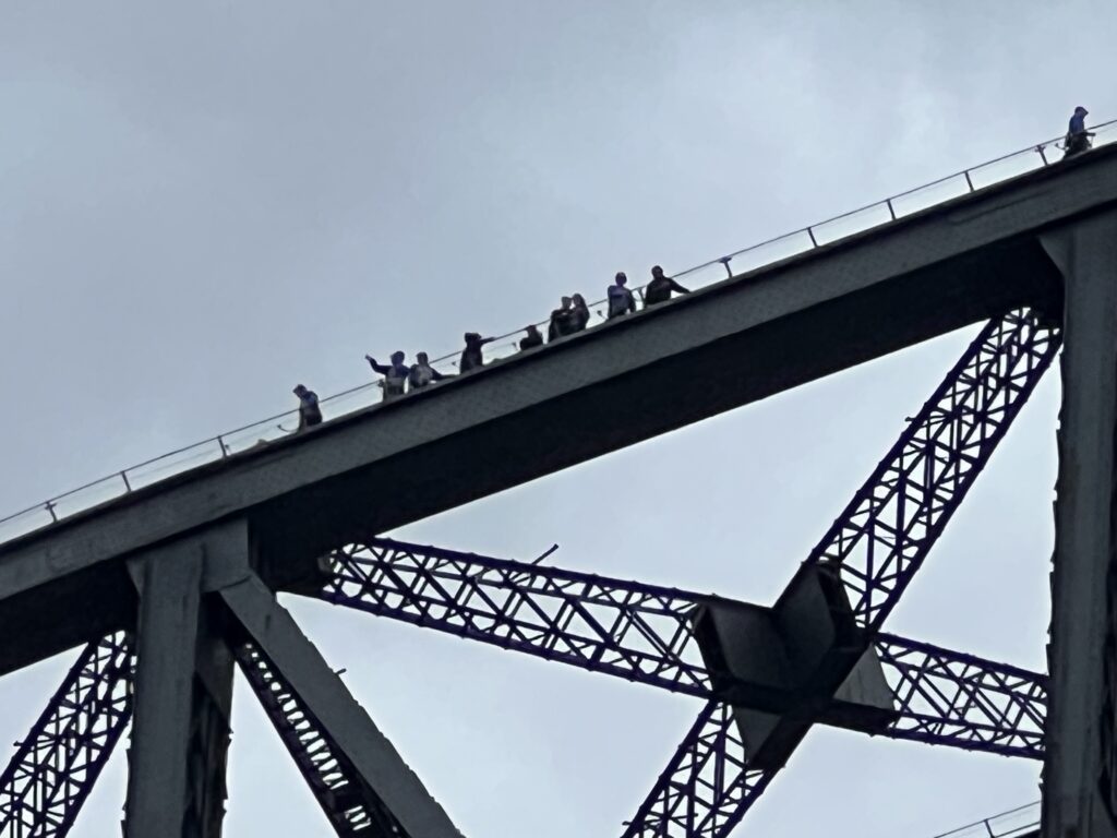
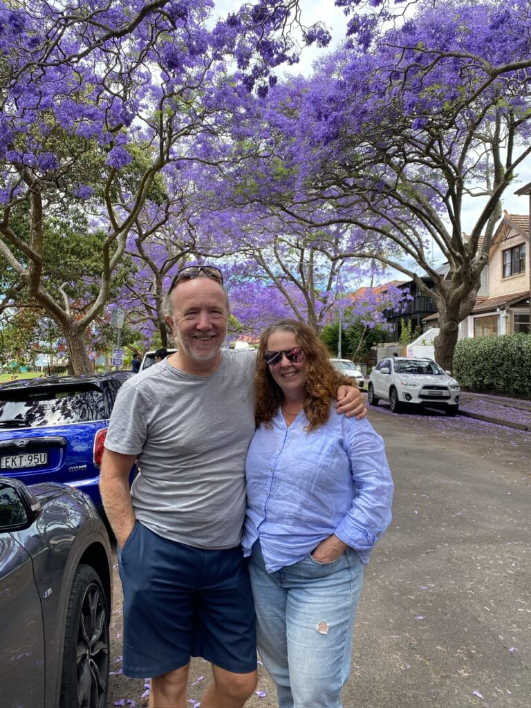
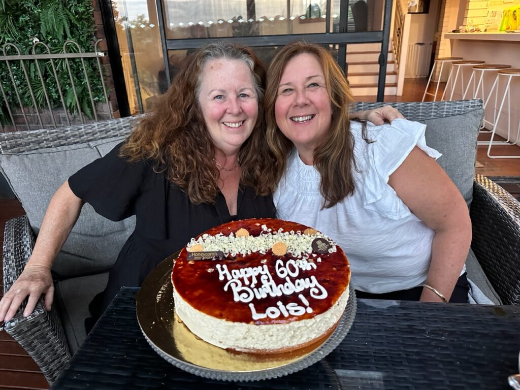
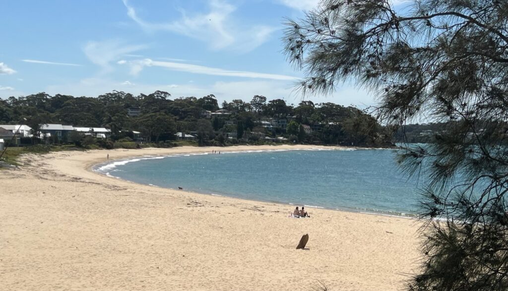
Sculpted image of soldier from Sydney’s early days as a penal colony ( The Rocks).“The Rocks”, trendy area of Sydney at the base of the Sydney Harbour Bridge.Not only can you walk across the Harbour Bridge, you can walk over the top ( as these folks were when our ferry crossed beneath it).Beautiful jacaranda-lined street in North Sydney.We celebrated Lois’s 60th with long time friend, Melissa and her family in SydneyBundeena Beach, Royal National Park, close to Melissa’s place in Sutherland Shire.
Managed to catch Australia’s most famous horse race, the Melbourne Cup, while exploring in Bundeena. The whole nation literally comes to a standstill for this race ..! Here, horses in the home stretch.Cronulla beach, Sutherland shire, Sydney.
Our week in the Sydney area with my aunts, cousins and such long-time friends was a real highlight for us, we loved every minute of it. In the week ahead we’ll begin exploring the South Coast of NSW, a bit of a hidden gem of NSW.
The PanAm completed in April, 2022 and with the truck camper sold, we shipped our new Sprinter van to Australia in late 2022. We travelled there through all of 2023 and into 2024 before shipping it up to North East Asia where we travelled for 4 months between Korea and Japan, before shipping it back to North America. It’s our plan to continue exploring the world in 2025.