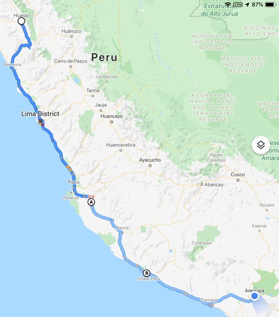
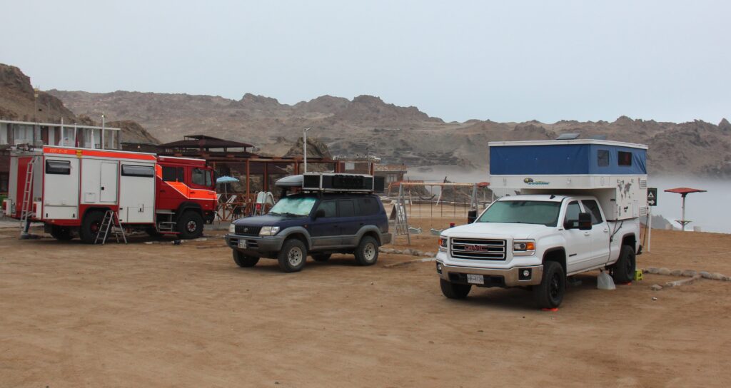
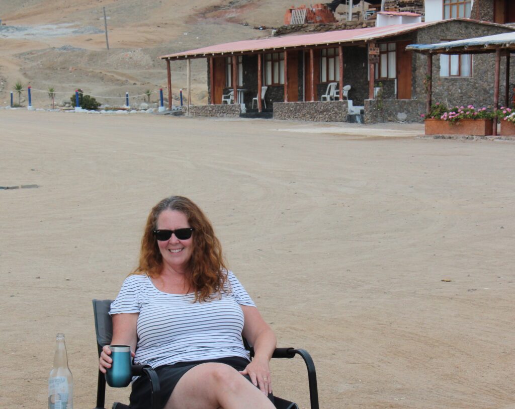
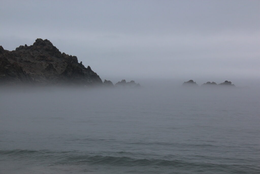
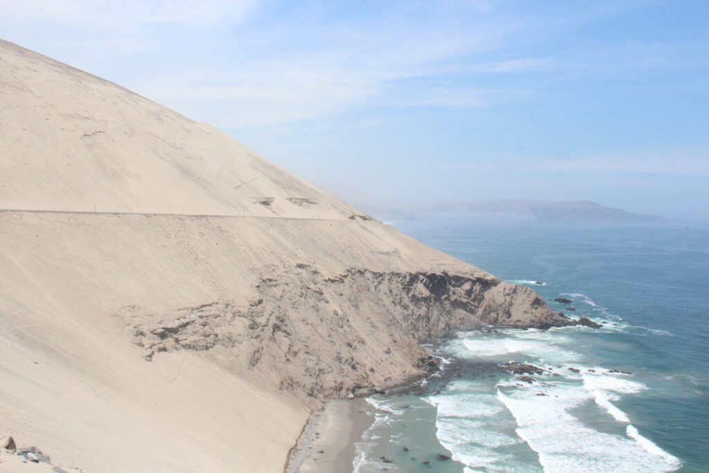
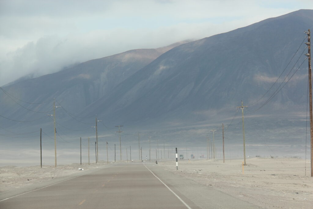
Our cool, scenic respite in the Peruvian Cordillera was to be short-lived. From the stunning beauty around Huaraz, Highway 16 wound across a high mountain plateau before rapidly zig-zagging down to sea level and joining the main coastal highway heading south. Sadly, for the next few days, it was mostly mile after mile of boring desert ( and badly littered ) highway. Fortunately the days were interspersed with with some great camping “finds” and re-visits to a few old favorite spots on the Pan American route.
This litter thing is so bad in Peru that it actually becomes a qualifier on any discussion with other overlanders about the country. We, like most others, find it very hard to overlook and, frankly, are amazed that in 2020, after what must have been decades of education about environmental awareness in the schools, people are still just throwing trash on the streets and highways. It is truly shocking to see.
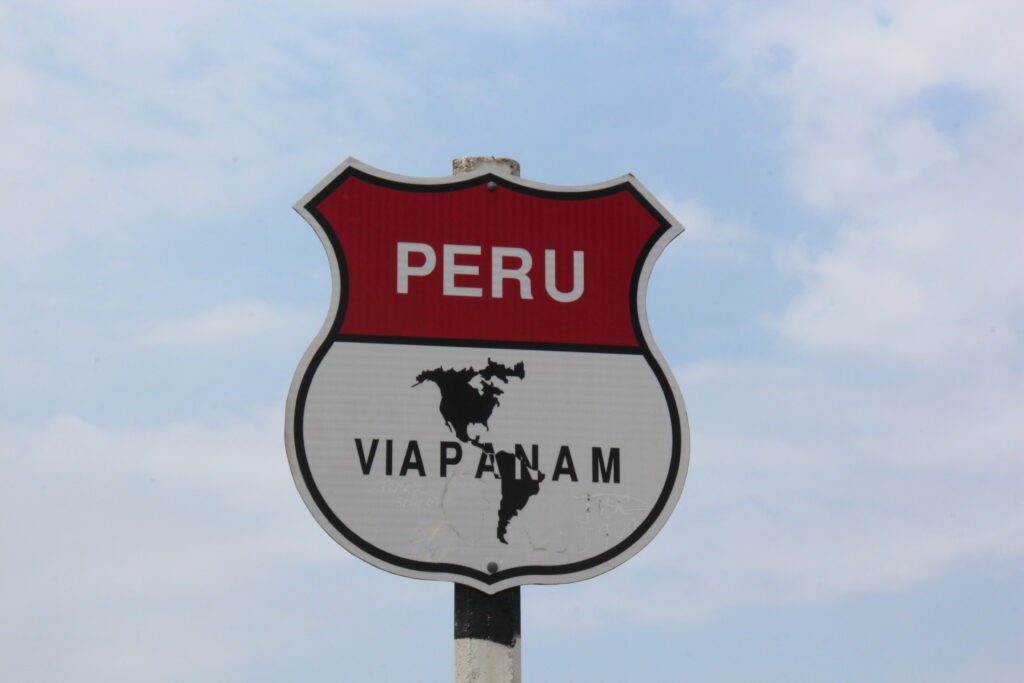
Lima was not on the list of places to revisit as we traversed the Peruvian coastline, this time going north to south. The two hours we spent just getting through its brutal traffic was more than enough stress and we both breathed a sigh of relief as we got to its south side and out into the beach communities along the coast.
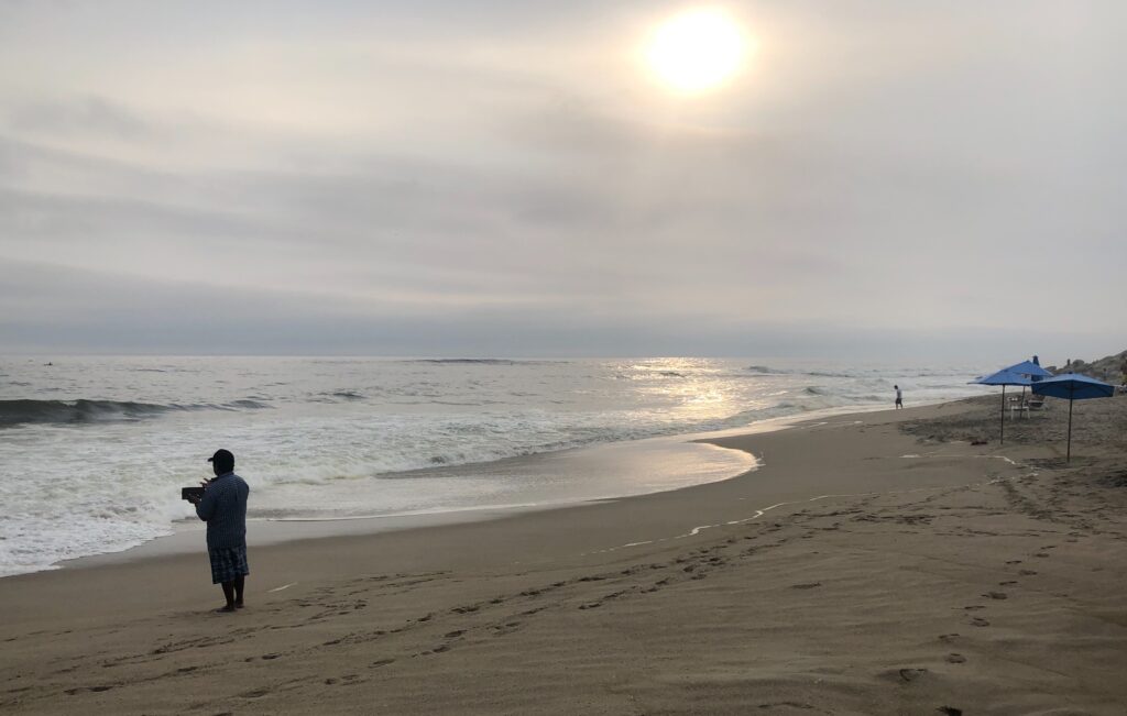
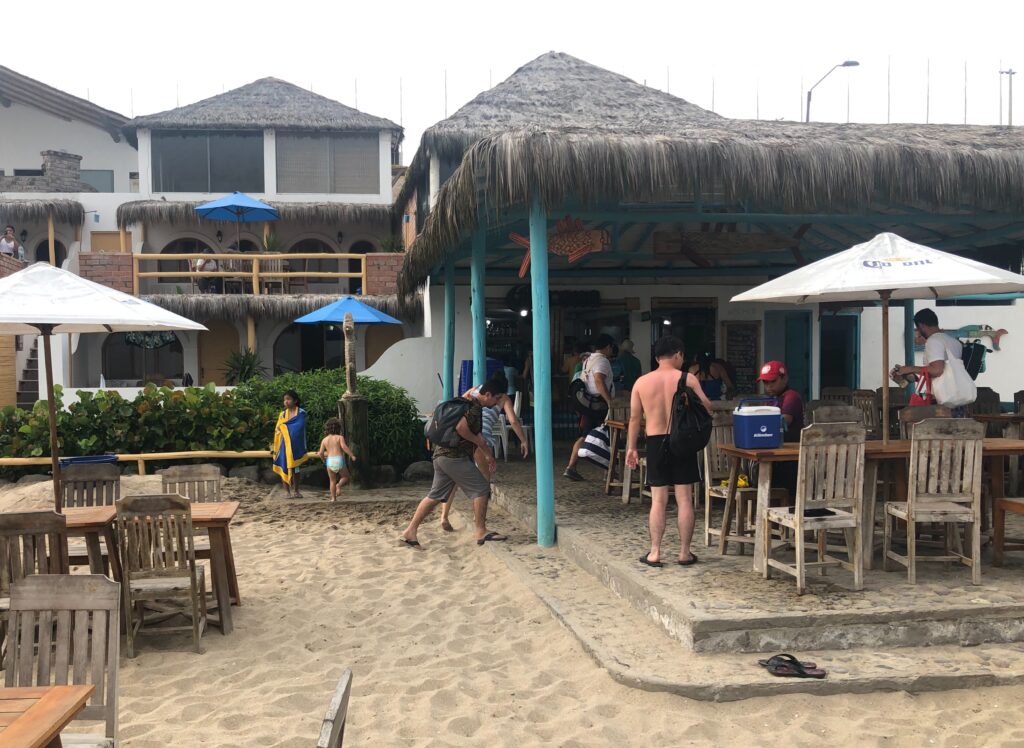
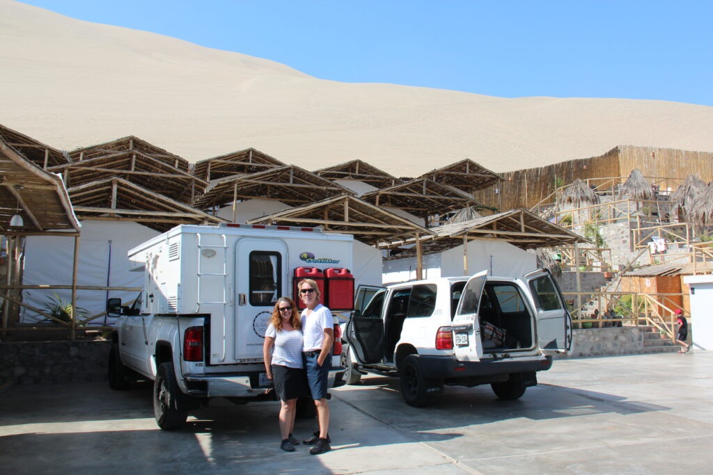
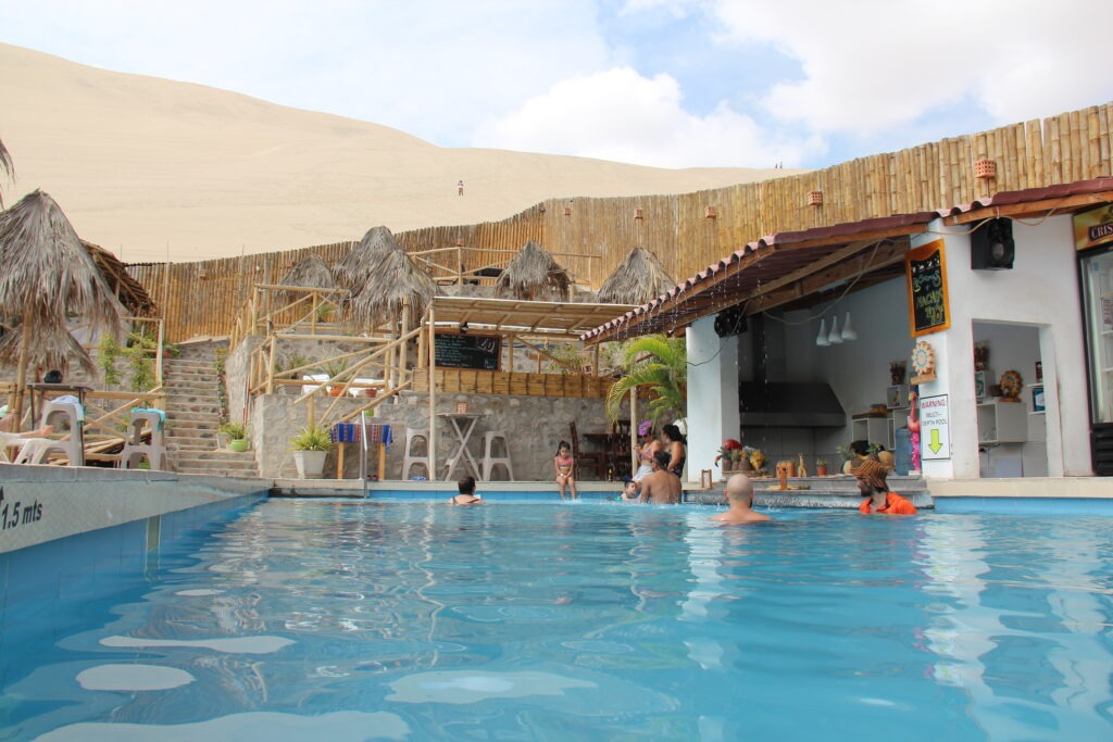
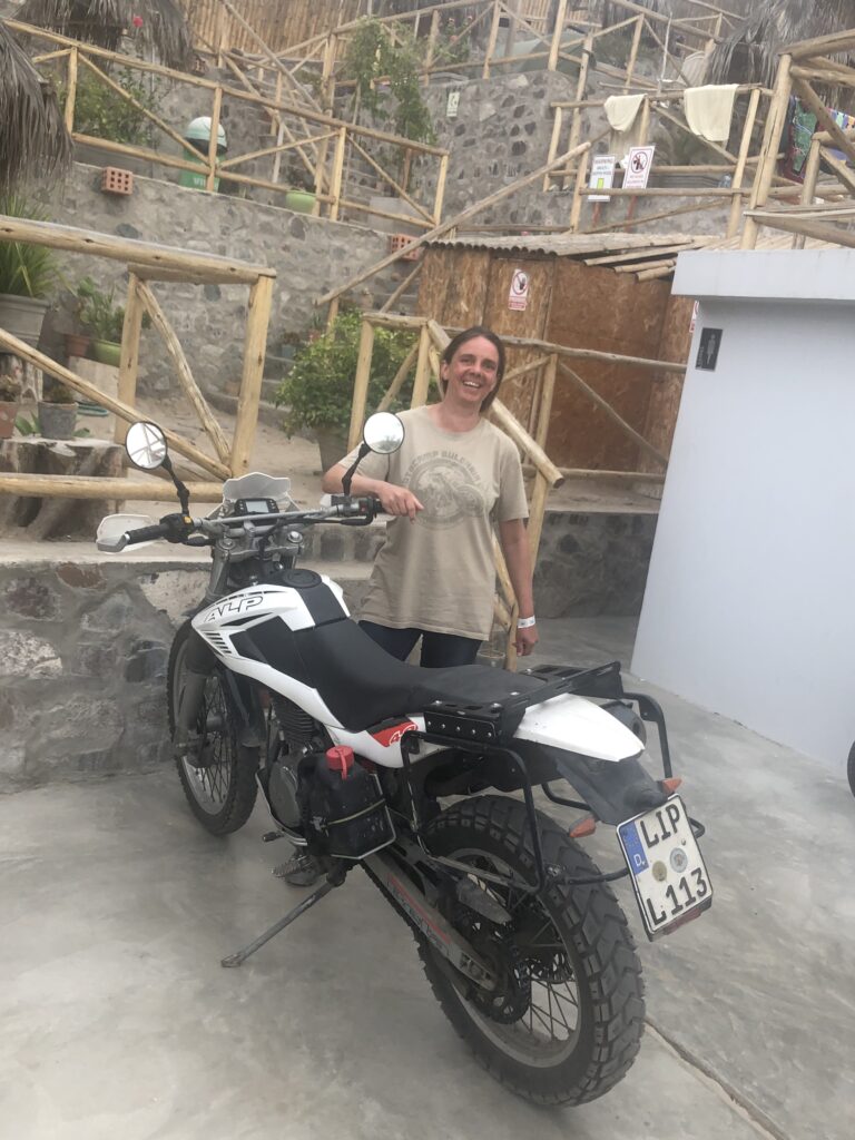
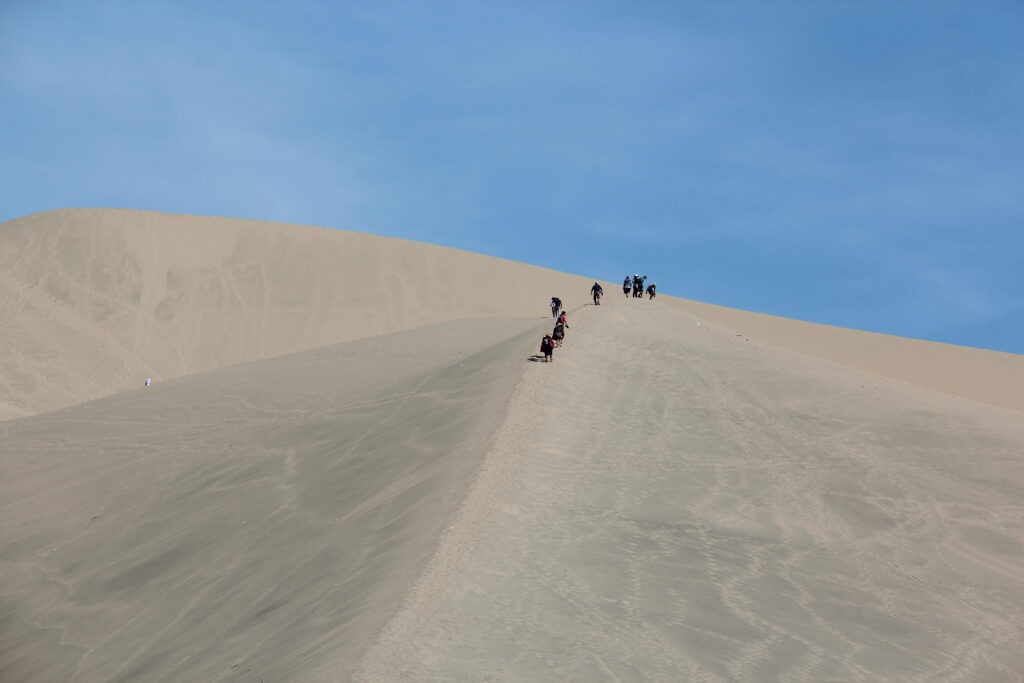
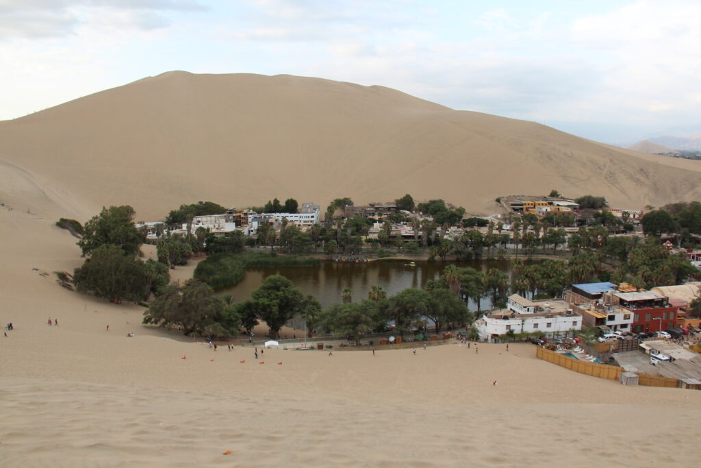
Following a night in Hamacas beach, the sand dunes town of Ica was a great place to rest up for a few days; Ecocamp Huachachina was a great location, and the pool was a welcome relief after the heat and sweat of walking/sliding in the sand dunes. Always a delight to catch up with another overlander and it was a very pleasant surprise to bump into Tina there ( she was camped next to us in Banos, Ecuador ). Sadly, she was in the final days of her South American odyssey and about to ship her bike ( and herself ! ) home from Lima.
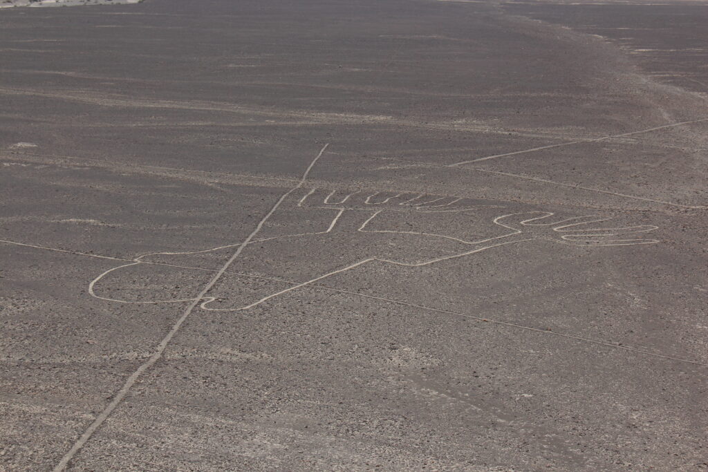
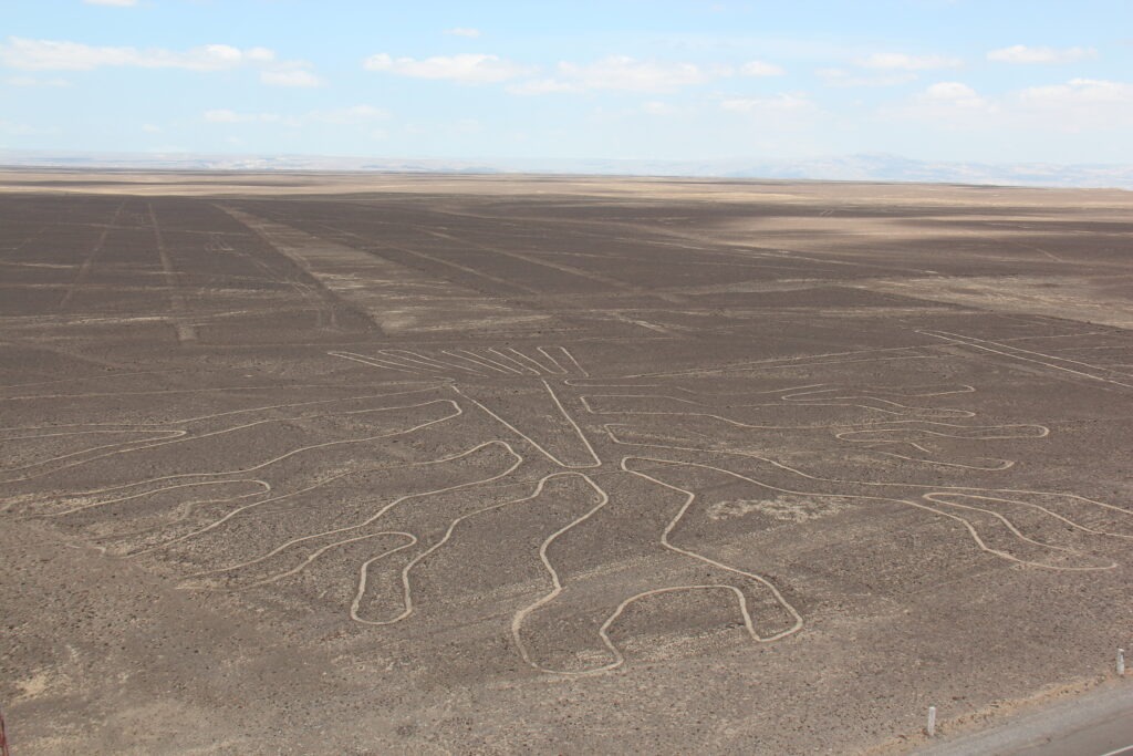
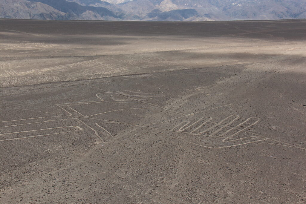
The Nazca Lines are always worth a stop and the new, taller, mirador provided a much better view than the old one that was available back in 2003. There is a great story on the background history of the Nazca Lines and current scientific theory as to why they were carved – read about it here:
https://en.m.wikipedia.org/wiki/Nazca_Lines
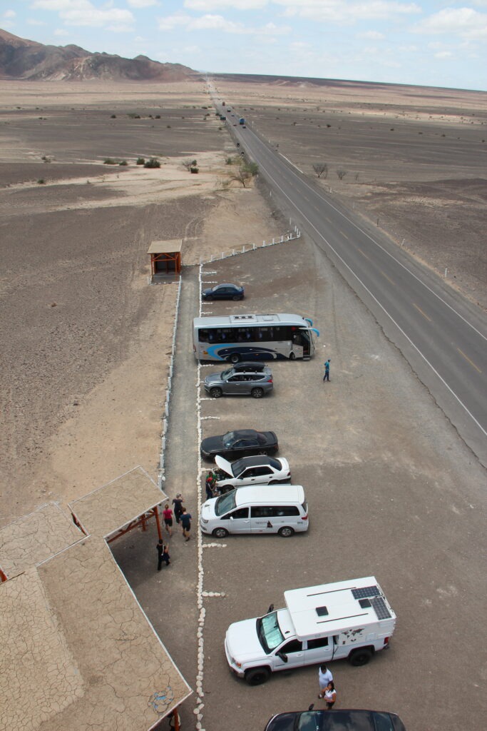
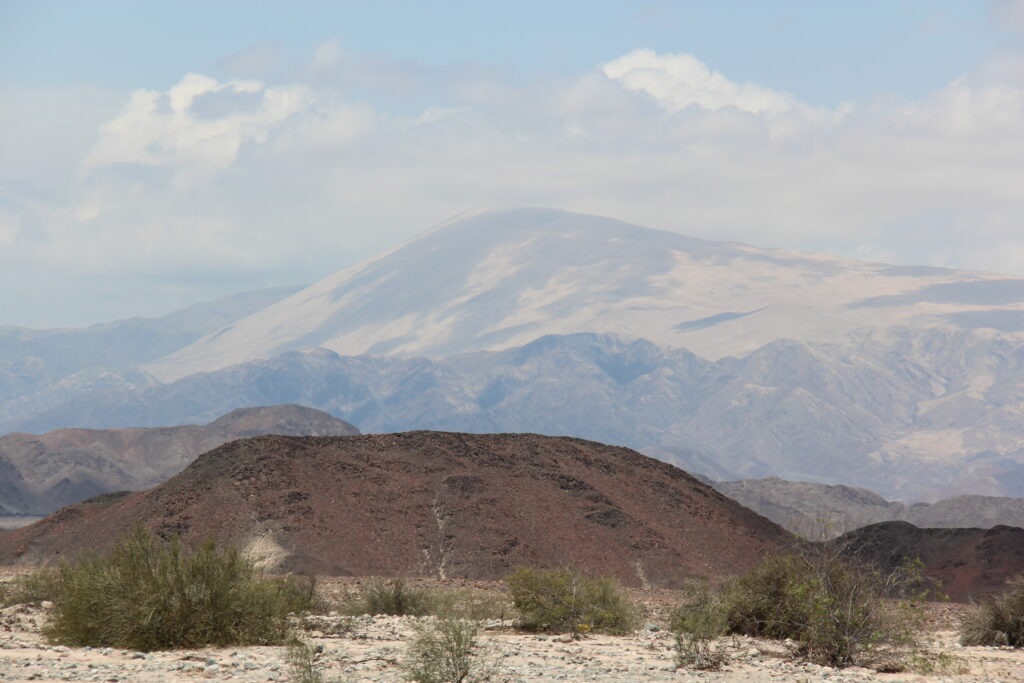
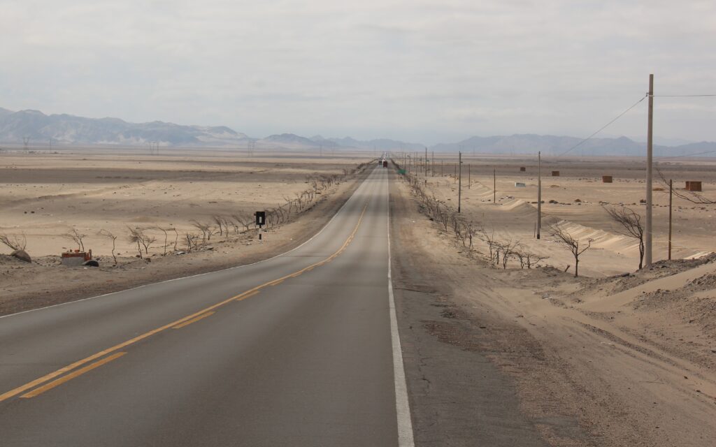
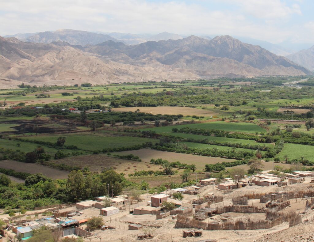
The serendipitous rendezvous’s did not end in Ica. Proving there really is a “gringo trail” of sorts down here, later in the week we pulled into Puerto Inka ( just south of Nazca ) – right beside us was “Christoph” and his family – the very same Germans camped beside us in Quito and who had given us such great tips for the Galápagos.
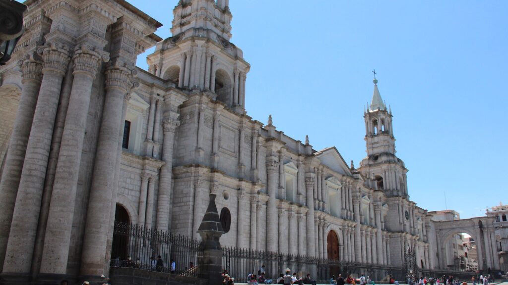
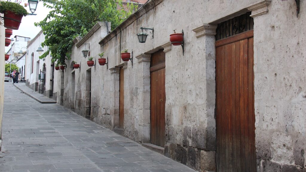
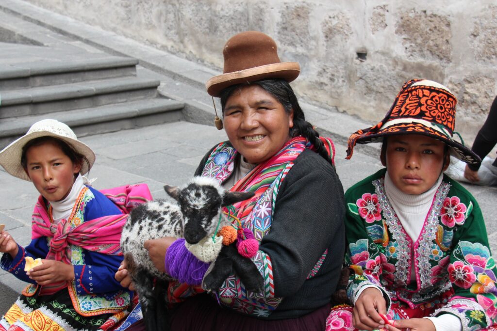
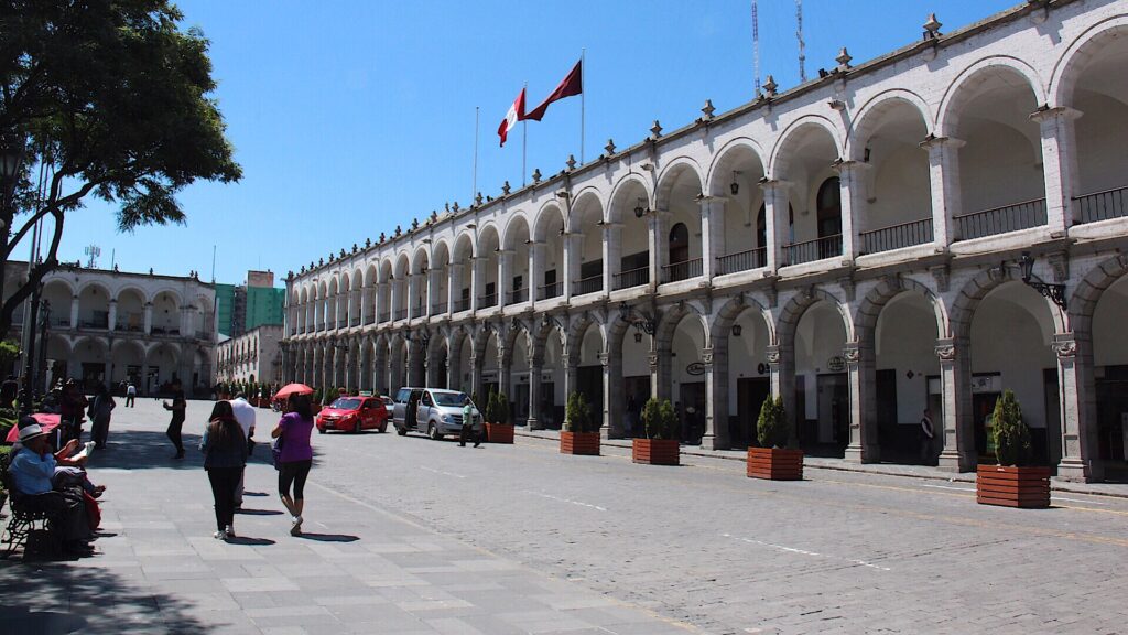
Arequipa is famous for its historic Plaza de Armas, beautiful triple volcano backdrop (often snow-capped) and unique white buildings ( they are constructed from sillar, a white volcanic stone). A far more visitor-friendly city than Lima, it’s easy to get around, smaller and simply (due to its architecture, history and physical backdrop) much prettier. Traffic was not bad, the sun was shining so we took full advantage of both the re-explore the city for a couple of days.
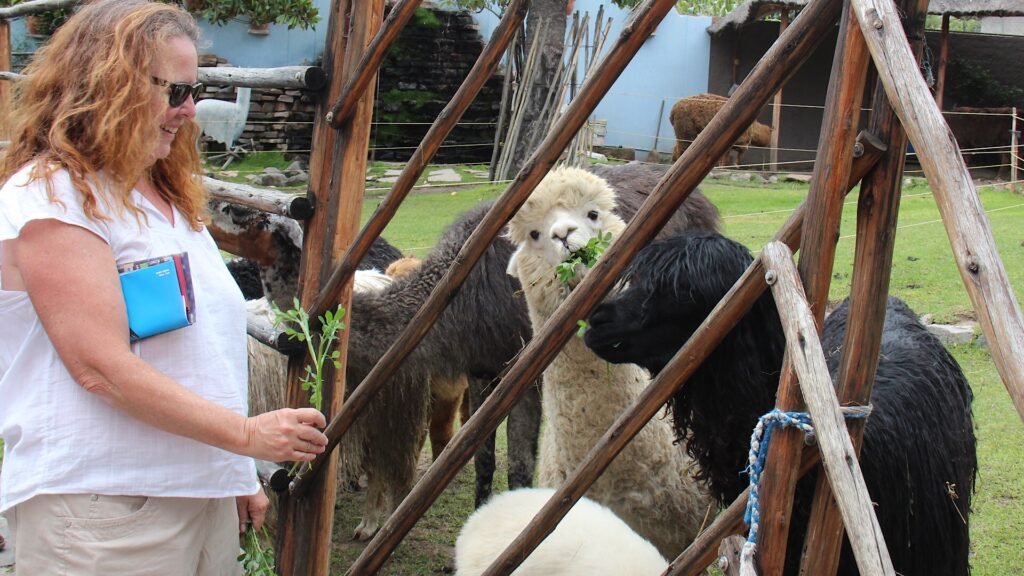
There was a bit of “strategy” in our route here as well. Coming up from sea level, Arequipa at 2,335 meters made for a perfect graduated ascent on our way to the Colca canyon, Cuzco, Lake Titicaca and Bolivia in the weeks ahead where we will be continuously in the 3,500 ~ 4,500 metre range. Tough to exert oneself up that high – got to get acclimatized !

You guys are doing great! Love the pics.
Thanks Dana and great to hear from you. Let us know where you end up when you park your rig ! Cassey is now back in the US (heard from her yesterday ). Great memories of our time together in Panama…!
Good to see all is well with you. There had been news about storms and flooding there recently.
Yes, all good down here but indeed there were some crazy floods in Arequipa – could see the damage as we drove in. Mud everywhere. Drove from Colca Canyon ( famous for the condors ) towards Cusco today and hit snow and a hailstorm – didn’t leave Canada in winter to experience that in Peru but there it was lol !!!
Similar thoughts about Lima – 1 visit is enough! Cuzco – altitude sickness plus, thought my brain was going to explode. At least Machu Picchu made it all worth the agony. Have you ever been on that route from Santiago south before? It is interesting, albeit a very straight highway with lots of toll booths. We too were appalled with the rubbish in Peru, but there is no garbage collection service in many places & no bins. The mountain streams were full of plastic bags. Enjoy your trip south. We’ve just had a short road trip to the Fleurieu Peninsula in South Australia for a couple of weeks. Magic part of our country. Heading to North Queensland next.
Yes, no one likes Lima ! We are heading to Cusco tomorrow and as we have now had several days sleeping above 3400 metres with no issue we should be good in Cusco. You must have flown in from sea level, which would make it a very sudden adjustment. Many get headaches and dizziness.
Indeed Manchu Picchu is Amazing – right up at the top of the best man made wonders of the world. We loved it too, but not sure we will go again…..it’s been a bit rainy here ( is the season ) so don’t want to spoil the great first impression. It’s also become VERY expensive and they limit how much time you can spend there now ( everyone complains about it ). We have lots to do in Cusco aside from that.
Just had an amazing day in the Colca Canyon near Arequipa – saw the Andean condors close up in the wild ( can’t say more, will spoil my next blog ! )
Your trip looks great – following your Instagram posts, keep them coming !
Great trip. As ever we are enjoying it. Very sad to leave Chile as we must in a few days. What an amazing country from Patagonia to Atacama and the high Andes simply stunning. Enjoy and we look forward to the next instalments
It really is……we are so looking forward to the Carretera Austral especially – it’s the big attraction for us. Too bad our timing did not jive. We will connect in one corner of the globe I am sure ! Safe travels back to Oz, guys.
Ocean against the desert quite a contrast as you travel. Great job with the story line and pics Jeff and Lois.
Thanks Ernie- we’ll have some animals in next week to change it up ! Birds especially…..
Love reading your updates! Great pictures 🙂
Hi Diane,
Glad you are enjoying !!!
Hey Guys!! Peru looks amazing!!! Love learning about the different places your driving through. I have to say It’s a lot better than history class in school. hahahaha
Cheers 🙂
Hi Jen,
Glad you are still enjoying it – and I am thrilled to know that our little ol’ blog is more interesting than your old history classes Lol !!! Perhaps I should have been a teacher !
Lois says to say hi to you and for you to say hi to the gang at work.
Lois would love to hear about your Africa trip, too. I think you have her email ?
Ciao for now,
It’s great to catch up with you intrepid travellers and the photos are gold! Thank you for sharing! lots of love, Roxanne (and Maisy) xx
Great to hear from you Roxanne – hope all is well back in Sydney. Too bad we could not connect with the Stiff’s down here – just missed them ☹️. Glad you are enjoying the blog – will try to keep it interesting 😊. Ciao !