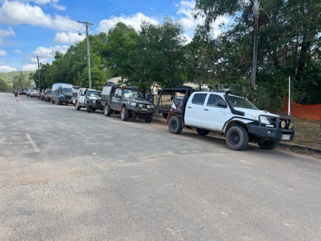
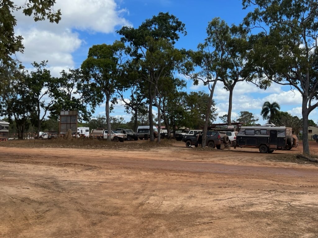
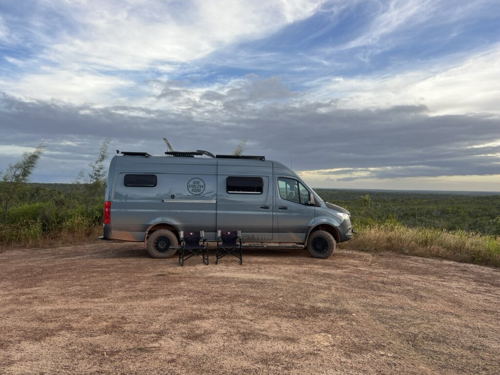
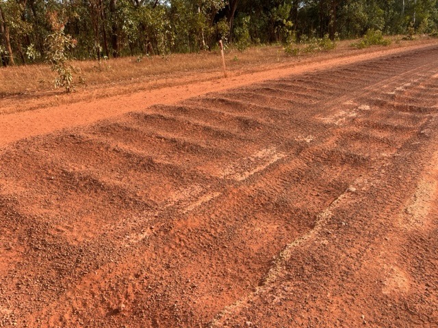
Rested up after our stay at delightful Carmila beach, the Bruce highway took us further south and on to wonderful Woodgate beach, just south of Bundaberg.. There were of course a few very worthy pit stops between the two which made for a busy and, in the end, a very enjoyable 10 days or so.
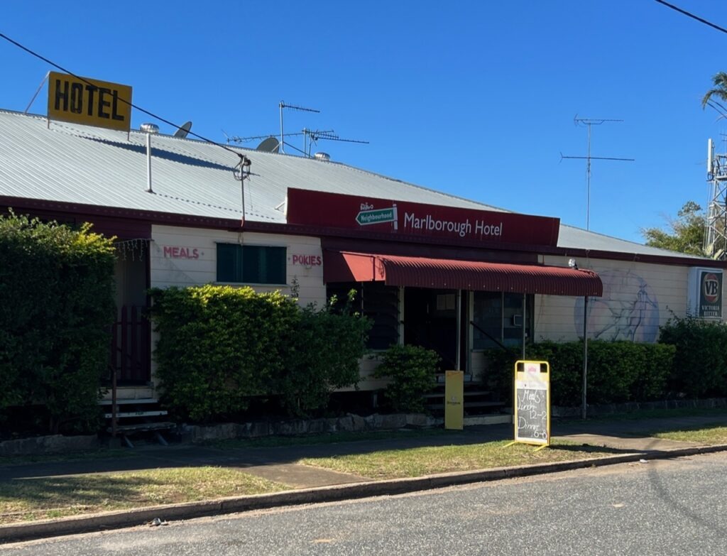
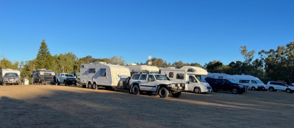
With 100% success ( to date ) pub camping, historic Marlborough ( and the Marlborough Hotel ) seemed like a logical overnight break en route south. Great food ( again ), great company and an excellent old pub with great facilities – what’s not to like ? The pubs have become one of our favourite places to park up.
Historic Marlborough Hotel.Another very popular “pub” park up – the Marlborough Hotel, Marlborough.
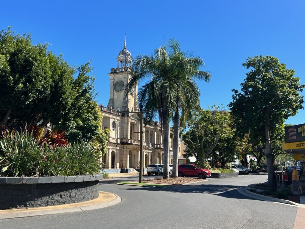
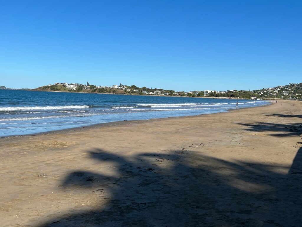
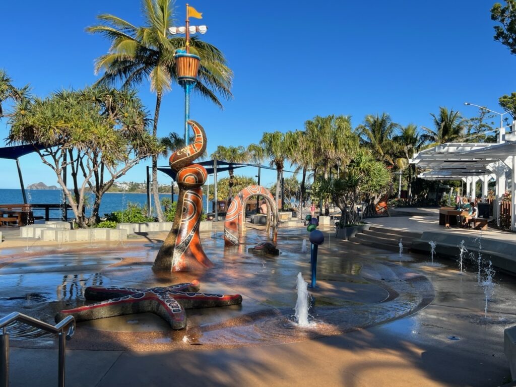
Rockhampton was the next major centre southbound – lots of history and character in its downtown and and every kind of big box store you could imagine. Nearby Yeppoon is the getaway coastal ( beach ) stop for all Rockhamptonites so we made a point to add it to our itinerary. Nothing especially famous there but a nice lookout and beautiful beach – Yeppoon is one of those places that folks from the cooler southern parts of Australia love to holiday/retire in; warm enough year round, yet lacking the brutal summer humidity that afflicts the cities further north. We could see the appeal !
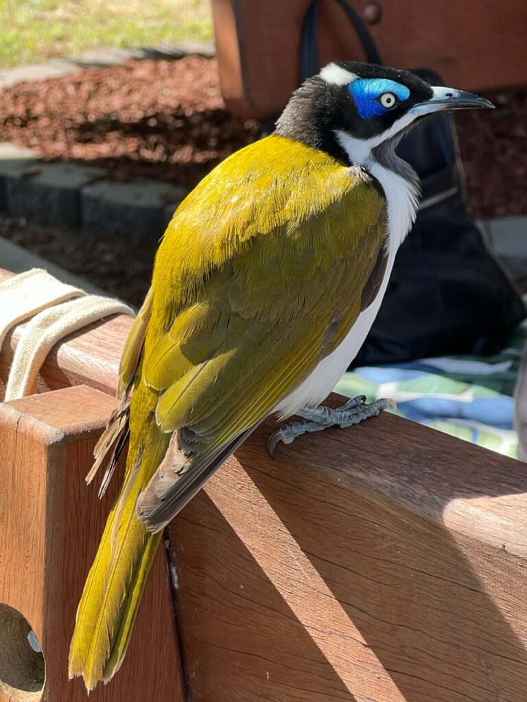
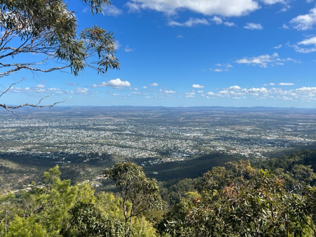
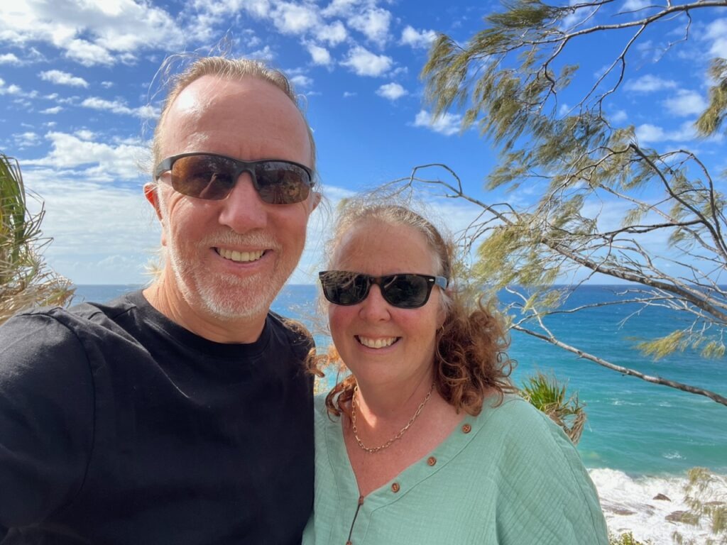
Historic ( and tropical ) Rockhampton.Beautiful Kershaw Gardens, downtown Rockhampton- The council provides free camping right beside this this park in what is one of the most sought-after park ups on the Queensland coast.Kershaw Gardens free-camping, downtown Rockhampton. Full, always, and usually by noon.Beautiful Blue-Faced Honey Eater, RockhamptonView of Rockhampton from Mt Archer NPSelfie, Yeppoon.Beach, Yeppoon.Waterfront Esplanade, Yeppoon.
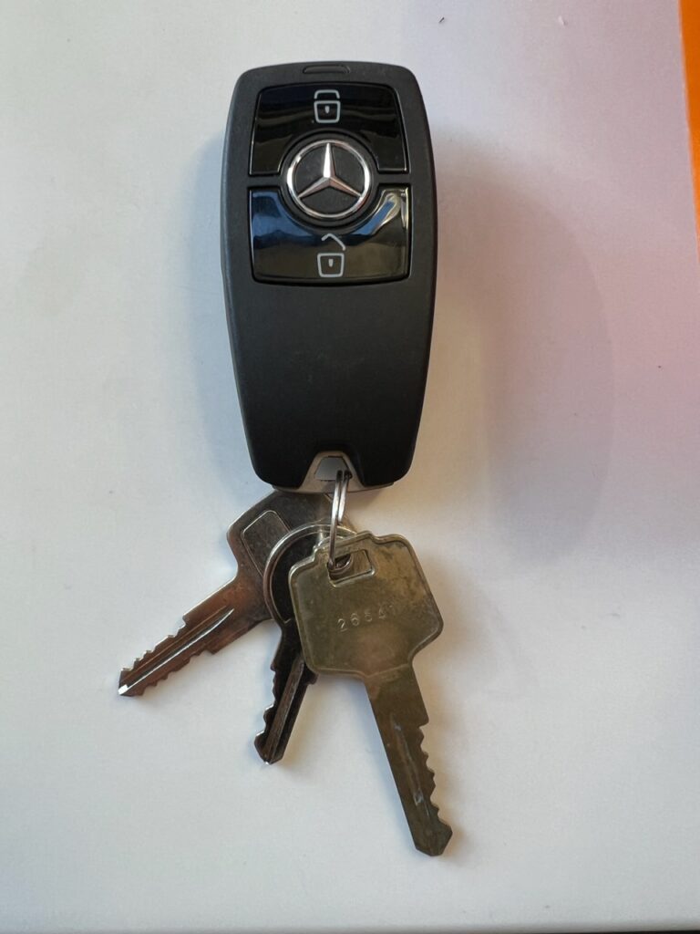
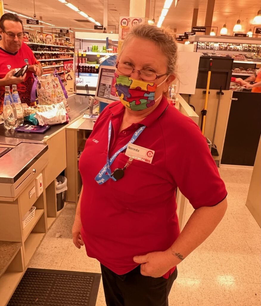
While back in Rockhampton there was a moment of sheer panic when I had somehow lost the vehicle keys while we were shopping in the Stocklands mall. Running back to the mall and retracing the steps of our various store visits initially yielded no keys. I then went to the front desk of the last store we had shopped in ( Coles ) to show the Customer Service lady a picture of my keys ( I had it on my phone for reasons I can’t recall ). She smiled, turned to a drawer behind her desk, then looked at me and said, “ Do you mean these ?”. Mercifully a kind shopper had seen them on the floor and handed them in 15 minutes before . Sadly, he’d not left a name or number so I could not reward, nor even thank, him. One of those things I’ll just have to pay forward I suppose! We are certainly crossing paths with some very kind strangers.
Our keys, recovered !!!Nereda, the lady in Coles who saved me !
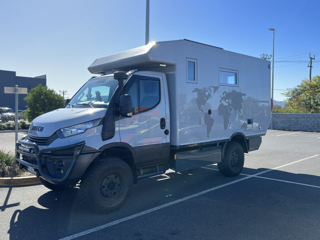
Leaving “Rocky” ( as it’s affectionately known ) we noticed an Aldi store. Needing a few supplies ( and loving their selection of discount European chocolates ) we popped in. Parked up, literally beside us, was a very European-looking overland rig ( a 4×4 Iveco Daily with custom “box” on the back). Upon closer scrutiny the rig was indeed sporting German plates and a large “D” ( for “Deutschland” ) emblazoned on the back. We’d by now been in Oz for over 6 months and had yet to spot a single other foreign vehicle (much to our surprise) especially since we had done a pretty well travelled “tourist” route. If there had been more out there, you’d think we might have seen some ! There just obviously are not as many people doing this as I had expected.
Uwe and Silke’s Iveco Daily 4×4, Rockhampton
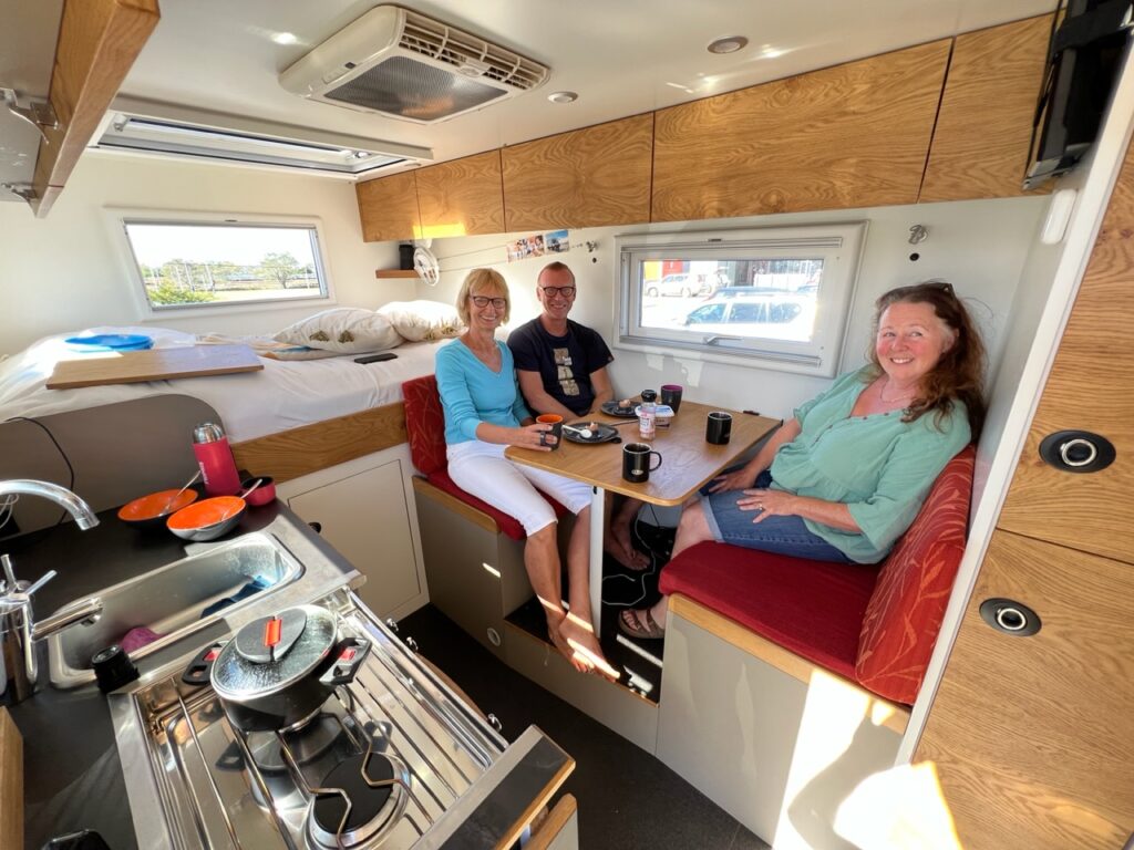
Turns out we had more in common with Uwe and Silke ( the owners ) than the fact we were both travelling in foreign rigs in Australia – we had both previously done the Pan American highway, both come in to Australia on car carriers, we had both used the same shipping line ( Wallenius ) and both had taken exactly the same route, via the US East coast, Panama and NZ. We got off in Melbourne, they in Brisbane. While we waited almost 6 weeks for ours to unload/clear quarantine they waited only 3 ( they’d only been in the country 4 weeks – perhaps it was a sign that shipping delays were improving ? We hope so ! ). We enjoyed a long chat, swapped personal details and traded tips – always a very enjoyable part of meeting others on the overland trail.
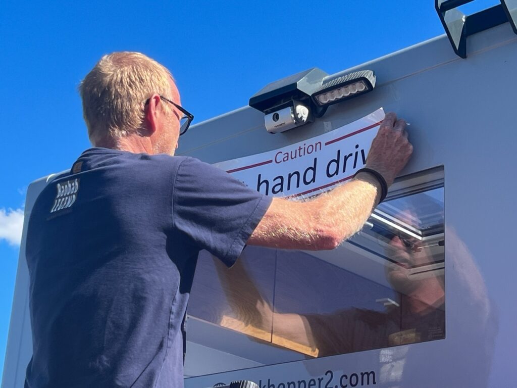
Inside. Very spacious !.Uwe borrowed my extending ladder to paste the required “Caution, Left Hand Drive” decal on the rear of his van
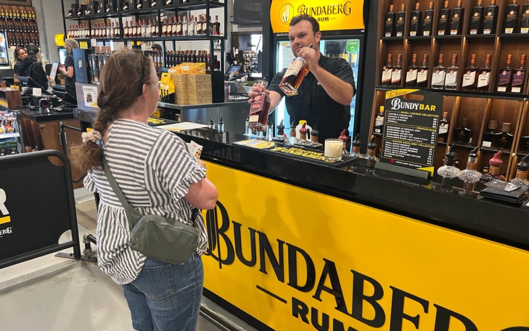
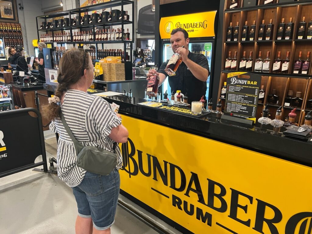
Bundaberg ( and more specifically, nearby Woodgate beach ) were places we’d been excited to revisit. The requisite “Bundy” rum tasting at the famous Bundaberg Rum distillery complete, followed by a tour of the town we headed straight out of town for a couple of days R and R at nearby Woodgate. Still as picturesque as ever but like so many places, especially post-Covid, formerly tranquil Woodgate is seeing an influx of residents drawn to its great weather, long, golden beach and quiet surf, shielded as it is by its proximity to northern Fraser Island not too far offshore.
Lois, sampling some “Bundy” rum.
As we closed off this blog we’d made it to well known Agnes Water and the town of 1770. We’d been a bit underwhelmed by both places after our previous visit ( perhaps because they both get so much hype ! ) so decided to stop in again. Agnes has a fantastic beach ( and quaint town ) and 1770 a beautiful lookout but beyond that, unless you are a keen fisherman, or flying out to Lady Elliot island ( the most southerly extremity of the Great Barrier Reef ), there’s not a great deal to do. Despite enjoying a pretty cool eco-camp spot this time around, our second visit probably didn’t much change our first impression – definitely “nice” but plenty of spots in Queensland we liked better.
View from 1770 coastline.1770
With popular Hervey Bay literally just down the coast, we are pretty confident that next week’s sights and activities will offer more things to our liking. I’m promised a surprise by Lois – who knows what awaits ???
Till next week….
Postscript : Some Lucky Breaks
Occasionally you look back and think how lucky you were ( or were not ) to be at a certain place at a certain time, and two such instances recently came to light.
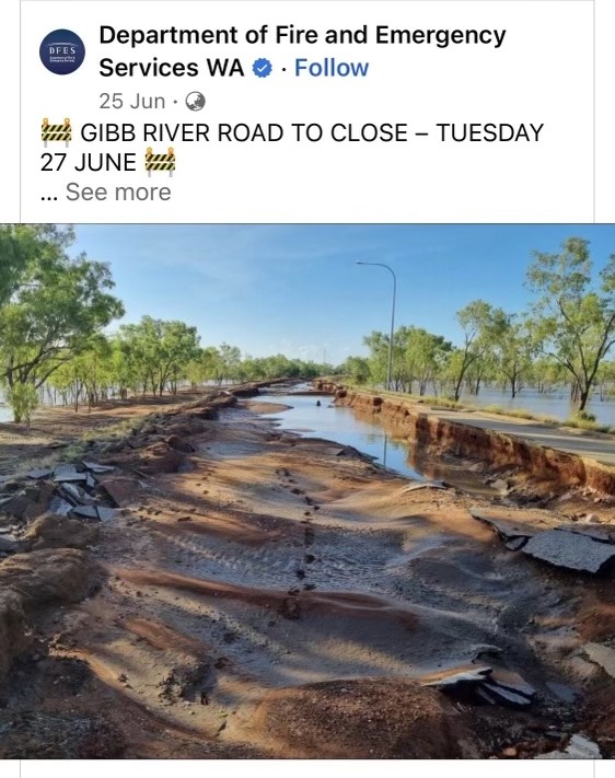
The Gibb River Road would normally not be closed in June but this year unseasonal heavy flooding caused the road to be cut making for extraordinarily long detours for those caught up in it ( news alert below): very glad we got through ahead of the closure – it’s a looooong way to go to have to turn back !
Lucky we travelled the famous Gibb River Road in May/June. Last week we heard that unseasonal rains had closed the road in the middle of high season. The road was just destroyed – shows how difficult it is to maintain these outback roads.
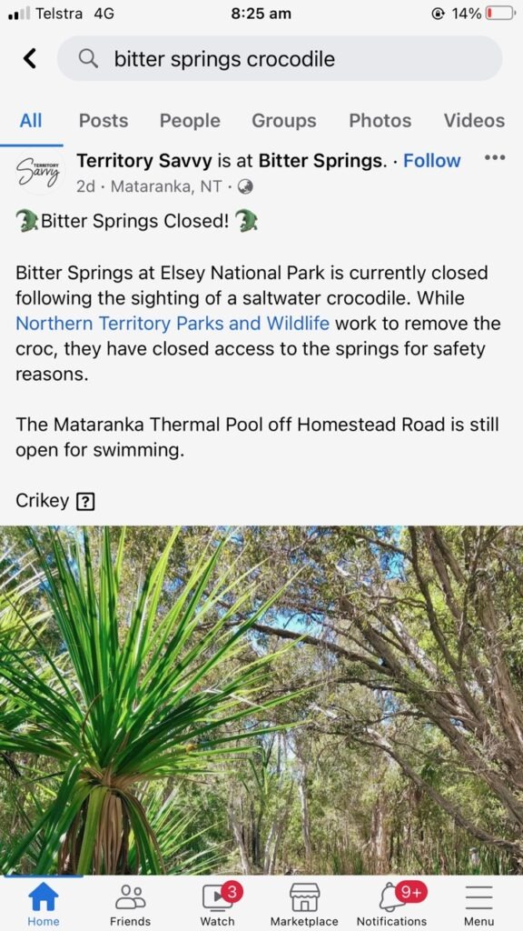
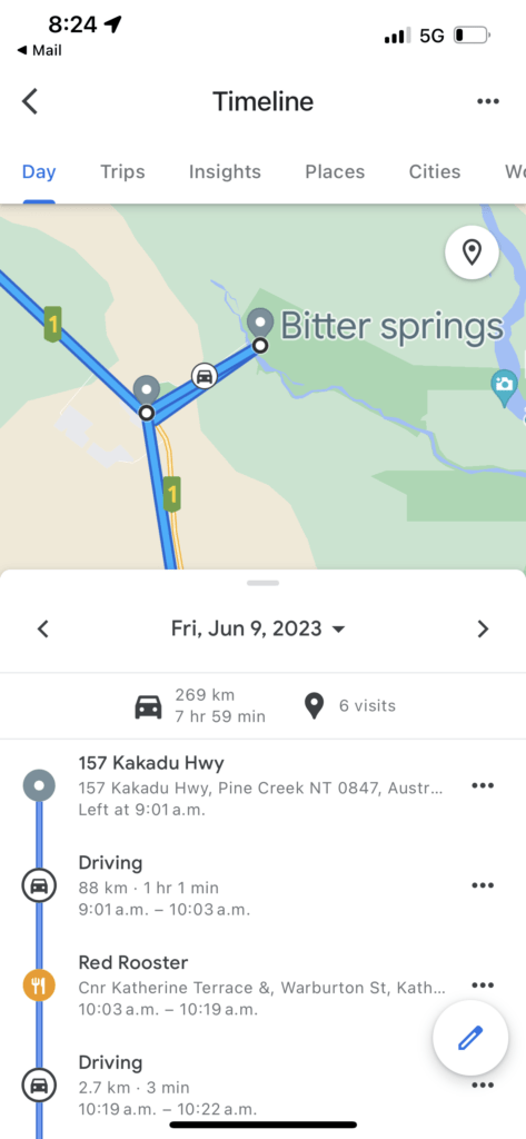
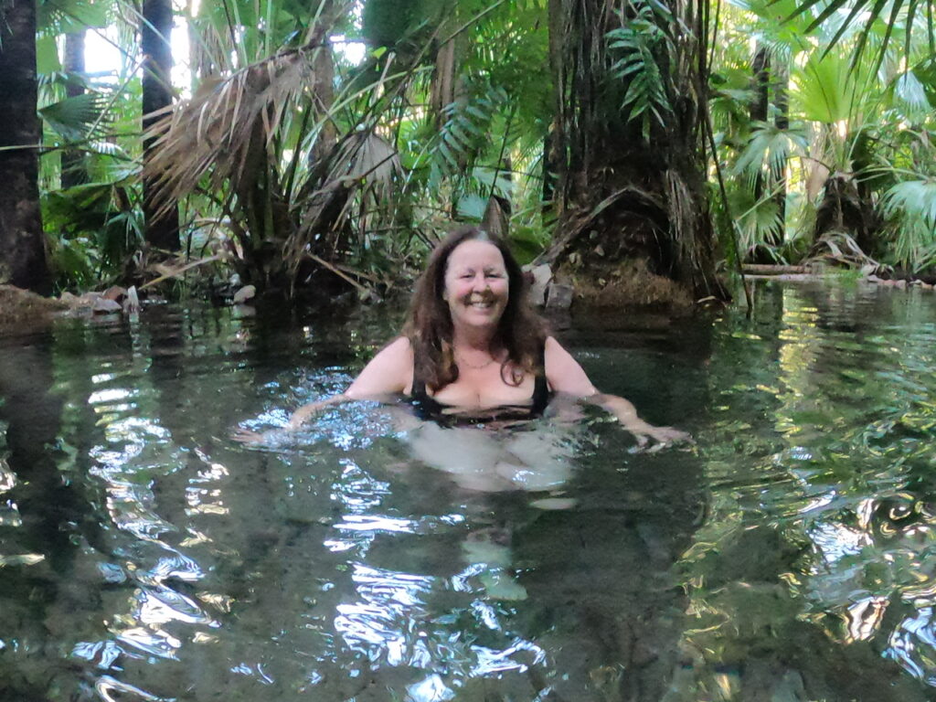
In the second, a saltwater crocodile ( yes, those are the nasty ones ) was recently spotted in the Bitter Springs thermal pools at Mataranka ( NT) forcing their temporary closure. It’s a place that’s normally full of tourists and school kids, some of whom were there at the time. We’d been there ourselves just a month or so ago so the news of the sighting and immediate closure struck pretty close to home. We’d always wondered how officials knew that “salties” were in some places and not others – clearly there’s a bit of guesswork in that. See story below ( we actually pulled up our GPS tracker to confirm we’d swum in those pools and not the other Mataranka hot pool – indeed we had !).
Saltwater crocodile sighting in popular tourist thermal pools.Yep, it was the one we’d been swimming in !
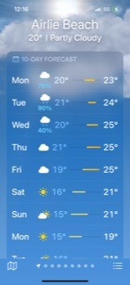
With only a few weeks to travel before a planned (northern ) summer break back in Canada, the weather app has taken over as our “compass” of sorts. Simply put, our aim was to maximize the hot weather at a time when both the season and direction we were headed would be gradually putting more cooler stuff in our path.
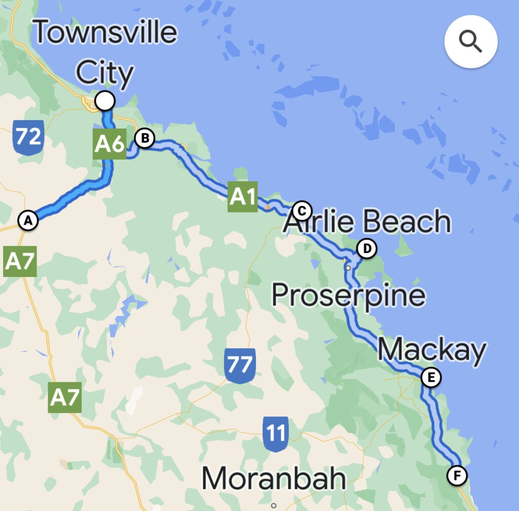
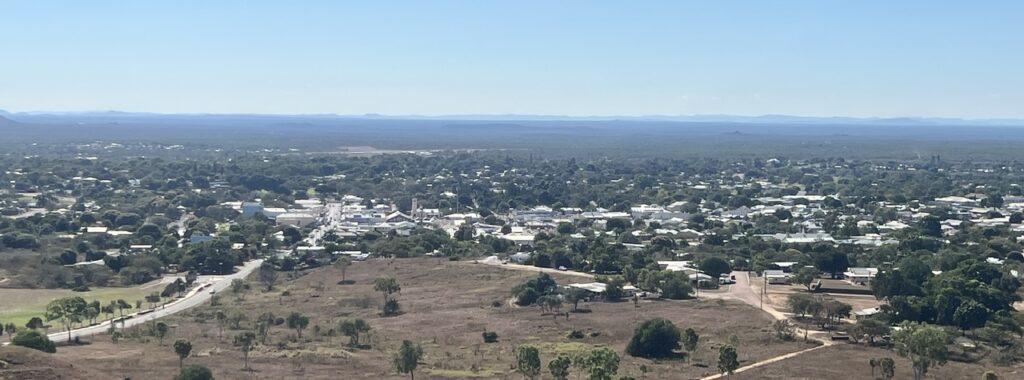
Our recent travels.View of Charters Towers.
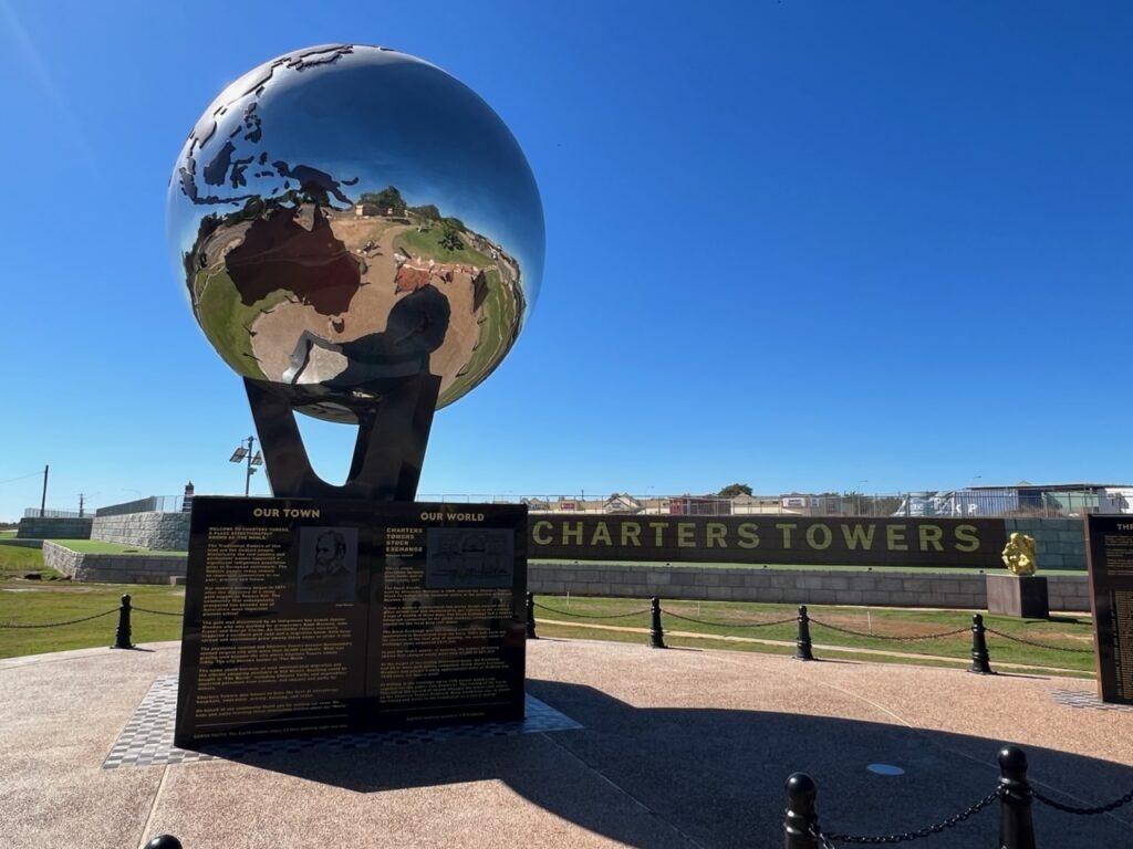
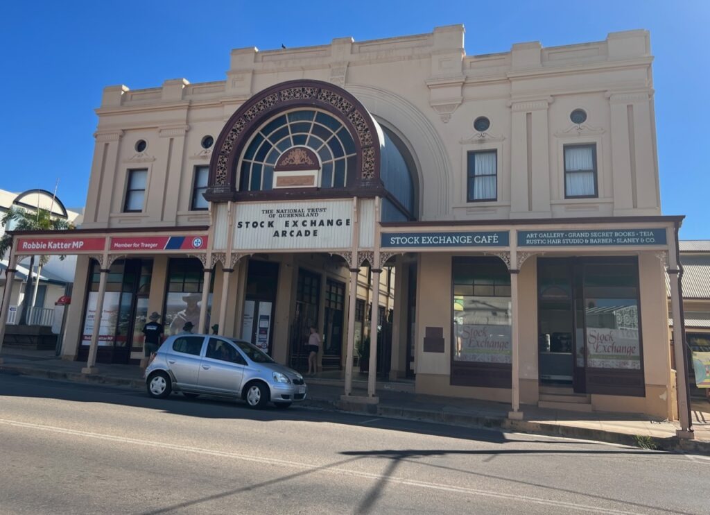
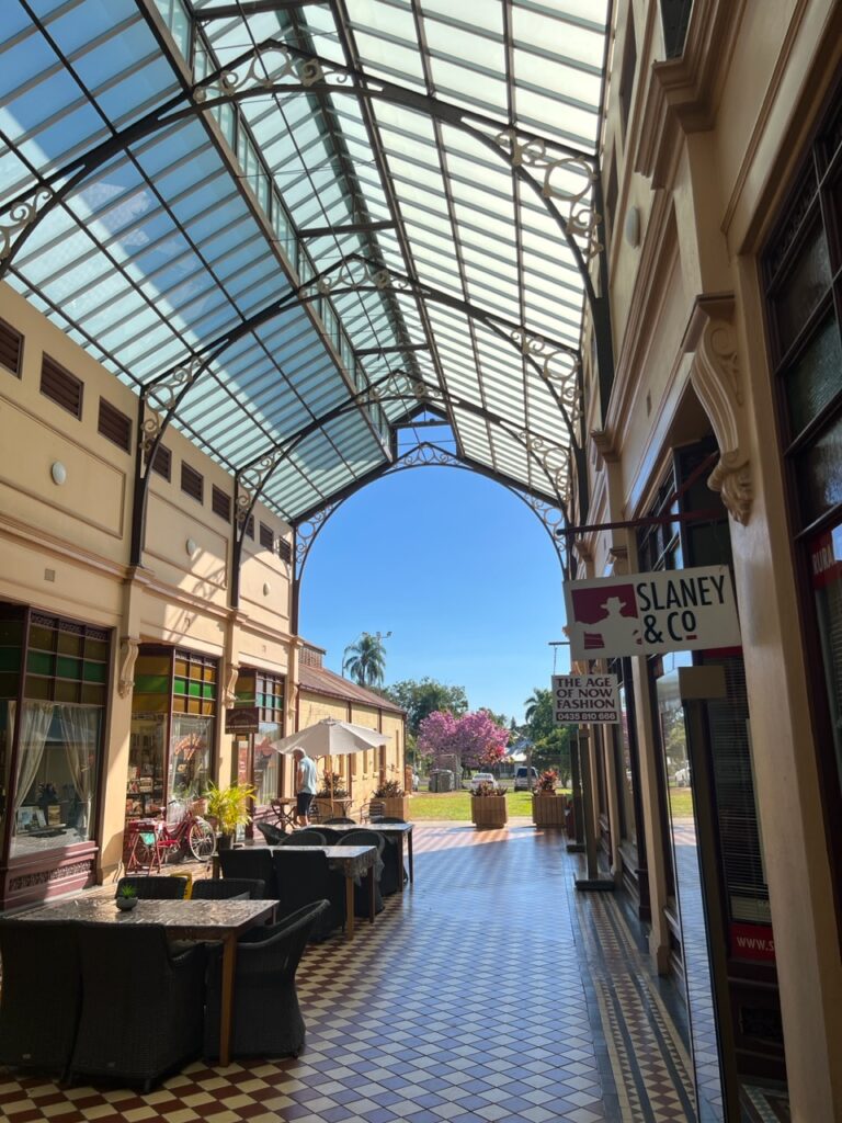
Prior to following the Bruce highway south, a short detour was made ( west) to the old gold mining town of Charters Towers. It met the “hot” test and the “historic” test – fortunes were made and lost in this town during the gold rush era ( and it still emanates affluence today with three large active mines driving the local economy ). Who would have known ( we didn’t ) that this small town once had its very own stock market ! The town is vibrant, prosperous, the locals super friendly – and it has one of the best visitor centres we’ve been to.
Back in the day Charters Towers was among the world’s top gold producing areas.There’s an impressive park that showcases its importance at that time.The classic old building that once housed the Charters Towers Stock Exchange.Much of the building has been tastefully restored.
Ducking back to the coast our route took us through Bowen ( one of Queensland’s most under -rated coastal towns ), Proserpine, Airlie Beach in the Whitsundays, and then on to Mackay. The good weather held for us in Bowen but by Proserpine the clouds were gathering and we only got an afternoon of the good stuff at Airlie Beach before the rains came. And came. And came ! Not “supposed” to be rainy season but there are exceptions to every rule. This was the exception! Disappointed with the Whitsundays weather, especially, since it meant our hopes of taking the tour boat out to pristine Whitehaven beach were dashed thus missing it’s main attraction- in three visits to this immensely popular town ( two in high season ) we have never had a clear run of weather . Perhaps we’ll get better weather further south, where we hope to get to stunning Fraser Island.
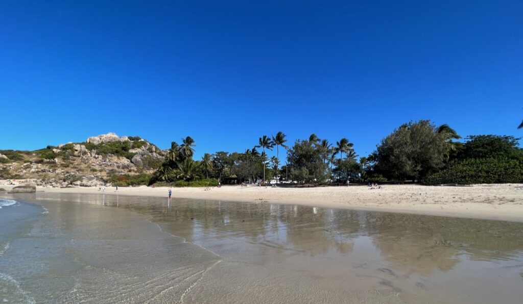
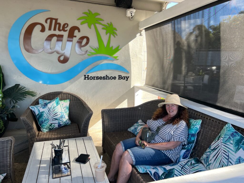
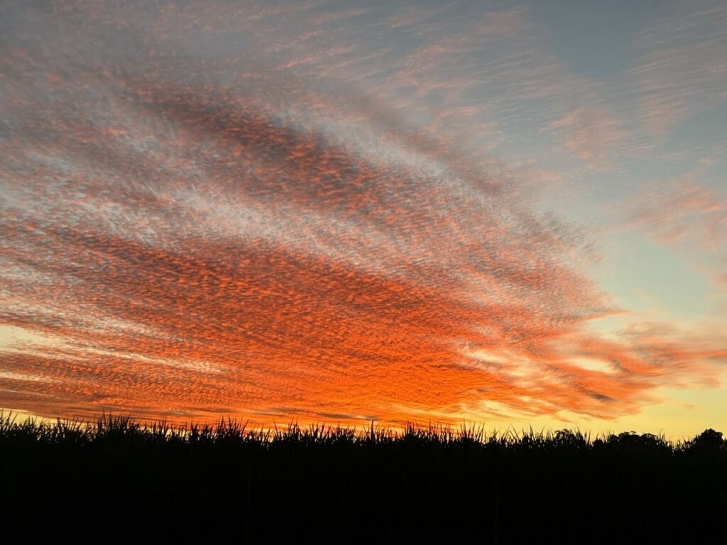
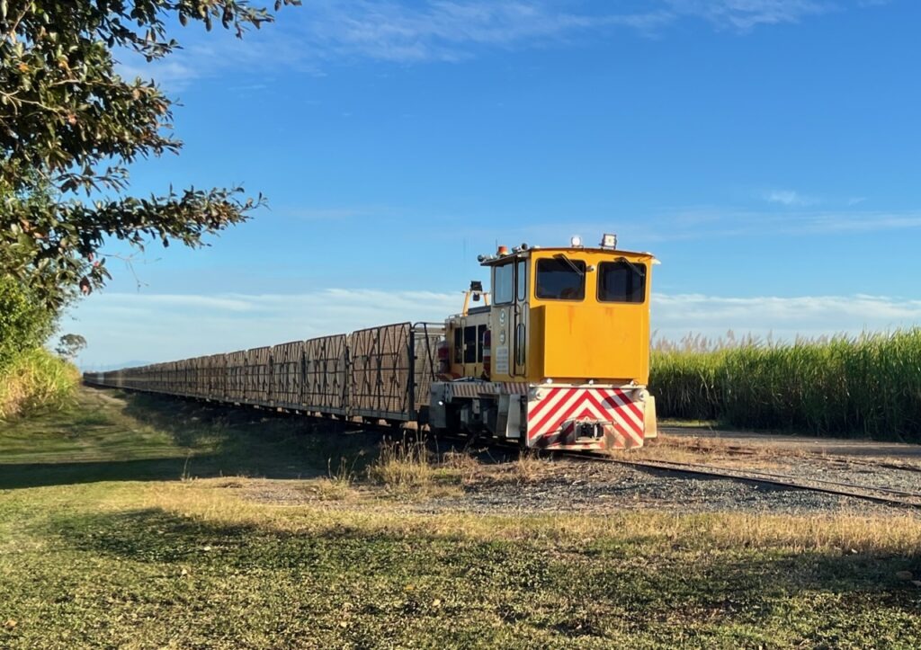
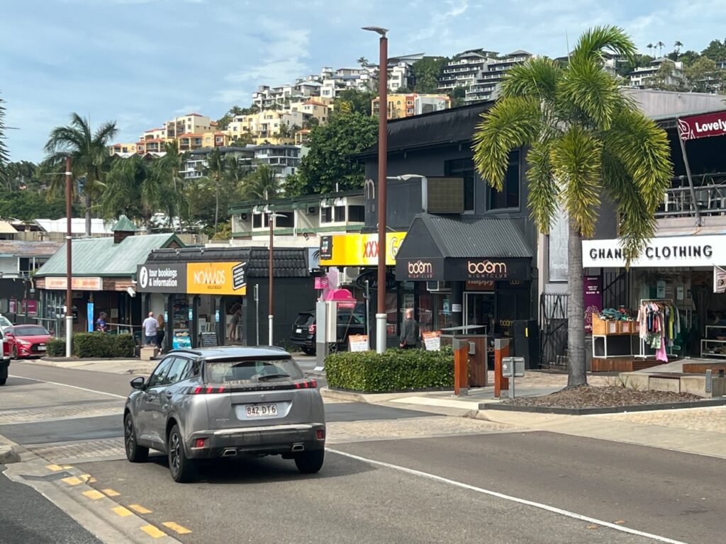
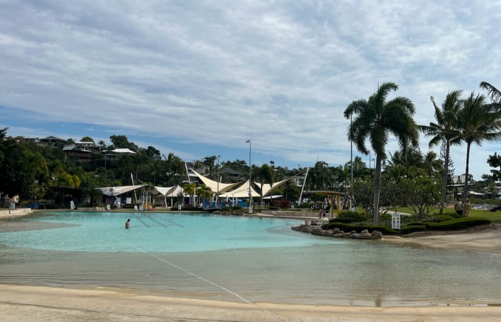
Tranquil Horseshoe Bay beach, Bowen.A little relax time. We have found some of the nicest cafe’s on the coast- here at one in Bowen. Looking for nice coffee shops has become part of our regular routine.Arrived in Proserpine in time to catch an unusual sunset….….and one of these unique little sugar cane trains passing our campsite the next morning.Downtown Airlie Beach. It’s become a trendy spot.Airline Beach’s waterfront “beach-like” public pool. Clouds were already coming in.Airlie Beach is a great spot but we can never seem to be there when the weather is good. We arrived on a Sunday afternoon – nice, but did not love it enough to wait 4 days for the weather to turn, and then only modestly for the better.Camped near Airlie Beach. Miserable weather !We had this for a couple of days on and off. Could not outrun it.
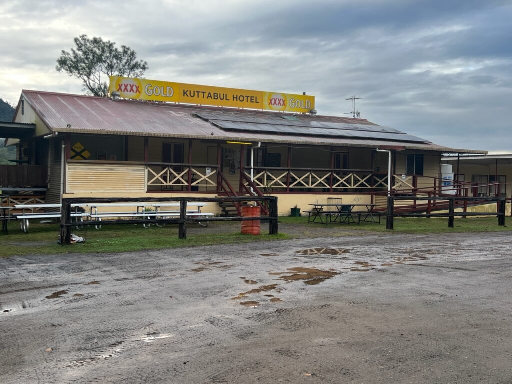
During the week we added a few hundred kms to our trip, exploring as we went, and, as always, looking for interesting park-ups ( camp spots ) where we could. We have had some wonderful (and memorable) ones on our travels – one such was the Kuttabul Pub just north of Mackay. Hugely popular with campers, it was a great layover with some of the best pub food we’ve tasted – very much living up to its reputation. “Pub camping”, as it’s known, is very popular right across the country – stay free as long as you eat/drink at the pub.
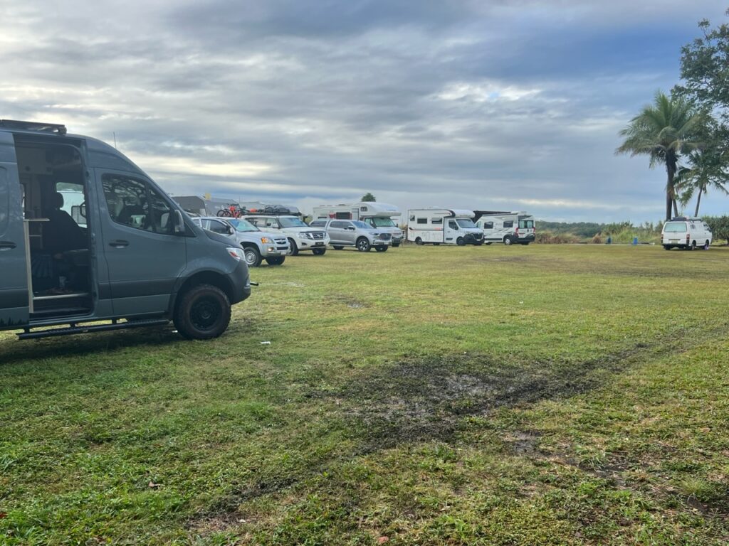
Approaching Mackay the rainy weather was still with us. Camped here at the legendary Kuttabul Hotel.Humid, colder, and soggy ground – when camping is no fun. Kuttabul Hotel.
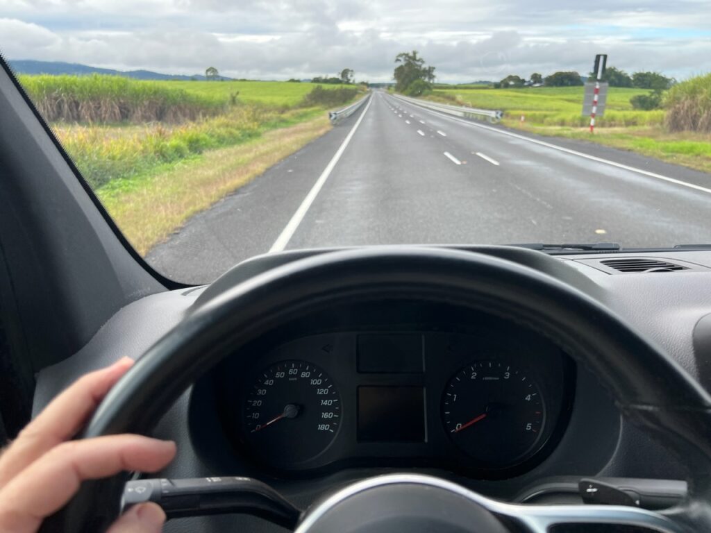
Waking up to a miserably wet morning, about to depart we had a moment of sheer terror as all the instruments on the dash of the van went blank. Like……BLANK. Not a single thing illuminated as the van was started. It started, fortunately, and we drove the 40kms into nearby Mackay very nervously as it alternated between complete darkness and then suddenly lighting up like a Christmas tree. Fortunately, there was a Mercedes dealer in Mackay, which we made our first port of call. They helpfully saw us on the spot and initially suspected a rodent had nibbled through a wiring harness ( usually a VERY costly and non-warrantable repair). We feared the worst.
Leaving the Kuttabul Hotel for the 40 km drive to Mackay, we had absolutely no visual display on the dash – at all ! An eerie experience. We were probably doing about 90km/h at this point but no way to tell !That neither sounds, nor looks, good ! Yikes !!!!! The dash display briefly came back to life as we arrived at the dealer in Mackay – the look on the technician’s face when he first saw this did not bring us any comfort ! After Cape York we did NOT need this kind of drama.
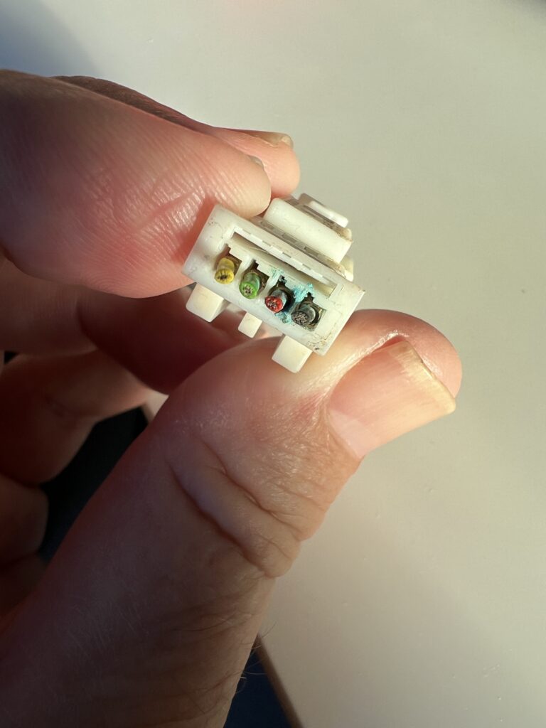
A few hours of nervous shopping later a call came from the Service Manager – fortunately a very simple problem ( a failed seal had allowed moisture to penetrate an electrical connection – which is warrantable ) with a simple solution ( reconnect with new pins and replace the seal ). All good and we were on our way the same day. A huuuuge relief …!
The culprit !
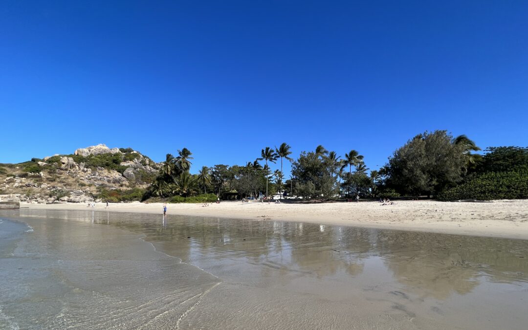
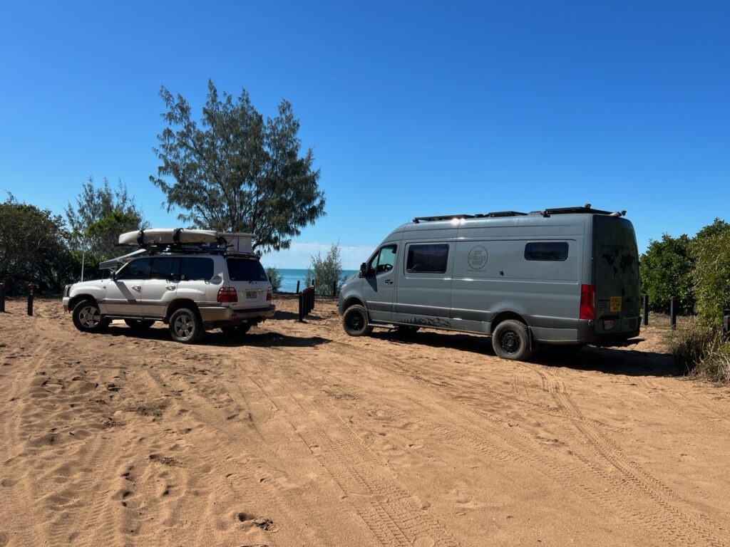
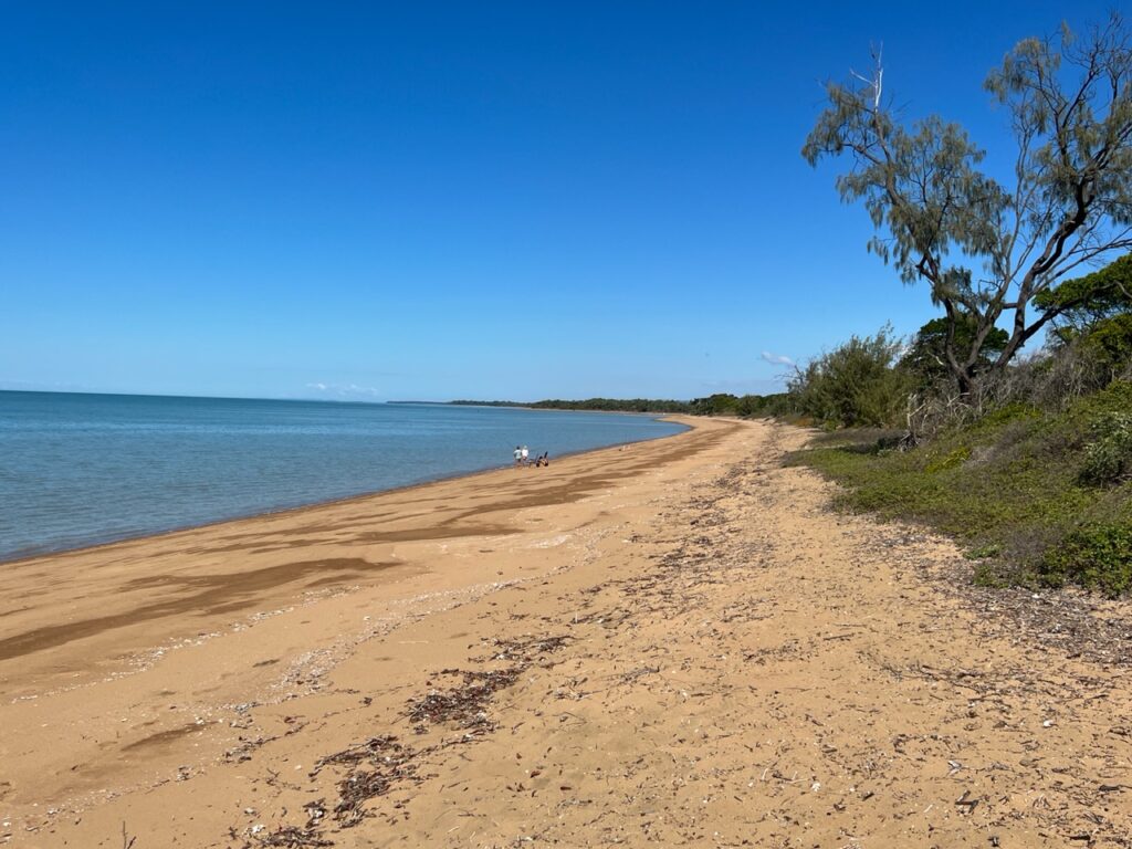
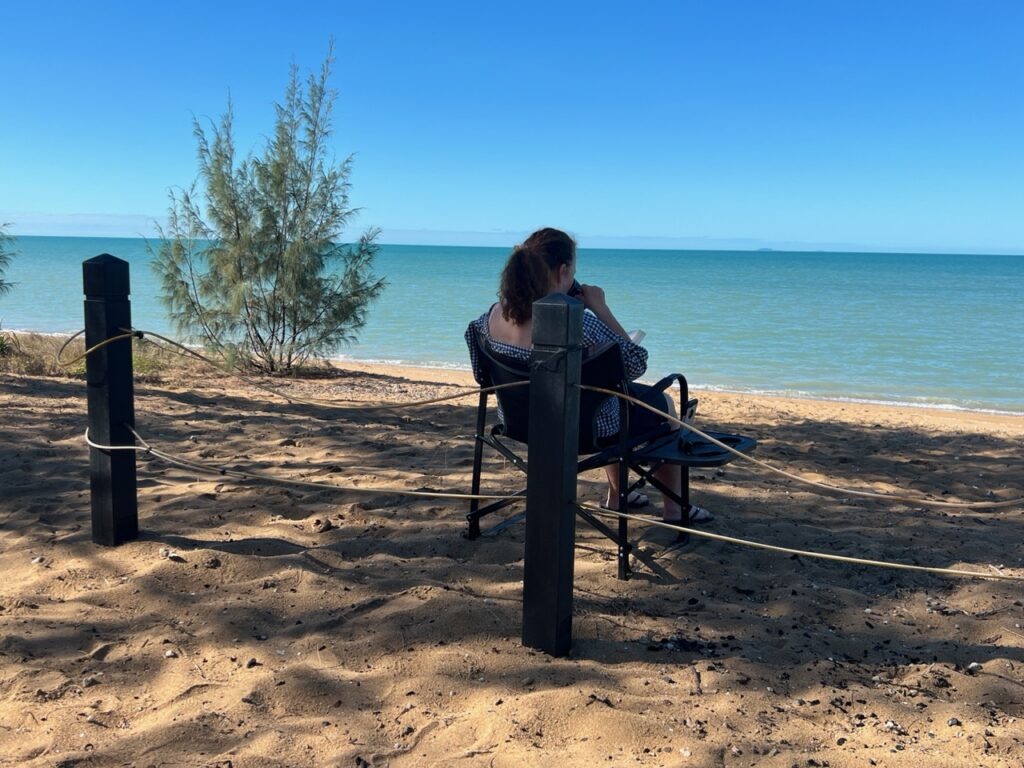
The dash drama behind us, weather now improving we decided to find a beach and just “chill” for a couple of days. Nearby Carmila beach filled the bill nicely – a beautiful, calm spot with few people around. Exactly what we needed. Heaven…!
Beachfront camping, Carmila beach, just south of MackayCarmila beachCarmila beach.
Comfortably ensconced in Cooktown, the recent drama on the Cape York track behind us, it was time for a reset of sorts. It was now July, we had a month before flying back to Canada in August and the beautiful Queensland coast lay ahead of us. Our unforced early exit from Cape York had now created more time for exploring the Queensland coast further to the south. Of all the places in Australia, though, this was the part we had already most travelled. So, what to explore in the month we had ? We’d had our fill of Great Barrier Reef islands, though we thought stunning Whitehaven beach ( in the Whitsundays ) definitely warranted a visit so plugged that in to our agenda. There was some great pub camping en route, a bunch of wonderful little historic towns, a few of the bigger cities we liked and could revisit, and a number of national parks we’d missed – yes, on reflection, there was definitely a month of “stuff” to fill our July!
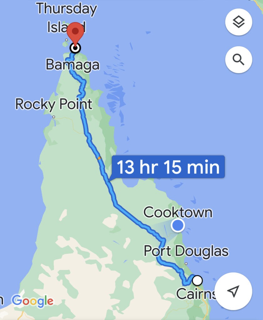
Coastal route south of Cooktown to Cairns via Daintree.
Timing of our next moves though, presented a quandary of sorts – stay north longer (where it was still warmer, but you basically can’t use the beaches for swimming ) or move further south more quickly ( it would get cooler faster, but the beaches were swimmable ). While we ruminated over this, there were also multiple route options to think about, most immediately a choice between two as we departed Cooktown; the rather more circuitous and longer back road via Lakeland and Mareeba, or the shorter, more mountainous ( but prettier) route via Bloomfield and Cape Tribulation/Daintree. Having done the former route 3 times we opted for the coastal route via Cape Tribulation.
Croc Point, near Cooktown, where one can normally reliably spot a big croc or two. No such luck when we visited 😞
The road initially ambles through a windy, lush valley passing the small communities of Rossville, Bloomfield and Wujal Wujal. The legendary Lions Den Pub is a requisite stopover on the route – one of the many quirky, historic local pubs that dot the rural Queensland landscape. Too early in the day for a beer so we settled for a coffee and tea and some time to explore what it had to offer. Not quite up there with the Daly Waters Pub in terms of fame, or “quirkiness”, but we can certainly see why it qualifies as a local institution. Definitely worth a look !
Scenery near Bloomfield.Lions Den Hotel.Ditto.Aussie pubs are famous for their classic signage – the Lions Den was no exception.
Surprisingly for a “coastal” route there is actually very limited exposure to the coast ( until Cape Trib ) but the creeks, rivers, waterfalls and lush green mountains made for a more than suitable substitute in the meantime. En route there is one fairly rough section, all gravel, for about 40kms with a few water crossings ( the existence of which one is well-advised at the beginning). We found these all to be trouble-free but were more than a bit surprised by the steepness of the grade on several mountain passes – one a 23% incline ( 1st gear all the way! ), followed, almost immediately, by another of 20%. Probably two of the steepest we’ve ever encountered.
Surprised there was nothing about the 23% grades !Just one of the very steep climb/descents.
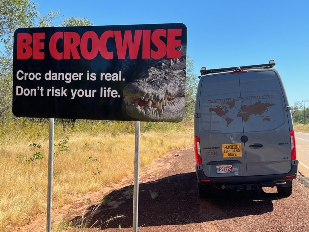
Cape Tribulation ( a real travellers favourite ) soon comes into view and there are several stops with walks, beach and headland viewpoints. Tempting as it was to enjoy the water, one is reminded ( quite literally, at every beach ) of the seasonal stinging jellyfish risk and ( year round) saltwater crocodile risk. They pull no punches – enter the water here at your own risk. We opted to walk the beach rather than swim it.
At least the steep grades were not gravel – the grooved concrete helped with traction.Every beach in the area warned of stingers and crocodiles. No one was swimming !Croc warning.Cape Trib beach.Cape Trib beach. Wide open and beautiful.
Within the Cape Tribulation area is stunning Daintree Rainforest. It’s become globally known and is one of the prettiest parts of the coastal drive. We stayed in Daintree village itself, just a short drive from the Daintree river ferry crossing. From Daintree the route to Cairns passes Mossman and trendy Port Douglas, winding out of the hills and lush rainforest and pretty well hugging the coastline all the way into Cairns itself.
Coastal view from/near Daintree.Quaint Daintree village.Saw this sign at Daintree and realized we still had quite a long way to go ( south ) to be out of croc territory.Daintree area beach.Famous Daintree ferry. Port Douglas viewpoint- people were swimming here ( a guarded beach ), but stinger warnings still in effect.Port Douglas – Four Mile Beach. Beautiful spot but caution still required. We were by now getting VERY tired of seeing these signs everywhere !“Lois – we already have enough clothes for the grand baby !”. Excellent shopping in Port Douglas.
Interesting to get back into Cairns – the infamous “red dust” all over our rig betraying to all our camping neighbours that we had just returned from Cape York – some didn’t even ask “where” we’d been but simply allowed a smug “How was it ?”. As I mentioned previously a large majority of Cairns campers were either coming from or going to Cape York with any returnees being eagerly questioned as to the status of the roads and creek crossings. Nice, this time, to be among the returnees !
En route to our destination of Townsville, the town of Ingham is a required stop. Certainly, at least, for anyone with an interest in Australian country music, for it is here one can enjoy a pint at the iconic Lees Hotel, the original “Pub With No Beer”. Legendary Australian country singer Slim Dusty recorded a song of the same name that became a worldwide hit in 1957, a song based on events that occurred right here at this very pub during the early days of WW2. Fascinating stuff.
The original “Pub With No Beer”.The one and only, Slim DustyThey had beer this time !Battle of the Coral Sea WW2 Memorial, Cardwell.Not quite Napier ( NZ ) but Innisfail had quite a bit of impressive Art Deco.
Townsville was the next major place of note down the Bruce Highway ( Hwy 1 ) and was much as we remembered it from previous visits. A major regional centre, right on the coast, it offered us excellent shopping options and the chance for the local Mercedes dealer to remedy a nagging issue we’d had with the vehicle emission system ( really, the main purpose of our visit on this occasion). All sorted quickly, and should fortunately be covered by our warranty in Canada. The long beachfront is really well set up for visitors- we walked the length of it – a lot of boutiquey cafe’s, and water parks for kids as well as Kissing Point fort, dating back to Townsville’s earliest days.
The Strand, beachfront, Townsville.Almost every beach in Australia has a no-charge barbecue available for public use. Not something you see everywhere in the world…!
Next week we make a short diversion inland to a historic gold mining town, before continuing south.
Regular readers will likely recall our recent travels on The Gibb River Road and the Oodnadatta Track. Both are actually on the way to somewhere else – there is, then, much more beyond the final destinations on those two tracks. Not so the Cape York track. Once you’ve made it to the top you simply turn around and do it all over again, albeit typically with a few scenic detours. So, with Cape York successfully reached, we pointed the van south and started thinking about the diversions we might take on the way back down.
Collateral damage on the Cape York trip. There would be more to come …….And now the return – watch the low hanging branch !Always best to let someone else go first on the deeper crossings!It was tight passing oncoming cars near the top, such maneuvers often requiring one vehicle to back up.One of the myriad hazards on the PDR…..…..especially nasty if you hit them at any speed Back to the Jardine River ferry crossing – this time it was “free” 😉
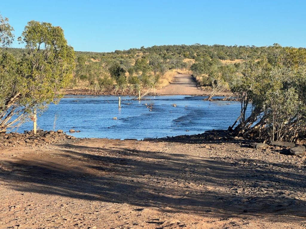
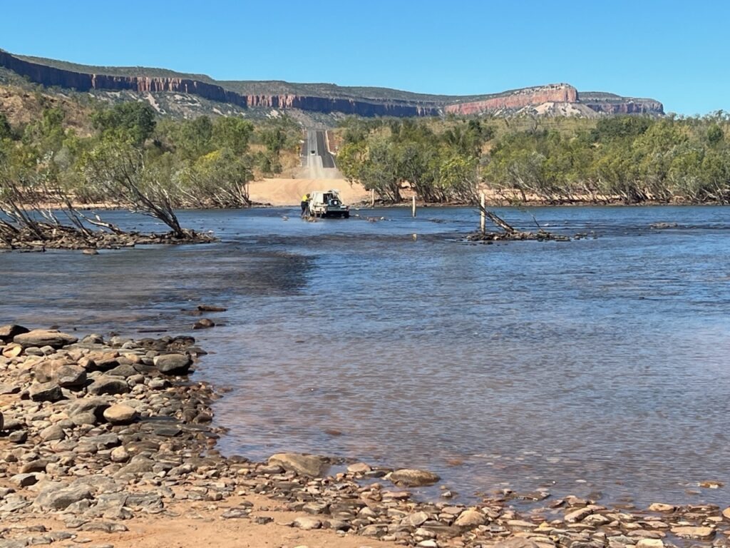
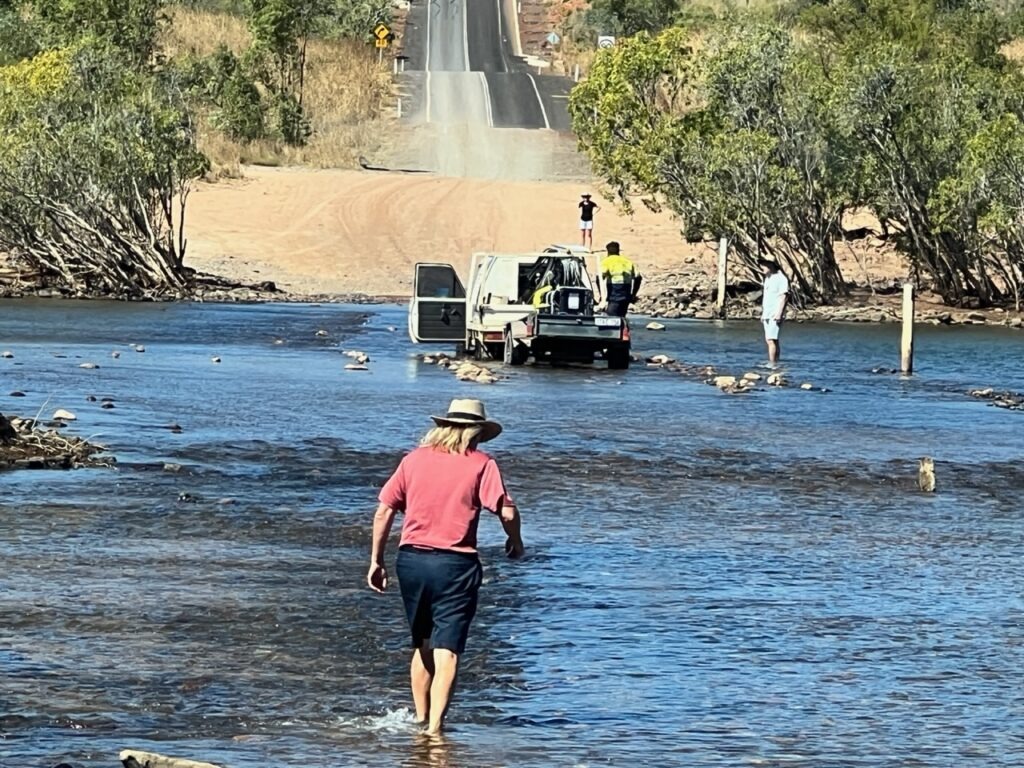
Re-crossing the Jardine River, the first short excursion off the track is Fruit Bat Falls. It’s on a delightful section of the river which is warm, crocodile free and has a fairly shallow waterfall- a pit stop for most weary Cape Yorkers either coming or going and a very enjoyable swim regardless. We were looking forward to several more as we headed back south.
Fruit Bat Falls – our first ( it would be our only ) detour off the main road on the return journey.You can swim right up ( and under ) the falls.The water was warm – and no crocs in this section of the river.Fruit Bat Falls.
One “diversion” we had no plans to take was the alternate route known as the OTT (Old Telegraph Track). Diehard 4×4’ers revel in this very challenging shortcut, famed for its more difficult obstructions and much deeper creek crossings, one specifically, at “Gunshot Creek”. I pulled a clip from a Cape York travel website so readers can get a sense of just how crazy this track can be – most, including ourselves, give this section a very wide berth ! Not possible in a long wheel base 4×4 Sprinter in any case. Check it out…….
Contemplation of the OTT option would be moot anyway as we soon faced a rather more serious problem – just after leaving Fruitbat Falls, and quite late in the day we got a flat tire ( the first flat in over 80,000kms of overland travel so can’t really complain ). CertaInly not normally an insurmountable issue ( we carry a spare, and a tire repair kit ) but this was no simple flat tire and in the course of that evening and the early hours of the next day we would become painfully aware of the very precarious situation we had gotten ourselves into. The good news was that, through a stroke of sheer good luck and the kindness of total strangers it all ended well but we had a very stressful night and next day until we reached Coen (over 350kms further south ) and had it replaced. To spare our casual readers the sordid details and complications that emanated from what was a glaring preparatory oversight on my part, I’ll describe the 24 hours that followed the “flat” experience in an appendix at the end of this blog. If you’re up for a roller- coaster saga of sorts, then by all means read it, but if you’re happy just to know we survived ok you can save yourself the few extra minutes of reading – you’ve been warned !
Needless to say the flat experience (and driving restrictions that followed ) meant that our return trip ( to Cooktown this time, rather than Cairns ) would be as direct as the trip up. We simply could not risk any detours driving, as we were, with no ability to change a tire. Another flat ( and plenty of people were getting them ) would spell disaster so it was half-speed ahead ( 40-50km/h ) all the way to Laura until we were safely on continuous bitumen. Almost 600kms of very slow progress ! In time we reached permanent bitumen – no guarantee you can’t have a flat tire there but far less likely than on stony gravel roads – and once back to normal speeds we were soon in historic Cooktown.
View over the Endeavour River, Cooktown, named after Cook’s ship which famously ran aground on a reef near current day Cooktown.
Cooktown is a very pretty town and has a real South Pacific island feel to it- the scenery, the well preserved architecture – and of course, a ton of history. Synonymous with the great British naval captain ( James Cook ) after whom it is named, the town’s river also bears the name of Cook’s famous ship, the Endeavour. The story of how Cook became stuck in the town is a fascinating one, and has been taught to every Aussie school kid. They have certainly done a great job of memorializing him in Cooktown – the statues, the many plaques and the lookout all remind visitors of his skills as a seaman and his lasting impact on Cooktown itself.
Captain James Cook memorial, Cooktown.View out to the Coral Sea from Cooktown lookout.And the great man himself – Captain James Cook
Till next week ( and the drive south )…..
Appendix: How A “Simple” Flat Tire Caused 24 Hours Of Gut Wrenching Stress !
I’ll make a very long saga with the flat as brief as I can but need to back up here a couple of years first. Many who buy a Sprinter 4×4 and do a camper build ( as we did ) will switch out the stock 16” wheels (and rather lame OEM tires) for larger 17” wheels and more aggressive A/T tires. We chose very nice Black Rhino wheels and tried and true BFG KO2 tires. In order that the diameter of the original 16” spare wheel/tire ( which we kept ) matched the 4 new 17” wheel/tire combos, we had to modify the tire size on the spare wheel. This, fortunately, we had the presence of mind to do long before we left Canada.
Now, all 5 wheel/tires were compatible in the event of a flat. I went a step further – carefully read the manual re the tire changing process, tested the jack, ensured all relevant parts were where they should be (scattered, in the case of a Sprinter !) and finally, made sure I knew how to lower the spare and could remove it – I did not want to learn this on a remote Australian track !
Good planning, you might be thinking ( I was ). Not so fast. What I had not tested was that the existing Mercedes wheel wrench would fit the ( new ) bolts that came with the new alloy wheels. Nor, sadly, did I ensure that the stock Mercedes wrench had a deep enough “head” to reach said nuts that were ( now ) deeply recessed on the much thicker new alloy wheels. So, here we sat, dusk approaching, far from help, a rapidly deflating tire ( it was not at this point dead flat ) and we could not remove the wheel/tire from the van to switch it with the spare. There was just no way. As desperate as that sounds it was just the beginning of our troubles. Things would soon get much worse.
We had just left Fruit Bat Falls when disaster struck. A flat tire. Normally,not an issue as we carry a spare of course. But……you need to be able to get the flat tire off your van first. Had just lowered the spare only to have to put it right back again.The tire wrench would not reach the wheel nuts and in any case it was not the right size !!! Oh, my. Oh, my.
Fortunately our compressor was strong enough to inflate the tire to make it driveable, but it would require stops every 15 mins just to keep it inflated – that would make for VERY slow progress heading back to Cooktown or Cairns, almost 1,000kms away. And that was “if” the tire leak did not get worse and “if” we did not get another flat. We considered returning to Bamaga, the nearest town – but that would put us even further from civilization, involve another ferry crossing, and still offer no guarantee of a solution – my tires being 17” ( a much less common size in Australia). I was pretty sure the leak was from a hole in the tire sidewall and it would need replacing since such holes are nigh on impossible to repair. We decided to continue south to the nearest roadside pullout, rest for the night and look for help at Bramwell Roadhouse, about 50kms away. We knew the tire would be dead flat in the am but with our compressor we could inflate it enough to reach Bramwell – or so we thought.
Things then turned briefly for the better – we soon found a nice pullout, limped in and found a level spot to park. Already parked in this large pullout were Warren and Helen, a very helpful couple. Warren, an ex-truck driver carried a considerable array of tools – most importantly a 17mm socket that matched my wheel nuts. While he had no suitable wheel wrench or breaker bar, he carried an electric impact drill which he said “could remove bolts even off large truck tires”. Surely it would get the bolts off my wheels so we could then change it with the spare. You might think. Despite multiple attempts the bolts could not be removed. Warren was perplexed and it was obvious from the look on his face that he feared there was no way the wheel would ever come off the van, certainly with the tools we were likely to have at our disposal out here.
Warren, who me met on the road side ( camping ). Helped us identify the source of the leak. Sadly, the tire had a sidewall cut ( irreparable). Could we nurse it to Coen where we “might” get a replacement?Try as we might the “rattle gun” (impact power tool) could not remove the wheel bolts.
We slept little that night thinking the worst – that I’d need to call for a flatbed truck to carry us off the Cape York track (we’d seen two others exit Cape York this way ), and based on our proximity to the top that would easily run many, many thousands of dollars. Worse, it could be days away. Of course no mobile phone reception out here.
As expected in the am the tire was dead flat. This time however, when inflating it, the tire would NOT hold air. Any air. At all. It escaped as fast as it was pumped in. Turns out the sidewall hole was right on the bottom of where the tire came to rest and the distortion caused by the weight of the vehicle resting on it had actually widened the hole so much that all the air that went in just as quickly escaped. Now we faced the real prospect that we could not even limp in to Bramwell Roadhouse. We’d need to be picked up where we were, far from anywhere.. At this point Lois suggested putting the jack under the van to lift it up thus allowing the tire to take its regular shape – perhaps then it just “might” hold some air ? Lo and behold it did, much to our relief, so we pumped as much air in as we could and began a very slow crawl to Bramwell with Warren and Helen playing wingman behind us. Four “air” stops and 90 minutes later we made Bramwell where we had expected mechanical assistance to be available. There was none; “Try Bamaga or Weipa”, they told us ( both much too far on rough tracks for our failing tire to survive ). At this point our tolerance for further bad news was truly limited, but things just did not look good.
From near Fruit Bat Falls to the next roadhouse ( Bramwell ) was slow progress. We had to stop multiple times to pump air into a rapidly deflating tire. The 50kms took 90 minutes but we eventually limped in.
What to do ? Possibly, just possibly, if we could find someone with an extended wheel brace/wrench (or heavy duty breaker bar) the gradual manual tension that these tools could apply to the very tight nuts might just allow us to remove the troublesome wheel, where the power tool had failed. We had zero other options. The first guy I approached, “Chris”, advised he may have just the solution – a long breaker bar and a crisp new 17mm socket. Dashing back to the van we immediately tried to remove the wheel nuts – one by one they were pried loose. Praise the lord !
We’d arrived at Bramwell Roadhouse and set up shop on a flat piece of ground. So now to find someone that had a wheel brace/socket sized for our wheel that might allow us to remove the nuts where Warren’s impact drill could not. Our saviours – Warren who helped us identify the issues and played “wingman” as we limped into Bramwell Roadhouse, and Chris, who lent us the necessary breaker bar and 17mm socket that enabled us to remove the wheel with the flat tire.Thank god for the breaker bar !
Wth the old wheel/tire off we rested the spare against the axle and were about to fit it when disaster struck – the park brake had not been properly applied ( in our excitement at finding the right tool we all jumped into the wheel change without checking ) and the van partially rolled off the jack, nearly hitting Warren who was setting up right near the wheel. No harm to Warren, thank goodness, but a lucky miss it was. Fortunately, and miraculously, also no damage to the disc brake assembly which had landed partially on the free standing spare wheel as the van had moved slightly. Twin disasters averted. The spare was then quickly installed thanks to the borrowed tool and we could now travel, albeit still slowly, to the first place where the damaged tire could be replaced – likely Coen, still over 230kms away, mostly on very rough gravel. We now had a good tire- but no tools to change it – so avoiding a further flat was the top priority.
Warren, checking the tightness of the spare wheel nuts. A near miss in fitting the wheel when the van partially rolled off the jack ( fortunately no one hurt and no damage to the brake disc).
Five more hours of very slow driving to minimize any risk of a second flat and we made Coen very late the next day. Fortunately the only mechanic in town ( who does double duty as a tire guy ) had just one compatible tire in stock – more a road tire than an All-Terrain, but it was the right size. It would do the job – any port in a storm as they say ! Better yet, it was Friday night at 6pm, and he offered to stay to do it on the spot . Did I say we were saved by the kindness of two strangers ? I meant three !
With no spare and no wheel brace we did not dare challenge so much as 1 extra kilometre of unnecessary gravel road. Lockhart River was one such popular detour. We’d be ecstatic just to make Cooktown without further mishap.While we now had our spare tire on, we had no way of making another change if we got a second flat. From the time we changed the flat tire till we got to Coen, our eyes stayed glued to the TPMS display on the dash !Even on the good, wide open sections of gravel we stayed at about 40-50km/h to reduce any risk of another flat.Coen – and the ever helpful Marijn was able to replace our ruined tire . He had just ONE suitable tire in stock. Not a “brand” or style match but the size was bang on. We took it without debate. Now at least we had a spare – even if we still had no wrench to change it !While Marijn worked his magic on the tires we enjoyed some Friday night entertainment at the pub next door. The biggest hurdle was finally behind us.We enjoyed some entertainment at the pub next door….his Jimmy Buffett songs were impressive !Entertainment on Friday night at the Exchange Hotel, Coen…..a very nice way to celebrate the end of a brutal 24 hours !
From Coen we had better roads and by Cooktown we were able to purchase a new 17mm wheel wrench giving us the ability to change any future flats, a huge relief – saga over.
Moral of this story:
Never assume your wheel wrench fits the nuts on your new wheels when you swap out the stock wheels !!!!!!
No matter where one looks around the globe, there’s a “highest”, “lowest”, “furthest south”, “furthest north” ( and so on and so on ) place that folks want desperately to visit. Australia is no exception and of all points on the compass the big one is indisputably the road ( in many parts barely a track ) to the very tip of Cape York – the furthest northerly point on the Australian continent. Having completed a north to south crossing of the Americas it seemed logical enough that, in addition to a “full lap” around the Australian continent we’d at least attempt Cape York while we were this far north giving us a shot at adding the southern extremity later when we revisit southern Australia. In for a penny in for a pound as the Brits say, the decision was made: bring on Cape York!
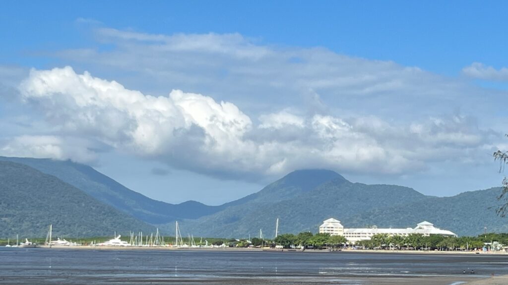
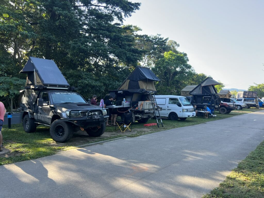
The route to the top.Cairns skyline from across the bay.Cairns campground – many were preparing to challenge Cape York.Leaving Cairns.Scenic road just outside Cairns, near Kuranda.
Having arrived in Cairns the week before, and with our sightseeing and resupply done, we felt ready to begin the trip. Critical in the planning process was to beat the Queensland school holidays ( and we had, just ) at which point the track becomes very busy, badly torn up, and vehicle access to the point ( the very tip, or “Pajinka” as it’s known locally ) can actually be a real challenge. With a 1,000 km + drive ahead of us we did not want to be following any more vehicle dust clouds than absolutely necessary and we obviously wanted to be able to drive absolutely as far as possible – ideally, all the way to Pajinka. Like most, our preference was to push hard early, go direct to the top, then meander back down making time for at least a few of the many side tracks that branch off the main north-south route ( officially known as the Peninsular Development Road, or PDR ).
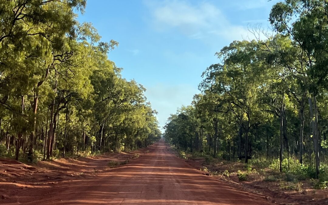
Heading out of Cairns one first passes the coffee producing town of Mareeba ( heaven for Lois ! ), before reaching Lakeland and then on to Laura. This first part is uneventful, a decent road, and the surface is all bitumen. From Laura on, the gravel begins although there are short stretches of bitumen here and there all the way up ( “teasers”, we started calling them ).
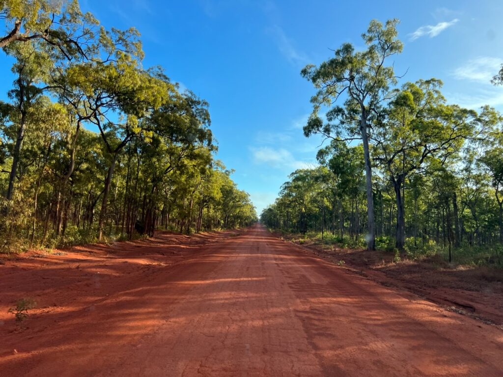
It’s fair to say that many parts of the gravel sections are actually in very good condition – better, in fact, than we had expected. What’s also true is that there are significant parts that are in atrocious condition. If the Oodnadatta Track and Gibb River Road had introduced us to some of the country’s most brutal corrugations ( both wide and deep ), the Cape York PDR was right up there with them in terms of severity ( if not, perhaps, in terms of continuity ). You’d come upon them suddenly, without warning, often hidden by tree shadows crossing the track. We’d slow down anticipating bad ones only to realize there were none, then get caught unawares feeling them when you could not see them. The drive was quite stressful as a result.
Pit stop in Coen – everyone heading north !Coen – a mid way pit stop on the run to the top.
There is no town of any meaningful size after Mareeba but there are several roadhouses where travellers can get fuel and basic supplies en route. These were always interesting pit stops and part of the Cape York experience was stopping in to stock up and chat with those coming south as to the quality of the road ahead and depth of creek crossings ( the topics on every north-bound traveller’s mind ! ). Coen ( mid way up ) and Bamaga ( almost at the Cape ) are really only small villages – one comes with any spares and specific tools one might need ( we would learn this the hard way on the way back down ! ). There is of course the mining town of Weipa but it is well off the main track – one of the detours some choose to make.
A section of road near the Hann River roadhouse. Not bad right here.A bunch of rigs stopped at Archer River roadhouse.…..and the gravel road begins .A particularly bumpy stretch.Meeting oncoming traffic was always nerve wracking on the gravel sections – smothered in dust one minute, getting a windshield chip the next. We picked up two more on the way ( the Tom Price repair kit came in very handy again ).Here, parked up for the night on a roadside pullout near Bramwell Junction roadhouse.Close up look at a typical corrugated road.
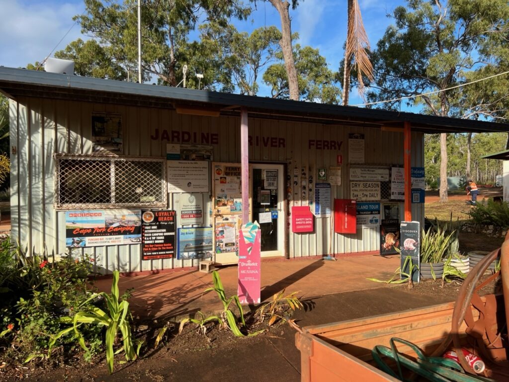
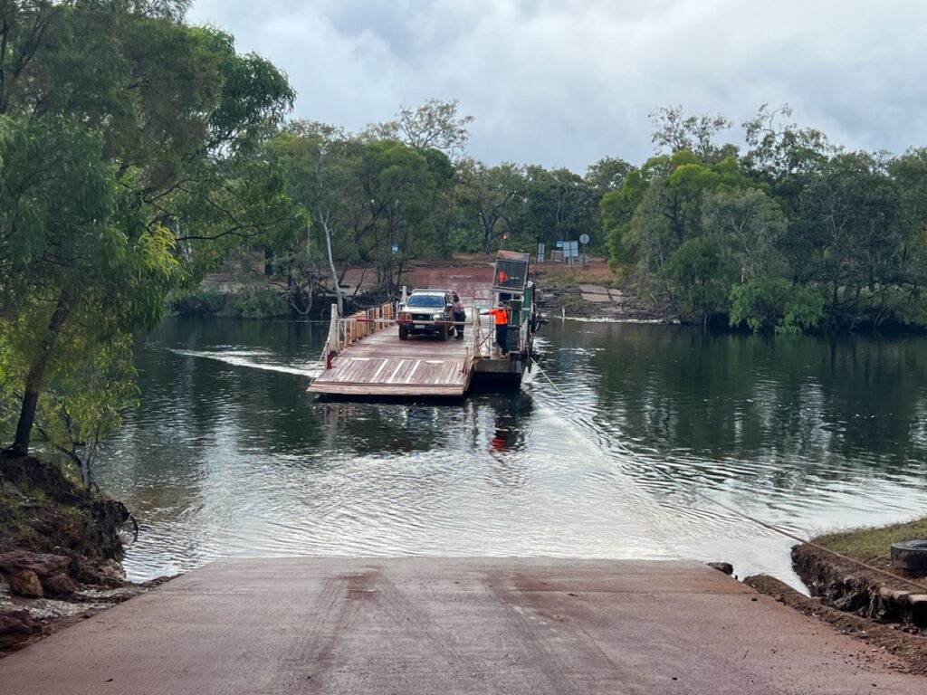
Approaching the very top of Cape York, the Jardine River must be crossed on a ferry – unlike the ( many ) other water crossings It’s simply too wide and too deep to drive through. It’s a simple cable ferry that runs back and forth on demand carrying a few vehicles at a time. You know you are almost there when you get this far, somewhat of a seminal moment – the problem is that the local town council who operate it also knows that you are almost there and, having come this far, NOTHING is going to stop you getting to the top. They are well aware that this little ferry, then, is rather critical to your plans to conquer the Cape and it is priced accordingly – we were on it less than 1 minute and paid $121 ( $108 Cdn / $80 USD ) for the privilege. Towing a caravan ( and most are ) ? You can double that. Talk about a captive market. The stock reply to those who complain ( and everyone does ) – “It’s free on the way back” 😊. Hey, at least the staff were very friendly !
Iconic Jardine River Ferry terminal.The Jardine River crossing.The Jardine River ferry.Loading…..with a little coaching from my trusty navigator 🙂 !…..and we’re across. Onwards to the top !
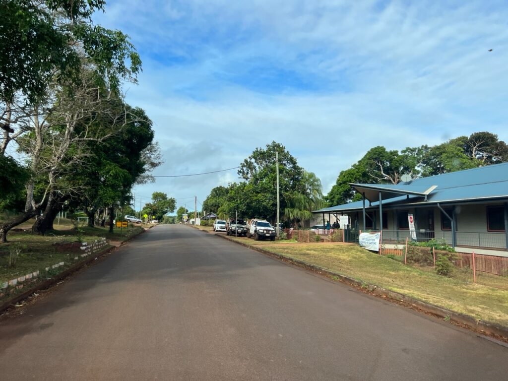
While only a short run into Bamaga, it was probably the toughest section of gravel on the track to that point – perhaps, like horses close to home, it’s where drivers speed up. Consensus among experts is that it’s speed and vehicle size that do most of the road damage – we were constantly shocked at how fast some drove, even on horrendous corrugations ( making them even worse ). Plenty of speed warnings en route and lots of crashed vehicles left where they came to rest – some never learn.
Typical road ( track ) approaching Bamaga.Main Street, Bamaga. The paved streets exist ONLY in the town.
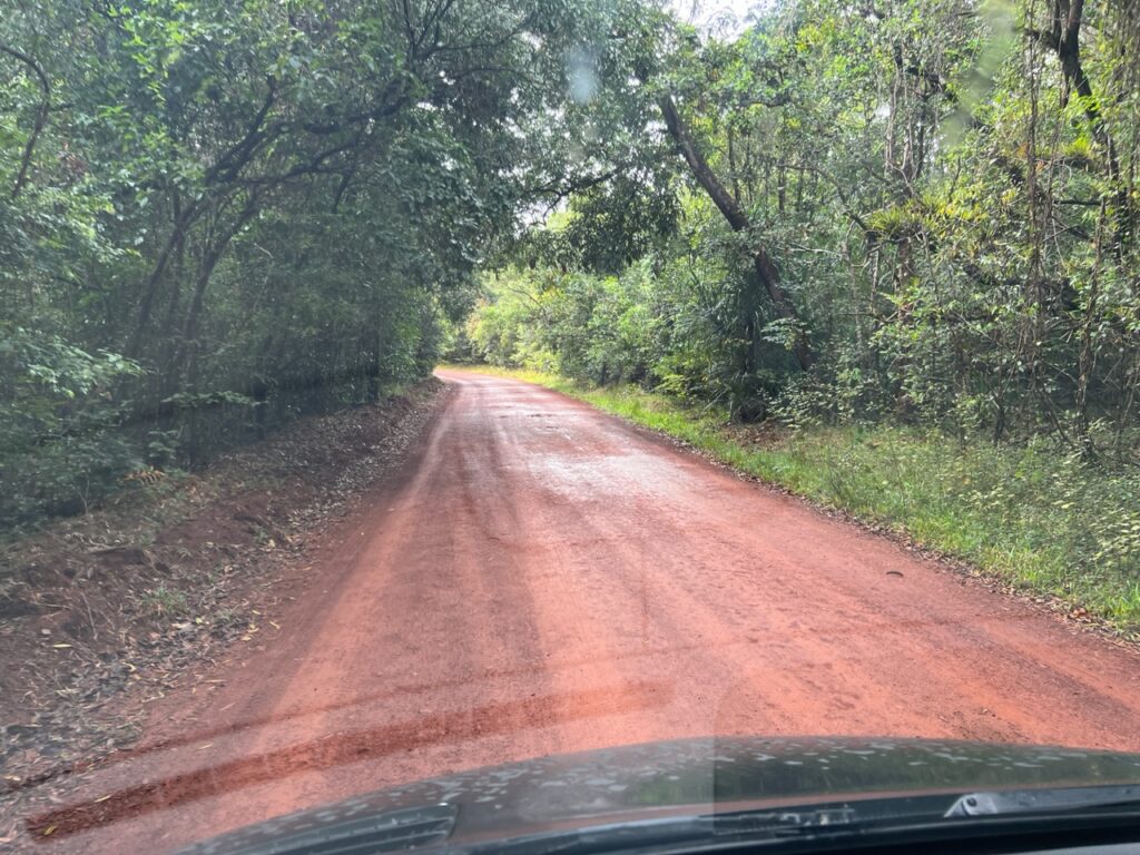
From Bamaga, a rather poorly signposted route leads you out of town for the final 40 or so kms of windy, wet, narrow, corrugated, potholed jungle track to the Cape – no caravans ( trailers ) allowed. At 7 metres ( 23 feet ) long, we were the biggest vehicle on the track and it was, at times, very tight navigating the sharp corners as well as dodging the low overhanging tropical growth. Just one nasty creek crossing presented itself but fortunately it was not as deep as it looked.
The track narrows considerably for the final 40kms to the top.Just what we needed on a rough track – rain !….and a few nasty potholes.….as well as some rather big trees to avoid.This was the deepest crossing – just 10 kms from the top. Not sure how the rock was going to help us !We took the detour to the right as the water appeared shallower on that side. While the water was shallower the bumps were much deeper, giving us a very nasty jolt.
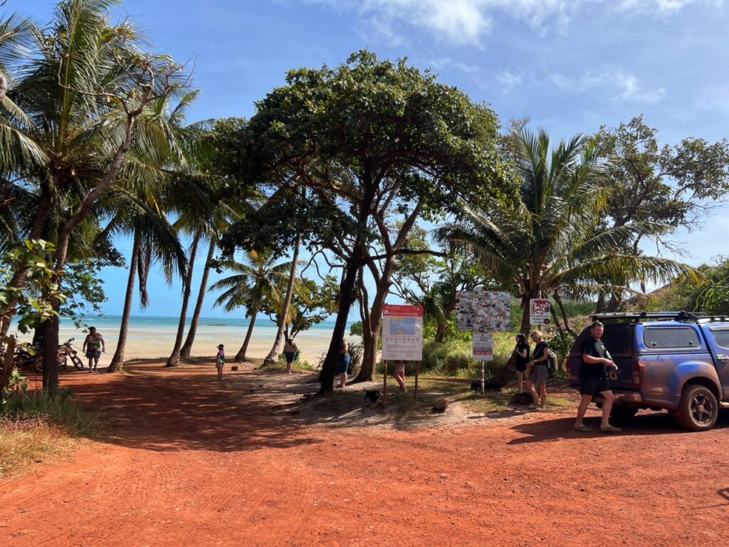
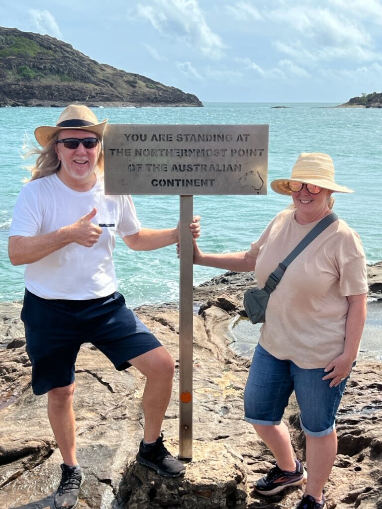
Arriving at the Cape car park ( which was totally full! ) palm fringed Torres Strait opens up in front of you, a very welcome sight after an hour winding though thick tropical jungle to get there. The mood was vibrant, everyone seemed very happy to be here and the sun had just broken though where it had been raining much of the last hour. Just a short walk across the beach ( no swimming – crocs everywhere up here ) and on to climb a rocky headland to Pajinka, the very northernmost tip of continental Australia………we’d made it !
The car park, Cape York.Arriving at the car park- the end of the road and just a few minutes walk to the “northern-most point” sign.The view from the top..!The moment everyone waits for- a picture at THE sign marking the furthest northern point in Australia.
From historic Daly Waters we’d switch directions again – this time to the Carpentaria Highway and on east towards the Queensland border, but not before stopping in for a night ( as most travellers do ) at one of the most famous outback pubs in Australia ( which also operates the town’s only campground ): The Daly Waters Pub.
The one and only – Daly Waters pub !As the story goes, years back a tour bus pulled in and announced that any lady who took off her bra would get a free drink. They have hundreds of bras now at this pub !There was a car rally at Daly Waters, including this old MGB. It actually completed the Gibb River Road !The locals at Daly Waters poke fun at all the 4 wheel drive “city cowboys” with fancy LandRovers and Landcruisers, fully decked out. Hence, “All the gear, but no idea !”“Jeff, I want a washing machine like this !” Saw this on a Sprinter we crossed paths with in Daly Waters.
Steeped in history ( and overlaid with a dash of local legend ) this pub’s story is inextricably linked with the original overland telegraph line and then with the earliest exploits in Australia’s aviation history. Prior to long haul direct flights, passengers on multi-stop flights to Asia and the UK would actually touch down in the town and be catered to by the pub. The original old QANTAS hangar still survives with some interesting displays telling the fabled history of the airline and its links with Daly Waters. Fascinating to simply wander around and soak it all up.
Original QANTAS hangar from the days when the airstrip was a stopover on the Sydney – London route.Old pictures showing the storied history of aviation at Daly Waters.Ditto.
The route east is pretty remote and the drives were long – you know it’s tedious when conversations get reduced to speculating on how many cars we might pass today. It was often very few on this particular road as it’s the secondary route across the area beneath the Gulf of Carpentaria. Most folks go further south and then turn east at Tennant Creek, but ( for reasons that now escape me ) I wanted to stop in at the small town of Borroloola. It’s a lonely drive up there, little traffic on the road and the town itself offered little if you were not a fisherman ( we aren’t ) other than an interesting museum chronicling the town’s colourful history and some of the eccentric characters that once called it home.
Supposedly the original tree trunk where outback explorer Ludwig Leichardt carved the famous “L”.Narrow outback “highway” en route to Barkly Homestead.Sunset, wild camping, Barkly Tablelands.Queensland- back on the eastern side of the country !
Dropping down from Borroloola to the Barkly Highway brought us back onto a more trafficked route. The Queensland border is crossed at tiny Camooweal and then suddenly one is in Mount Isa, a major mining centre. It’s major draw is a mine tour but it was booked out for the next two days. Mt. Isa is not a particularly attractive place and we had no intentions of waiting two days for a tour that would take us deep underground – years back a visit to the insides of a pyramid in Cairo revealed that we were both somewhat claustrophobic, an experience we were not anxious to repeat. We quickly moved on to Cloncurry and nearby Mary Kathleen.
The road in to Mary Kathleen’s old uranium mine was rough !The stunning blue lake formed at the bottom of the now closed Mary Kathleen uranium mine.Mary Kathleen mine.Gulf scene near Normanton – a long haul directly north of Cloncurry.Classic “Purple Pub”, Normanton.
Karumba, a quaint little spot very popular with campers and right on the Gulf of Carpentaria was somewhere we were anxious to visit, and looked forward to the much talked about happy hour at the Sunset Tavern right on the water. A long drive up via Cloncurry and Normanton but well worthwhile and, fortunately, en route east to Cairns from Mt. Isa. We enjoyed the shared experiences with fellow travellers that tend to congregate in “end of the road” places like Karumba and found the local Barramundi Discovery Centre to be well worth visiting. While it wasn’t the reason we came it’s the lure of a big “barra” catch that brings many folks to this historic frontier town. Locally known as “Barradise” 😊.
Sunset Tavern on Karumba Point – great place for Happy Hour sunsets. Every visitor in town would soon arrive there.Karumba, sunsetKarumba sunset- dancing brolgas sculpture.
Still a long way to Cairns ( we took the southern route via Georgetown and Mt Garnet ) – more on that in the next edition!
Enjoyed the amazing gemstone and precious metals collection at the Ted Elliott Mineral Collection, Georgetown.Millstream Falls.Approaching Cairns – starting to look very tropical.
Completion of the Gibb River Road moved us ever further north east in WA – almost to the Northern Territory border in fact. Leaving WA this far up brings you pretty close to what locals simply refer to as “The Top End” and it included several places we were keen to visit. But first, a final look at WA.
Starting in Broome, the roads recently travelled from part of a cross-country route in northern Australia known as the “Savannah Way”. We’ve followed most of it so far and plan to do as much of it as we can all the way to Cairns.
Prior to heading east towards Kununurra we made a slight detour west to Wyndham – not a major draw for most but it did offer a little history ( another of Australia’s northern outposts that was bombed in WW2 ), and an exceptional viewpoint ( The Fiver Rivers ) for taking in the expansive surrounding area.
Five rivers lookout, Wyndham.
Kununurra is home to the Ord River a river that was dammed ( The Ord River Scheme ) in what was, at the time, an extraordinary engineering feat in bringing much irrigable crop land to what was formerly barren desert. It’s a prosperous place, vibrant, a semi tropical oasis and nearby Lake Argyle, created in the scheme, is now an attraction in itself.
You know you’ve completed something of a milestone when the tourist office ( in Kununurra ) tries to sell you this.The van was filthy after the Gibb. The owners of the campground in Kununurra allowed us to wash it on the grass – using a fire hose !Tea break. Lake Argyle.
The road east had us crossing into the Northern Territory barely an hour outside Kununurra but from there it was a long run into Katherine, straddling the Stuart Highway and famous for its eponymous gorge. A return visit for us but a long time ago – over 40 years for us both! The gorge was nice but, this time around anyway, a little underwhelming- hard not to benchmark it against those we’d seen so recently in Karijini, and on the Gibb. In fairness we opted not to re-do the boat tour we’d done before and it’s a sight that’s definitely more impressive from the water.
Western Australian really “wowed” us – we were very sorry to leave 😞.On the way to Katherine.Katherine Gorge.
Years back the big “buzz” in the travel marketing space was Kakadu ( National Park ), not far north of Katherine. We’d succumbed to the hype and visited but found it also a little less spectacular than the NT tourist folks would have you believe. In fairness we’d travelled there during the wet season (and it was pouring rain most of the day), so hardly did it justice but it seems the feeling was fairly widespread among other travellers – the place is now jokingly referred to as “Kaka-don’t”. Not far from Kakadu is another park, easier to access and whose stunning charms can ( thankfully) be enjoyed without boat tours or helicopters – Litchfield National Park. Several travellers had suggested it was a “do not miss” and better than Kakadu – we’d 100% agree and thoroughly enjoyed the place. Highlight of the park was definitely Wangi Falls – a scene right out of Jurassic Park. Beautiful to just soak it up even though you can no longer swim in the pool at the base ( a saltwater crocodile captured here recently forced its closure ).
Termite mound, Litchfield NP.Florence Falls, Litchfield NP.
Florence FallsRecently a saltwater crocodile was caught here. The pool at the bottom of the falls is now closed to swimmers.
Tolmer FallsWangi Falls, Litchfield National Park.
Wangi Falls
Darwin is only an hour or so north and we’d planned a few days there – a van service, a search for elusive imperial measure plumbing parts, and some general sightseeing filled our time. Both of us marvelled at how this once frontier town had morphed into a thriving, diverse, modern metropolis right on Asia’s doorstep. We really enjoyed the vibe, and got all our tasks done – it is however, incredibly humid. This is the “dry” season – definitely not a place to come in the “wet”.
Time to take our van in for its regular service. Darwin was the first Mercedes dealer in almost 5,000kms ! Sprinters are not nearly as common in Australia as in North America or Europe.Heaven is – finding a great cafe that makes a splendid cappuccino ( for Lois ) and chocolate milkshake ( for me ). And, a classic metal milkshake mug no less !!!!! Nice to be in a city again.Shopping Mall, downtown Darwin.Parts of Darwin have an almost South East Asian look. The territorial government building.Little known fact – more Japanese bombs fell on Darwin than did on Pearl Harbour, a fact suppressed by the government of the day in order not to panic the Australian public.Darwin skyline today – far different from our first visits in ‘82/‘83.A VERY Aussie licence plate !
Darwin would be the furthest north in Australia we’d venture until Queensland. For the first time in a long time we’d now be heading south, back past Katherine, through the hot springs of Mataranka and on to the historic and legendary town of Daly Waters where the Carpentaria Highway would take us on east into Queensland.
Mataranka hot springs.
Mataranka Hot SpringsOne of the more unique places we have camped – the “Gorrie” airstrip, a disused WW2 runway is a favourite with campers. Flat ( as you can imagine !) and with amazing history. Went to sleep imagining Spitfires and Hurricanes once thundering down this runway.
Very unfortunately it appears that, last week, all subscribers to our blog who use @gmail.com email addresses had their weekly blog link diverted to their junk/spam folders. Probably half our subscribers use gmail so it affected many of you. So if it’s ever not there just open your junk folder and you’ll see it, or simply go to our website www.OneEndlessRoad.com and look under Recent Posts ( it’ll be there ). I have been advised that it could be the good folks at Google tweaking their Spam filters ( which usually means it will catch some stuff it should not ). However, I’ve also been advised that it could have been caused by content in the blog – unlikely, since there was nothing unusual in that edition – pretty much like all the others !
On the assumption it may have been caused by blog content, I am sending out this “one off” blog post with no commentary, and no pictures, to see if it gets through as per normal. I’ve also included a link to last week’s missed post “Onwards to Broome “ as well as this week’s post ( “The Gibb River Road” ) in case the same thing happens again: see below
To ensure that you will always get it, it might be a good idea to add OneEndlessRoad to your Contacts and include our 1endlessroad@gmail.com address in the email section so that the Google system recognizes this as a legitimate email address.
I’d love to hear from any gmail.com subscribers just to know that you got it…..just put a comment in if you don’t mind. If there is a Google/gmail guru out there in our subscriber base who can advise me on how to prevent this in future, I’d love to hear from you !
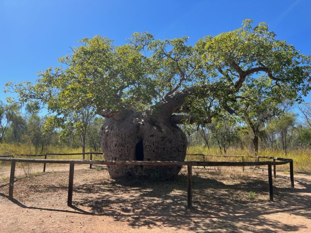
Prior to leaving Derby , we took in some of the local sights – it’s small, there’s not much there and it seemed extremely quiet on the Saturday when we arrived. There’s an interesting jetty where one can observe the scope of Derby’s famously varied tides, a unique boab tree once used as a prison ( yes, really ) and a few other lesser attractions – key needs for us as we considered our options on to Kununurra were food and fuel – we’d need lots of both as there were long driving stretches ahead.
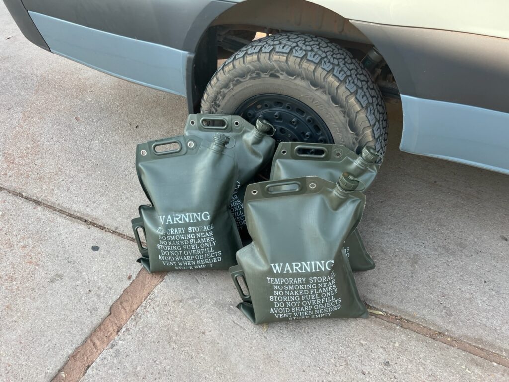
Loading up with extra fuel – each bag holds 20 litres.Boab “prison” tree, Derby.
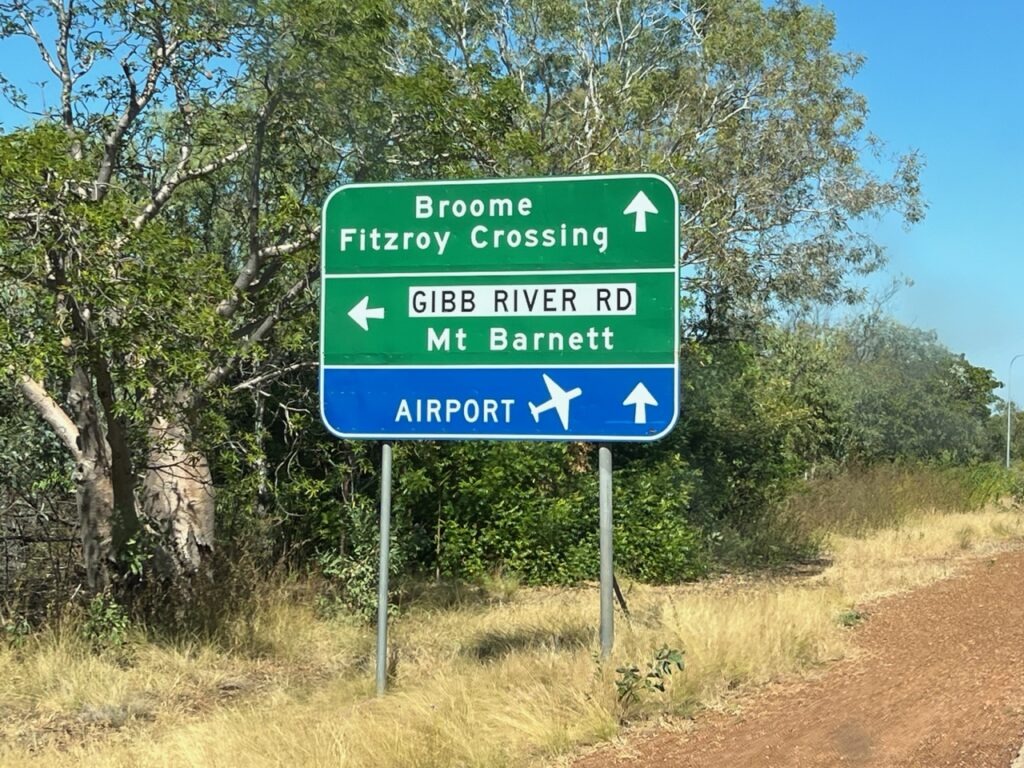
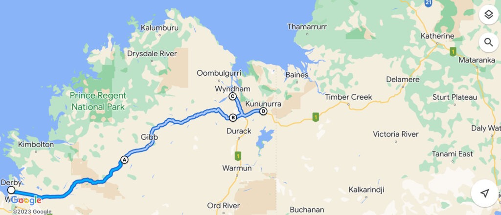
Barely 5kms outside Derby the road forks. Straight ahead and Highway 1 takes you on to Kununurra; to the left, lies the legendary Gibb River Road ( just west of Kununurra the two roads converge again ). The “Gibb”, actually shorter and definitely more scenic, but strewn with teeth chattering corrugations from start to finish. Highway 1 slightly longer, but blacktop all the way, albeit a far less interesting road. Crunch time upon us, a decision we’d been mulling over since we arrived in WA had to be made. Unlikely to ever come back this way, the van ready to go, and us wanting to do at least one other outback track that might better challenge the van’s capabilities, the decision was made – we’d tackle the Gibb River Road !
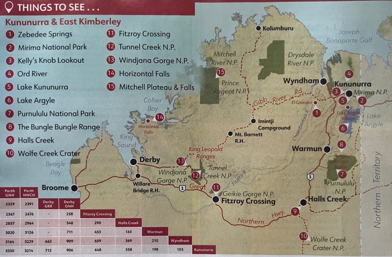
Decision time – The Gibb, or…..?The Route……
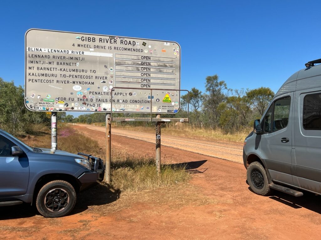
At over 650 kms in length, the Gibb is a multi-day affair. Some do it in 2 days ( possible ), some take a week. Certainly if one checks out all its extensions and diversions those “days” quickly turn in to “weeks”. We spent 5 days on the Gibb, following the main track and making diversions as required to visit the most popular gorges en route ( there are many ) but left the longest diversion out ( as many do ). The Gibb tempts you with an initiation of blacktop but that soon gives way to hundreds of kms of unsealed surface ( interspersed very periodically with very short sealed sections). Consistent blacktop would not be seen again until we crossed the Pentecost River just a short distance from the end of the road.
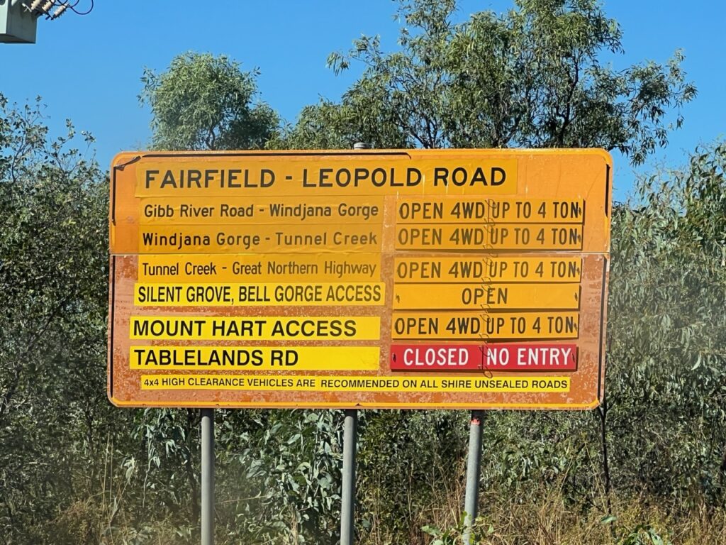
Checking that all sections were open.Restrictions in some sections.More detail on the route. We opted not to take the “road” to Kalumburu. A German we met described it as hellish.
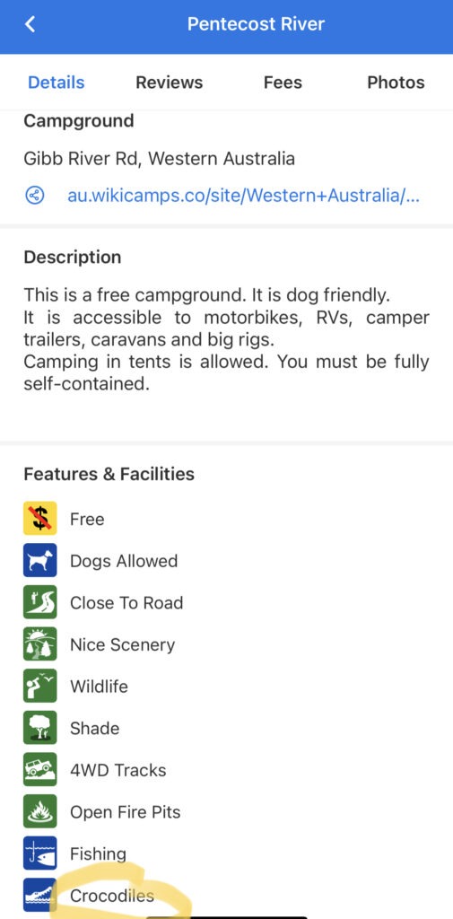
The Gibb for us fortunately went pretty smoothly- we’d heard of ( and seen with our own eyes) several vehicles carried off the track on a flatbed truck. We would go on to see several with nasty flat tires, cracked screens and 3 camperized vehicles get stuck crossing the crocodile infested Pentecost river ( all needed to be winched out ). None of the above for us – apart from a couple of decorative rubber caps for our hitch and side steps being lost reaching Adcock Gorge, we survived the Gibb unscathed. A relief to make it through, and very glad we took on the challenge, we’re also glad it’s now in the rear view mirror. A difficult road it’s not- there is no inherent danger, no steep cliffs, no huge potholes or the like – but it will shake you hard – very hard – all the way, just more or less very uncomfortable. And, hence, very tiring.
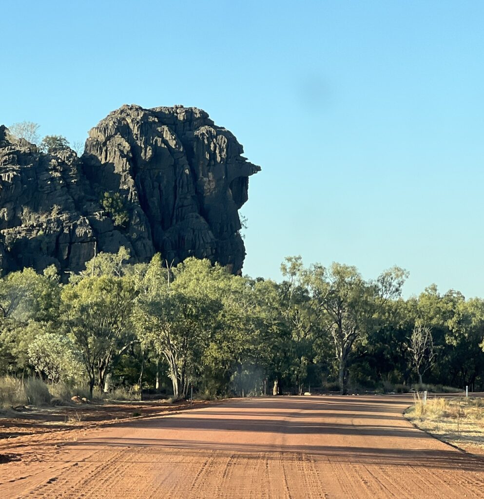
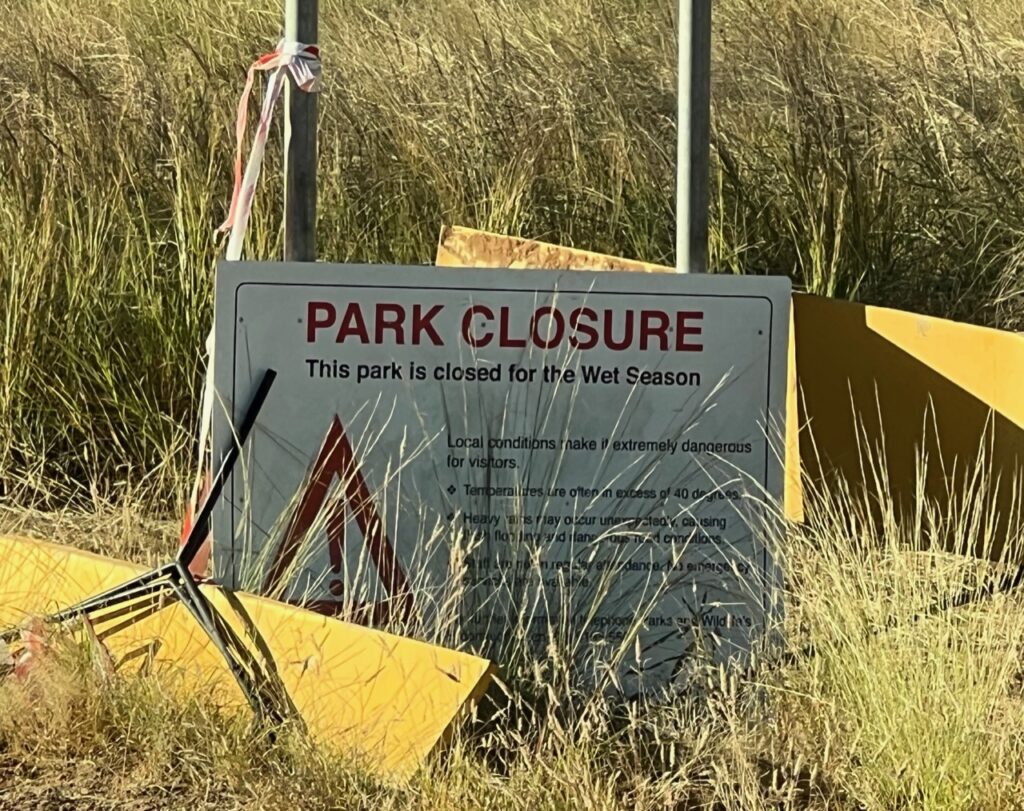
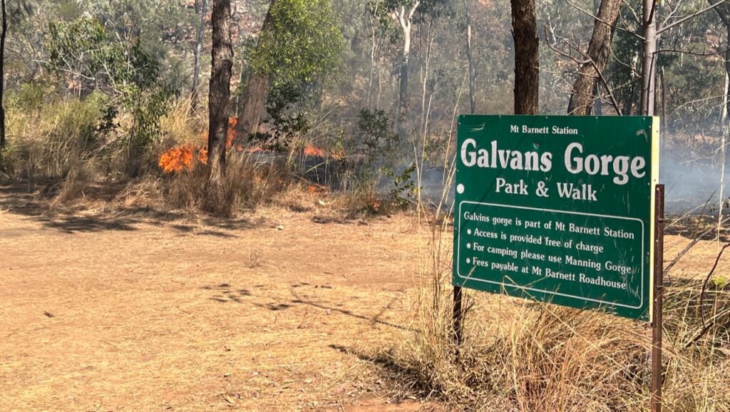
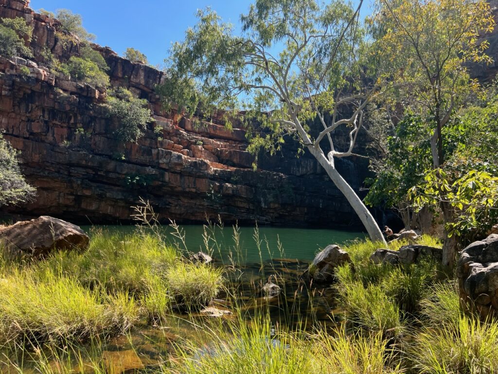
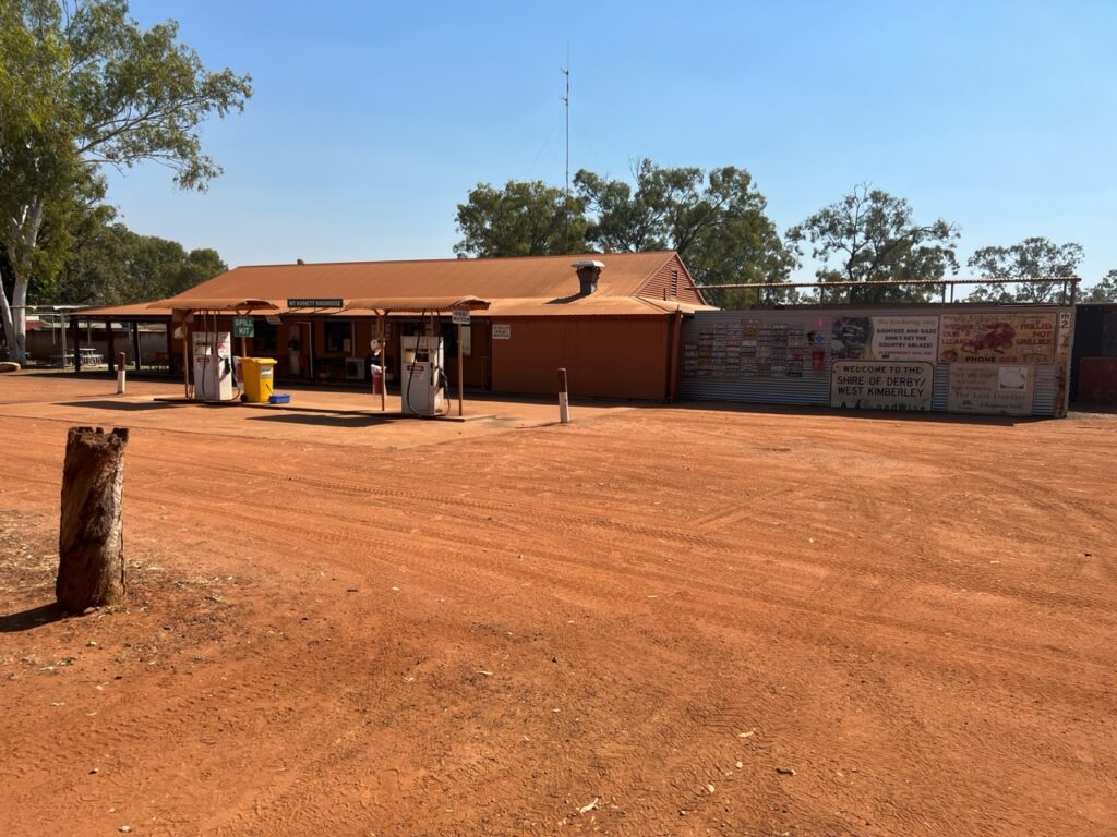
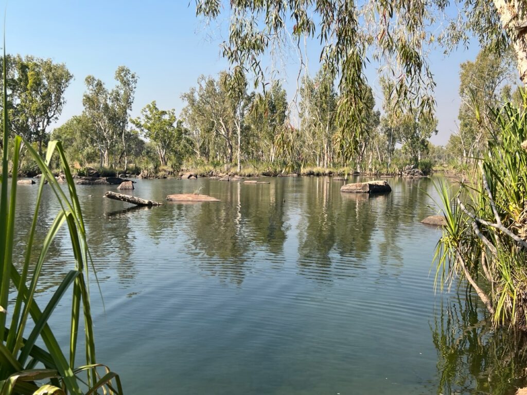
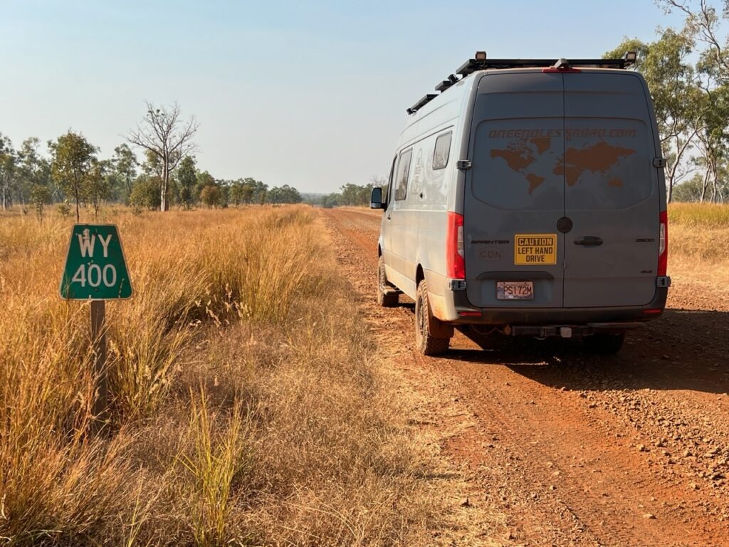
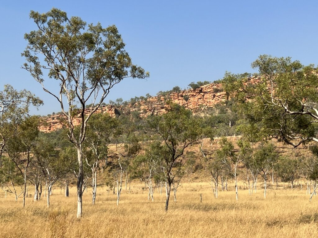
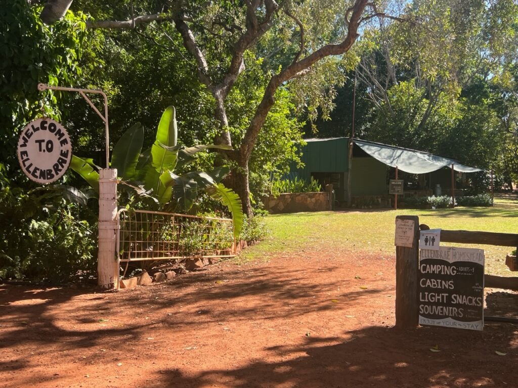
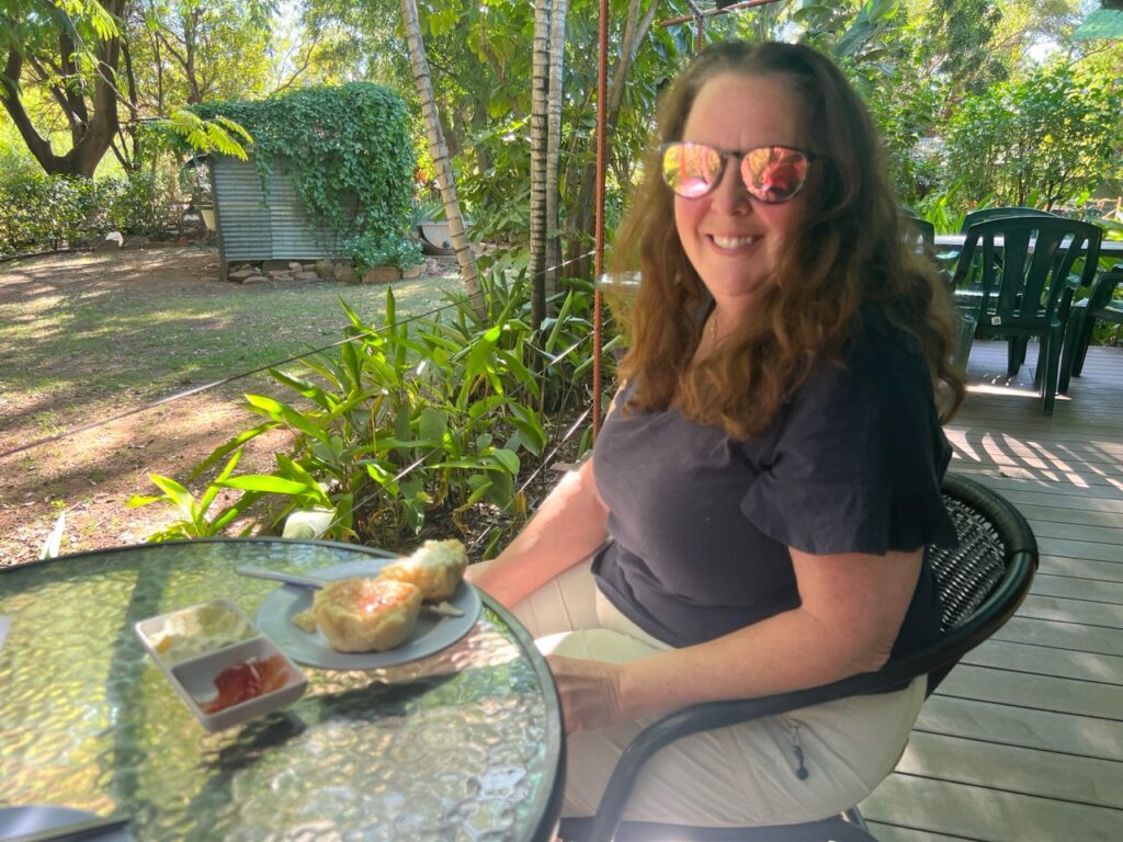
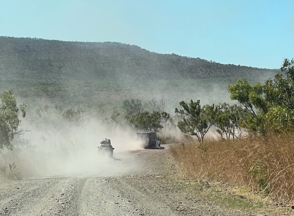
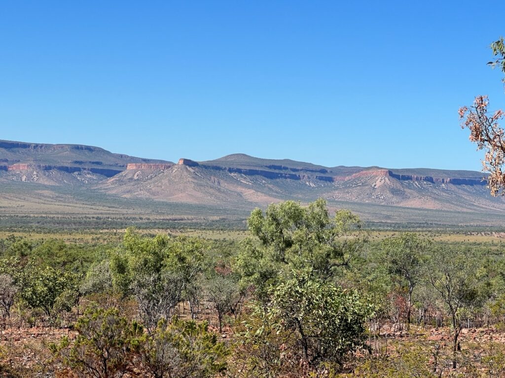
Typical scenery early on.There are numerous reminders like this in the north – the danger is real and fatalities do occur.The beginning of the unsealed section. There would be lots more of this !First attraction on the Gibb: Queen Victoria Rock – a stunning resemblance !Drove all the way to Windjana Gorge only to find it was closed. Road to it was open, the gorge itself was closed – ughh !Likewise for Galvans gorge, one of the better ones; it was closed due to controlled burn off when we arrived 🙁Adcock Gorge access. Rough !Adcock Gorge – the road in was a heavy duty 4×4 track. Most difficult part of the Gibb that we drove.Adcock gorge.Mount Barnett Roadhouse – civilization in the middle of the Gibb!Manning River, one of the few places it was safe to swim ( no crocs ! ).“WY” is Wyndham – still a loooong way to go !Typical scenery in the middle of the Gibb.Ellenbrae station accessEllebrae – an oasis on the Gibb.Everyone stops at the Ellebrae station for their famous hot scones – worth two creek crossings and a rough drive in !At times it was busy…….! And almost always dusty, but…….…..periodically there were short sections of blacktop. A welcome relief!One of many creek crossings on the Gibb.Typical clattering when on the rough stuff – corrugations and rocks.Typical road….Northern end of the Gibb, near the Pentecost River.Scenery near the Pentecost River.
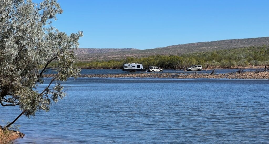
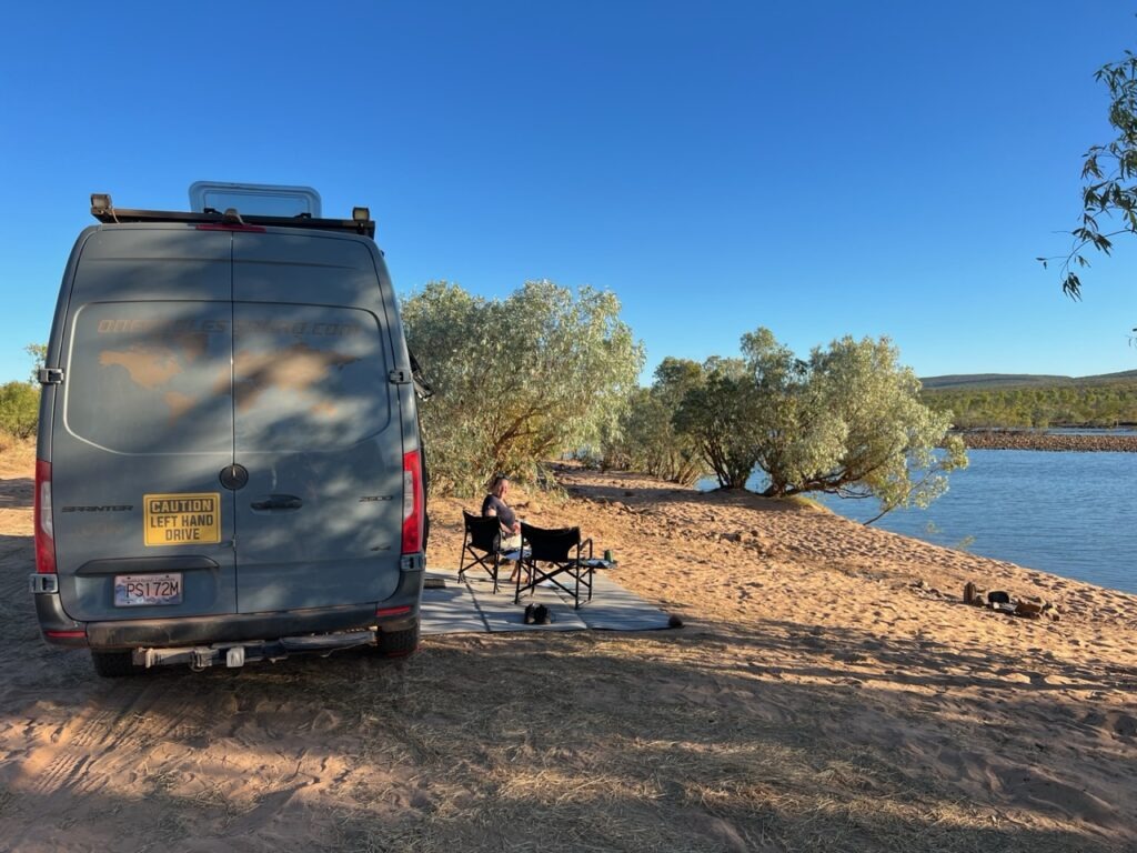
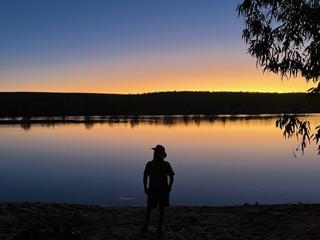
Pentecost River, as we arrived. No one there.The guy behind us drove around us while we sat, pondering whether to “walk” it before driving through. He got half way, then bogged a rear wheel. He was stuck in the middle of the Pentecost( ultimately needed two other trucks to winch him free).Discretion being the better part of valour, I decided to walk the crossing before driving it to see where the deep points may be. We simply kept to the left, driving right past the guy who was stuck.Crossing the Pentecost.…and the final step.Safely across ! The guy we allowed to go ahead of us still stuck in the middle. Two more would get stuck later the same day.SUV and caravan, stuck on the Pentecost River crossing.Camping on the Pentecost River.Stayed well away from the edge !Sunset on the Pentecost. Gibb River Road almost complete.Rainforest trail to Zebedee hot springs.Zebedee hot springs, El Questro.Zebedee hot springs, El Questro.Emma Gorge – nicest one we visited.
Emma Gorge – highlight of the Gibb ! Refreshing swim was wonderful.
I was asked how the Gibb compared to the Oodnadatta Track ( they are about the same length ). In terms of surface quality, the Oodnadatta “Track” was much closer to deserving the title of “road” whereas the Gibb River “Road” could more aptly have been called a “track”. There was some lengthy respite from severe corrugations on the Oodnadatta – none such on the Gibb. Traffic ( or lack thereof ) probably explains the difference – we regularly passed cars and trucks on the Gibb ( sometimes being behind a line of them even ) whereas we could count on our hands the number of vehicles we saw on the Oodnadatta. We only camped alone once on the Gibb (lots of people around), while we never camped with anyone else on the Oodnadatta. Among the many thousands ( tens of thousands ? ) of campers on the road in Australia ( and there are many ! ) the Gibb River Road seems to be on the bucket list of most – certainly anyone with a 4X4 vehicle (which is required).
It was an unforgettable drive- we met some great people en route and the many gorges ( for which it’s famed ) dotted along the route provided a welcome distraction from the heat and dust. Oh, yes, dust – lots of red dust !!!! Sadly several of the gorges were closed ( one to flood damage, another to fire, and a third required a vehicle capable of fording a 1 metre deep creek- sadly beyond the capability of our snorkel-less van ). Bells Gorge we chose to skip due to the uncertain creek depth. That all said, Adcock, Manning and Emma Gorges were open for us – Emma being the definite highlight of the trip. Truly an impressive sight.
Setting out on an adventure like the Gibb – and it was an adventure – you set certain milestones and one of the biggest was successfully crossing the Pentecost River. It’s only 50 or so kms from the northern/eastern end of the journey but can be problematic if too deep to cross. I’ll confess it was on my mind all the way through ( as it is for most on the Gibb ) since it’s an awful long way back if you can’t get across – a thought we absolutely dreaded ! While we would watch 3 campers get bogged in the middle of the Pentecost River (needing to be winched out ) we ultimately cruised through with ease – never have we been so happy to be on the “north” side of a river in our lives!
The finish line !!
Till next week…..
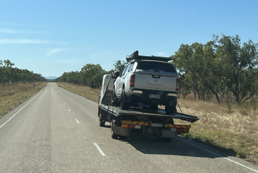
Not all survive the Gibb – a Nissan truck being carried off by flatbed truck.
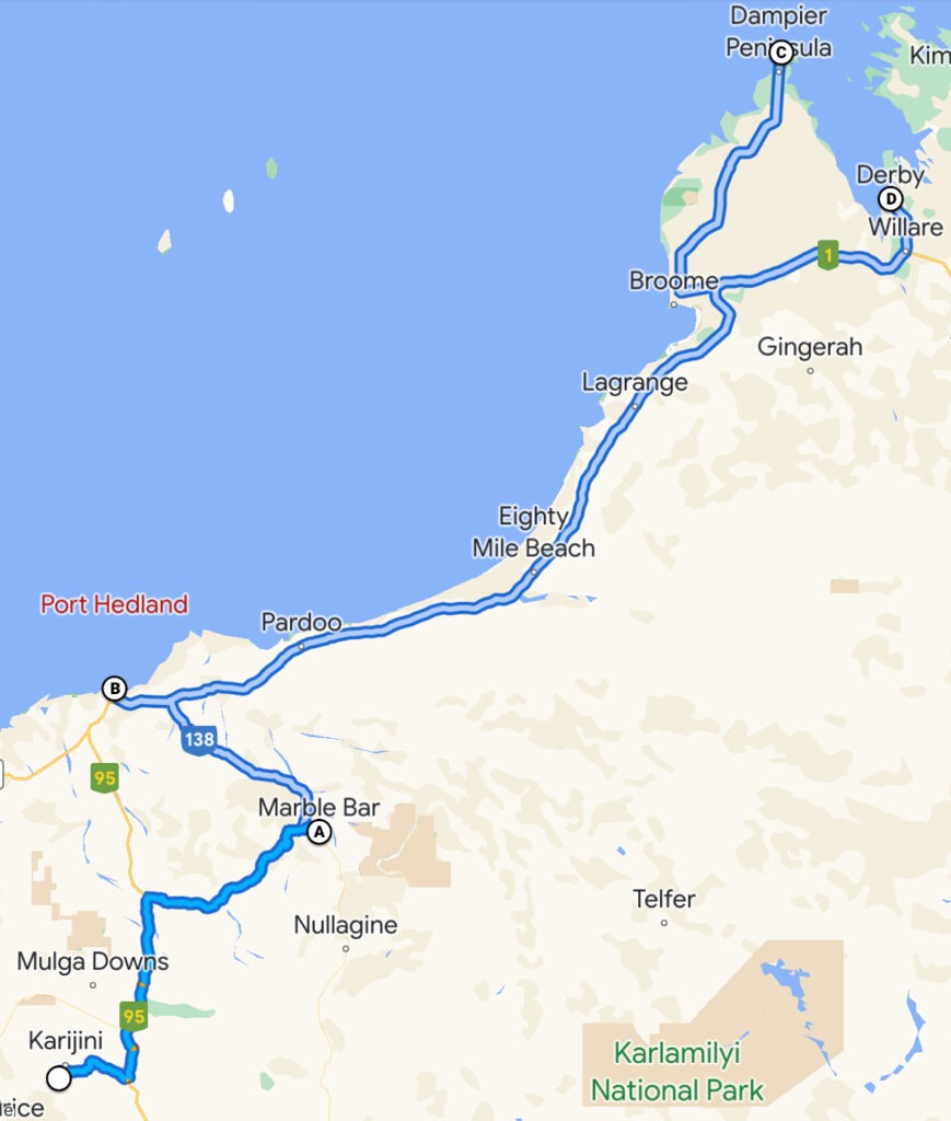
Hard to top Karijini but the week ahead did offer up a couple of great treats: a wonderful rendezvous with my brother and his wife just outside Marble Bar, a stopover in Port Hedland, and a delightful few days in trendy Broome.
Our travels since the last post.
Over the preceding months we’d remained in close touch with my brother, Ian and his wife ( Anne ) in the hope that, just possibly, our paths may cross in northern Western Australia. They habitually travel in these parts at this time and, as luck would have it, they’d reached their destination of Nullagine just a few days before we were to leave nearby Karajini. A rendezvous would indeed be possible and (Australia’s hottest town) Marble Bar ( more or less in between us ) would be the venue.
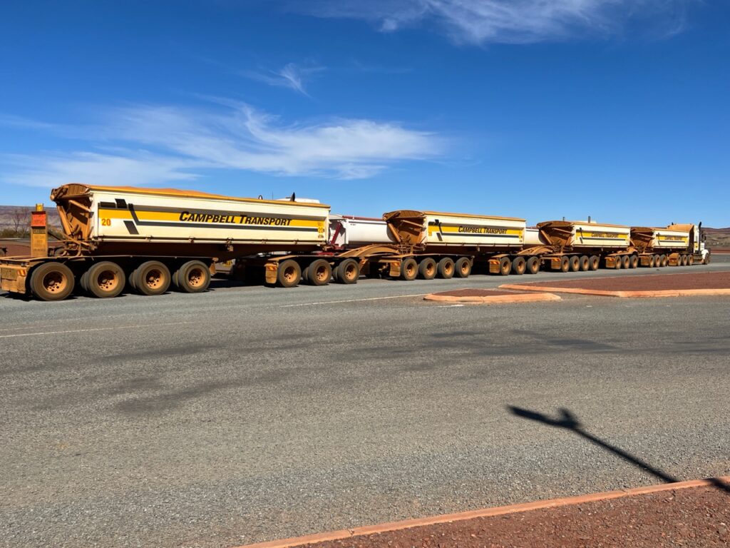
Road train, en route to Marble Bar.We had left Karijini but were not yet done with oversize vehicles.
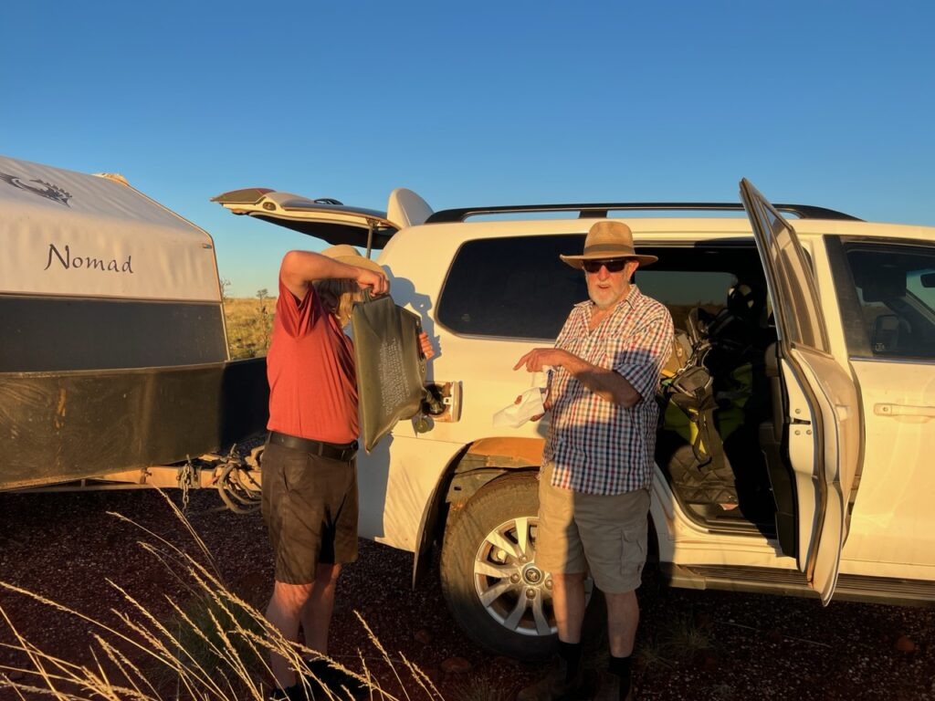
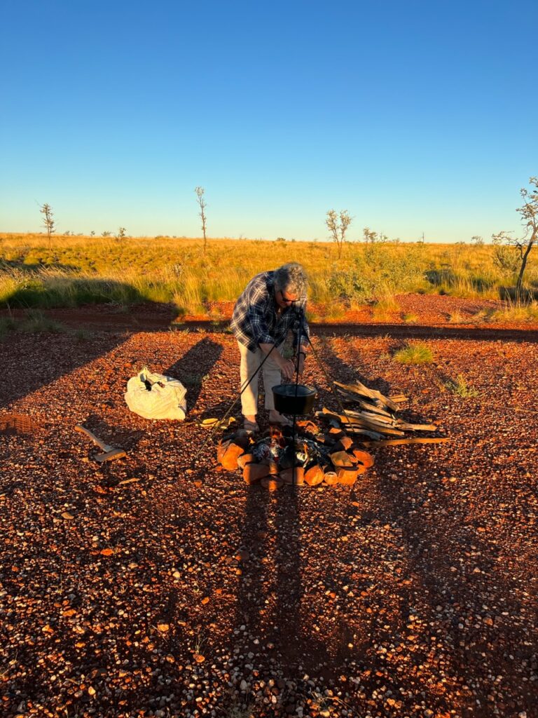
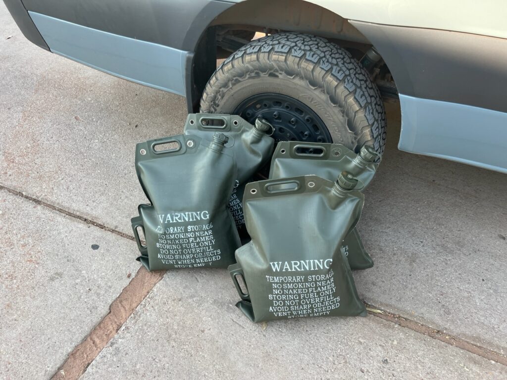
Spent a wonderful couple of days together trip planning, reminiscing and generally just hanging out – Anne, the camp pot was awesome ! Really nice to wind down and just be stationery after a pretty hectic previous week where we’d been constantly on the move. Delighted to be able to bring some diesel fuel to the rescue as well ( Marble Bar had not, technically, run out of diesel but the pump that delivers it was inoperable). Ian was able to reach us by phone just prior to us leaving Karijini to advise they could not get fuel in Marble Bar, so we threw a couple of extra fuel bags in the van. Problem solved ! Only thing worse than a “Pub With No Beer” in the outback is a fuel station with (effectively ), no fuel !
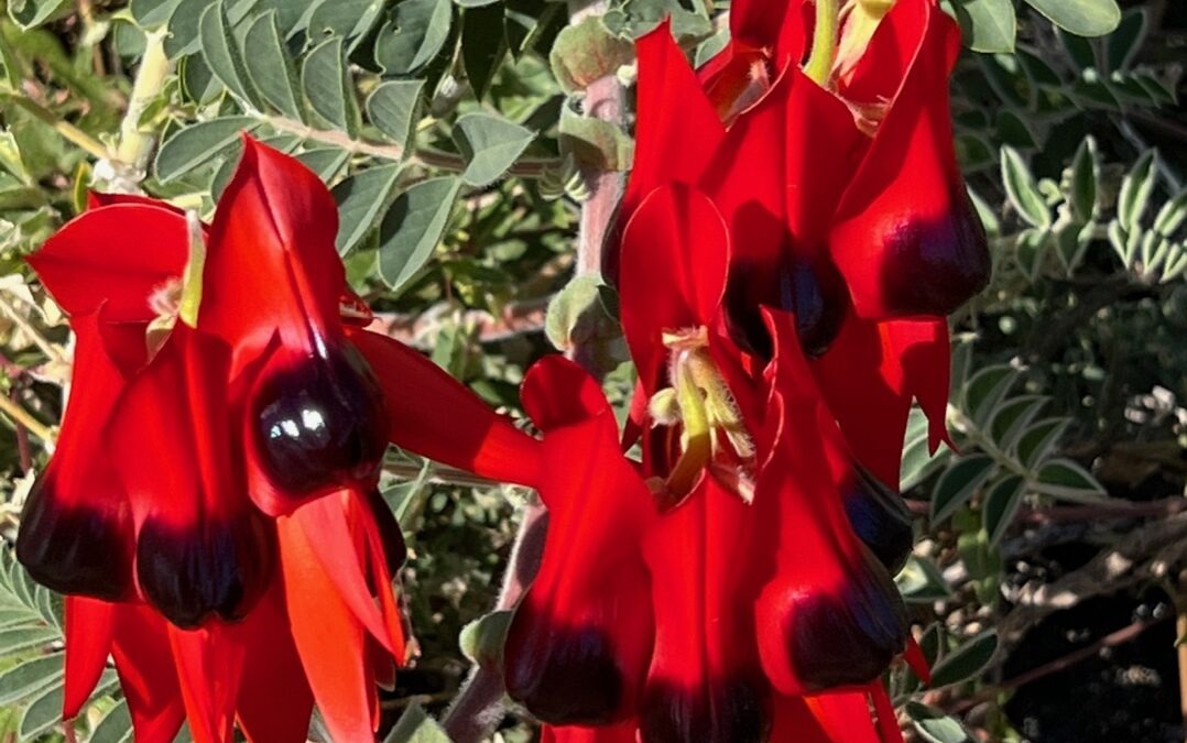
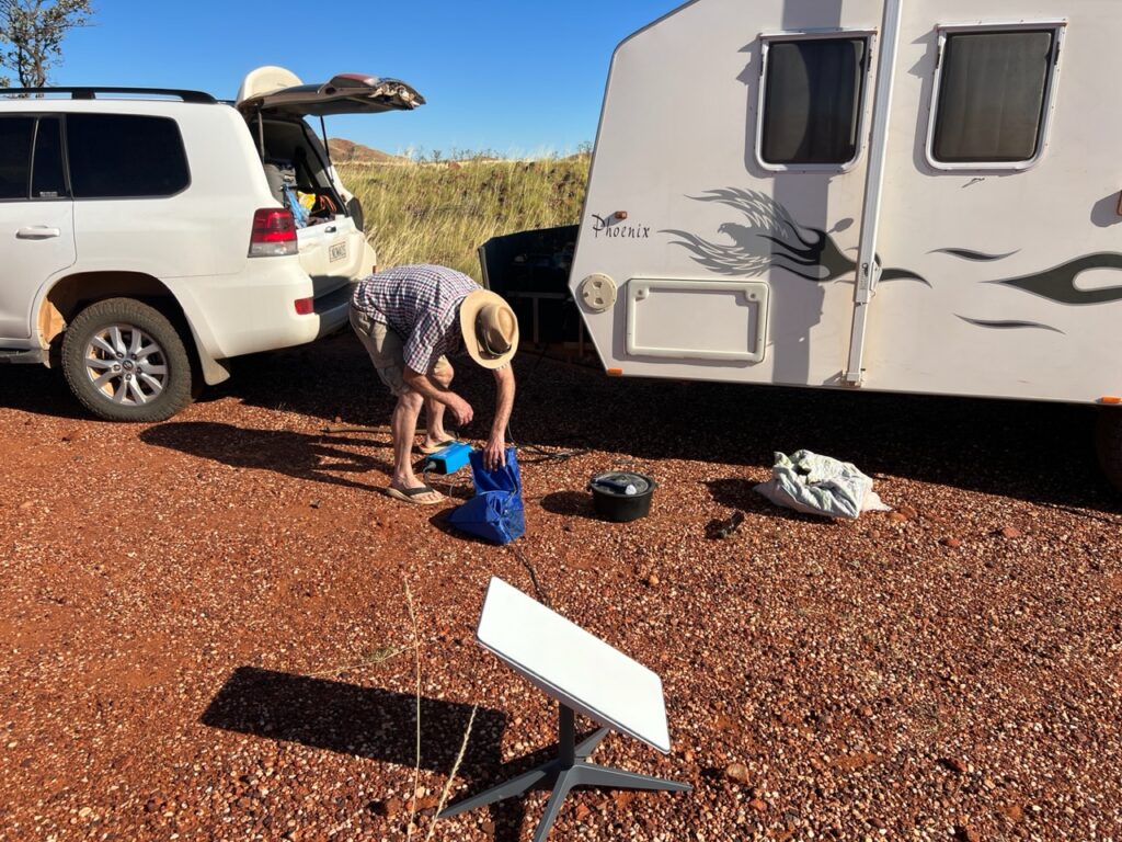
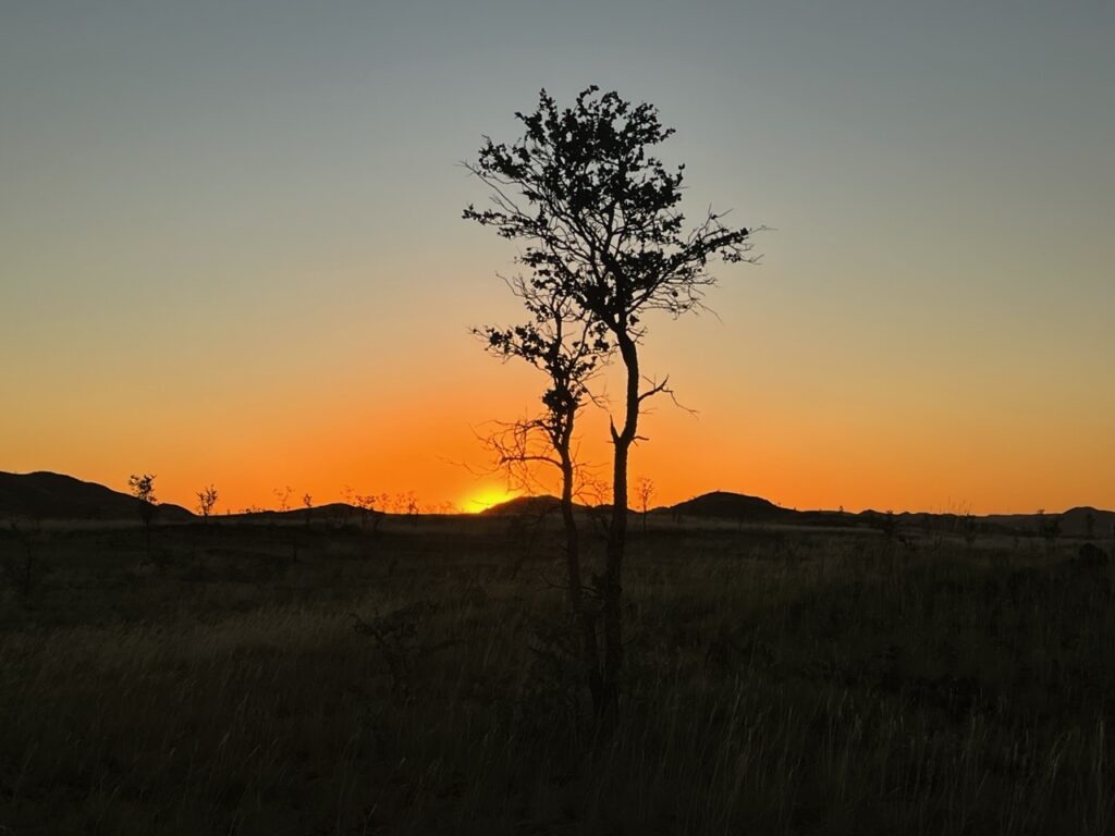
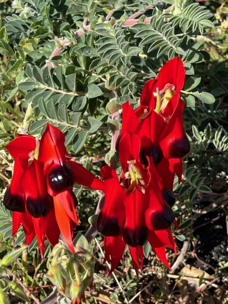
Jeff, filling Ian’s vehicle with diesel. “”I’ll never hear the end of this !” he’s thinking !Anne, preparing a delicious “welcome” camp dinner.Nice to have access to a Starlink system – high speed internet anywhere in the world !Beautiful sunset, camped at Marble Bar.Camping at Marble Bar.Classic old style buildings in tiny Marble Bar, from the days when it was much bigger.Sturt’s Desert Pea – a beautiful wildflower common in the area.
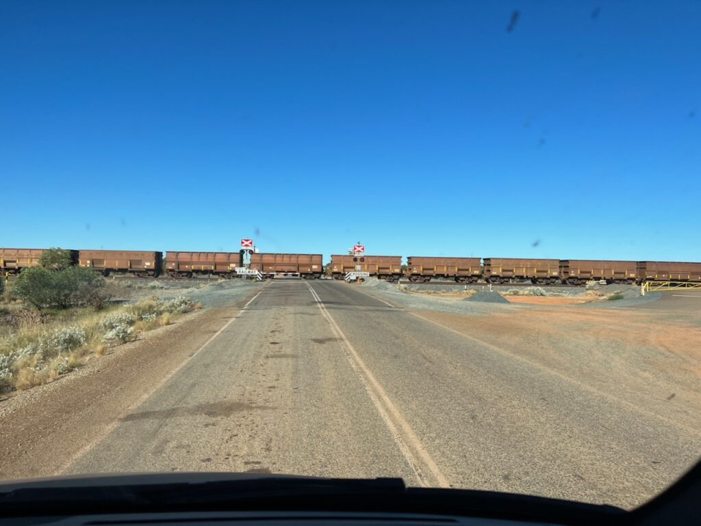
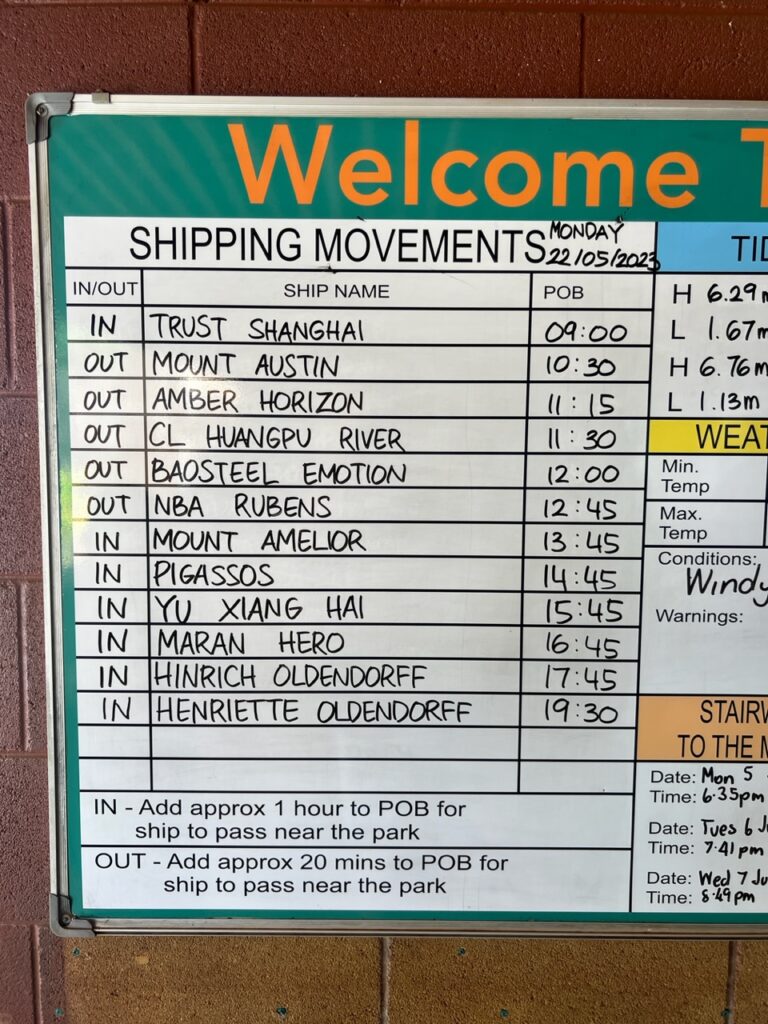
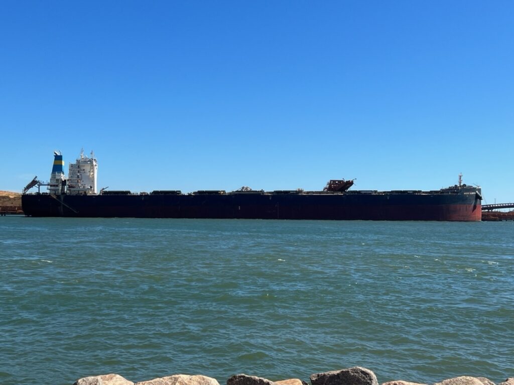
Port Hedland was the only place of note between us and historic Broome, the pearling capital of Australia. Not a town of any intrinsic beauty ( and coated in red dust from all the iron ore that is shipped through it ), it is though, veryinteresting to see the scale of mining in the area. Four privately owned rail lines pretty much constantly drop ore at the port and just as quickly it is loaded into giant bulk carriers for the blast furnaces in Asia. The scale is indeed immense – each train can be over 2kms long and the fully loaded ore carriers glide out of port every 15 mins or so. They proudly boast it’s the largest bulk loading port in the world in fact.
Iron ore train, en route to Port Hedland. These can be 2.5kms long!Train crossing, near Marble Bar.In Port Hedland the comings and goings of massive ore carriers is an attraction – gives an indication of just how much of the stuff comes out of the ground.The carriers are huge !
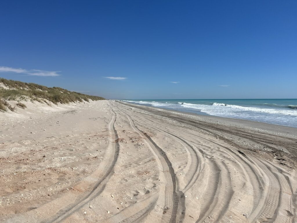
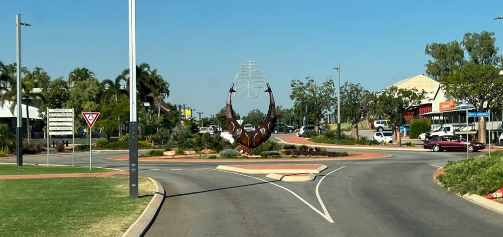
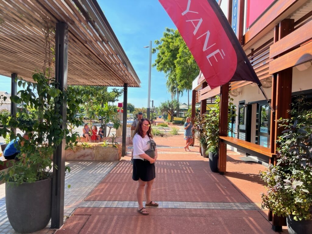
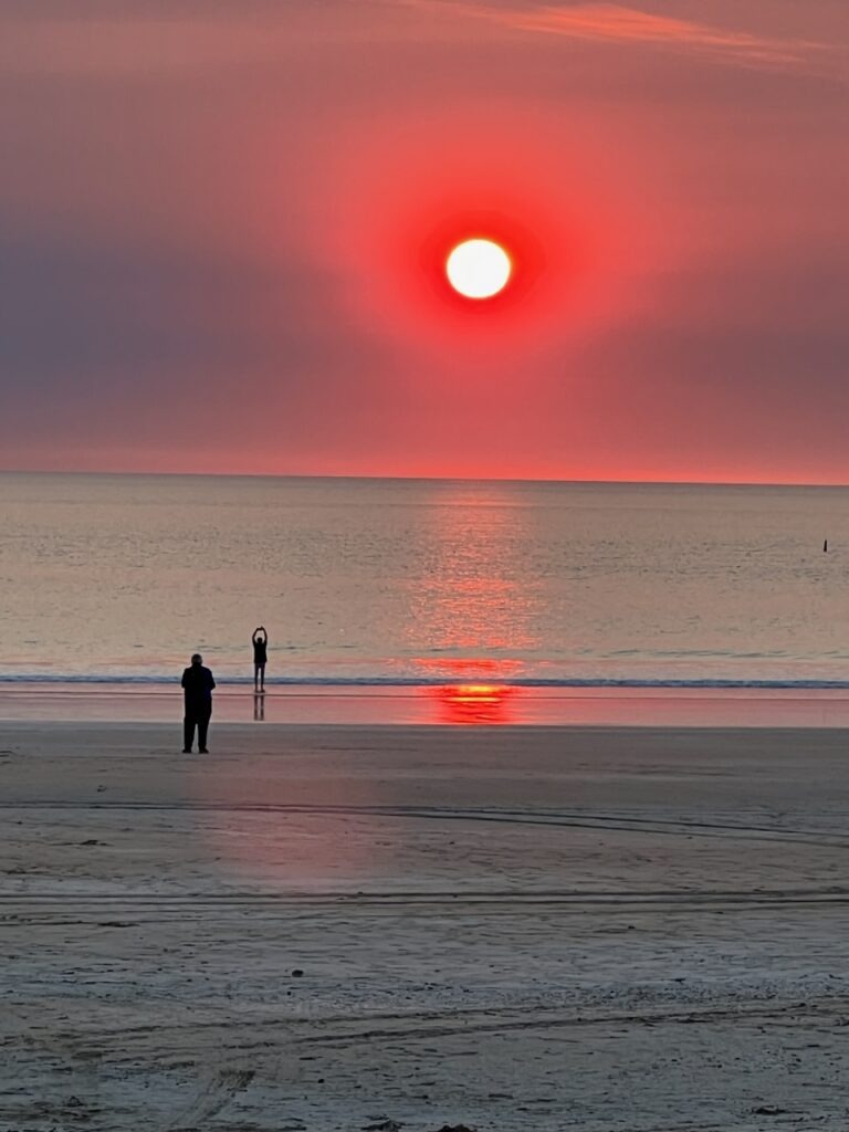
Almost 700kms north east along what had to be THE most boring stretch of The Great Northern Highway that we’ve driven, lies trendy Broome. None of that section of highway follows the coast and to make matters worse we battled a fearsome headwind and the acrid smoke of seasonal burn-offs for much of the day. Historic ( and now trendy ) Broome is the worthy reward for those long, lonely miles and it’s immediately obvious why Aussies ( and now many international visitors ) are flocking there- the climate is perfect, the setting ( on beautiful Cable beach) is stunning and the revitalized downtown is boutiquey with a vibe reminiscent of fashionable Byron Bay on Australia’s east coast. It seemed half the town walked to the beach each day to watch its famous sunsets. Really enjoyed the place.
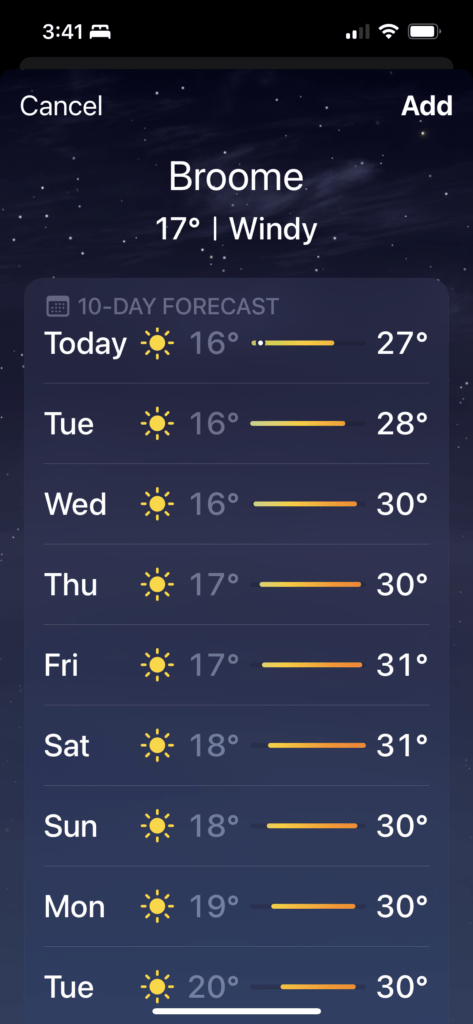
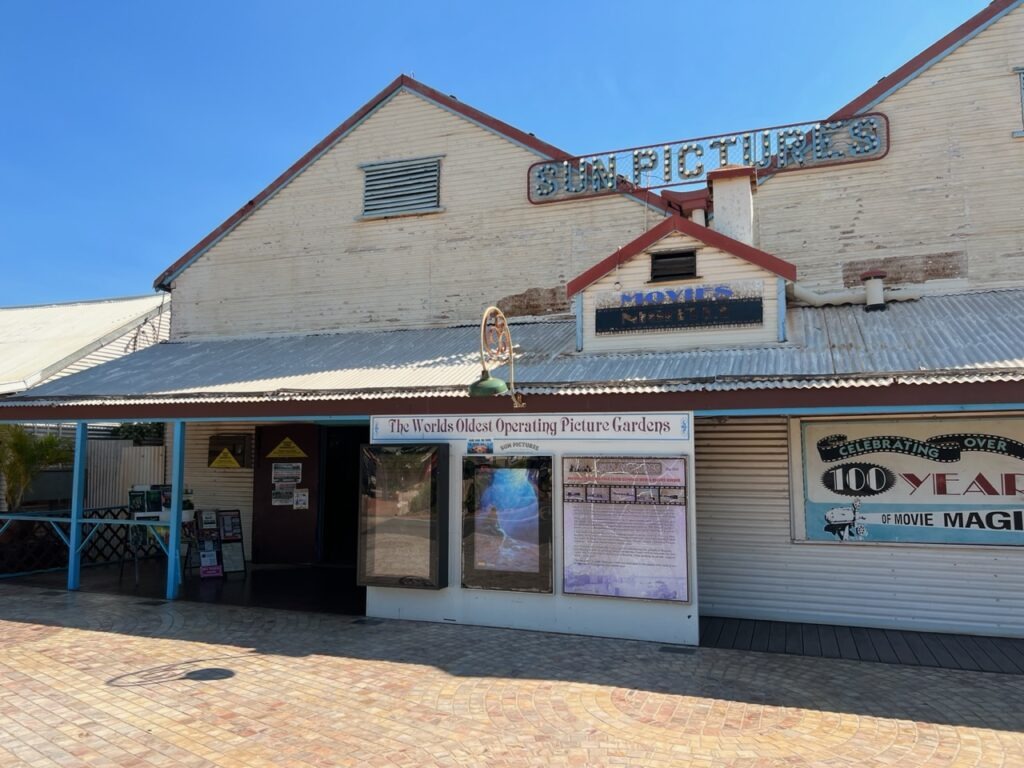
The long, lonely road between Port Hedland and Broome. 80 Mile beach, near Broome.Downtown Broome.No wonder Broome is popular this time of year !This famous old outdoor theatre still operates. Over 100 years old. Broome.Lois shopping, Broome.Cable beach, sunset. Broome.Broome, sunset on Cable beach.
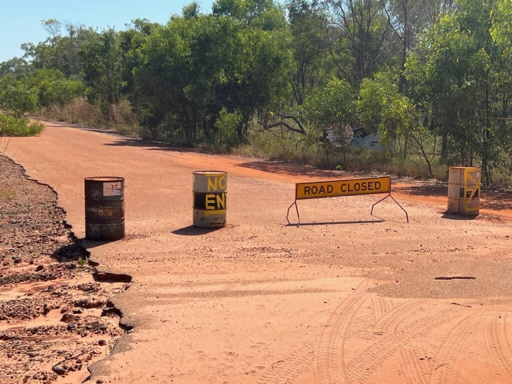
It would have been a much smarter move in hindsight to have simply enjoyed one extra day relaxing in beautiful Broome , but, foolishly ignoring the advice of our camping neighbour we opted to make the 5 hour, 420 km round trip on to Cape Leveque. There are precious few places we regret visiting but the trip to “almost” Cape Leveque was all for nought – the final 5 kms of the road to the Cape ( the principal attraction ! ) was closed ! We should have listened to our Broome camp neighbour ( serves us right ! ).
Dead end ! We drove 420kms return to see Cape Leveque – road closed 5 kms from the end 🙁
Beyond Broome, it was a short hop to Derby, jumping off point for the legendary Gibb River Road. More on the legendary “Gibb” next week !
Fueled up for the long run to Derby and on to the Gibb River Road. An extra 80 litres. Our collapsible fuel bags have been a life saver.
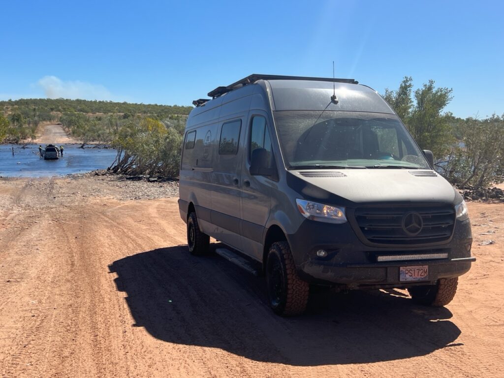
The PanAm completed in April, 2022 and with the truck camper sold, we shipped our new Sprinter van to Australia in late 2022. We travelled there through all of 2023 and into 2024 before shipping it up to North East Asia where we travelled for 4 months between Korea and Japan, before shipping it back to North America. It’s our plan to continue exploring the world in 2025.