
Crossing just over the Northern Terrirory border bought us to the Kulgera roadhouse. If Oodnadatta billed itself ( probably somewhat generously ) as the hottest and driest place in Australia, Kulgera steals the crown as the most “central” community in Australia and proudly promotes itself as such – at least the Kulgera pub states it is the “closest pub to the geographic centre of the country” !
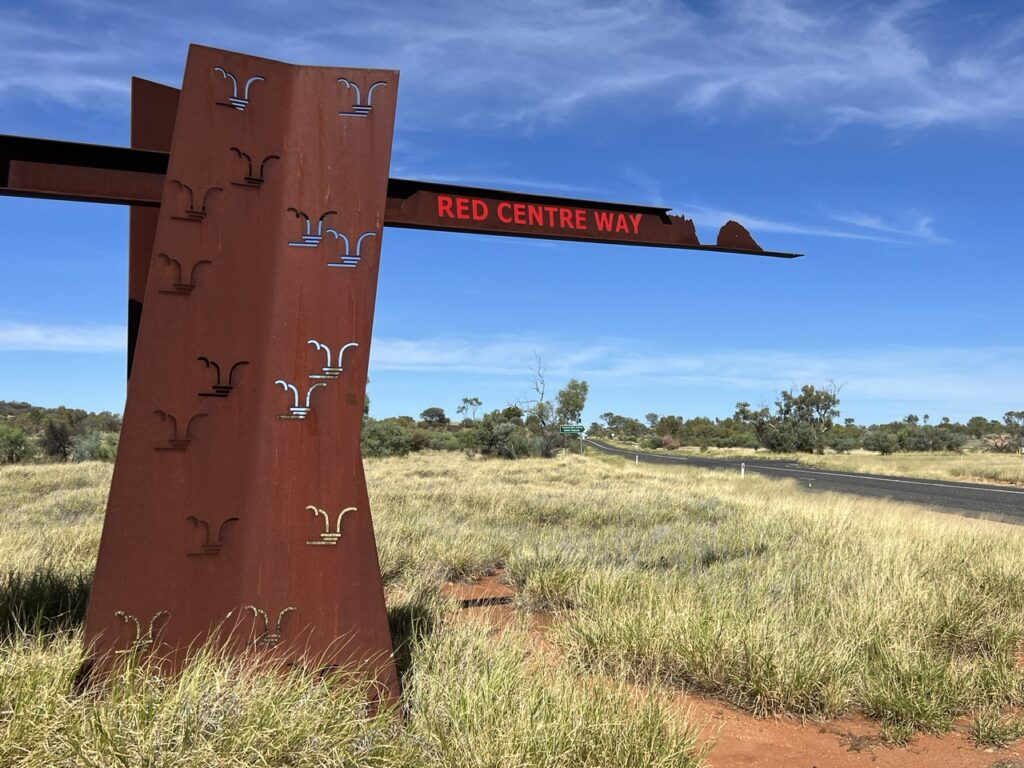
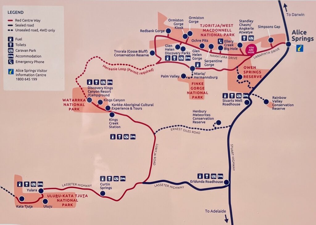
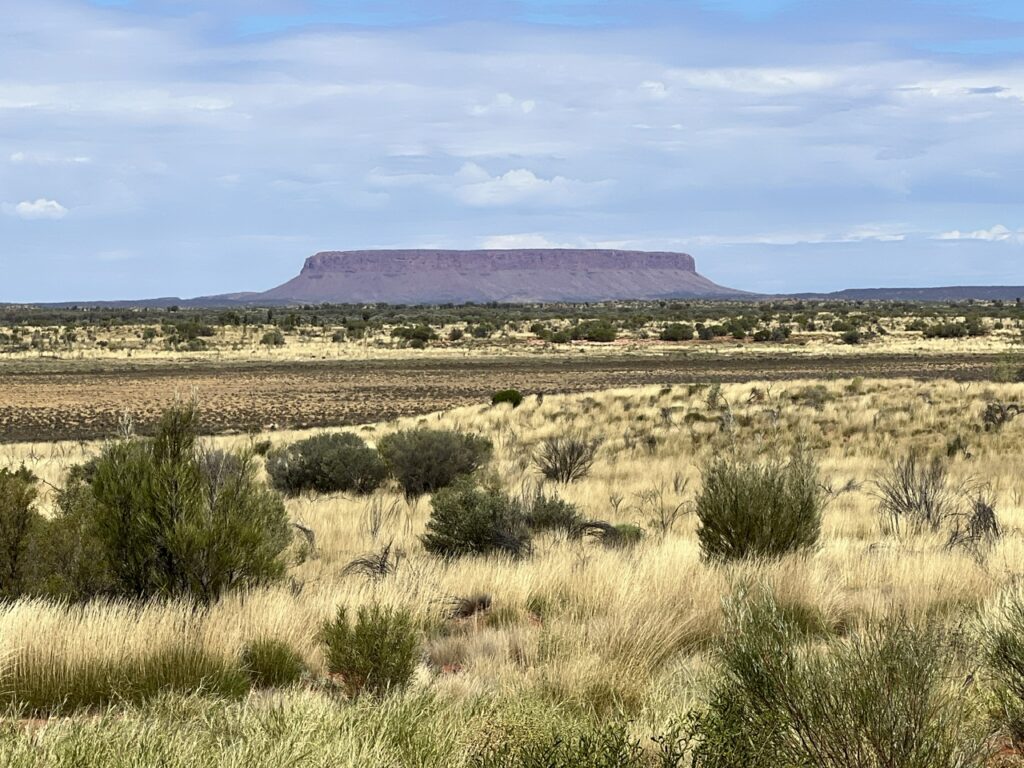
Initial destination, Alice Springs ( hereinafter, simply “Alice” ), 4 hours further up the Stuart Highway where we’d stock up on supplies and fuel for what would be a week or so travelling what’s become known as the Red Centre Way – a loop, west of Alice catching the sights of the West McDonnell Range, a dip south west on the ( very corrugated ) gravel Mereenie Loop to Kings Canyon, and then on to the rock star attraction of the area, Ayers Rock ( Uluru ) and the Olga’s ( Kata Tjuṯa) before returning to the Stuart Highway.
Given we’d both visited the “Rock” back in the early 80’s (when it was actually possible to climb it – seems almost sacrilegious to admit that these days ) we very nearly decided to skip it. How could it be better to just “see” it now than it was to actually climb it, we reasoned ? Wiser heads prevailed and considering the myriad attractions nearby the decision was made to add in a revisit – and are we ever glad we did !
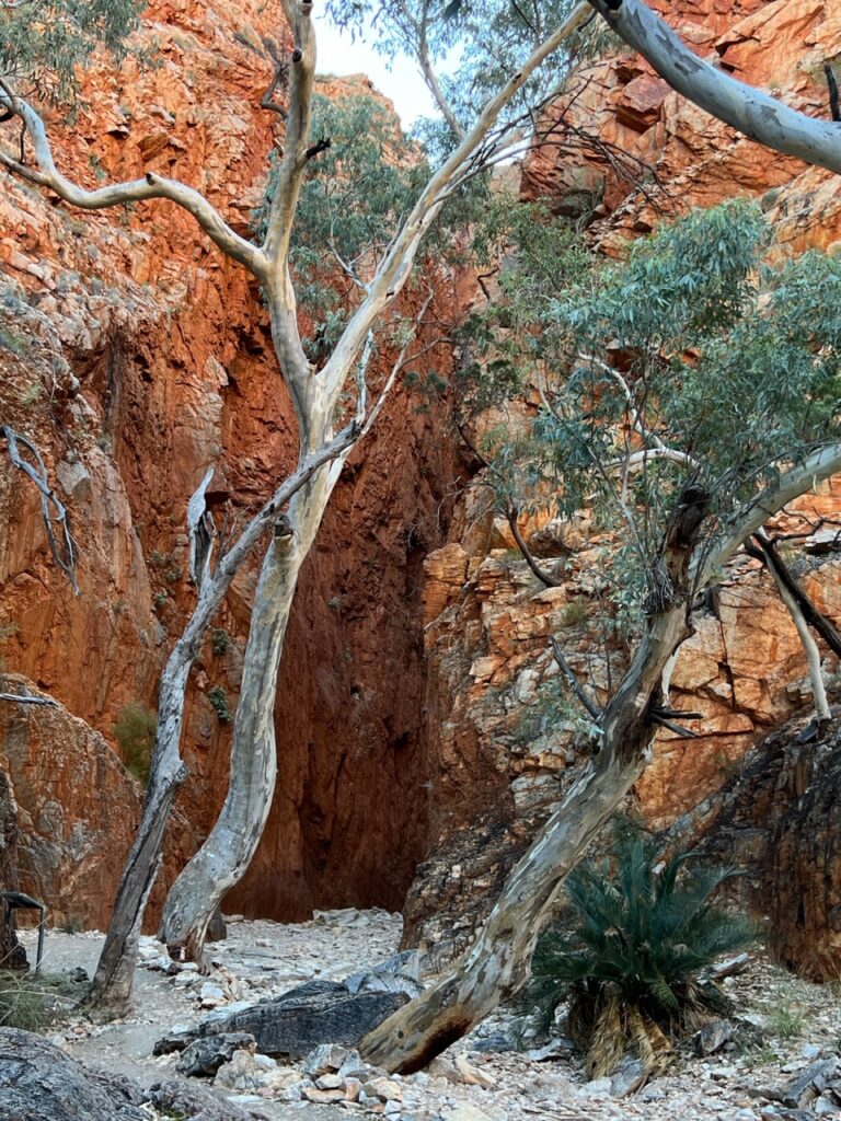
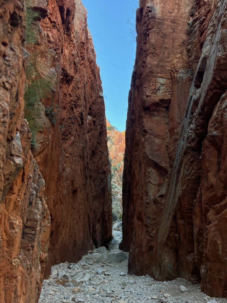
But first, to Alice. Anyone in Australia would be aware of the recent social issues plaguing Alice and some went so far as to suggest skipping it altogether. We didn’t, and actually couldn’t, as we badly needed supplies, and Alice is THE ONLY spot to stock up out here. We found the town clean, quiet and never felt unsafe ( the issues had occured almost exclusively at night so we wisely did not stay in the city itself, spending our first night at nearby Standley Chasm ).
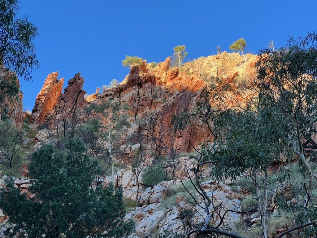
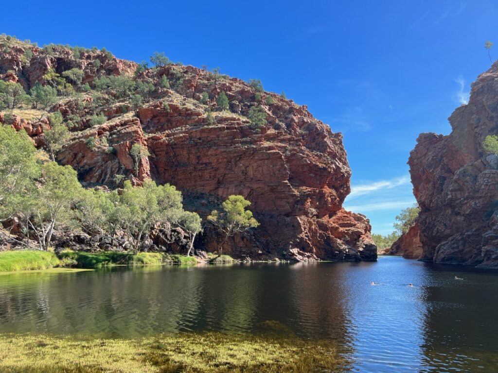
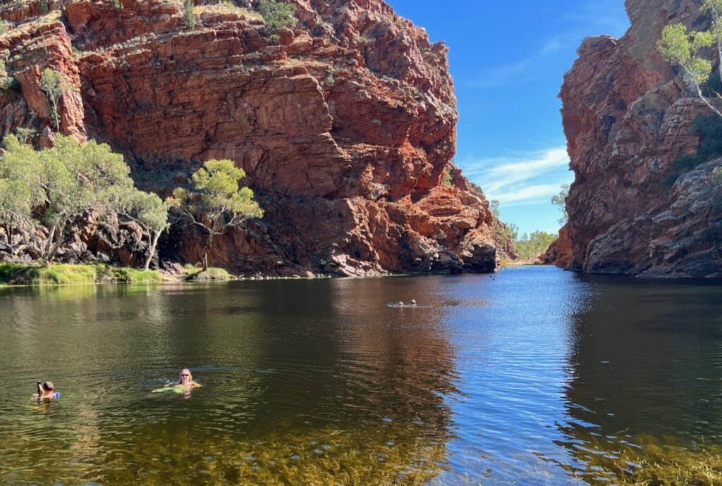
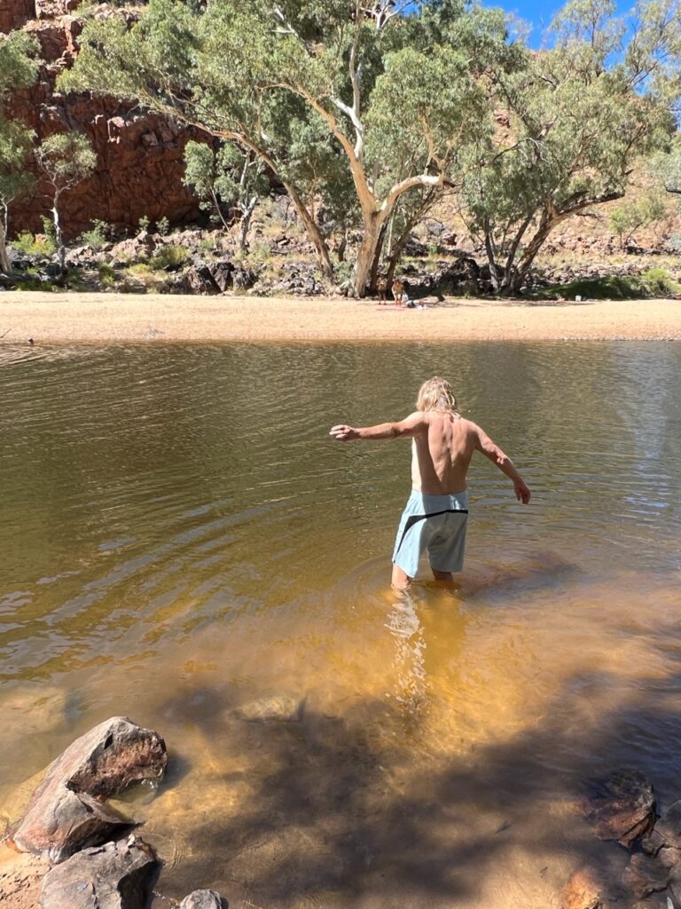
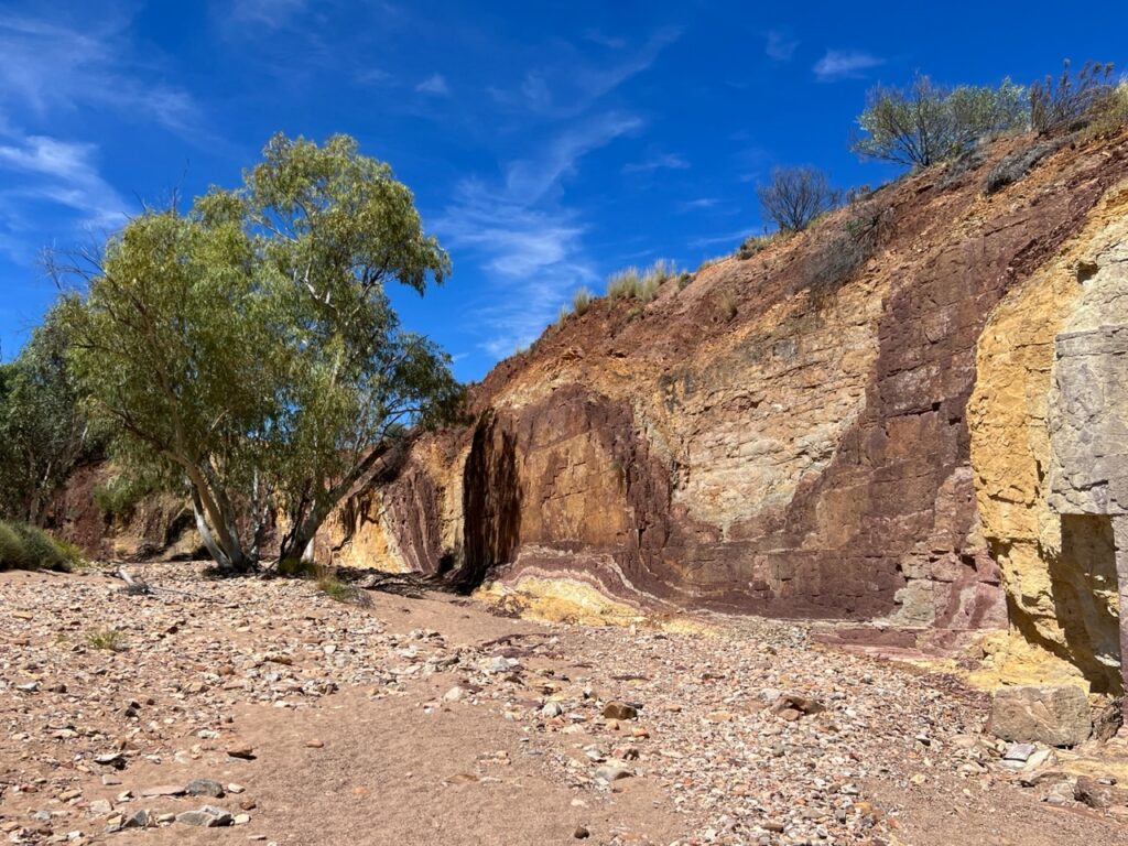
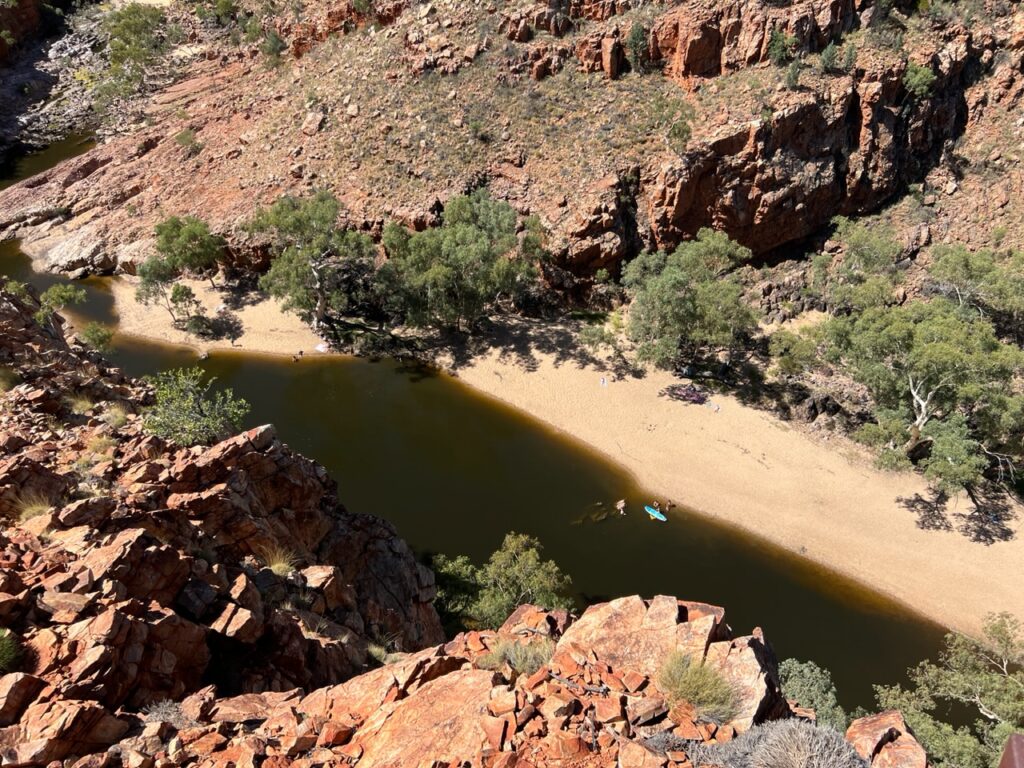
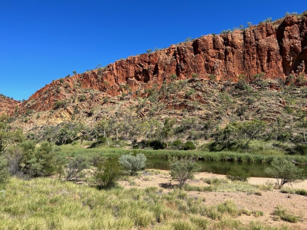
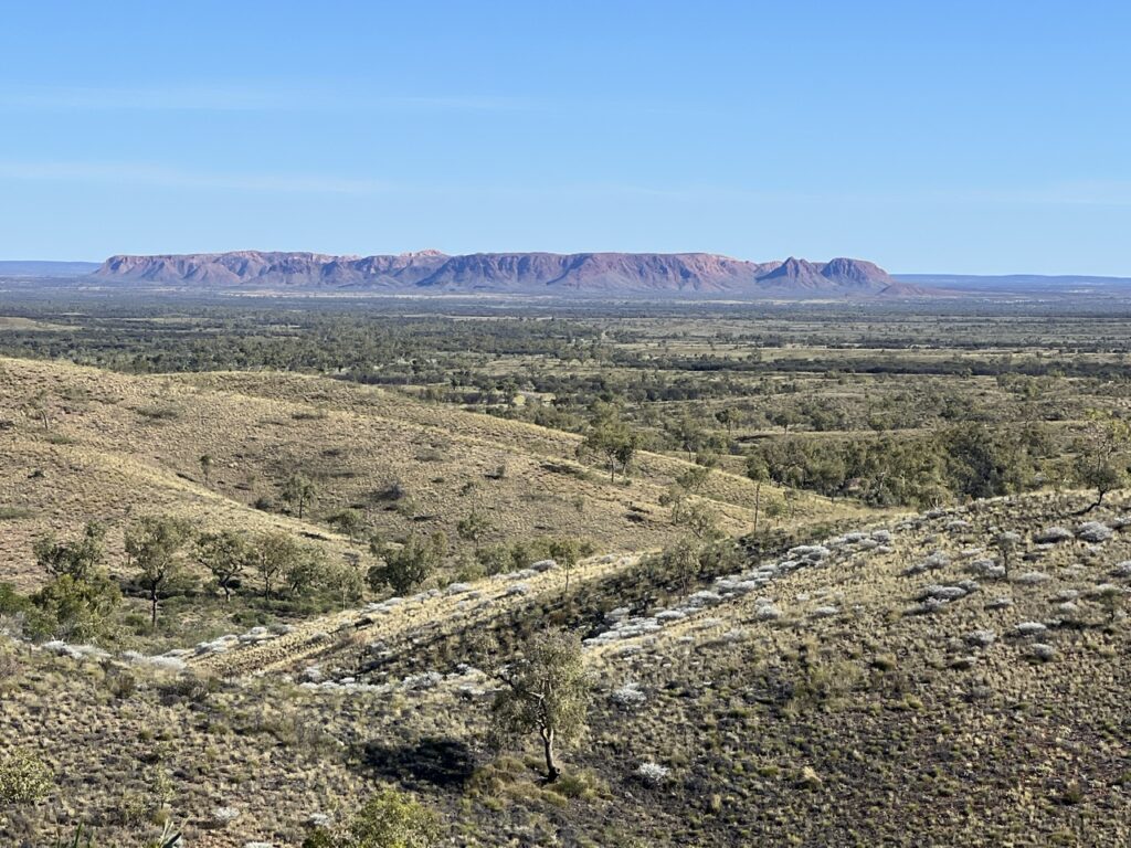
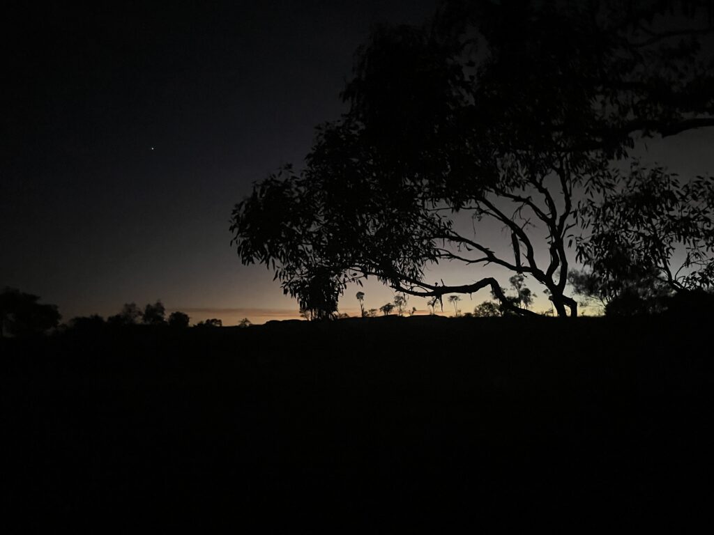
The West McDonnell Ranges lived up to their billing and we stopped at most of the key sights – the area’s always natural beauty enhanced right now by a carpet of green vegetation, the result of late season (and unusually heavy) rains, a vibrant green not seen in the area for over 20 years according to reliable locals with whom we spoke. Suited us just fine ! One particular highlight was a stunning view of the desert night sky while wild camping near the end of the McDonnells.
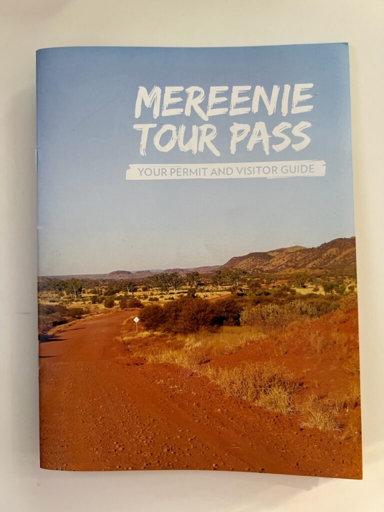
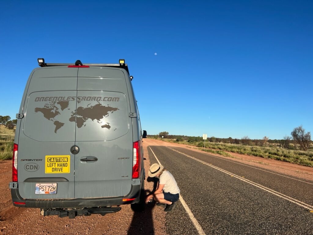
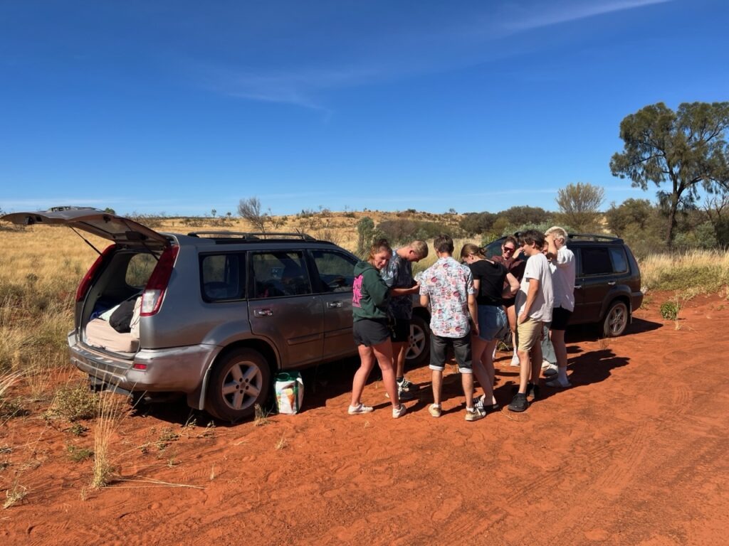
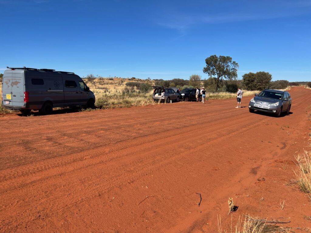
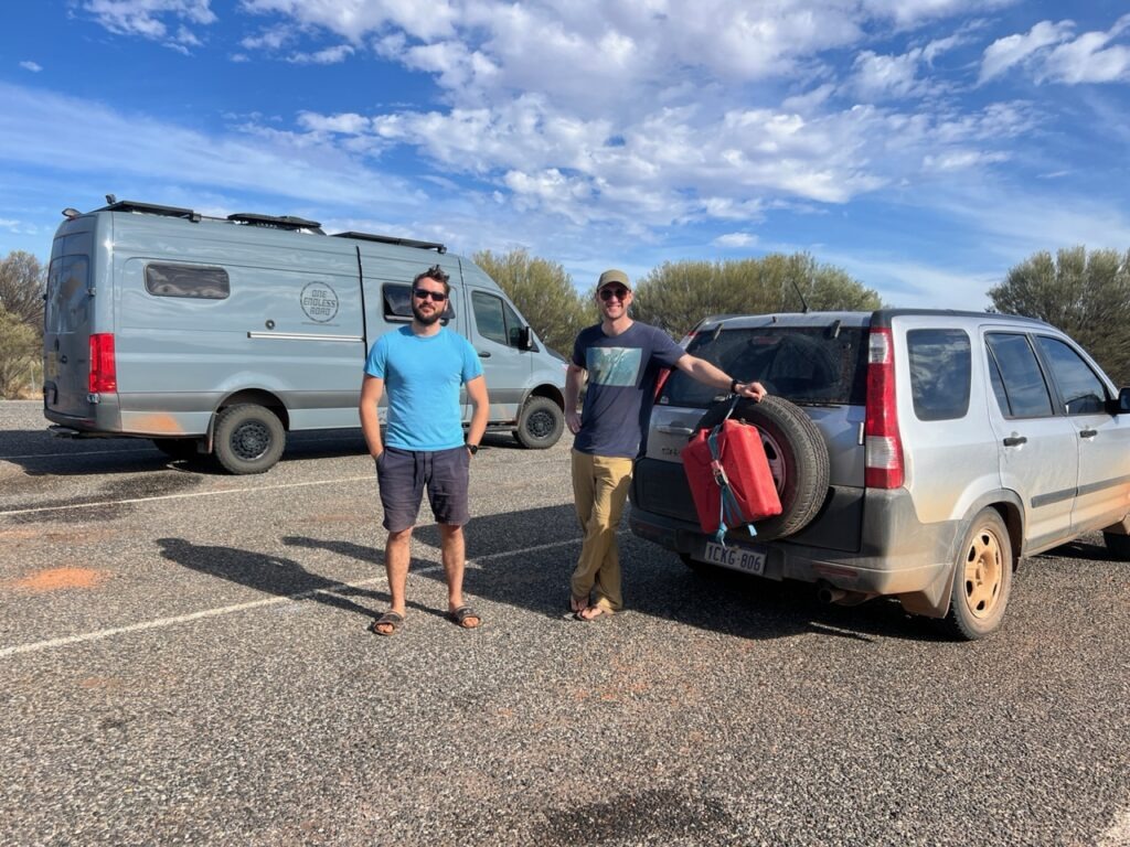
Between the western edge of the McDonnell Range and Kings Canyon was the Mereenie Loop, for some an attraction in its own right. Rough, remote, and very dusty this track ( it’s not a road ! ) passes through indigenous lands and requires a permit but saves one reversing direction and going to Kings Canyon the long way round. A worthwhile trip by all accounts we figured we‘d endure some more dust, more bumps and explore what would be to us, virgin territory. It lived up to its reputation for roughness and dust and it did save a lot of kms, but I wouldn’t say the scenery offered much we’d not seen before. The opportunity to assist some some very young German travellers stranded in the middle with a failed starter motor added to the excitement and assuaged our desire to do a good deed where we could.
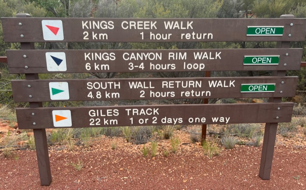
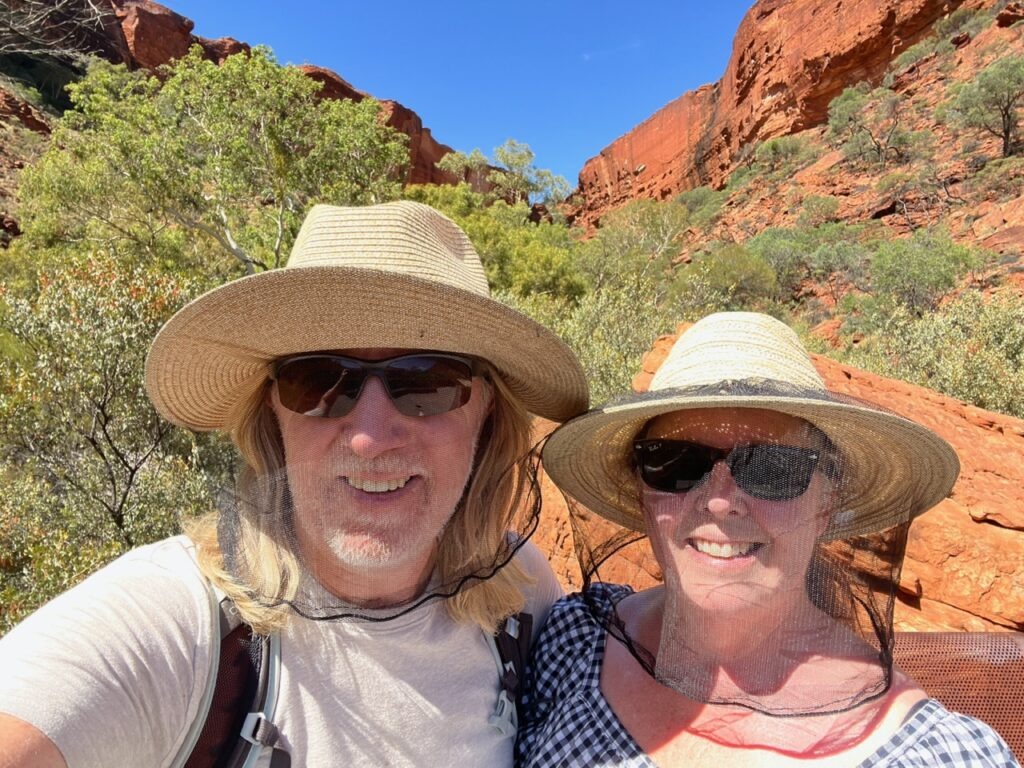
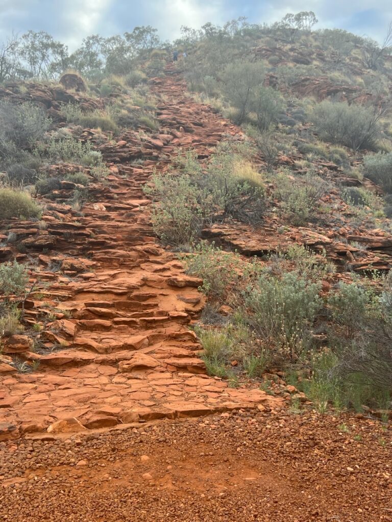
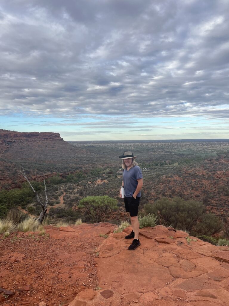
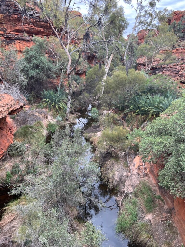
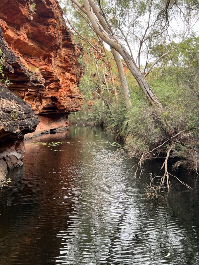
Kings Canyon had been much hyped but not without justification – it truly is a very impressive attraction. Multiple great hike options- we did the short one and the rim walk ( worth the near vertical climb at the beginning ! ).
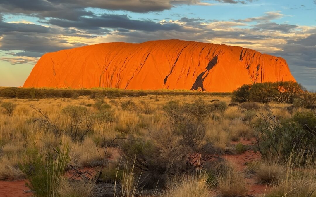
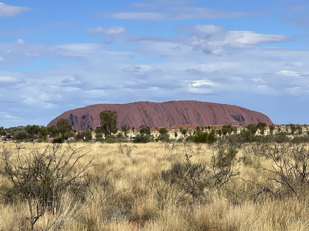
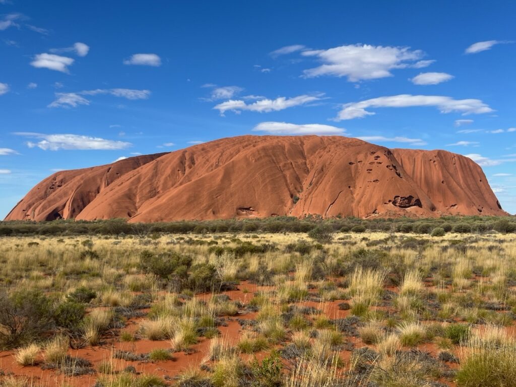
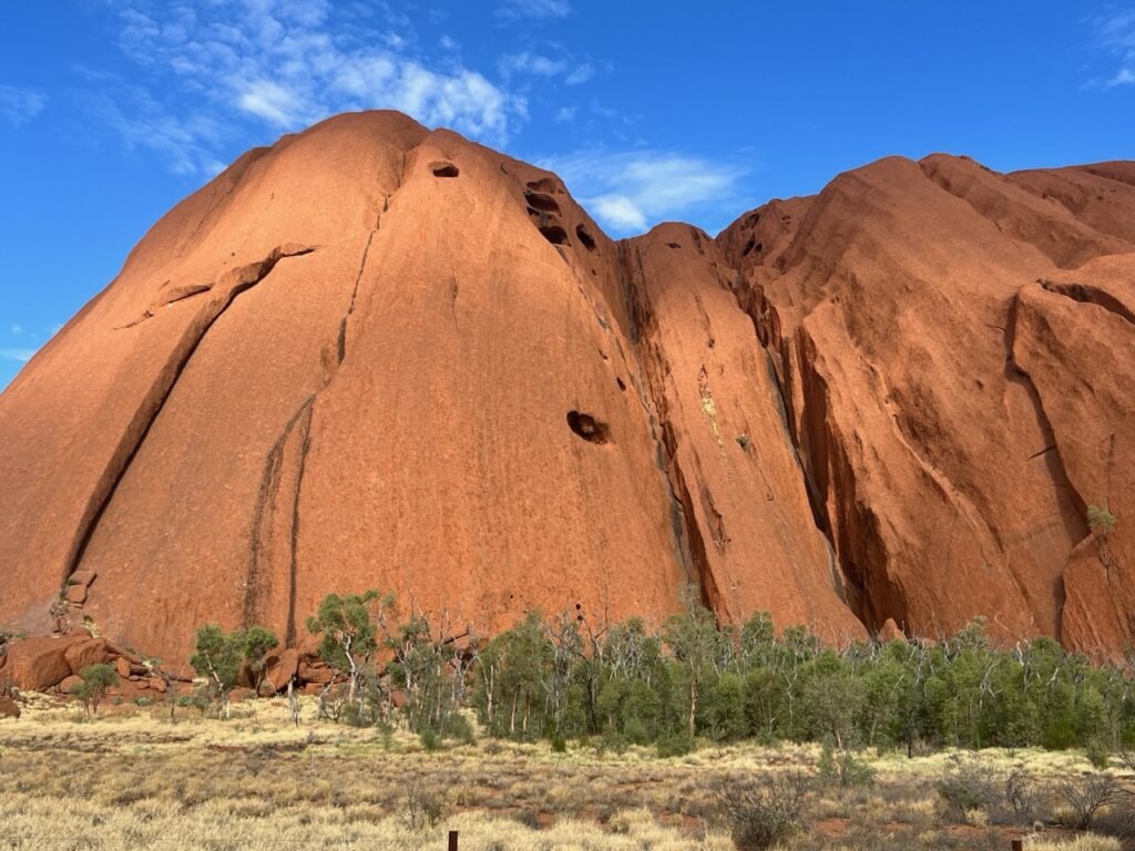
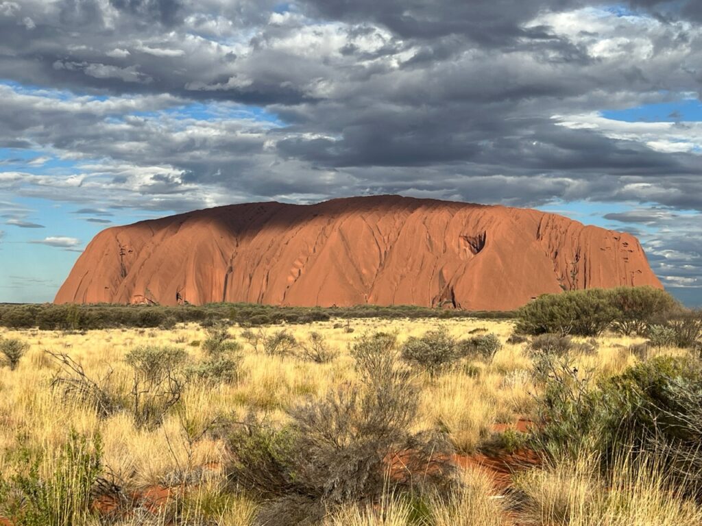
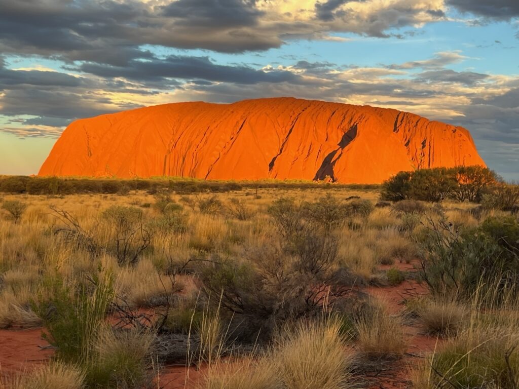
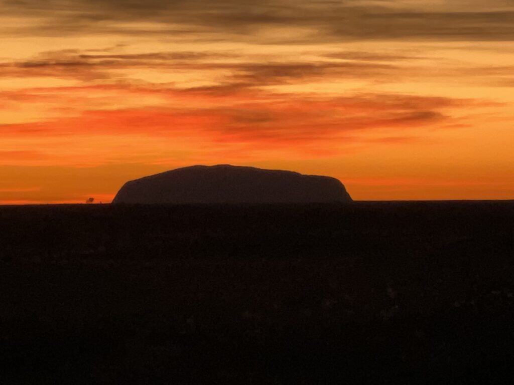
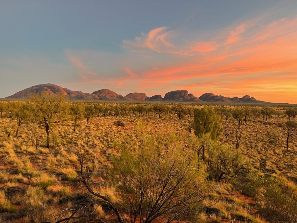
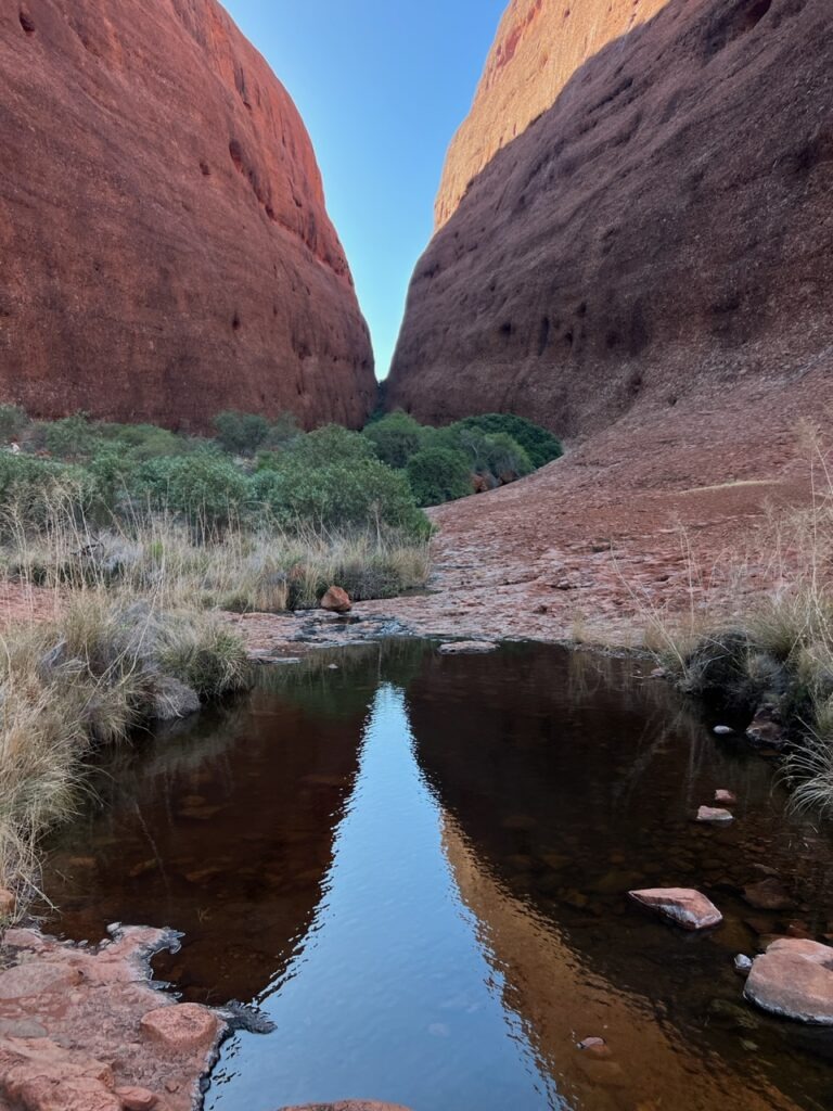
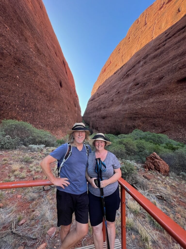
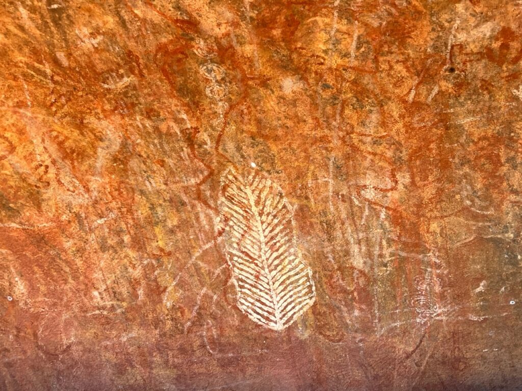
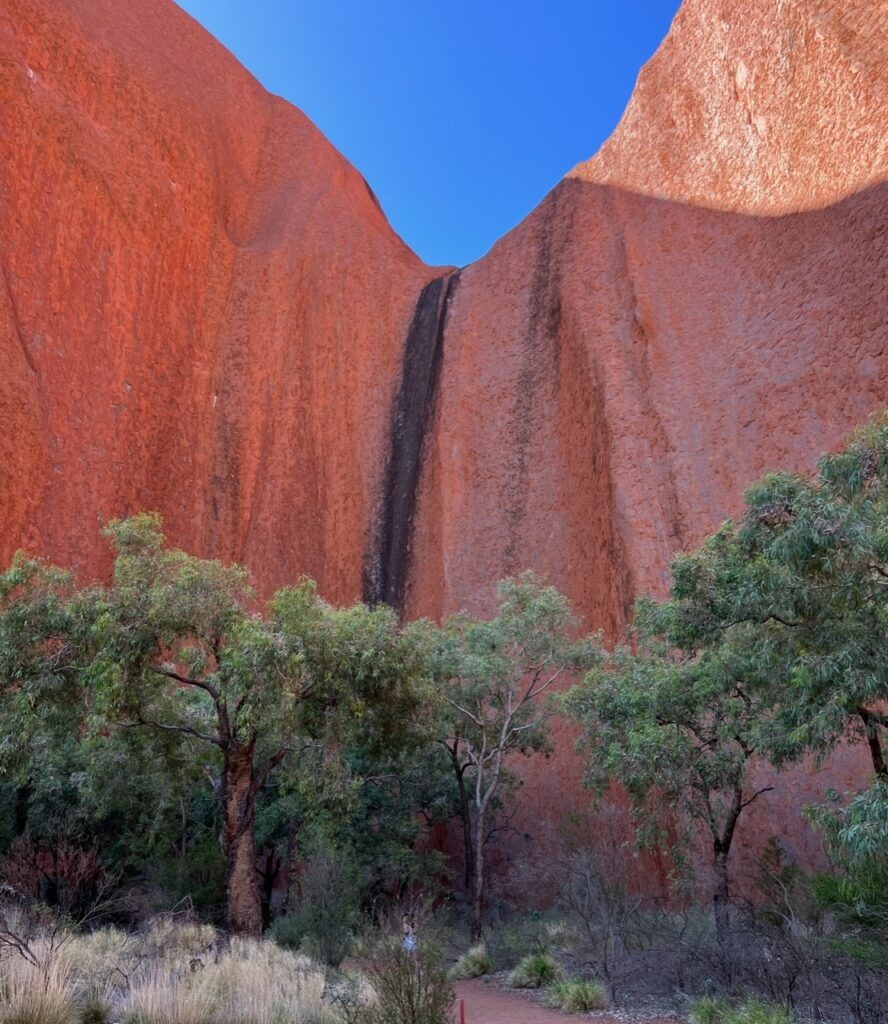
From Kings Canyon it was back on sealed roads and on to Ayer’s Rock. Visible from 50kms away ( and seems to grow as you get closer ) it’s still one of the greatest natural wonders we’ve seen. The highlight this visit was the great sunset – the change in its colors is amazing. The Olga’s- to my mind anyway, better up close, the Rock more impressive when viewed from afar ( and at sunrise and sunset ). On the second day there we went to view sunrise at the Olga’s which also gave a great perspective of the Rock silhouetted against a rising sun. Spectacular stuff ! Honestly we both agreed that that the sunrise/sunset viewings, a drive around the Rock and a walk to the more impressive areas of the Rock were more memorable than the climb itself over 40 years ago…..and I didn’t think I’d be saying that !
While some folks following our journey asked if we were continuing north after the week’s soirée around Alice, the McDonnells, Kings Canyon, and Uluru, we are in fact heading back south – down the Stuart highway towards Port Augusta and then on to Western Australia. We’ll come back to the Northern Territory from the north – it provides better weather timing ( or should ) and gave us the opportunity to travel on both the Oodnadata Track and the Stuart highway, difficult if one just goes straight north up to Darwin.
Time will tell how it all plays out…!
Till next week …..
Fantastic! Love the photos. How did the airing up process work?
Easy……went into the first gas station once on bitumen and used their high speed pump! Mine will do it but much more slowly !
Great photos! Love your video clips. Makes me feel I’m on the road with you. Safe travels ahead!
Yes, I’ve figured out the video thing now ! Will try to do more.