
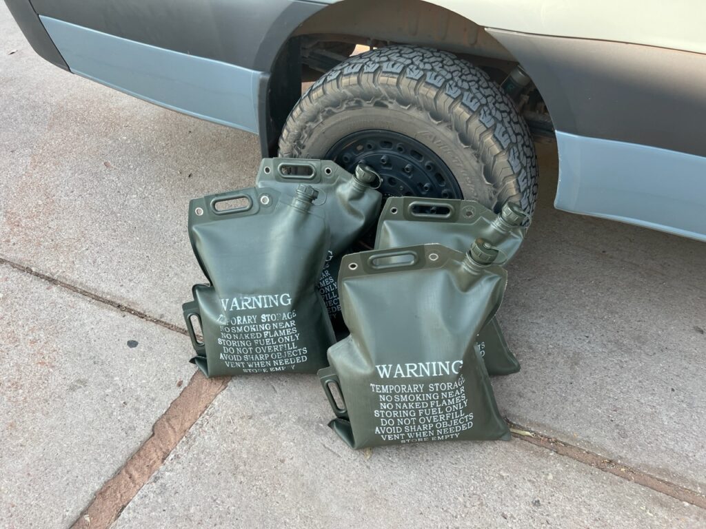
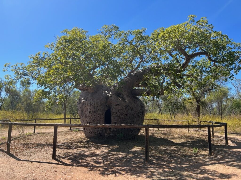
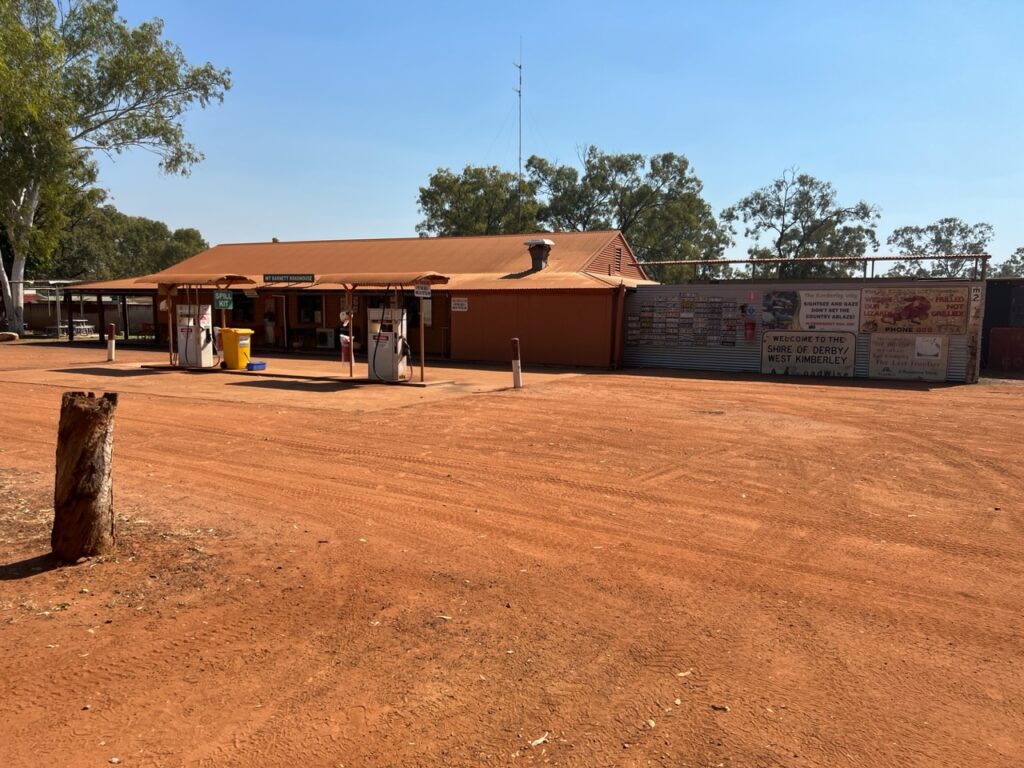
Prior to leaving Derby , we took in some of the local sights – it’s small, there’s not much there and it seemed extremely quiet on the Saturday when we arrived. There’s an interesting jetty where one can observe the scope of Derby’s famously varied tides, a unique boab tree once used as a prison ( yes, really ) and a few other lesser attractions – key needs for us as we considered our options on to Kununurra were food and fuel – we’d need lots of both as there were long driving stretches ahead.
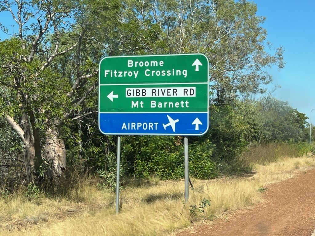
Barely 5kms outside Derby the road forks. Straight ahead and Highway 1 takes you on to Kununurra; to the left, lies the legendary Gibb River Road ( just west of Kununurra the two roads converge again ). The “Gibb”, actually shorter and definitely more scenic, but strewn with teeth chattering corrugations from start to finish. Highway 1 slightly longer, but blacktop all the way, albeit a far less interesting road. Crunch time upon us, a decision we’d been mulling over since we arrived in WA had to be made. Unlikely to ever come back this way, the van ready to go, and us wanting to do at least one other outback track that might better challenge the van’s capabilities, the decision was made – we’d tackle the Gibb River Road !
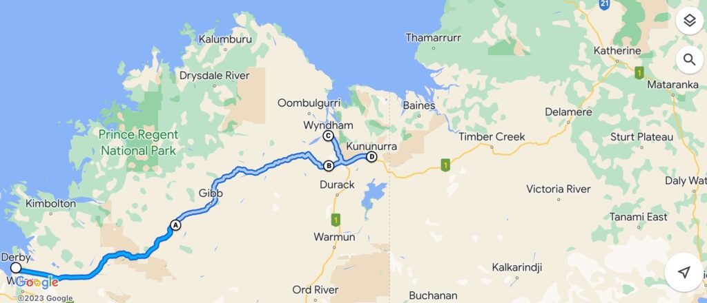
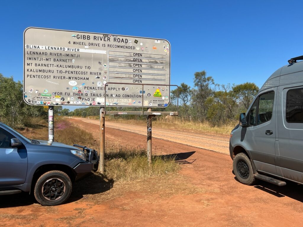
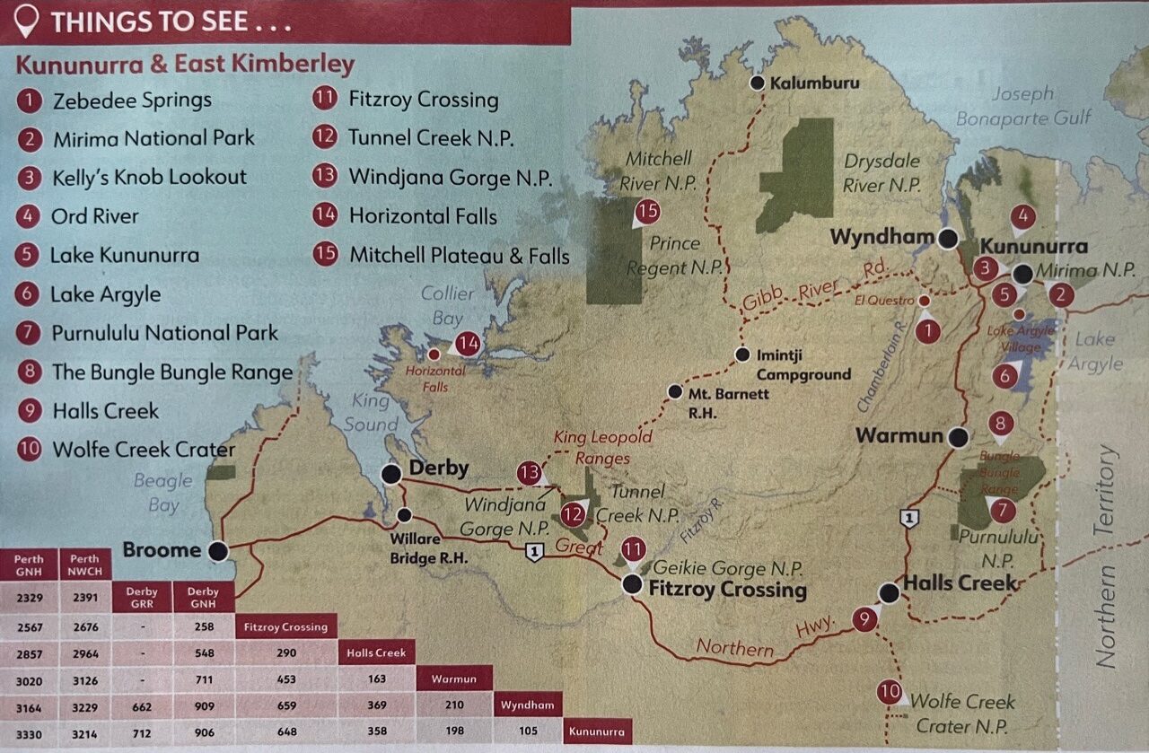
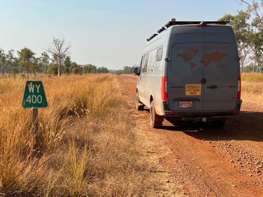
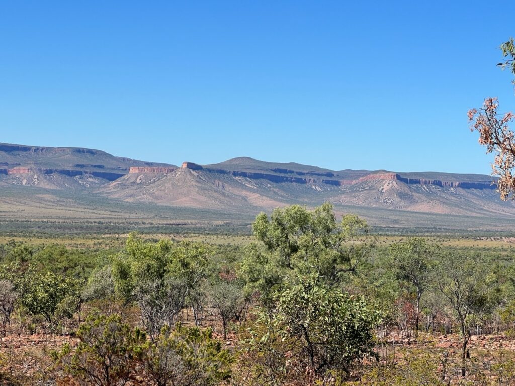
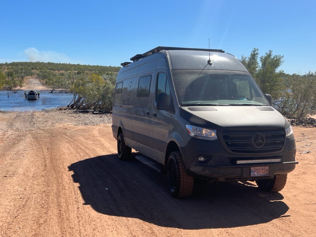
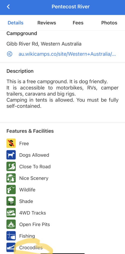
At over 650 kms in length, the Gibb is a multi-day affair. Some do it in 2 days ( possible ), some take a week. Certainly if one checks out all its extensions and diversions those “days” quickly turn in to “weeks”. We spent 5 days on the Gibb, following the main track and making diversions as required to visit the most popular gorges en route ( there are many ) but left the longest diversion out ( as many do ). The Gibb tempts you with an initiation of blacktop but that soon gives way to hundreds of kms of unsealed surface ( interspersed very periodically with very short sealed sections). Consistent blacktop would not be seen again until we crossed the Pentecost River just a short distance from the end of the road.
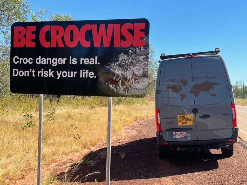
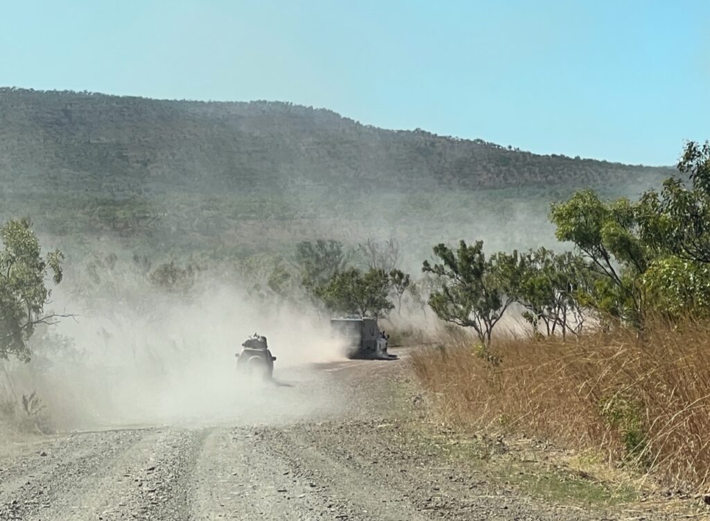
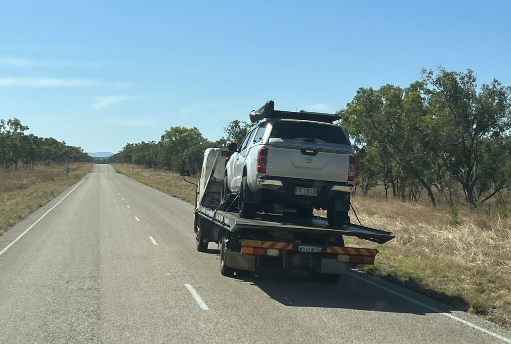
The Gibb for us fortunately went pretty smoothly- we’d heard of ( and seen with our own eyes) several vehicles carried off the track on a flatbed truck. We would go on to see several with nasty flat tires, cracked screens and 3 camperized vehicles get stuck crossing the crocodile infested Pentecost river ( all needed to be winched out ). None of the above for us – apart from a couple of decorative rubber caps for our hitch and side steps being lost reaching Adcock Gorge, we survived the Gibb unscathed. A relief to make it through, and very glad we took on the challenge, we’re also glad it’s now in the rear view mirror. A difficult road it’s not- there is no inherent danger, no steep cliffs, no huge potholes or the like – but it will shake you hard – very hard – all the way, just more or less very uncomfortable. And, hence, very tiring.
I was asked how the Gibb compared to the Oodnadatta Track ( they are about the same length ). In terms of surface quality, the Oodnadatta “Track” was much closer to deserving the title of “road” whereas the Gibb River “Road” could more aptly have been called a “track”. There was some lengthy respite from severe corrugations on the Oodnadatta – none such on the Gibb. Traffic ( or lack thereof ) probably explains the difference – we regularly passed cars and trucks on the Gibb ( sometimes being behind a line of them even ) whereas we could count on our hands the number of vehicles we saw on the Oodnadatta. We only camped alone once on the Gibb (lots of people around), while we never camped with anyone else on the Oodnadatta. Among the many thousands ( tens of thousands ? ) of campers on the road in Australia ( and there are many ! ) the Gibb River Road seems to be on the bucket list of most – certainly anyone with a 4X4 vehicle (which is required).
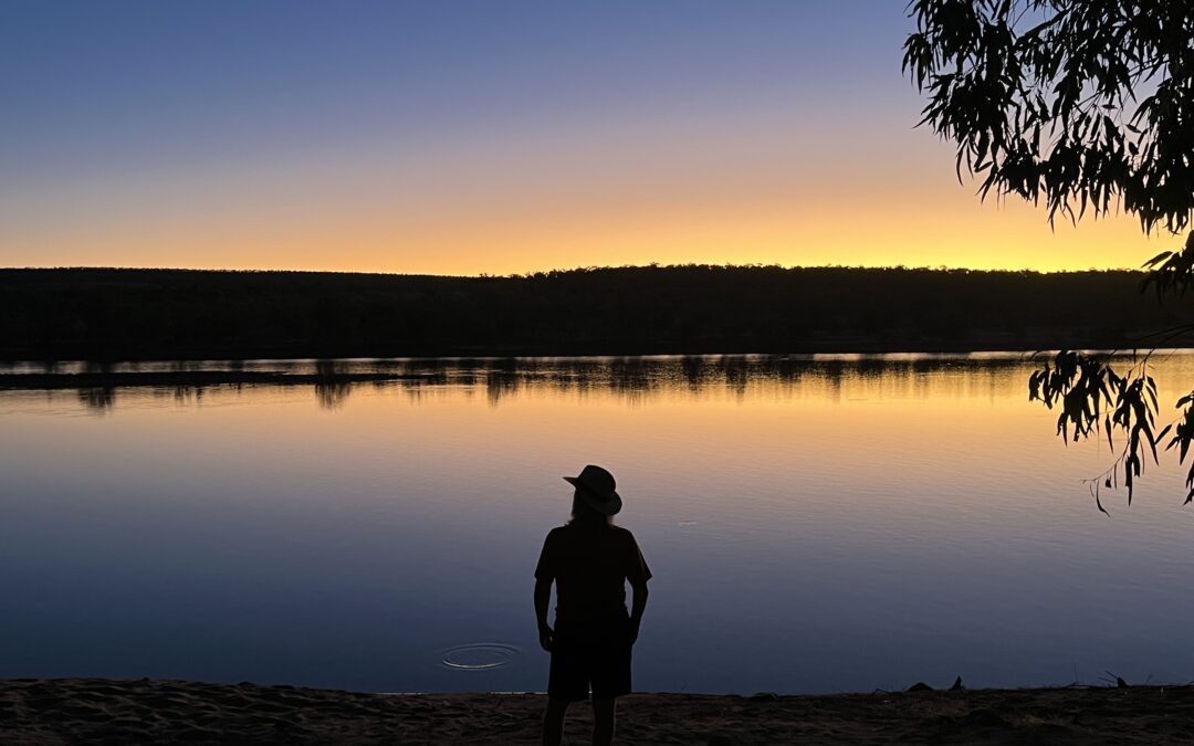
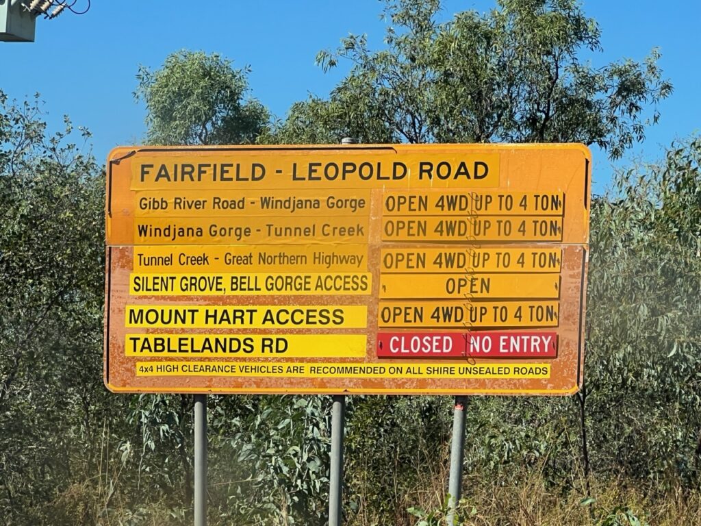
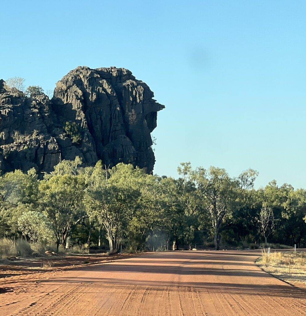
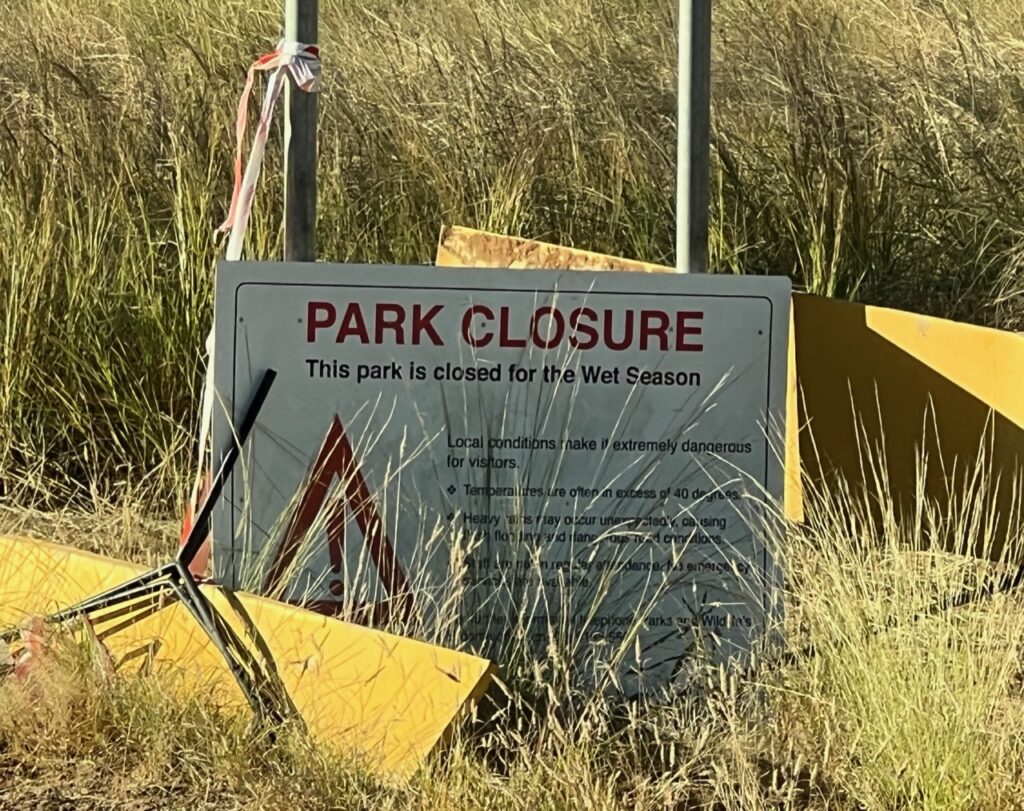
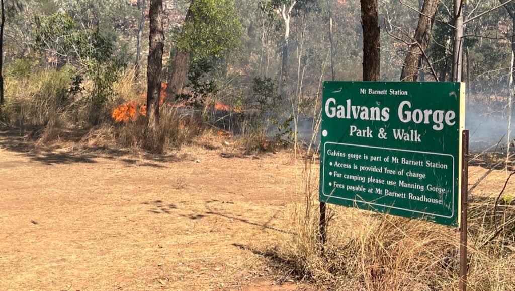
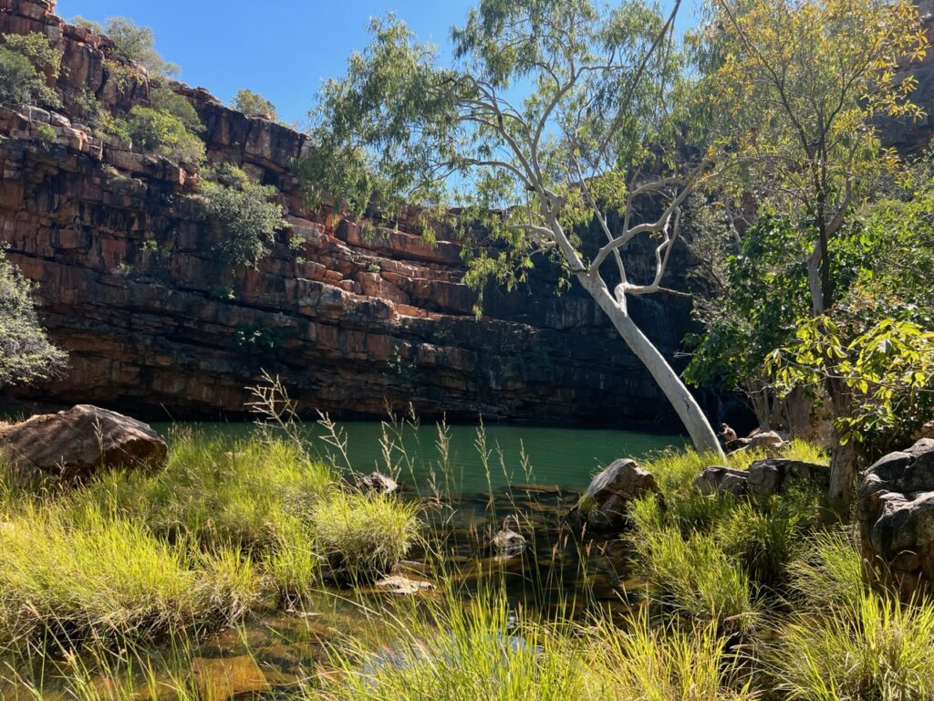
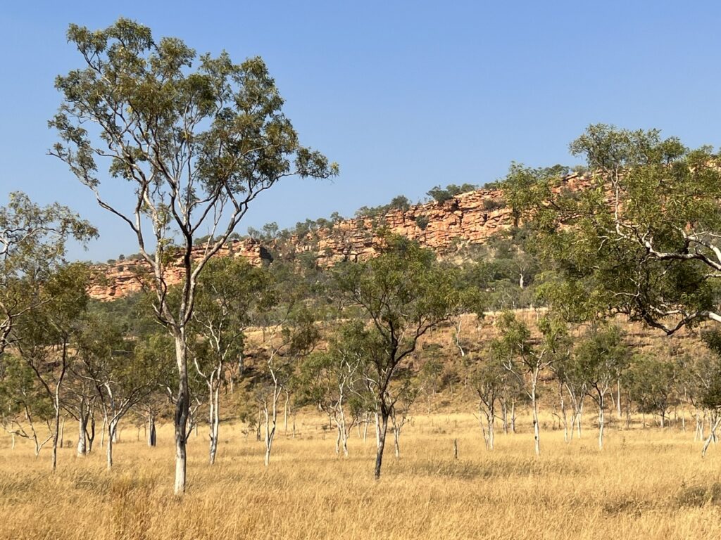
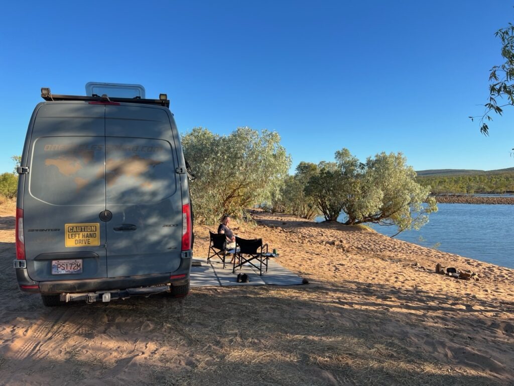
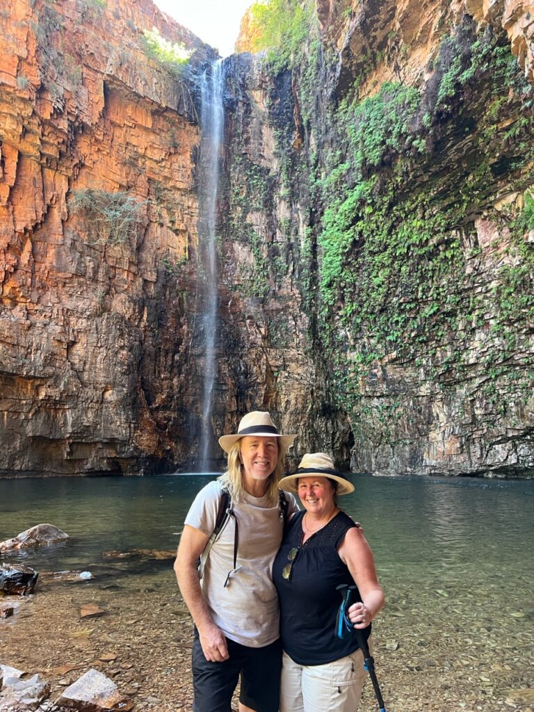
It was an unforgettable drive- we met some great people en route and the many gorges ( for which it’s famed ) dotted along the route provided a welcome distraction from the heat and dust. Oh, yes, dust – lots of red dust !!!! Sadly several of the gorges were closed ( one to flood damage, another to fire, and a third required a vehicle capable of fording a 1 metre deep creek- sadly beyond the capability of our snorkel-less van ). Bells Gorge we chose to skip due to the uncertain creek depth. That all said, Adcock, Manning and Emma Gorges were open for us – Emma being the definite highlight of the trip. Truly an impressive sight.
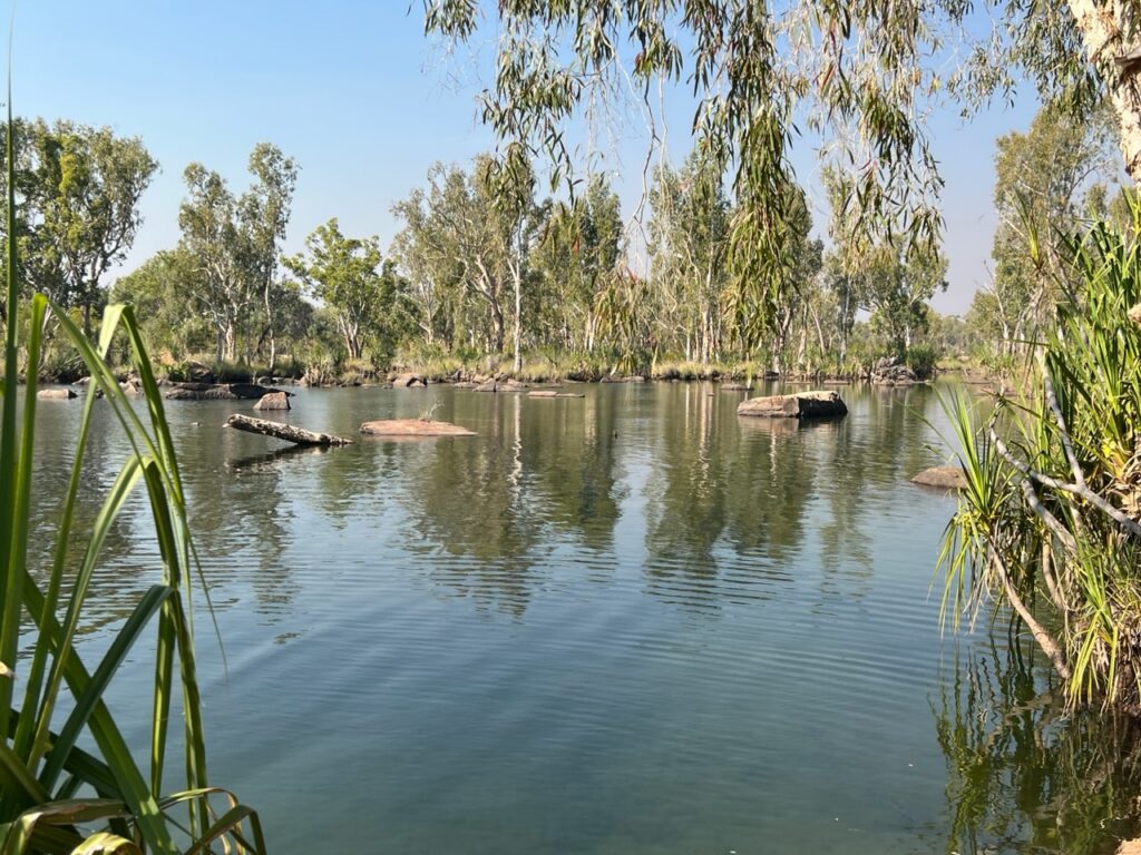
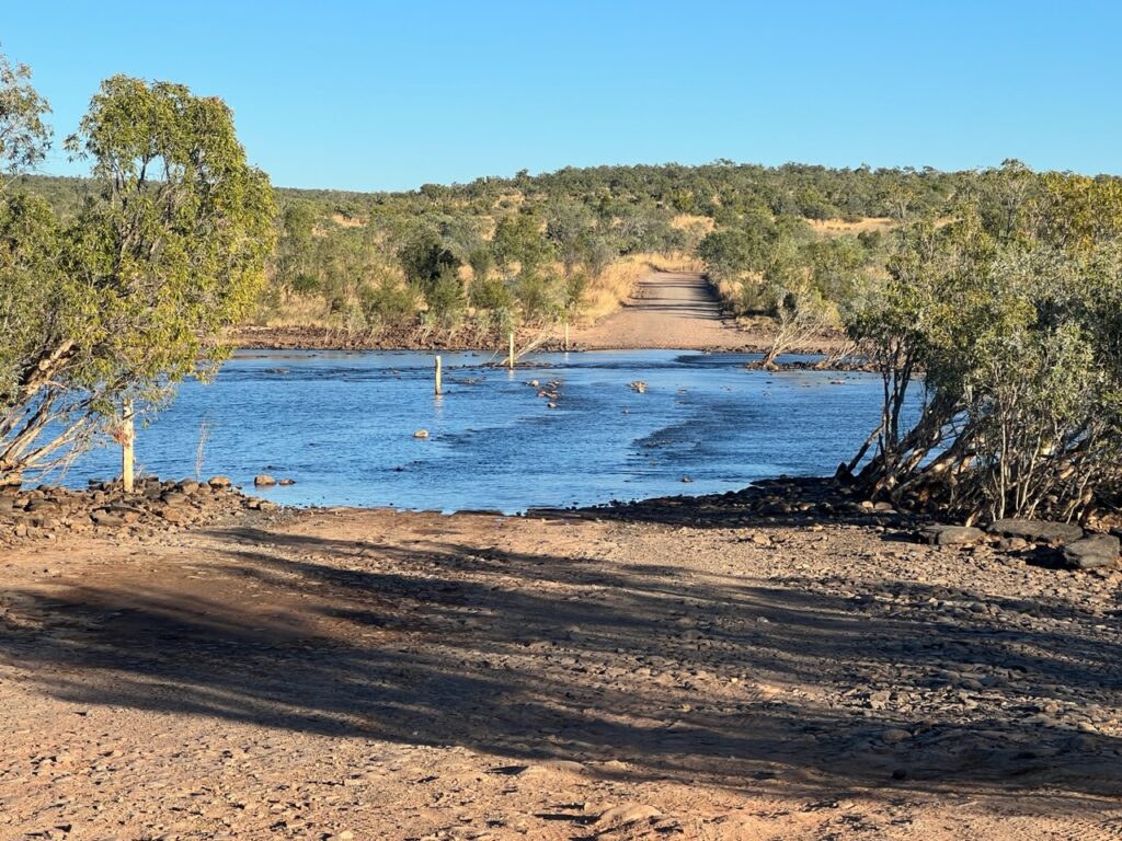
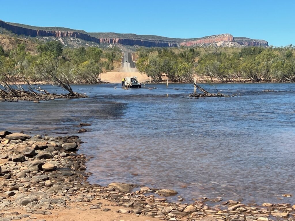
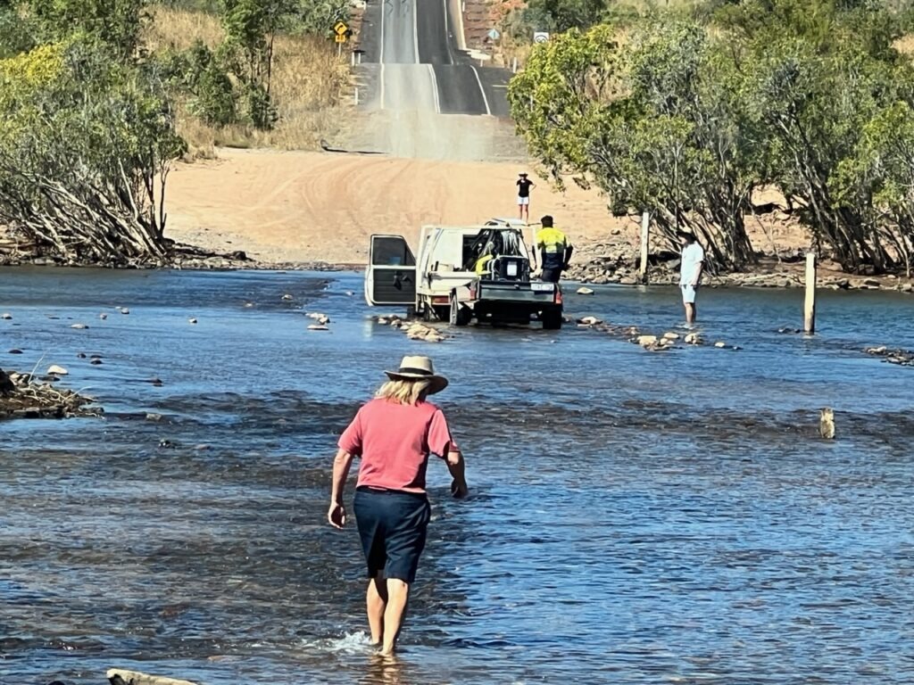
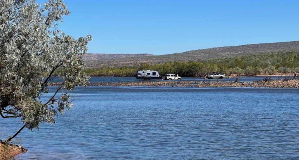
Setting out on an adventure like the Gibb – and it was an adventure – you set certain milestones and one of the biggest was successfully crossing the Pentecost River. It’s only 50 or so kms from the northern/eastern end of the journey but can be problematic if too deep to cross. I’ll confess it was on my mind all the way through ( as it is for most on the Gibb ) since it’s an awful long way back if you can’t get across – a thought we absolutely dreaded ! While we would watch 3 campers get bogged in the middle of the Pentecost River (needing to be winched out ) we ultimately cruised through with ease – never have we been so happy to be on the “north” side of a river in our lives!
Till next week…..
That’s fantastic! Great to see the 4×4 capabilities of your rig getting put to the test!
Yea, there were a few spots where it came in handy. You’d love it in the Jeep !
Good that you conquered an ‘Aussie’ icon track. Your Pentecost River Crossing was favourable compared to our couple of times – it was much deeper & we certainly couldn’t see the bottom. Shame some of the good spots were closed. We’ve tried several times to get to Jim Jim Falls in the Kimberley’s, but resident crocodiles always stop us. Keep on enjoying your travels & remember it’s the journey – not the destination that counts!
Yes it was definitely inspiring ( but a bit tiring too ) – I wasn’t kidding when I mentioned the Pentecost ( collective shout when we made it 😊). In the NT now and it’s good to be seeing some different things. WA has been the highlight so far for sure though. The journey continues..!
Phew, you made it!!! Well done. Great videos & photos.
Yes, nice to be done !
Fantastic stuff! Enjoyed every inch of your adventure.
✅, and some days an “adventure” it is !
Thanks for another great read! Wow! Some of those waterways/roads were interesting to cross! Glad you’re safe. Take care.
Indeed, some were ! Nice to be finished 😊